Wikimedi'Òc
Modes d'emploi

Cet album fait partie des albums
Cet album photos contient les sous-albums suivants :


USA Middlesex County, New Jersey age pyramid.svg - DieBucheBot

Panorama mp1.jpg - Hb123
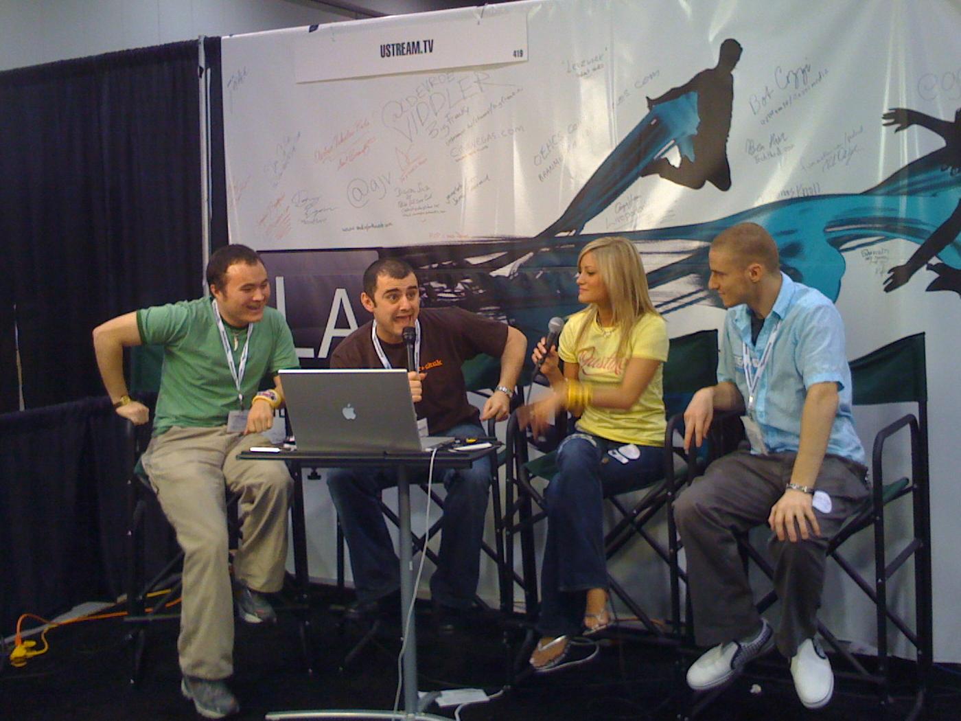
20080814 New Media Expo 2008.jpg - TonyTheTiger
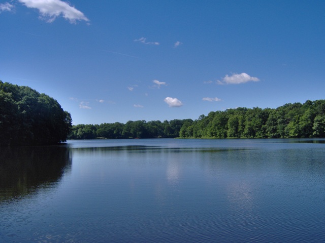
FarringtonLake.jpg - Hb123

HPIM0131farringtonLakeDam.JPG - Hb123

CB at Grasslands.JPG - MGA73bot2

CYB at Deans Lane - 2.JPG - MGA73bot2

CYB at Deans Lane.JPG - MGA73bot2

Cedar Brook.JPG - SreeBot
UNDERSIDE OF SOUTHERN APPROACH SPAN AT VICTORY CIRCLE, SHOWING FLOOR SYSTEM. LOOKING NORTH. - Thomas A. Edison Bridge, Spanning Raritan River at U.S. Route 9, South Amboy, HAER NJ,12-AMBOYS.V,1-25.tif - Fæ
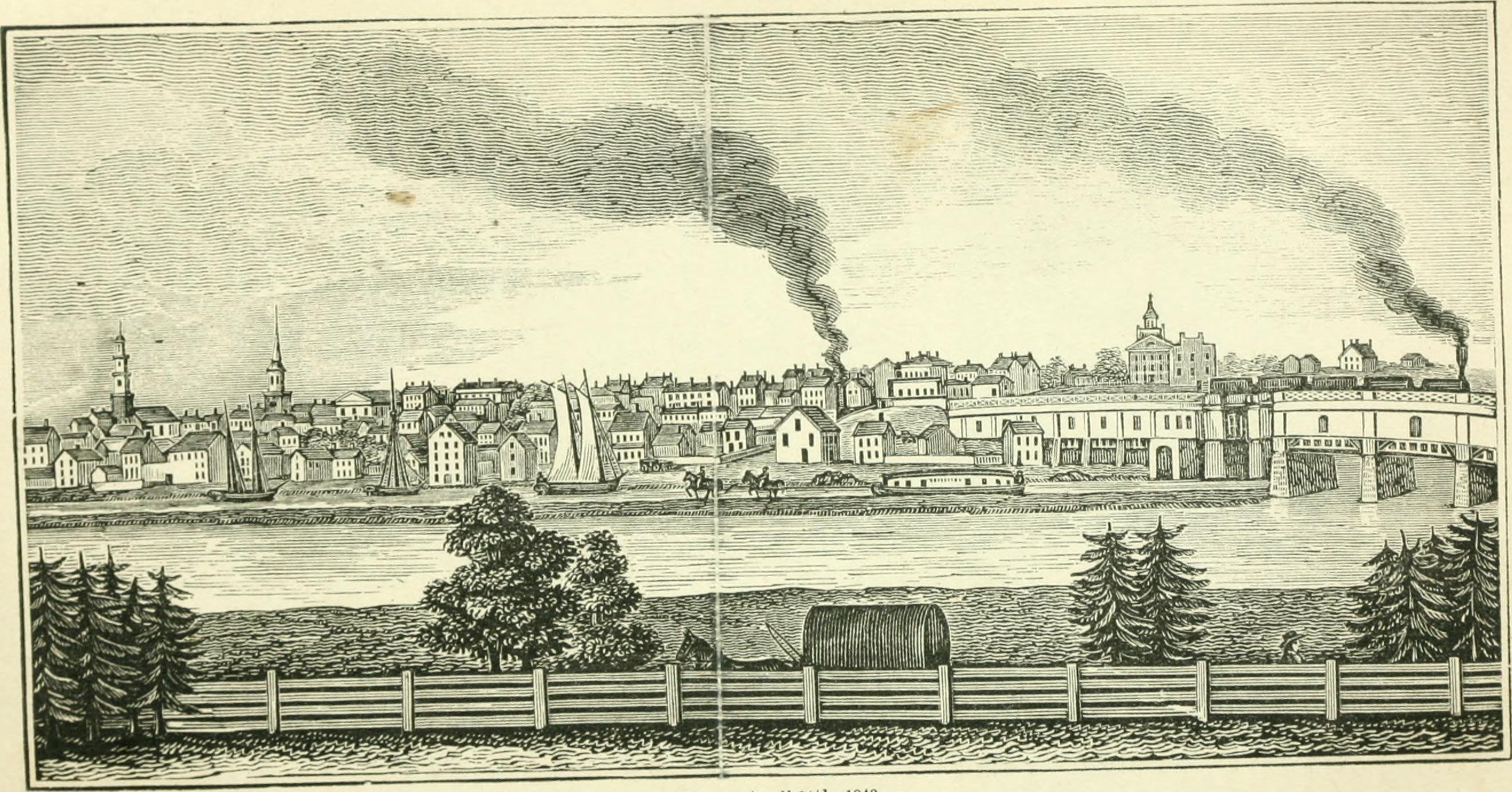
Historical collections of the state of New Jersey- past and present- (1868) (14598387418).jpg - SteinsplitterBot

Democratic Ticket- Cleveland & Stevenson (4359324595).jpg - Sumita Roy Dutta
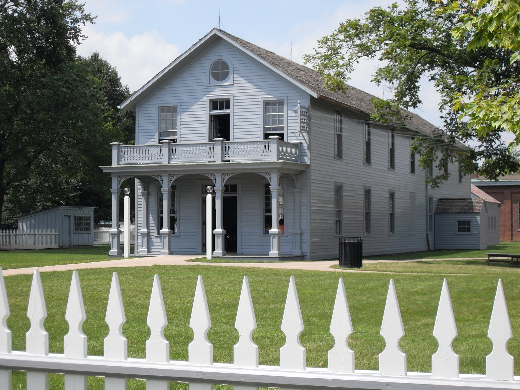
Menlo Park.jpg - RustyShackelford85

Farrington Lake View from the water - panoramio.jpg - Panoramio upload bot

Three Turtles on a floating island (4714264934).jpg - Rudolphous

Choco-havanese.jpg - Pcllin

Bar Chart of Citizenship in Middlesex County, NJ (2015).svg - Dave-landry-datawheel

Bar Chart of Non-English Speakers in Middlesex County, NJ (2015).svg - Dave-landry-datawheel

Bar Chart of Race & Ethnicity in Middlesex County, Nj (2015).svg - Dave-landry-datawheel

Tree Map of Employment by Industries in Middlesex County, Nj (2015).svg - Dave-landry-datawheel

Tree Map of Employment by Occupations in Middlesex County, Nj (2015).svg - Dave-landry-datawheel