×
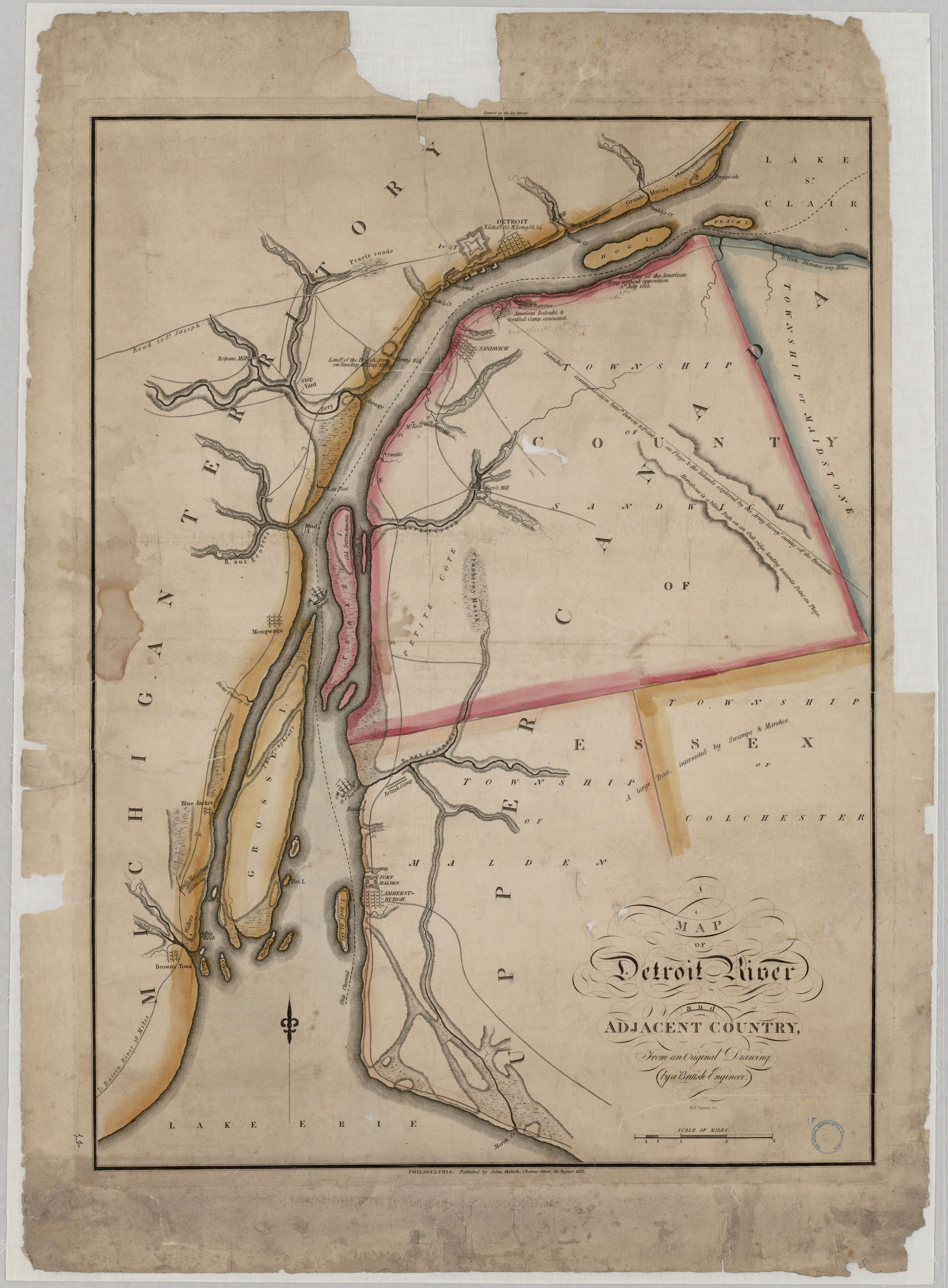
Map of Detroit River and Adjacent Country - NARA - 102278742.jpg - US National Archives bot

United States 1818-10-1818-12.png - Golbez

United States 1821-07-1821-08.png - Golbez

Michigan-1837.png - Wars

Michigan-territory-1830-blue.png - Wars
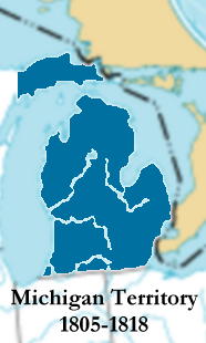
Michigan-territory-1805-1818.png - Wars

Michigan-territory-1834-blue.png - Wars
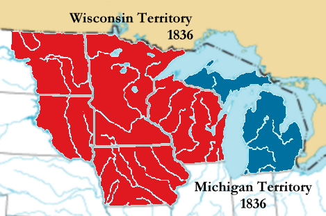
Michigan-territory-1836.png - Thatoneguy89
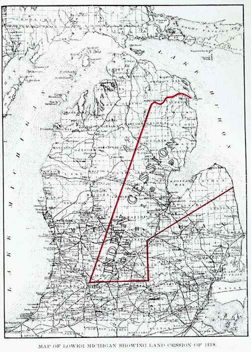
Saginaw-cession.jpg - File Upload Bot (Magnus Manske)

Michiganterritory1834.jpg - File Upload Bot (Magnus Manske)

Phillips Corners Battlefield.jpg - Nyttend

140 of 'The history of Detroit and Michigan or, the metropolis illustrated, etc' (11091027343).jpg - Artix Kreiger 2

EB9 United States - historical maps (top).jpg - Bob Burkhardt
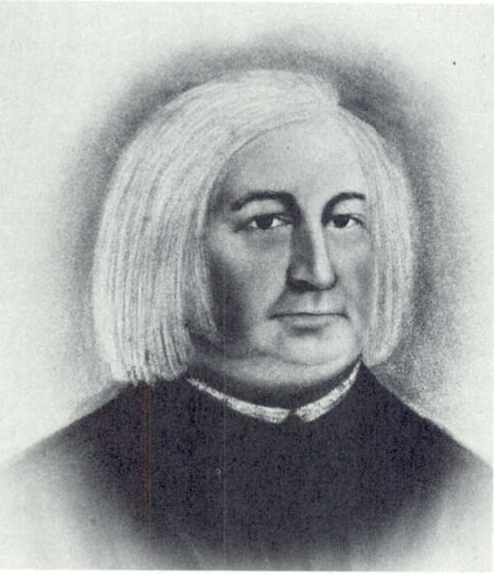
John Lawe of Green Bay.png - Orangemike

Map of the Indian Country including parts of Michigan Territory, Illinois, Ohio, and Indiana as well as Lake Michigan - DPLA - d3074ec52db3458476c7aca4a0cb9560.jpg - DPLA bot
❮
❯


