Wikimedi'Òc
Modes d'emploi

Cet album fait partie des albums


1747 Ruyter Map of Florida, Mexico and the West Indies - Geographicus - PortoBello-ratelband-1747.jpg - BotMultichillT

Indiana Indian treaties.jpg - Charles Edward

Carte Nouvelle-france et 13 colonies en 1710.jpg - Parigot
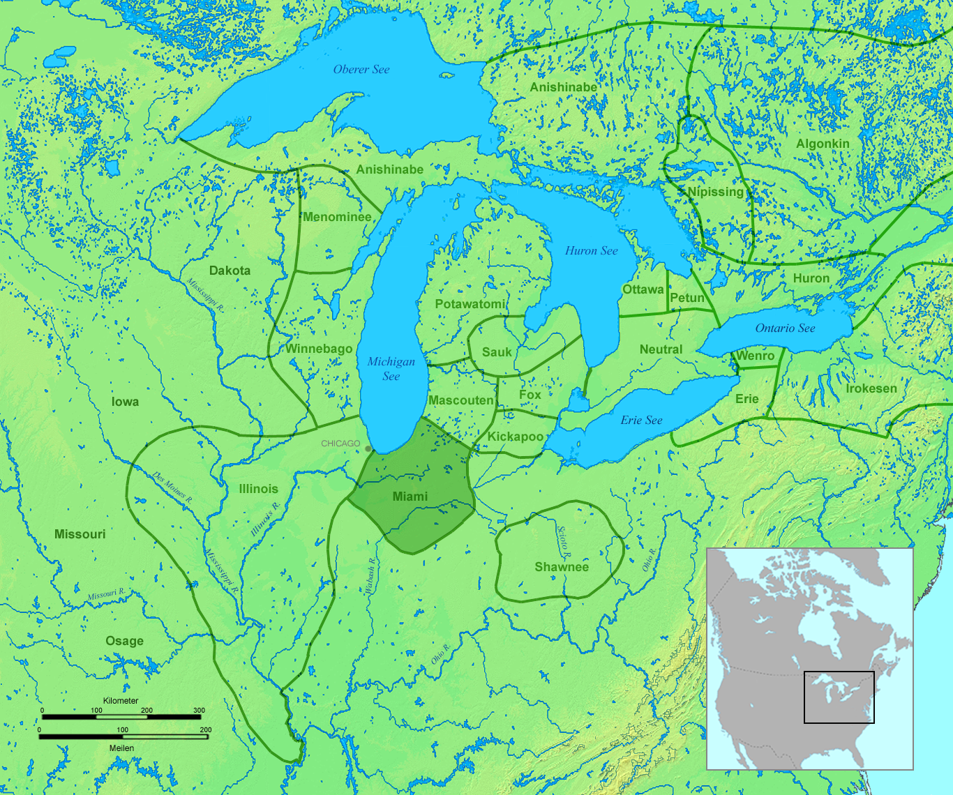
Miamipeople01.png - Nikater

History of Illinois, to accompany an historical map of the state (1883) (14578173667).jpg - Fæ

Indiana Historical Society publications (1919) (14587474718).jpg - SteinsplitterBot
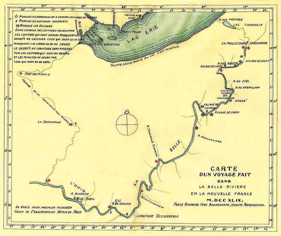
Carte d un voyage fait dans la Belle Riviere en la Nouvelle France M.DCC XLIX. Par le Reverend Pere Bonnecamps Jesuite Mathematicien.jpg - Jeangagnon

Piankashaw01.png - Nikater

109 of 'History of Illinois, to accompany an historical map of the state. (With the map.)' (11161630183).jpg - Artix Kreiger 2
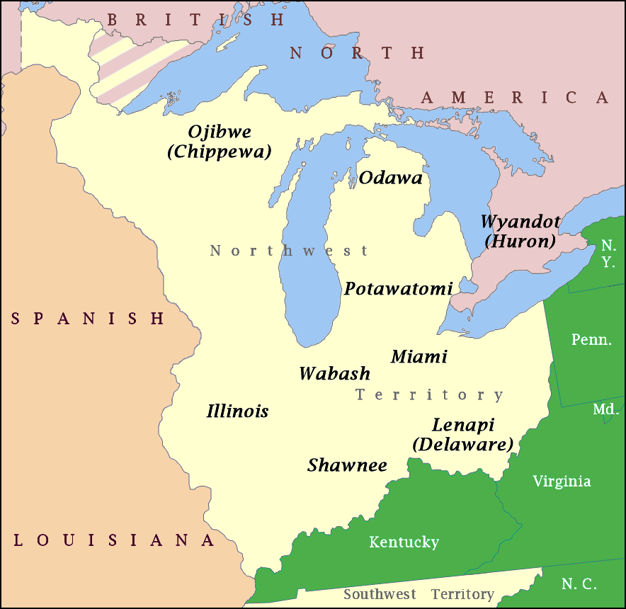
NW Native Tribes, 1792.png - Hohum

Glaize.png - Kevin1776