Wikimedi'Òc
Modes d'emploi

Cet album fait partie des albums
Cet album photos contient les sous-albums suivants :


Stanner station, New Radnor branch (geograph 2497150).jpg - Lamberhurst

Spring green leaves by the Clywedog Dam - geograph.org.uk - 2418149.jpg - GeographBot

Hillside above Llyn Clywedog - geograph.org.uk - 2434750.jpg - GeographBot
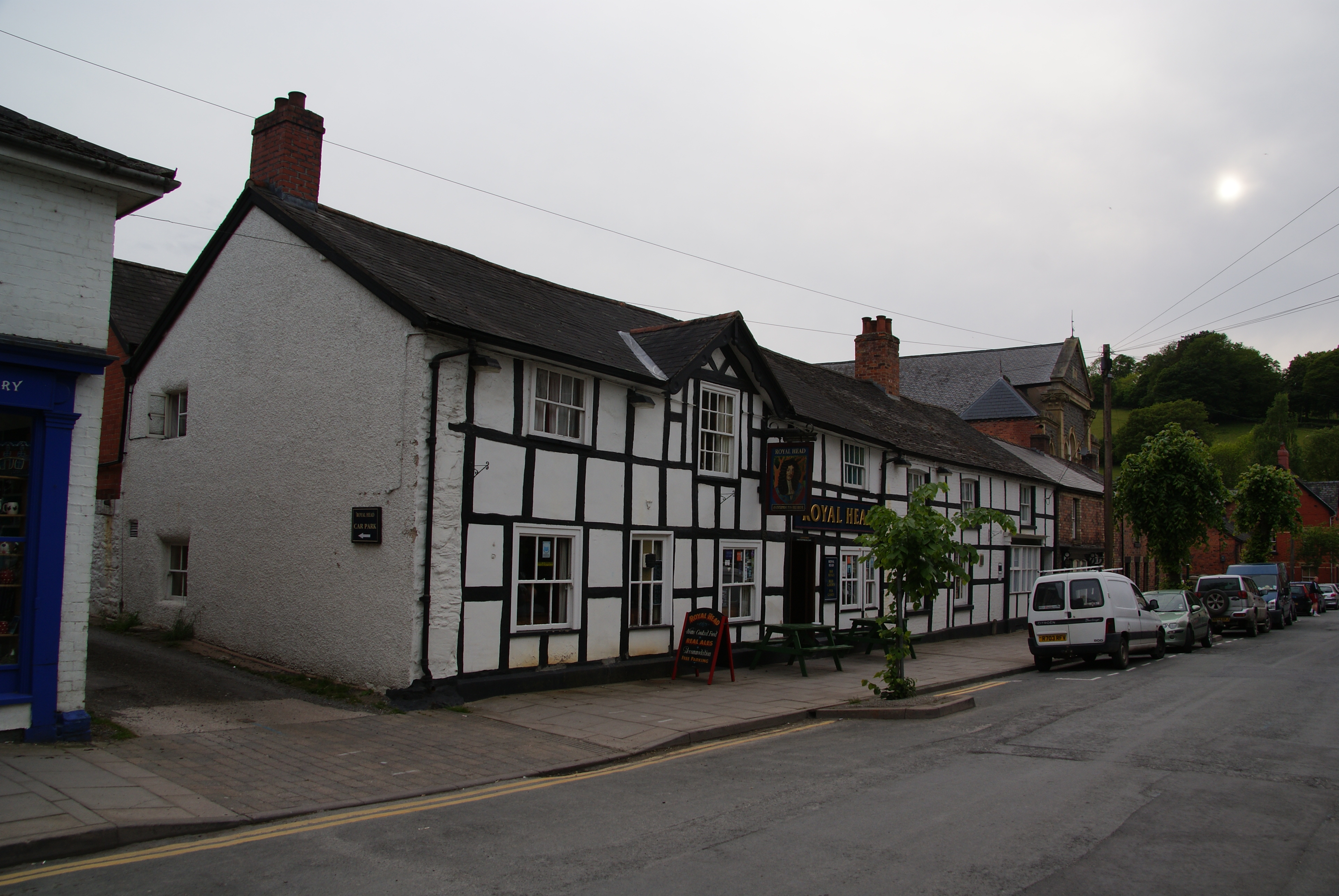
The Royal Head, Llanidloes - geograph.org.uk - 2434764.jpg - GeographBot

Rickety gate near Felindre - geograph.org.uk - 2434890.jpg - GeographBot

Minor road heading for Tylwch - geograph.org.uk - 2435555.jpg - GeographBot

Fields in the Nant Cae-garw valley - geograph.org.uk - 2435562.jpg - GeographBot

Fields by the Nant Cae-garw - geograph.org.uk - 2435567.jpg - GeographBot

Ffordd-las fawr farmstead in Mynydd Du Forest - geograph.org.uk - 2436123.jpg - GeographBot

Trig point on Bryn y Fan - geograph.org.uk - 2436175.jpg - GeographBot

Ffordd-las fawr farmstead in Mynydd Du Forest - geograph.org.uk - 2436211.jpg - GeographBot

The south west side of Bryn y Fan - geograph.org.uk - 2436215.jpg - GeographBot

Bryn y Fan - geograph.org.uk - 2469124.jpg - GeographBot

The Star Inn, Dylife - geograph.org.uk - 2470741.jpg - GeographBot

B4601 approaches central Brecon - geograph.org.uk - 2476250.jpg - GeographBot

Elan Suspension Bridge - geograph.org.uk - 2483079.jpg - GeographBot

Afon Elan, Elan village - geograph.org.uk - 2487241.jpg - GeographBot

Elan village school - geograph.org.uk - 2487377.jpg - GeographBot

Bwlch War Memorial - geograph.org.uk - 2742735.jpg - GeographBot

Waterfall on the Afon Claerwen - Elan Valley - geograph.org.uk - 2976497.jpg - GeographBot

The Radnorshire Arms, Presteigne (geograph 2469033).jpg - File Upload Bot (Magnus Manske)

Elan Valley - panoramio (28).jpg - Panoramio upload bot

Elan Valley Visitor Centre - panoramio.jpg - Panoramio upload bot