Wikimedi'Òc
Modes d'emploi

Cet album fait partie des albums


Carnoustie Championship Course.jpg - Bjh21
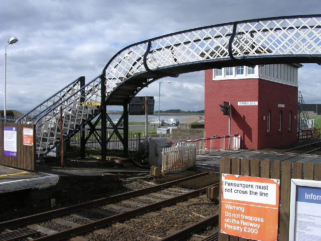
Carnoustie railway station 1.jpg - File Upload Bot (Edward)

East Denside farm - geograph.org.uk - 9995.jpg - GeographBot

Gagie Smallholdings from Bucklerheads - geograph.org.uk - 9993.jpg - GeographBot

Courting pheasants on farmland near Duntrune^ - geograph.org.uk - 12189.jpg - GeographBot

East Balmirmer from the A92 - geograph.org.uk - 13703.jpg - GeographBot

East Scryne farm near East Haven - geograph.org.uk - 13706.jpg - GeographBot

Monifieth beach - geograph.org.uk - 9696.jpg - GeographBot

Farm track to Muirhead - geograph.org.uk - 11461.jpg - GeographBot

Newton of Affleck farm - geograph.org.uk - 9996.jpg - GeographBot

Farmland near Craigmill - geograph.org.uk - 13715.jpg - GeographBot

Farmland near Husbandtown - geograph.org.uk - 14114.jpg - GeographBot

Farmland near West Bankhead - geograph.org.uk - 14155.jpg - GeographBot

Farmland north of Bucklerheads - geograph.org.uk - 14212.jpg - GeographBot

Farmland south of Dodd farm - geograph.org.uk - 14165.jpg - GeographBot

Oathlaw from the A90 - geograph.org.uk - 8389.jpg - GeographBot
Harecairn transmitter from East Bankhead - geograph.org.uk - 14130.jpg - GeographBot

Ridges and Furrows near Brechin - geograph.org.uk - 8395.jpg - GeographBot

Pylons, West Denside - geograph.org.uk - 16809.jpg - GeographBot

Ridges and furrows near Wellbank - geograph.org.uk - 14230.jpg - GeographBot

South Happas from the summit of Carrot Hill - geograph.org.uk - 14145.jpg - GeographBot

The beach at East Haven - geograph.org.uk - 13694.jpg - GeographBot

View from Ashbank, near Monifieth - geograph.org.uk - 11620.jpg - GeographBot

View to Old Downie farm - geograph.org.uk - 11615.jpg - GeographBot

West end of Laws Hill - geograph.org.uk - 10024.jpg - GeographBot

Arbroath Signal Tower 01.jpg - Ronniedeas