Wikimedi'Òc
Modes d'emploi

Cet album fait partie des albums
Cet album photos contient les sous-albums suivants :


Florida Redbelly Turtle KSC00pp0306.jpg - Ras67
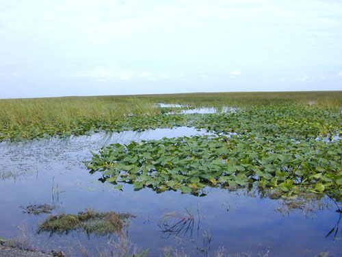
Florida freshwater marshes usgov image.jpg - Fred J

Nerodia clarkii.JPG - Ryulong

Marsh grass.jpg - FlickrLickr

Hammock1.jpg - MECU

Fire in the Everglades.jpg - Moni3

Gatorland -breeding marsh -Orlando -Florida-8Sept2008.jpg - File Upload Bot (Magnus Manske)

Everglades mangroves Buttonwood Canal.JPG - MathewTownsend

Everglades storm.JPG - MathewTownsend

Cypress (268953901).jpg - File Upload Bot (Magnus Manske)

Cypress roots (268953096).jpg - File Upload Bot (Magnus Manske)

Les Sylphides (8222912922).jpg - File Upload Bot (Magnus Manske)

Amelia Island Marshes.jpg - Yassie

Aerial Ignition Loxahatchee (8576794209).jpg - File Upload Bot (Magnus Manske)

Aerial of Chassahowitzka National Wildlife Refuge (7597338986).jpg - File Upload Bot (Magnus Manske)

Controlled burn in the salt marsh at St Marks NWR (7439799012).jpg - File Upload Bot (Magnus Manske)

Gfp-florida-everglades-national-park-marshes.jpg - Slick-o-bot

Gfp-florida-everglades-national-park-across-the-marsh.jpg - Slick-o-bot
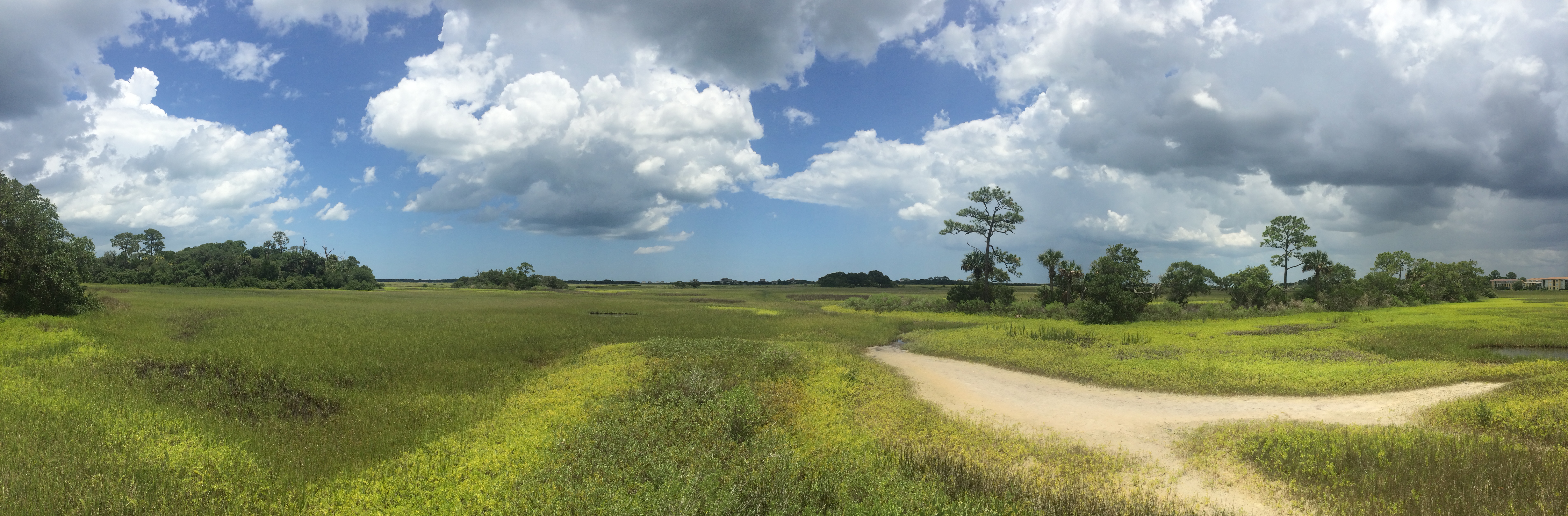
Fort Mose Panorama.JPG - Waters.Justin

St Marks NWR - Purify Bay Overlook.jpg - The Bushranger

Mashes Sands Park restroom trailer.jpg - The Bushranger

Boat-tailed Grackle at Mashes Sands Park.jpg - The Bushranger

St Marks NWR - Purify Bay and sailboat.jpg - The Bushranger

Ruined dock at Woolley Park.jpg - The Bushranger
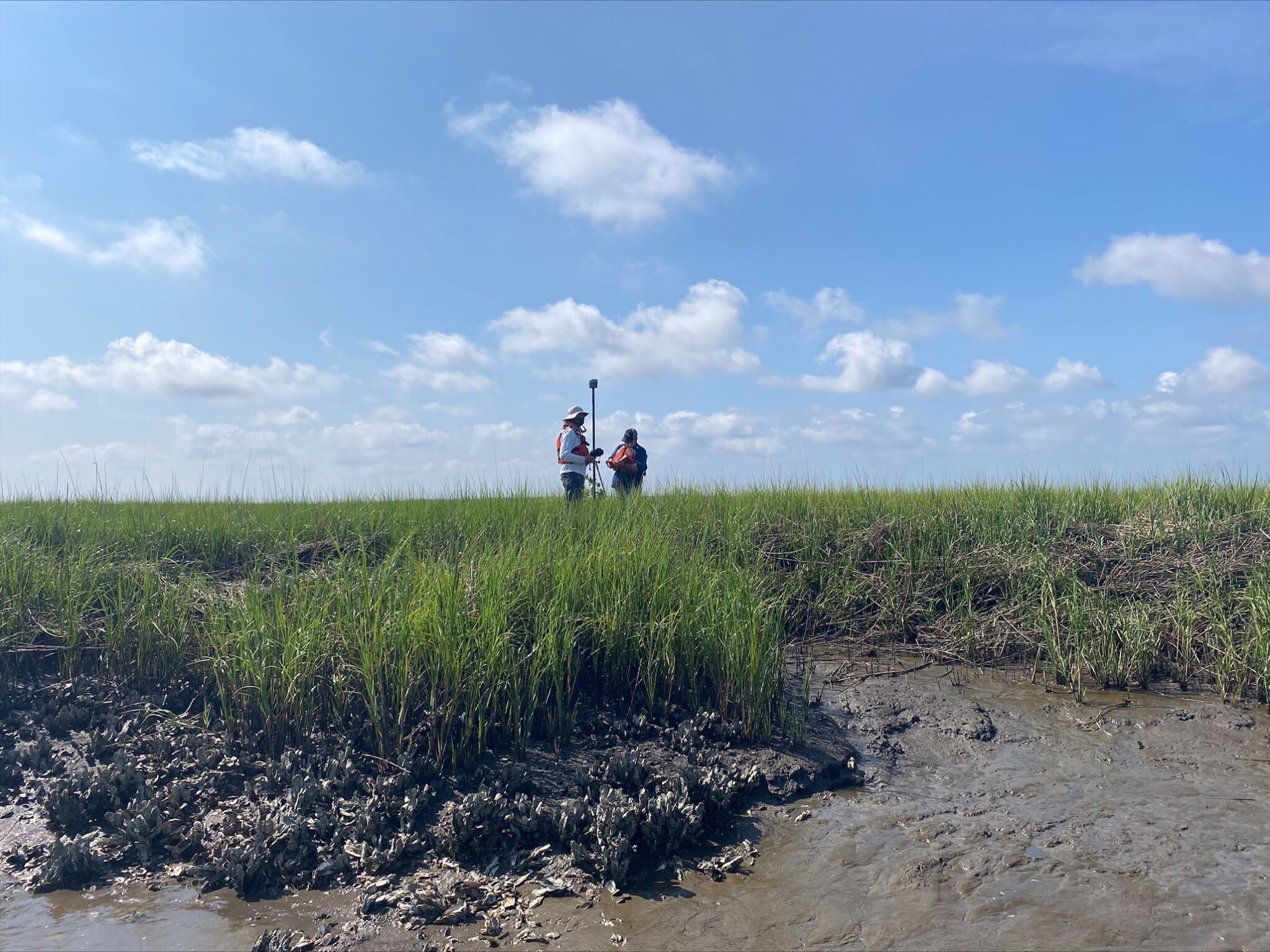
Science in the Salt Marsh (d23bd2f3-0699-42cc-b355-f917d8d0585f).jpg - BMacZeroBot

The trails have several beautiful marsh views. (f889135d-ebfd-4561-a12e-8006bae5f567).jpg - BMacZeroBot

Dawn at Cedar Point Horeshoe Creek. (f7c6dfcc-5c12-4269-8b80-d008227dcac1).jpg - BMacZeroBot

Salt marsh is the dominate habitat in the park. (45f6ded0-a9bb-4605-84df-15a5f6777595).jpg - BMacZeroBot

Woolley Park Hurricane Pole.jpg - The Bushranger

Bottoms Road Morning Storms 2.jpg - The Bushranger

Bottoms Road middle south looking north.jpg - The Bushranger

Bottoms Road middle looking west.jpg - The Bushranger

Bottoms Road middle north looking east.jpg - The Bushranger

Bottoms Road south looking north.jpg - The Bushranger

San Marcos de Apalache Historic State Park access road flooding March 31 2022.jpg - The Bushranger

Dickerson Bay from the end of Walker Drive.jpg - The Bushranger

Marsh as seen from Dark Island.jpg - The Bushranger

Doyle Creek Landing boat ramp ruins.jpg - The Bushranger

Taylor Hickory Mound Impoundment.jpg - The Bushranger

Shired Island parking lot.jpg - The Bushranger

Cash Creek diving tree.jpg - The Bushranger

Cash Creek Landing picnic area.jpg - The Bushranger

Cash Creek Landing restrooms.jpg - The Bushranger

Cash Creek Landing creek and pines.jpg - The Bushranger

Cash Creek Landing view of Cash Creek.jpg - The Bushranger

Cash Creek Landing handicapped parking.jpg - The Bushranger

Cash Creek Landing.jpg - The Bushranger

Scipio Creek Boat Basin marina shelter.jpg - The Bushranger

Mashes Sands road.jpg - The Bushranger

SMNWR shore east of lighthouse.jpg - The Bushranger

Bald Point State Park marsh.jpg - The Bushranger

Woolley Park benches.jpg - The Bushranger

Fishing dock at Woolley Park.jpg - The Bushranger

Woolley Park.jpg - The Bushranger

Bottoms Road Tstorms to East.jpg - The Bushranger

Bottoms Road Sunset Clouds to west.jpg - The Bushranger

Bottoms Road crepuscular rays.jpg - The Bushranger

Canoes at Purify Bay.jpg - The Bushranger

Purify Bay marsh.jpg - The Bushranger