
Wikimedi'Òc
Modes d'emploi


Cet album fait partie des albums


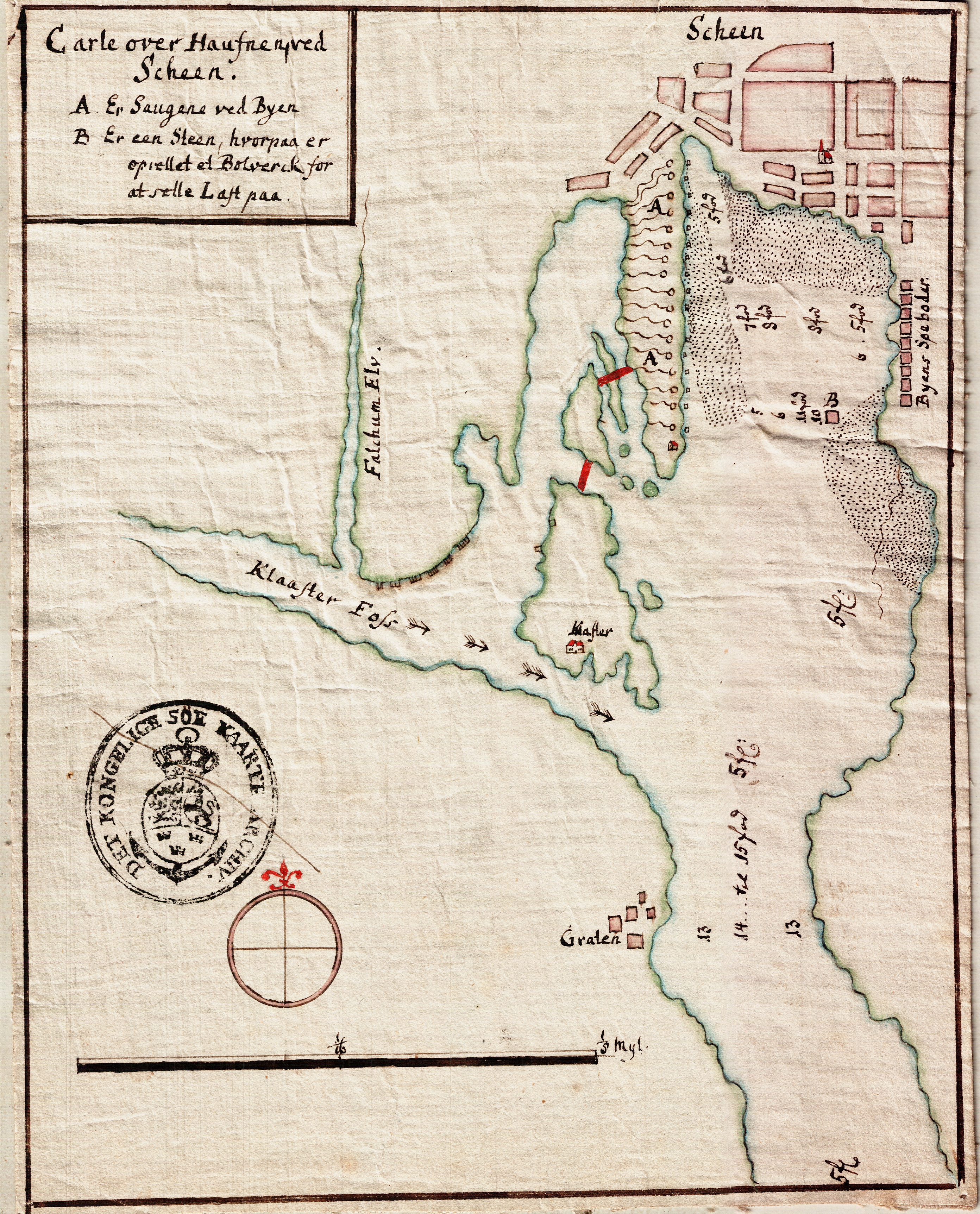
Sjøkart over Skien havn fra ukjent årstall.png - Kcita

Sjøkart over Tønsberg havn fra ukjent årstall.png - Kcita

Sjøkart over utseilingen fra Tønsberg fra ukjent årstall.png - Kcita

Sjøkart over havområdet mellom Tønsberg og Nøtterøy fra ukjent årstall.png - Kcita

Kart over Oslofjorden og Skagerak.png - Kcita

..Loen Elv og Hovie Bæk. - no-nb krt 00858.jpg - Nasjonalbiblioteket-bot

Kart over Vest-Finmarken - no-nb krt 00513.jpg - SteinsplitterBot

Odderöen, Christiansand - no-nb krt 00870.jpg - Lomita

Odderöen, Christiansand - no-nb krt 00871.jpg - Lomita
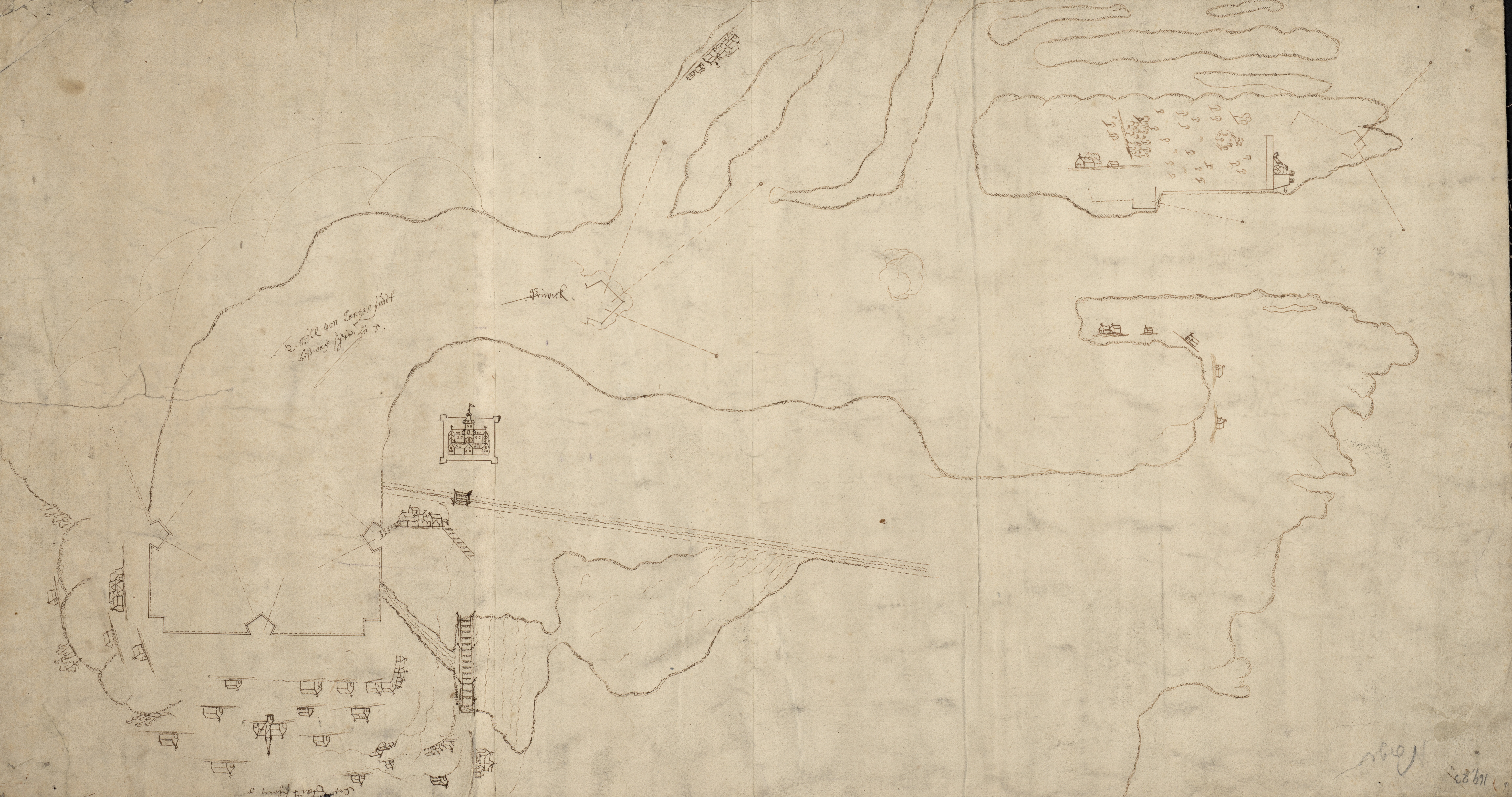
Kroki over omegnen af Skien - no-nb krt 00884.jpg - Lomita

Kort Over Christiansand og Flæckerøe Havn - no-nb krt 00875.jpg - Lomita

Christiansholms Fæstning med Retranchementet - no-nb krt 00876.jpg - Lomita

Atlas - no-nb krt 00758.jpg - Lomita

Atlas - no-nb krt 00612.jpg - Lomita

Трехлинейка.jpg - Igor Kovalenko A

Skyline Project area land use map - DPLA - e6d686a6f308b63078ed794c5c5ebc37.jpg - DPLA bot

Denver, Colorado - DPLA - af0960215c2f4b3f723b26ee90def205.jpg - DPLA bot

General locality map (northern Colorado) - DPLA - d7bfa2bac80a6218027abac06e4bbea2.jpg - DPLA bot

Denver, Colorado - DPLA - f3741ef4773d302b9619c43bda7aac1b.jpg - DPLA bot

Map of northwestern Colorado - DPLA - 794486fb3a6b406d6cc9cda2ae1089a0.jpg - DPLA bot

Villa Park Map - DPLA - 649bc9aa2905dd36fa5e0401f4902479.jpg - DPLA bot

Distribution and concentration of persons with Spanish surnames - Denver metropolitan study area, 1960 - DPLA - 9106f49f27d9bbb13edfcb7ff234ad03.jpg - DPLA bot

Photograph of an illustrated relief map of Colorado Springs & Cripple Creek District Railway line - DPLA - 1de20d444b96d6d697731fe8ff53b16d.jpg - DPLA bot
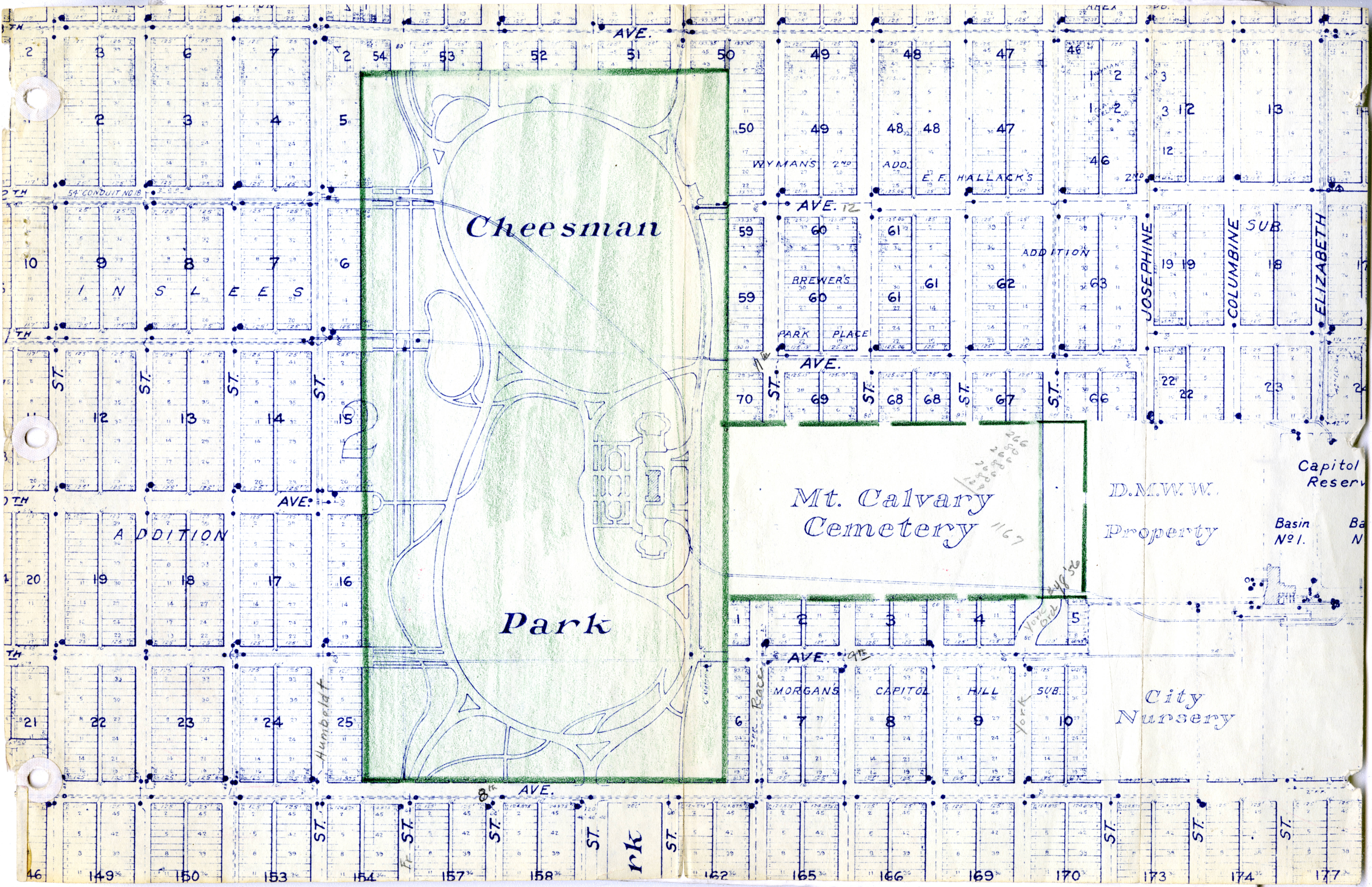
Map of Cheesman Park and Mt. Calvary Cemetery - DPLA - 116461882262f6e96c7df0b624af5cdc.jpg - DPLA bot

Mining tunnel map for Gem Mine, Clear Creek Co - DPLA - 5b8c78682991d443d79d0f75ee7b676d.jpg - DPLA bot

Downington, Denver, Colo. - DPLA - 459256d82c578fb3e33dff7e6bfd8bc5.jpg - DPLA bot
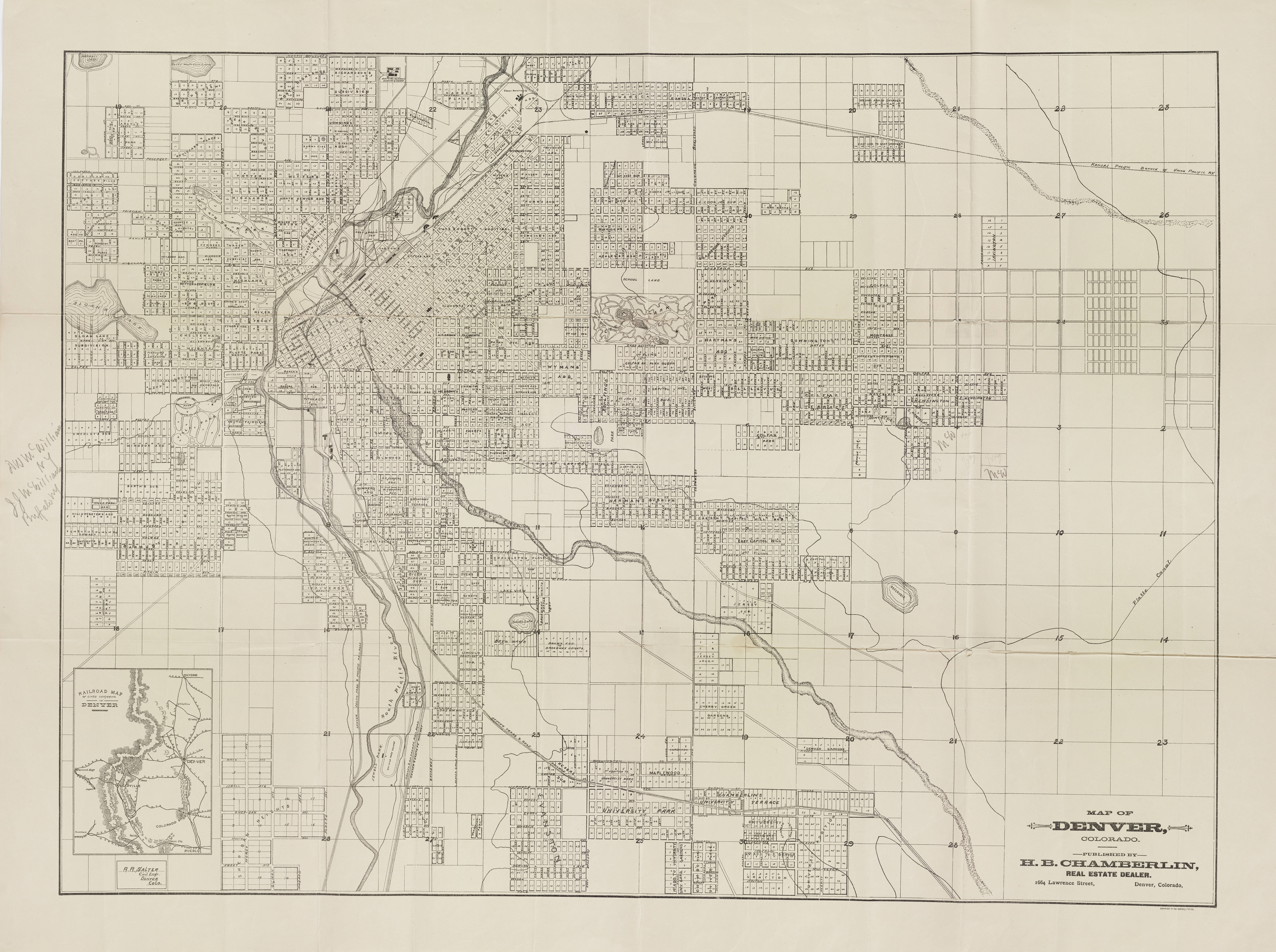
Map of Denver, Colorado - DPLA - 7e1a0c25a40871e91363206ef075b197.jpg - DPLA bot

Map of the Lamar Land District - DPLA - 67e5ef8177a8420cf5acd4b7b9d3b249.jpg - DPLA bot

Neighborhoods Map of City and County of Denver - DPLA - 801b633fa5d3d454b323c6607e871cdf.jpg - DPLA bot
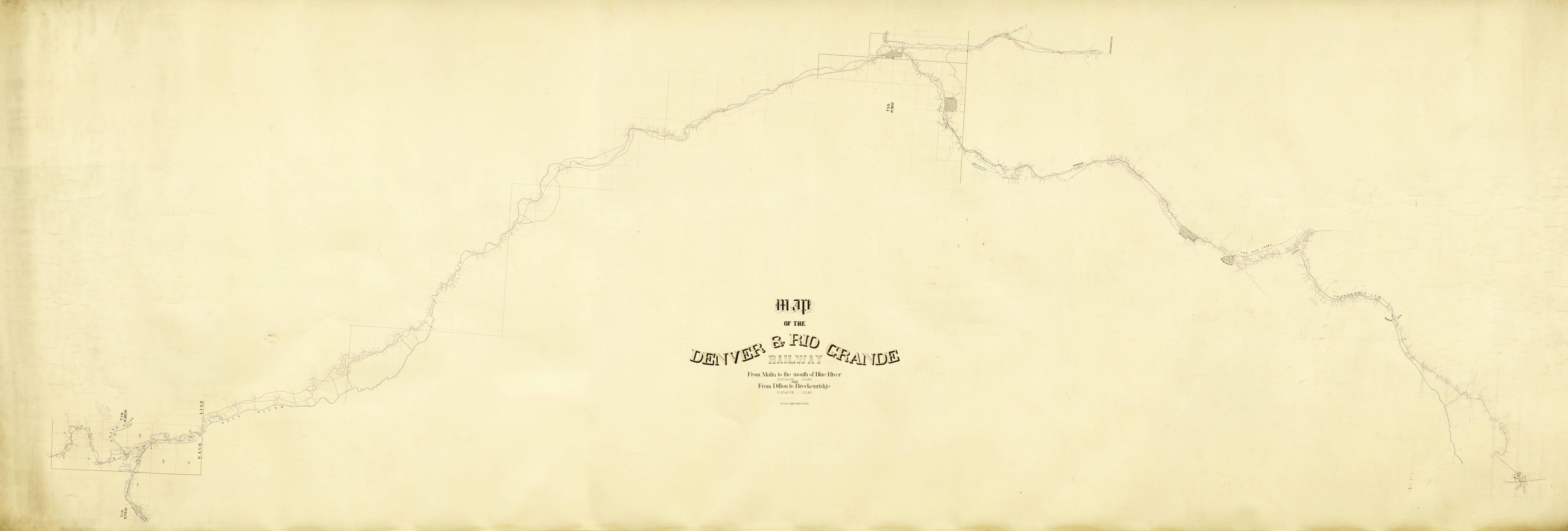
Map of the Denver & Rio Grande Railway, from Malta to the mouth of Blue River, and from Dillon to Breckenridge - DPLA - d52b0606e825e5acc12e12dca278175f.jpg - DPLA bot

Downington, Denver, Colo. - DPLA - 0bf54a7c4a1c3f32d5141e5ece2eac51.jpg - DPLA bot

U.S. Reclamation Service Uncompahgre Valley Map - DPLA - 3d9aa9a31f7ac53d597b7bef7f5f06d3.jpg - DPLA bot

Town Crystal, Gunnison County Colo - DPLA - 8d056383985506171741782857141825.jpg - DPLA bot

Mining claims of Leadville Lake County Colo. - DPLA - ef57e69eba534660a0931b9eff37a67b.jpg - DPLA bot

Washington County Colorado - DPLA - f1577e562f367f1a2603bd505568354b.jpg - DPLA bot

Distribution and concentration of non-white population - Denver metropolitan study area, 1960 - DPLA - ea0028734cebf570432df7c1d39c1e29.jpg - DPLA bot

Thoroughfares of Denver and surrounding communities - DPLA - 36810d5e282fa666d43d2c3b05b5ea1a.jpg - DPLA bot
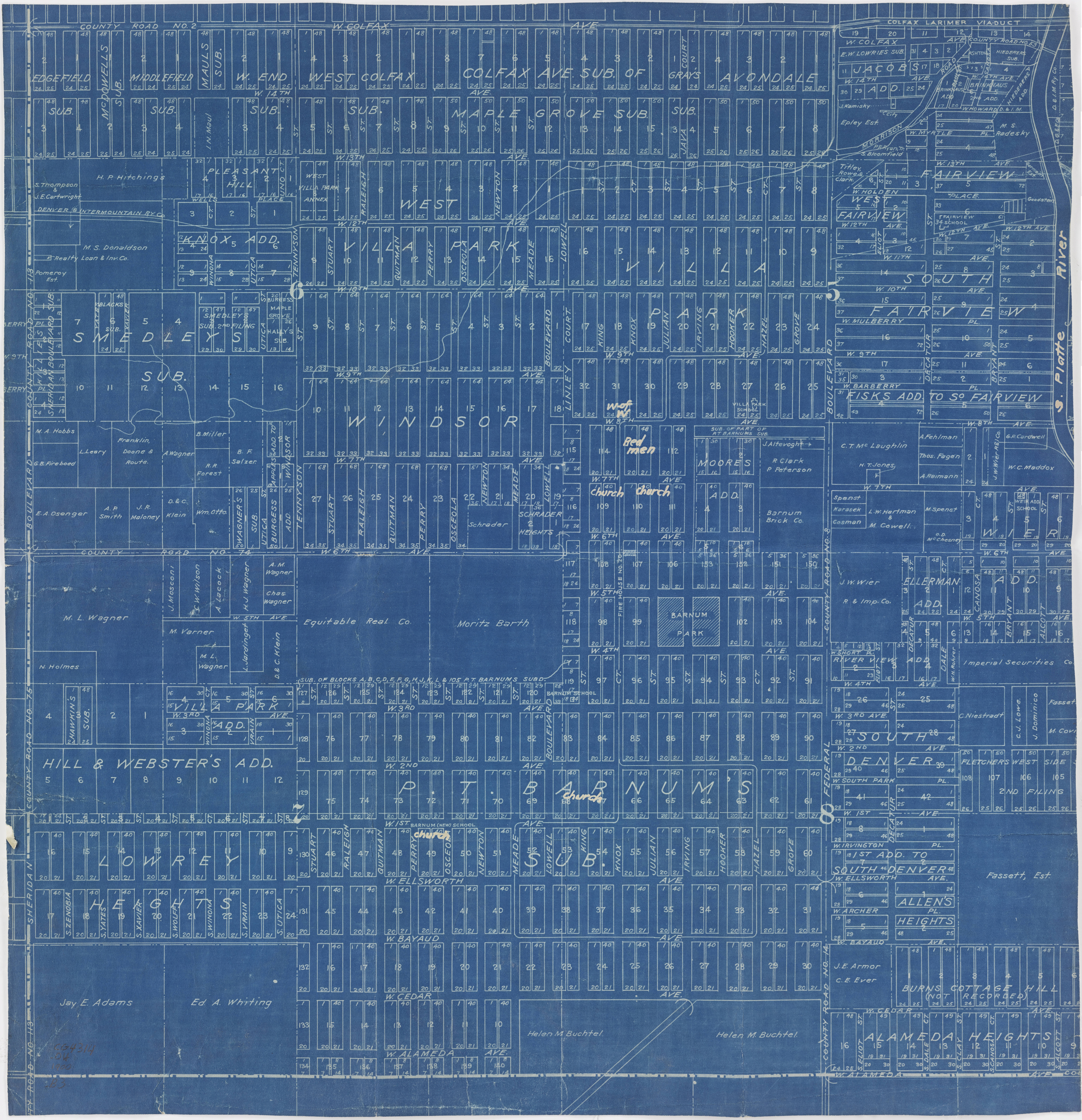
Plat of Barnum - DPLA - 8a432735b6fa9dcbfe14c8c55c75e2ce.jpg - DPLA bot

Map showing the gold lodes on Silver Mountain, Union District, Clear Creek, Co., Colorado Ter. - DPLA - 1eee16106ea1b3d8a95af572b121871f.jpg - DPLA bot

Villa Park Map - DPLA - 700c7d16dde552d88b7dcfddc58fd3fb.jpg - DPLA bot