Wikimedi'Òc
Modes d'emploi

Cet album fait partie des albums
Cet album photos contient les sous-albums suivants :


London 1300 Historical Atlas William R Shepherd (died 1934).PNG - Siebrand

LondonSavoy1300 Map.png - Evening.star

City of London civil parishes Map 1870.png - Doc77can

City of London Ward Map, 1870.svg - Doc77can

Lübeck, Hansemuseum 2015e.jpg - Holger.Ellgaard
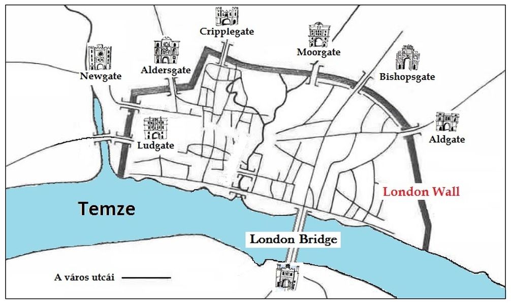
A London Wall kapui.jpg - Bartholomeus Thoth

London Bridge attack map zh-cn.png - Bxxiaolin

City of London Bomb Damage Map.jpg - Philafrenzy

10 of 'A History of London ... With maps and illustrations ... Second edition, revised and enlarged' (11172423914).jpg - Artix Kreiger 2

The city of London in the late middle ages.png - Fortuna imperatrix mundi

Noble Street and surrounding area Bombing, mapped in 1945.png - Jamzze

Jewish Cemetery on modern mapping of the Barbican Estate.jpg - Liebelsch

Medieval London Jewish cemetery.jpg - Liebelsch

Medieval Jewish Cemetery on modern mapping of the Barbican Estate.jpg - Liebelsch