Wikimedi'Òc
Modes d'emploi

Cet album fait partie des albums


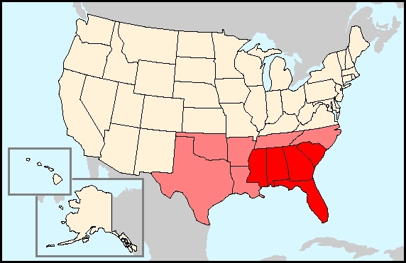
US regions-Southeast2.jpg - Mattes

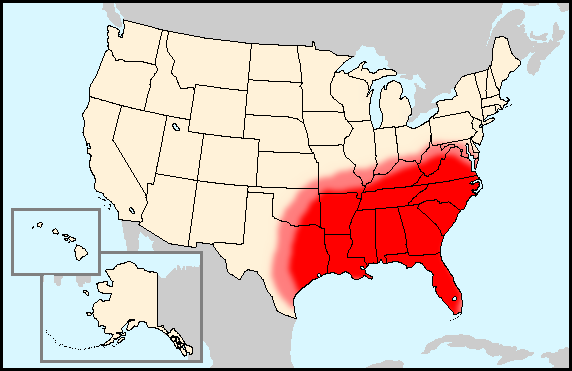
Upland-South-map.jpg - Ras67
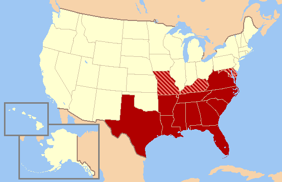
Southern United States Civil War map.png - Ras67

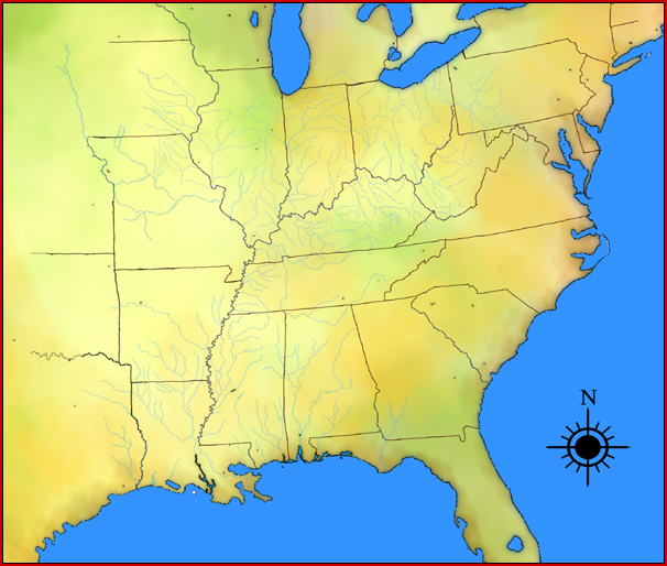
US map-East Coast.png - Nikopoley

Trails of Tears en.png - Nikater

Nearctic-Southeastern United States.svg - CarolSpears

Nearctic-Ecozone-Southeastern United States.svg - CarolSpears

Black Drink map HRoe 2008.jpg - Heironymous Rowe

US East Temples Outline Map.svg - Shereth

Map of the United States of America 1845.jpg - Geo Swan
Southeastern states map HRoe 2010.jpg - Heironymous Rowe

US map-South East.png - DownTheDrainWeGo

US map-East Coast.svg - Southronite

LLWS Southeast.svg - Renschi81

South Carolina regions map.png - MGA73bot2

South Carolina regions map.svg - MGA73bot2
SpottedSunfishRangeCloseUp.jpg - Cjarvis42

USA Southeast.PNG - Mak888

South Central Region (WFTDA).png - Kingofthedead

A new and general map of the southern dominions belonging to the United States of America (NYPL b20643864-5452687).jpg - Fæ
Southern United States Map.PNG - FastilyClone

USA Südosten-Cusabo.png - Nikater

USA Südosten-Hitchiti.png - Nikater

USA Südosten-Apalachee.png - Nikater

USA Südosten-Timucua.png - Nikater

USA Südosten-Tocobaga.png - Nikater

USA Südosten-Calusa.png - Nikater

USA Südosten-Tekesta.png - Nikater

USA Südosten-Ais.png - Nikater

USA Südosten-Yuchi.png - Nikater

USA Südosten-Chatot.png - Nikater

USA Südosten-Apalachicola.png - Nikater
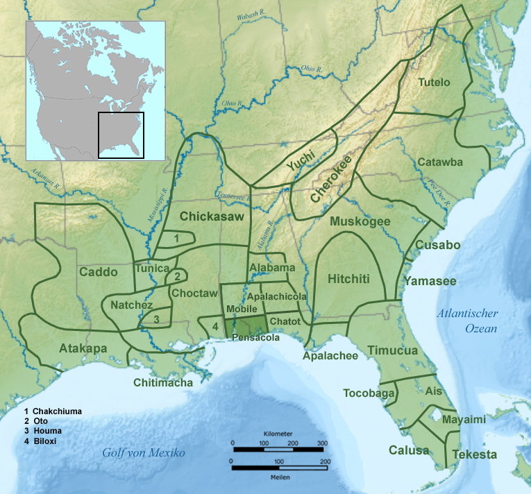
USA Südosten-Pensacola.png - Nikater

USA Südosten-Mobile.png - Nikater

USA Südosten-Tohome.png - Nikater

USA Südosten-Biloxi.png - Nikater

USA Südosten-Houma.png - Stv26

USA Südosten-Chitimacha.png - Nikater
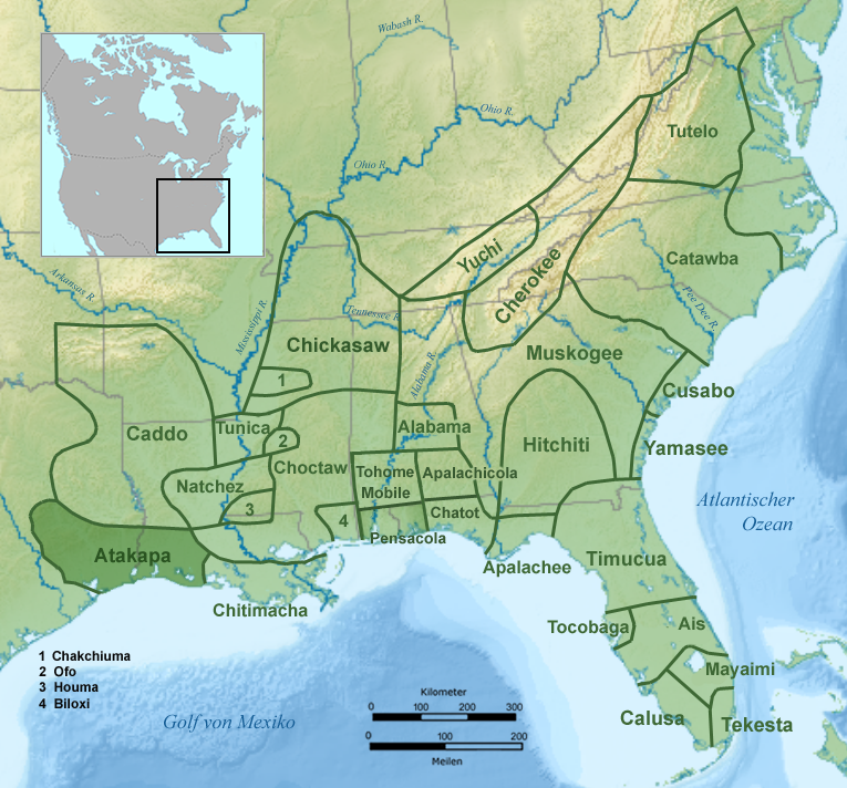
USA Südosten-Atakapa.png - Nikater

USA Südosten-Tunica.png - Nikater

Land resource areas, South Technical Service Center area LOC 92682926.jpg - Fæ

Airways and Landing Fields - NARA - 140696172.jpg - US National Archives bot
Major forest types in the South (IA CAT10819257).pdf - Faebot

Southern Conference Map version 1.1revised03092021.png - Zastoi
USA Southeastern.png - Dmm1169

Hazard's Rail Road & Military Map of the Southern States - DPLA - d3885b7ba2cd6bc821807f2c0b3974ed.jpg - DPLA bot

Hazard's Rail Road and Military Map of the Southern States - DPLA - 502e22006886555199be80a4f4ae6ed5.jpg - DPLA bot

Southeast USA.png - Dmm1169

USA Southeastern Lower States.png - UU Archivist

Geographically Correct indexed Township Map of Florida middle and southern Georgia and southern South Carolina showing complete system of Florida Central and Peninsular R.R. - btv1b532711515 (2 of 4).jpg - Gzen92Bot

Land Resource Regions and Major Land Resource Areas of the Southern U.S. (1969).jpg - Muell132

Map of Physical divisions of the Southern U.S. (1969).jpg - Muell132

Map of Soils of the South- Orders, Suborders and Great Groups (1969).jpg - Muell132

Map of major forest types of the Southeastern United States (1969).jpg - Muell132

Map of Land Utilization Projects in the Southeast Region (1939).jpg - Muell132

County map Komarekiona.png - Sbbarker19