Wikimedi'Òc
Modes d'emploi

Cet album fait partie des albums
Cet album photos contient les sous-albums suivants :


Satellite image of Marshall Islands in March 1999.jpg - Hautala

Namorik Atoll - Map.jpg - Pjminton
MH -map A.png - Hobe

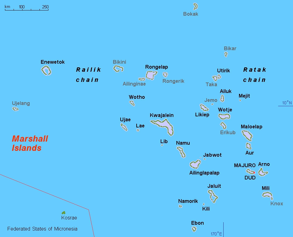
Map of the Marshall Islands no text.png - Obersachse

MH -map A-de.png - NordNordWest

Karte aus Zweigen - Marshallinseln.JPG - Mattes

Taongi Atoll - EVS Precision Map (1-110,000).jpg - Cmholm

Bikar Atoll - EVS Precision Map (1-75,000).jpg - Flickr upload bot

Operation K Map.jpg - 293.xx.xxx.xx

Map-Marshall Islands - Macedonian.png - MacedonianBoy

Ebon Atoll Map.jpg - Telim tor

Taka Atoll - EVS Precision Map (1-100,000).jpg - Cmholm

Utirik Atoll - EVS Precision Map (1-100,000).jpg - Flickr upload bot

Ailuk-3253431412 3aa0759634 o.jpg - Ratzer

Bikini 2244493428 13643c6505 o.jpg - NordNordWest

Bikini-map-He.jpg - Ori~

MH -map A-HE.png - Ori~

Mejit Map 3235985149 d122504847 o.jpg - Ratzer

MH -map A-be.png - Frantishak

Paris musee branly carte navigation iles marshall.JPG - Velvet

Rm-map.png - Tmwets
Flag map of the Marshall Islands.png - Fabriziodg91

Marshall Islands map.png - Szczureq
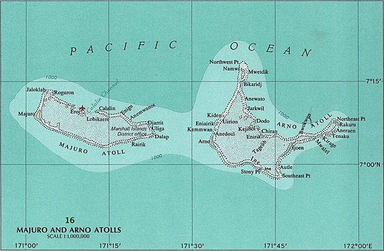
Majuro and Arno Atolls.jpg - Mauerquadrant

Bikini Atoll 2.jpg - Mauerquadrant

Jaluit Atoll.jpg - Mauerquadrant

Majuro and Arno Atolls 2.jpg - Mauerquadrant

Carte - Wotho.svg - Bastenbas

Marshalli saared.png - Epp

Marshall Islands Population Density, 2000 (5457623090).jpg - Ser Amantio di Nicolao

Marshall Islands Population Density, 2000 (6171913463).jpg - Ser Amantio di Nicolao

Répartition population Îles Marshall.svg - Bastenbas

Population distribution Marshall Islands.svg - Bastenbas

Solde migratoire - Îles Marshall.svg - Bastenbas

Net migration - Marshall Islands.svg - Bastenbas

Pacific Ocean laea Oceanian countries map.jpg - Trecătorul răcit

Marshall-Islands GHI Solar-resource-map GlobalSolarAtlas World-Bank-Esmap-Solargis.png - SolarSoft

Marshall-Islands DNI Solar-resource-map GlobalSolarAtlas World-Bank-Esmap-Solargis.png - SolarSoft

Marshall-Islands PVOUT Photovoltaic-power-potential-map GlobalSolarAtlas World-Bank-Esmap-Solargis.png - SolarSoft
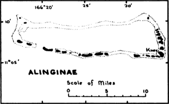
Map of Ailingnae Atoll.png - Zoozaz1

Local Traffic Regulations.png - Zoozaz1
Map of Ailuk Atoll.png - Zoozaz1

Map of Arno Atoll.png - Zoozaz1
Map of Bikar Atoll.png - Zoozaz1
Map of Bokaak Atoll.png - Zoozaz1

Map of Ebon Atoll.png - Zoozaz1

Map of Jabat Island and Ailinglaplap Atoll.png - Zoozaz1

Map of Jaluit Atoll.png - Zoozaz1
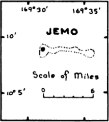
Map of Jemo Island.png - Zoozaz1
Map of Kili Island.png - Zoozaz1

Map of Kwajalein Atoll, Ujae Atoll, and Lae Atoll.png - Zoozaz1

Map of Likiep Atoll.png - Zoozaz1

Map of Majuro Atoll.png - Zoozaz1
Map of Lae Atoll.png - Zoozaz1

Map of Maleolap and Aur Atoll.png - Zoozaz1
Map of Mejit Island.png - Zoozaz1

Map of Mili Atoll.png - Zoozaz1
Map of Namdrik Atoll.png - Zoozaz1

Map of Namu Atoll and Lib Island.png - Zoozaz1

Map of Rongelap Atoll.png - Zoozaz1
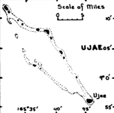
Map of Ujae Atoll.png - Zoozaz1

Map of Ujelang Atoll.png - Zoozaz1

Map of Utrik and Taka Atoll.png - Zoozaz1
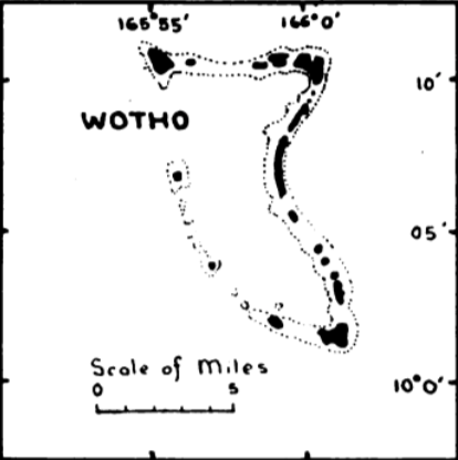
Map of Wotho Atoll.png - Zoozaz1

Map of Wotje and Erikub Atoll.png - Zoozaz1

Map of Rongerik Atoll.png - Zoozaz1
Map of Lib Island.png - Zoozaz1

Télécommunications - Îles Marshall.svg - Bastenbas

Marshallislandsmag22ops.jpg - Hilairenorman

PAT - Marshall Islands.gif - Babelia