Wikimedi'Òc
Modes d'emploi

Cet album fait partie des albums
Cet album photos contient les sous-albums suivants :


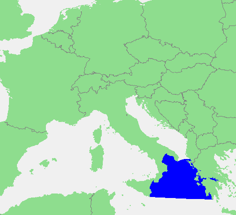
Ionian Sea map.png - Ras67

Gulf of Taranto map.png - Rhegion

AegeanIslands.png - Iktsokh
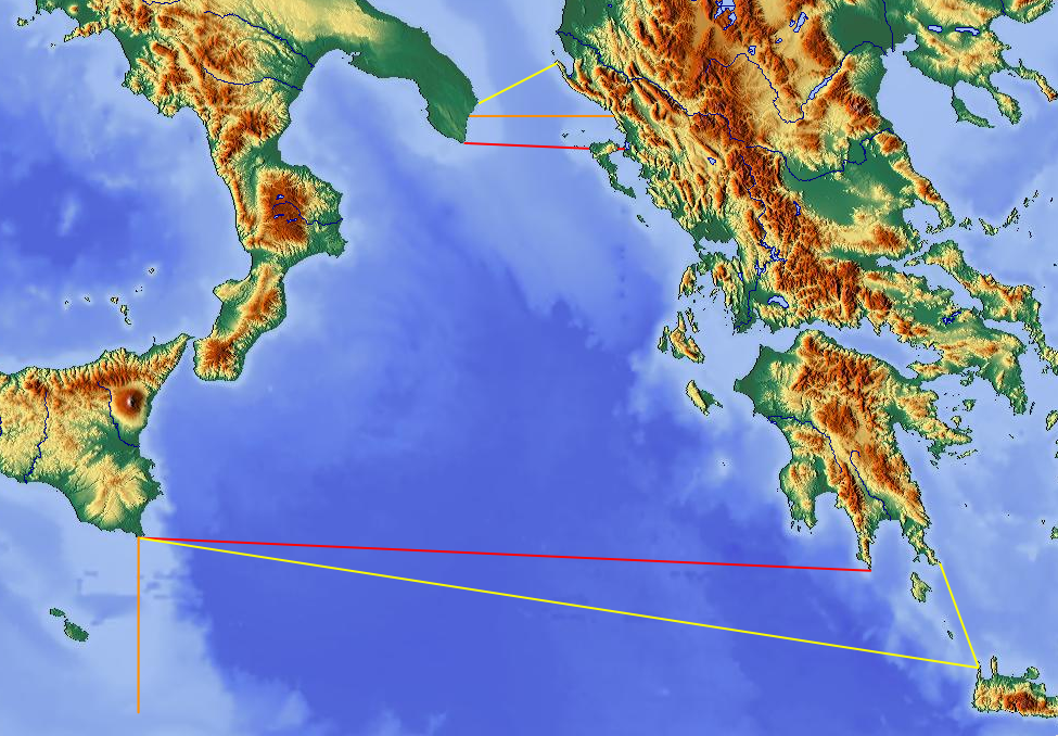
Matapan map.png - Ras67
Locatie Ionische Zee.PNG - Ciaurlec

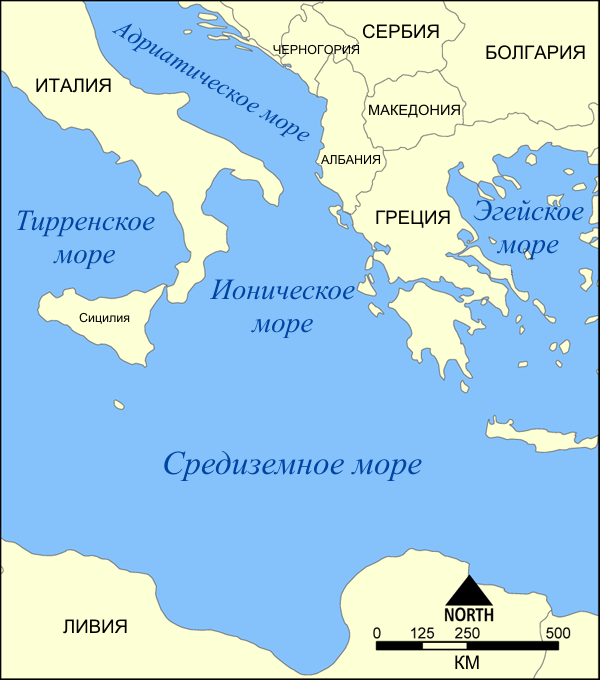
Mer Ionienne.png - Historicair

Ambrakian Gulf - Satellite Image Named - DE 01.jpg - Christaras A
Ionian Sea map-rus.png - Maqs

Echinades de.png - Pitichinaccio
Tilevoides de.png - Pitichinaccio

Messiniakes Inousses de.png - Pitichinaccio

Alkyonides de.png - Pitichinaccio

Ionian Sea map el.png - File Upload Bot (Magnus Manske)

Golfo de Tarento.svg - Rowanwindwhistler

Area SAR IT.svg - DaniDF1995

Echinades-el.svg - Pitichinaccio
Ionian Sea borders.png - Pitichinaccio

Gulf of Taranto map hr.svg - MaGa

Ionian Sea map hr.svg - MaGa

Ionian Sea map Urdu.png - Tahir mq

Отрантска Врата.svg - Bjankuloski06en

Ionian Sea map he.svg - Orias
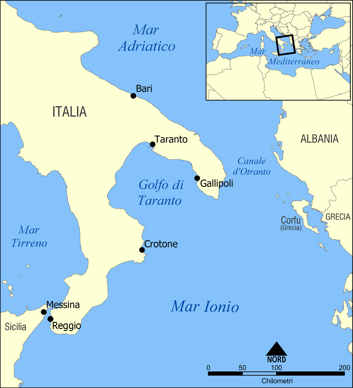
Gulf of Taranto map it.png - 92bari

Ionian Sea map it.png - 92bari

Euripus Strait map he.svg - רונאלדיניו המלך
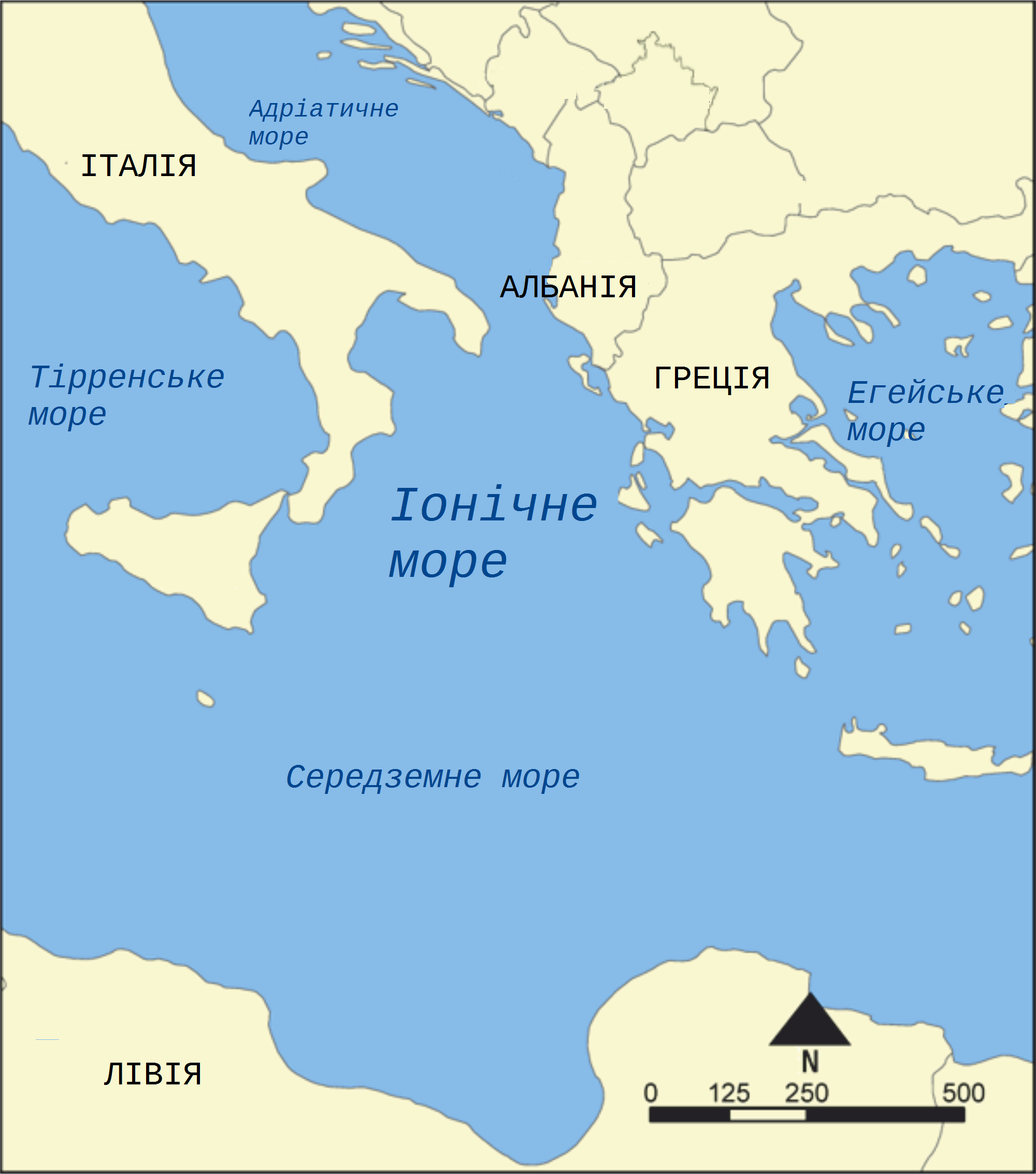
Ionian Sea map uk.png - Andrew J.Kurbiko

Mediterraneo centrale 300 a.C. - epoca di Agatocle.png - Stella

Ionian Sea map ku.png - Ghybu

Ionian Sea map ku.svg - Ghybu

Ionian Sea map-ar.png - باسم

Map of Otranto hungarian.png - Tobi

Echinades-nn.svg - TU-nor

Gulf of Taranto map hu.svg - Sepultura

Ionian Sea map hu.svg - Sepultura

Admiralty Chart No 2701 Gulf of Kotor to Corfu, Published 1878, New Edition 1973.jpg - Kognos