Wikimedi'Òc
Modes d'emploi

Cet album fait partie des albums
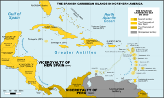


Spanish Caribbean Islands in the American Viceroyalties 1600.png - Giggette

2º Plano Geografico de la mayor parte de el Reyno de Goatemala (cropped).jpg - ANAGSPC

Central America - Cornelius van Wytfliet 1597.jpg - Kaldari

DeBry Map of Caribbean & Florida1594.jpg - Tektonson

Map of Guatemala - reduced from the survey in the archives of that country, 1826. LOC 2004629011.jpg - Fæ

Capitanía General de Guatemala ante Imperio Mexicano 1822.png - Juan Miguel

Provincias Capitanía General de Guatemala 1821.png - Juan Miguel

Capitanía General de Guatemala 1800.png - Juan Miguel

Gobernaciónes centroamericanas formaron Real Audiencia Guatemala 1542.png - Juan Miguel

Capitanía General de Guatemala 1812.png - Juan Miguel

Capitanía General de Guatemala 1780.png - Juan Miguel

Capitanía General de Guatemala 1650.png - Juan Miguel

Geographical, statistical and historical map of Central America.jpg - Whoforwho

Plano Geografico de la mayor parte de el Reyno de Goatemala.jpg - Thecaribbeancoast

Plano Geografico de la mayor parte de el Reyno de Goatemala (cropped).jpg - ANAGSPC