Wikimedi'Òc
Modes d'emploi

Cet album fait partie des albums
Cet album photos contient les sous-albums suivants :


Putumayorivermap.png - Kmusser
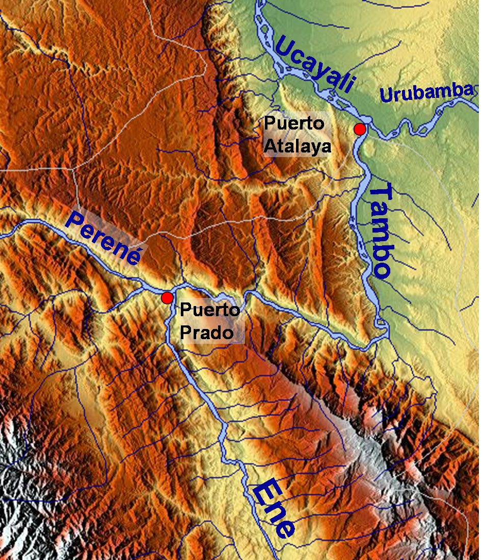
Rio Tambo.png - Roarjo

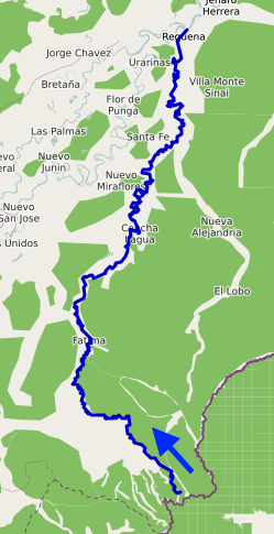
Rio Ene.png - Roarjo

Rivers of Madre de Dios.png - Roarjo

Rio Apurímac.png - Roarjo

Bacino Idrografico Nazca.png - Yuraqsiki

Mapa-novela-la-casa-verde.jpg - Simon chara
Río de la Paz map.png - Meister

Cotocajesrivermap.jpg - Meister

Cotacajesrivermap.jpg - Meister

Ecuador-Peru-Frontera.svg - Milenioscuro

Mapofperu.svg - Keysanger

The Andes of southern Peru, geographical reconnaissance along the seventy-third meridian (1916) (14782171772).jpg - Fæ

SomosValenzuelaHESS2016-fig1-mode-en.png - DeWikiMan

Sistema endorreico Titicaca-Desaguadero-Poopó-Salar de Coipasa.svg - Juan Villalobos

Sistema endorreico Titicaca-Desaguadero-Poopó-Salar de Coipasa2.svg - Juan Villalobos

Fitzcarrald-ishtmus istmo-fitz-carrall fitzcarraldo-path-street-crossing-peru.jpg - Gentle

Fitzcarrald-ishtmus istmo-fitz-carrall fitzcarraldo-path-street-crossing-peru detail.jpg - Gentle
Río Tapiche OSM.png - Ccmpg

Pijuayal-Saramiriza.png - AlejandroFC

Location of the Pacaya River.png - Arawoke