Wikimedi'Òc
Modes d'emploi

Cet album fait partie des albums


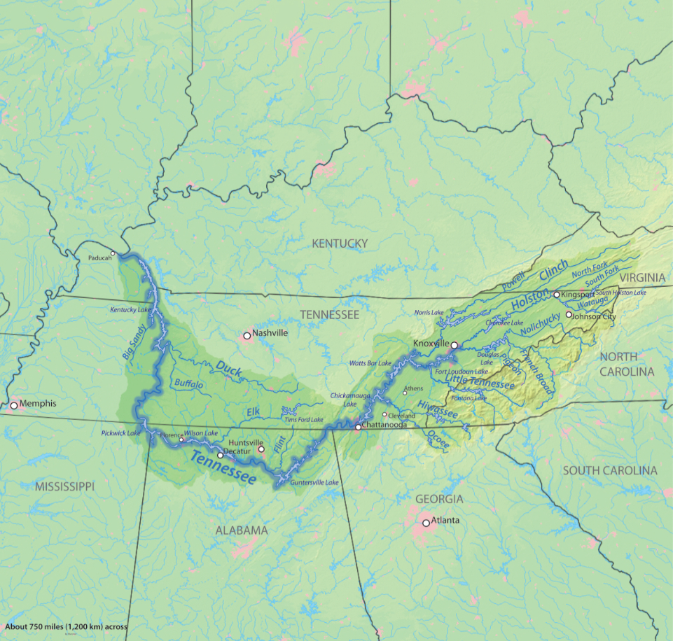
Tennessee watershed.png - Kmusser
Mobile-River-basin-USGS.gif - AID4wiki
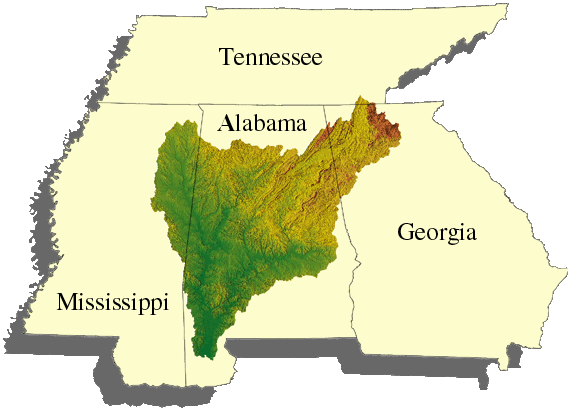
Chattahoochee watershed.png - Pfly

Choctawhatcheerivermap.png - Kmusser

Yellowflrivermap.png - Kmusser

Blackwaterflrivermap.png - Kmusser
Conecuhrivermap.png - Kmusser
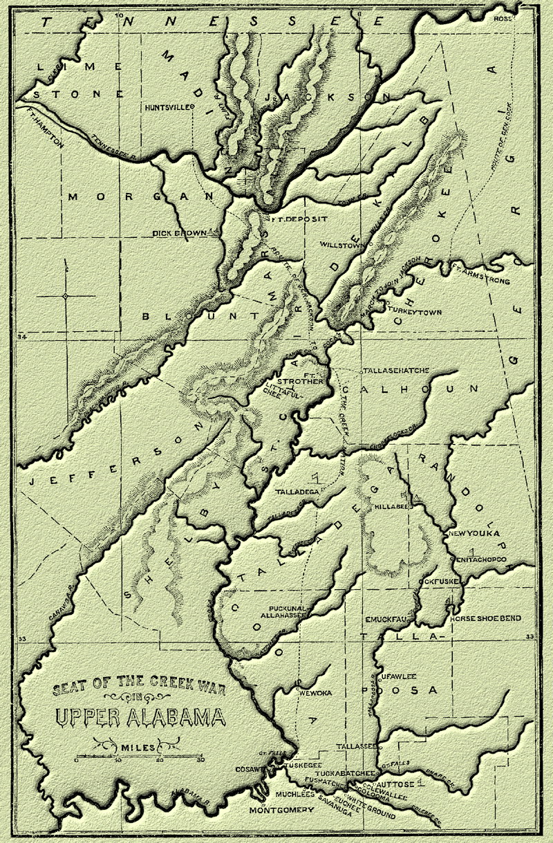
Carte sur la Guerre des Creeks.jpg - Antonov14~commonswiki

Perdidorivermap.png - Kmusser
Tombigbeerivermap.png - Kmusser

Blackwarriorrivermap.png - DanMS

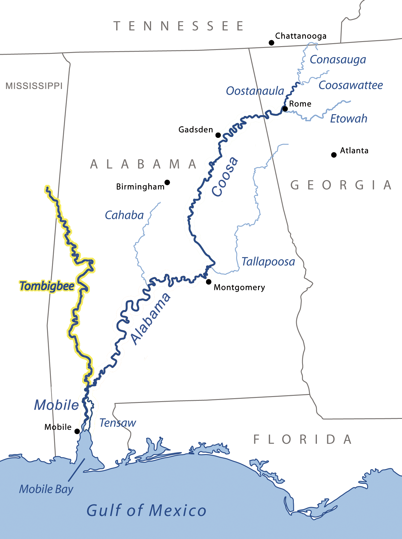
MobileAlabamaCoosa3.png - Jdlambert

Elktnrivermap.png - Kmusser
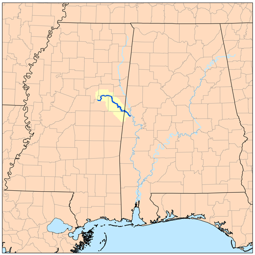
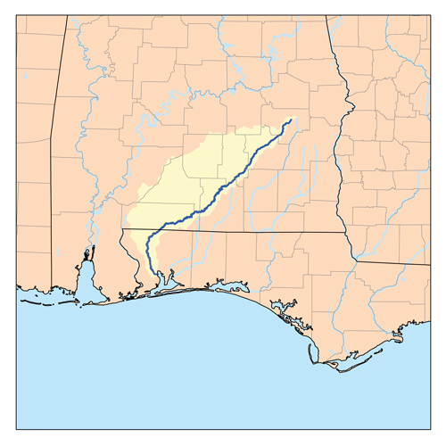
Noxubeerivermap.png - Kmusser
Tennessee River.jpg - Shannon1

AL1887 pg225 Map River System of Alabama.jpg - Metilsteiner

Map of that portion of the Tennessee River -in northern Alabama and Tennessee- between Savannah and - NARA - 305626.jpg - US National Archives bot

Alabama idrografia.png - GifTagger

ASRTrouteoverview.jpg - DickClarkMises

Alabama as it is- or, The immigrant's and capitalist's guide book to Alabama (1888) (14783607475).jpg - Fæ

Carte de l'embouchure du Mississippi et des rivières voisines en 1718.jpg - AYE R

A plan of part of the rivers Tombecbe, Alabama, Tensa, Perdido, & Scambia in the province of West Florida; with a sketch of the boundary between the nation of upper Creek Indians and that part of the LOC 73691550.jpg - Fæ
Carte d'une partie du cours de la riviere de la Mobille et de celle des Chicachas. LOC 2015588082.tif - Fæ

Derailment of the Sunset Limited on September 22, 1993 - "Figure 2. - Mobile River chart." on page 3 of Railroad-Marine Accident Report, NTSB-RAR 94-01 (PB94 916301) (page 9 crop).jpg - Ooligan