Wikimedi'Òc
Modes d'emploi

Cet album fait partie des albums
Cet album photos contient les sous-albums suivants :


A chart of the northern part of the Bay of Bengal - laid down chiefly from the surveys made by Bartholomew Plaisted and John Ritchie ; graduated & engrav'd by B. Henry ; the writing engrav'd by W. Whitchurch - btv1b53246572r (1 of 3).jpg - Gzen92Bot

West Bengal locator map.svg - Nichalp

West Bengal outline map.svg - Planemad

Westbengalimap.png - Tonym88~commonswiki
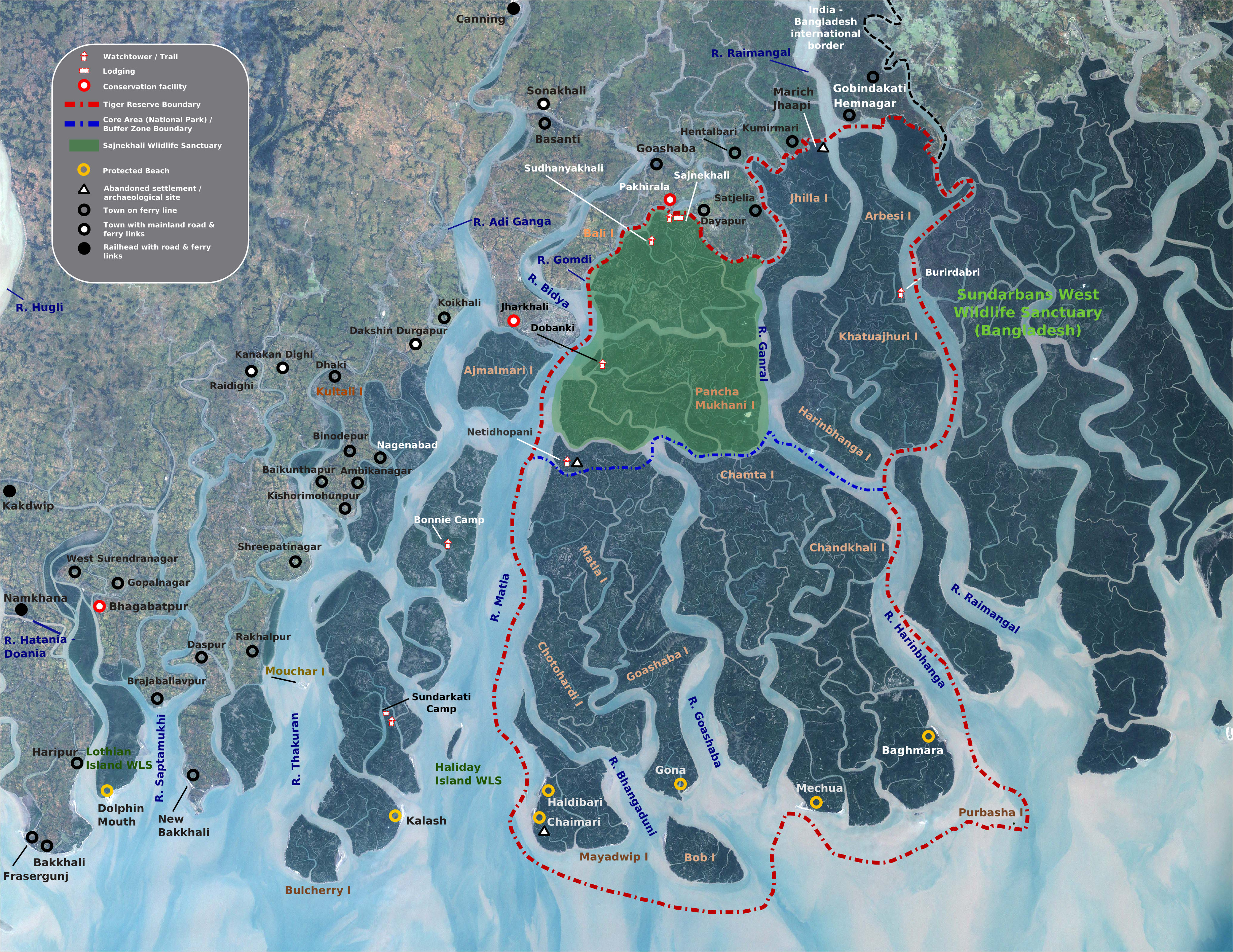
Sunderbans map.png - File Upload Bot (Magnus Manske)
Road-map 01.jpg - MegaRish

Map of North Bengal.png - Souvikpl
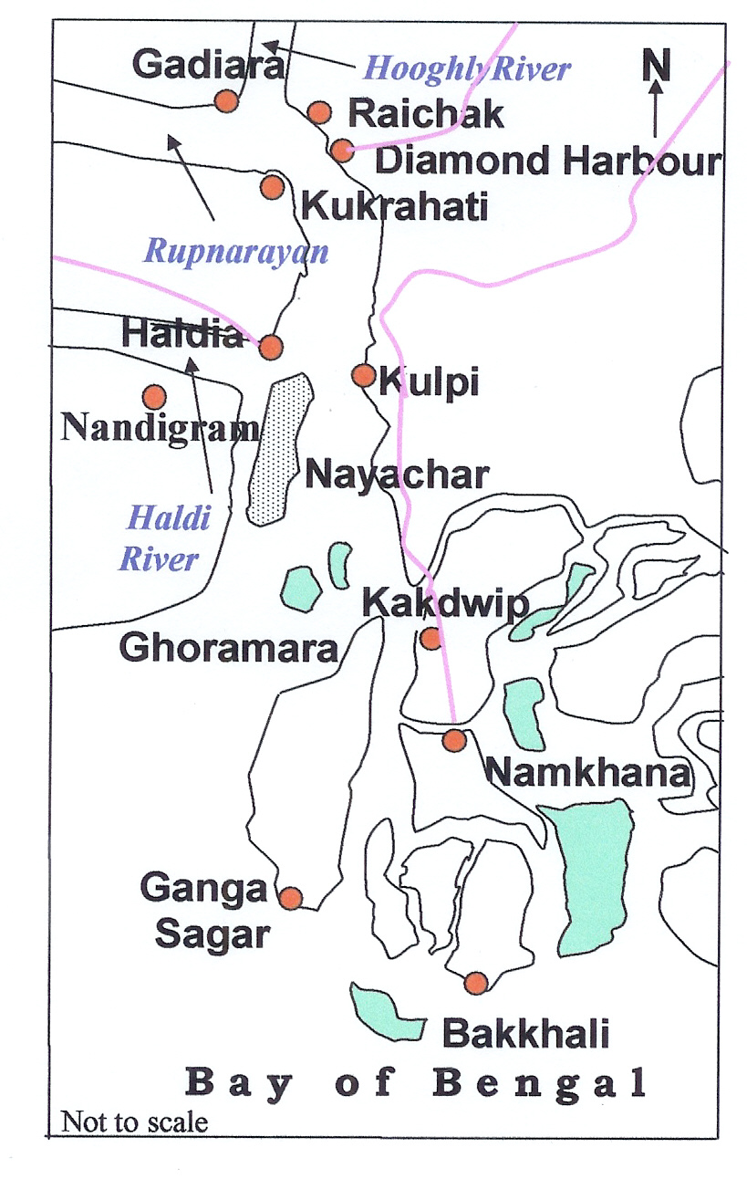
Nayachar Map.jpg - Fredlyfish4

Tetulia Corridor India Bangladesh.png - Nizil Shah

Northeast India and West Bengal.png - Trotting cove

West Bengal locator map svg bangla.png - Bodhisattwa
হলদিয়া-ফারাক্কা জলপথ.png - খাঁ শুভেন্দু

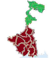
Districts of West Bengla.jpg - Chiranjit Halder
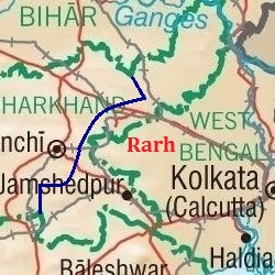
Rarh.jpg - Universal Life
South - N North Bengal in India.png - Gaurh

Ag.Cli.Re.WB(Ind).jpg - Pranab2018

AGRO-CLIMATE.WBpp.jpg - Pranab2018

West Bengal outline shape.svg - Planemad

India West Bengal relief map.svg - C1MM

West Bengal Tourism Map.jpg - Rangan Datta Wiki
Malda freedom.jpg - Wasimani f

ᱜᱟᱡᱚᱞ.jpg - Nirmal Baske

Map of Banglar or Bengal Muslin producing area.png - খাঁ শুভেন্দু

WB0809H5N1.png - OIM20