Wikimedi'Òc
Modes d'emploi

Cet album fait partie des albums
Cet album photos contient les sous-albums suivants :


New revised purvanchal state.png - Blaada

Purvanchal state proposed by Mayavati Government.png - Blaada
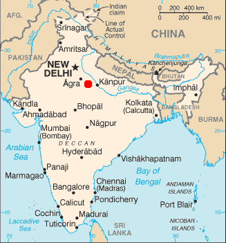
Map of india position of Allahabad highlighted.png - Sebastian Wallroth

Uttarpradesh-languages.GIF - Faizhaider

PilibhitlAllBlocks.jpg - Makks2010
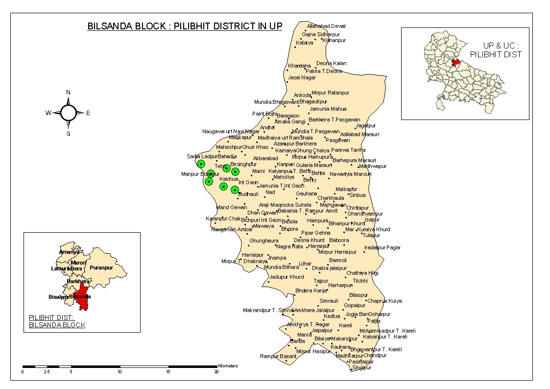
PilibhitBilsanda.jpg - Makks2010
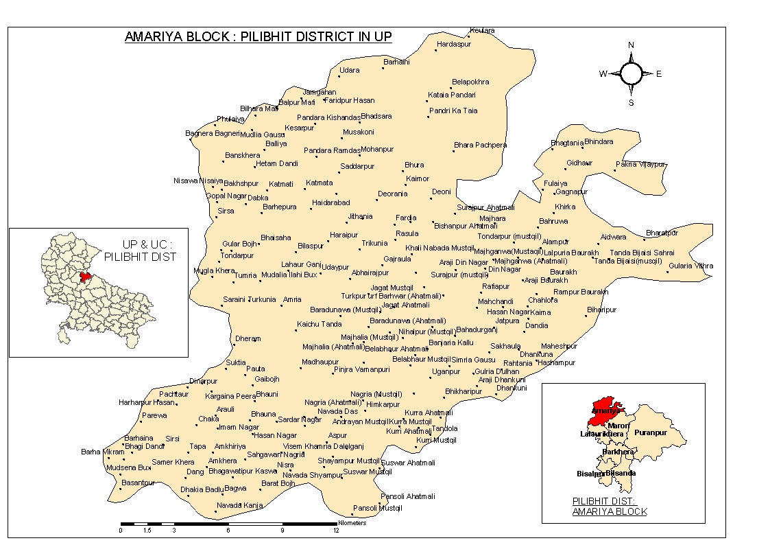
PilibhitAmariyajpg.jpg - Makks2010
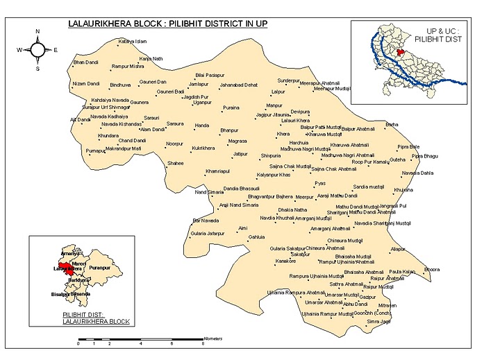
PilibhitlLalaurikhera.jpg - Makks2010

PilibhitMarori.jpg - Makks2010

UP region map.gif - File Upload Bot (Magnus Manske)
Горакханд.png - ВМНС
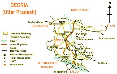
Map Of Deoria.jpg - Paina Uttar Pradesh

Map Of Paina.JPG - Paina Uttar Pradesh
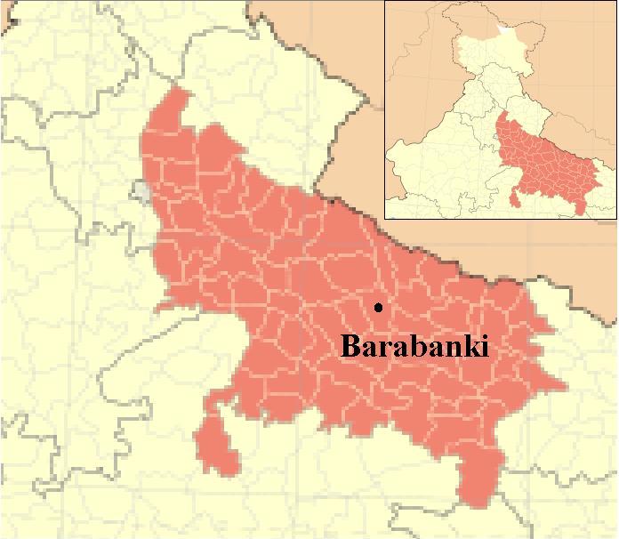
Barabanki.jpg - File Upload Bot (Magnus Manske)
Tahsil.jpg - Suburajput
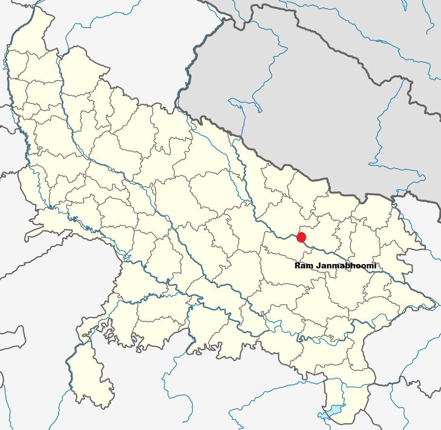
Location of Babri Masjid site map.png - Vanamonde93
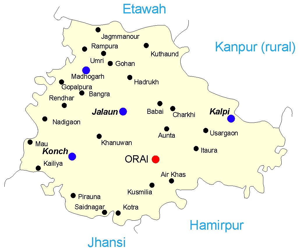
Map of Jalaun.png - Rcbutcher

Allahabad surroundings.png - GifTagger

Tahsil nawabganj map.jpg - Rcrathore
Bhimapar.pdf - Amit.rb.yadav

Divisions of up.png - Machli jal
Mainpuri .jpg - Vivekchauhan527
Faizabad.png - Breno Meireles
Uttar Pradesh small.jpg - Metrónomo

UP Police Zones.png - Bharat.varsh

UP Police Ranges.png - Bharat.varsh

Uttar Pradesh is largest subdivion by population in the world. Red area has smaller population than Uttar Pradesh, India.jpg - Iktsokh
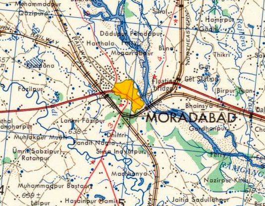
Map of Moradabad (1955).jpg - ArmouredCyborg

Uttar Pradesh religion 2011.png - Semoziade

Ull River map image.jpg - Muzammil Ansari

BlueOutlineUttarPradesh.png - GrandOldMan2
Auraiyadistrict.jpg - Dr. ashok shukla

Awadhilangmap.png - Ratri21

Kanauji.png - Ratri21

Uttar Pradesh ke mandal.png - Aj.abhishek1998

Saraiya Peerzada.jpg - Syedalihasan21

Utter Pradesh divided into regions.png - Bihar Region

Bhojpur Region in Utter Pradesh.png - Bihar Region

Kannauji language map.png - Sattvic7

Bundeli langauge map.png - Sattvic7

Braj Bhasha language map.png - Sattvic7

BrajBhashiRegion.png - ElixirOfWorld

Uttar Pradesh Wikivoyage map.png - Sbb1413

Uttar Pradesh Wikivoyage map.svg - Sbb1413

UPIndustrial-Corridors.jpg - ElixirOfWorld

UP-Map--Warehousing-Facilities.jpg - ElixirOfWorld

UP-Map---Logistics-(1)-(1).jpg - ElixirOfWorld

Uttarpradesh-industrial-map.jpg - ElixirOfWorld

Fj6lkeOaMAE-8sm.jpg - ElixirOfWorld

SOS-UP-2-13-Jun2020-1 770x433 0-x433.webp - ElixirOfWorld

Wp-1697540723847.webp - ElixirOfWorld

Kushinagar Map 1.jpg - Rangan Datta Wiki

Aurai Block Map (2011 census).jpg - Joshiaditya728

Dhanapur block of Chandauli District.jpg - Theshashii

Chandauli District Block Map.jpg - Theshashii

Dhanapur block.jpg - Theshashii

UPIDC.png - SonalSehgalghb

Language Map of Uttar Pradesh (2011 Census).svg - WeaponizingArchitecture