Wikimedi'Òc
Modes d'emploi

Cet album fait partie des albums


Wauwepex-topo-map.jpg - Eeany

1873 Beers Map of Riverhead, Suffolk County, Long Island - Geographicus - Riverhead-beers-1873.jpg - BotMultichillT
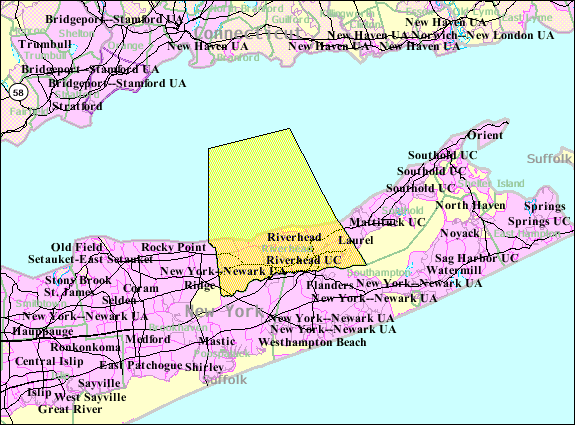
Riverhead-town-map.gif - File Upload Bot (Magnus Manske)

Riverhead-village-map.gif - File Upload Bot (Magnus Manske)

Wading-river-map.gif - File Upload Bot (Magnus Manske)

Jamesport-ny-map.gif - File Upload Bot (Magnus Manske)
Suffolk County, V. 2, Double Page Plate No. 9 (Map bounded by Long Island Sound, North Ville, Jamesport, South Jamesport, Flanders Bay, River Head) NYPL2055497.tiff - Fæ
Suffolk County, V. 2, Double Page Plate No. 8 (Map bounded by Long Island Sound, River Head, Brookhaven Southampton) NYPL2055496.tiff - Fæ

Aquebogue-map.png - GifTagger

Baiting-hollow-map.png - GifTagger

Calverton-ny-map.png - GifTagger

Northville-ny-map.gif - Innotata