Wikimedi'Òc
Modes d'emploi

Cet album fait partie des albums


1873 Beers Map of Islip and Sayville, Long Island, New York - Geographicus - Islip-beers-1873.jpg - BotMultichill

NorthBayShoreCDP.gif - JimWae

Gilgo-ny-map.gif - SreeBot
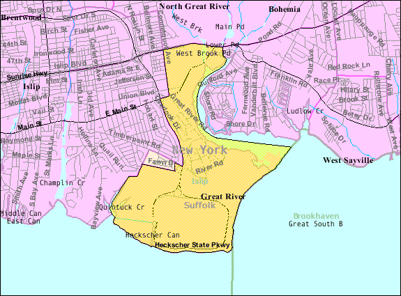
Great-river-map.gif - File Upload Bot (Magnus Manske)

Holtsville-ny-map.gif - File Upload Bot (Magnus Manske)

Islip-terrace-ny-map.gif - File Upload Bot (Magnus Manske)
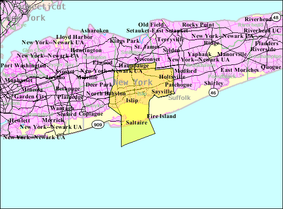
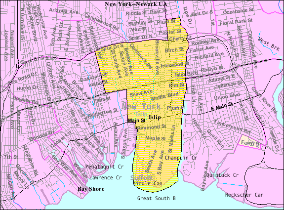
Islip-town-map.gif - File Upload Bot (Magnus Manske)
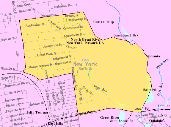
Great-river-north-map.gif - File Upload Bot (Magnus Manske)

Ronkonkoma-map.gif - File Upload Bot (Magnus Manske)
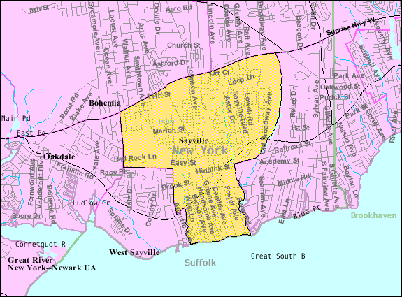
Sayville-map.gif - File Upload Bot (Magnus Manske)

West-bayshore-map.gif - File Upload Bot (Magnus Manske)
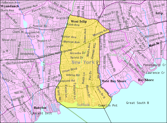
West-islip-map.gif - File Upload Bot (Magnus Manske)

West-sayville-map.gif - File Upload Bot (Magnus Manske)

Hauppauge-ny-map.gif - File Upload Bot (Magnus Manske)

Holbrook-ny-map.gif - File Upload Bot (Magnus Manske)

Islandia-ny-map.gif - Dcirovic

Ocean-beach-ny-map.gif - Dcirovic
Index Map No.1 of a part of Suffolk County. South Side - Ocean Shore, Long Island. Townships of Babylon and Part of Islip Published by E. Belcher Hyde. 97 Liberty Street, Brooklyn. 5 Beekman Street, NYPL1633882.tiff - Fæ
Islip Village and Vicinity Suffolk County, N.Y. NYPL1602997.tiff - Fæ
Islip Village and Vicinity Suffolk County, N.Y. NYPL1602998.tiff - Fæ
Part of Towns of Islip and Brookhaven NYPL1633890.tiff - Fæ
Suffolk County, V. 1, Double Page Plate No. 13 (Map bounded by Great River, Bohemia, East Lslip and Connetquot Park) NYPL2055469.tiff - Fæ
Suffolk County, V. 1, Double Page Plate No. 2 (Map bounded by Town of Smithtown, Bohemia, Nicolls Bay, Great South Bay, Town of Babylon) NYPL2055458.tiff - Fæ
Suffolk County, V. 1, Double Page Plate No. 3 (Map bounded by Part of town of Islip and Brookhaven) NYPL2055459.tiff - Fæ
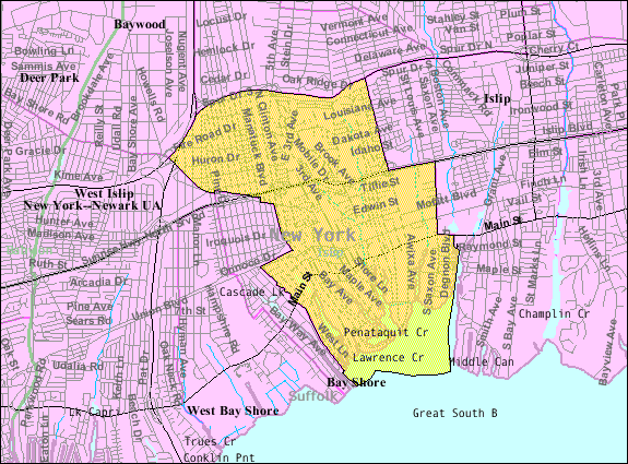
Bay-shore-map.png - GifTagger
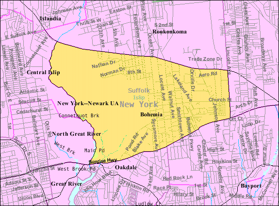
Bohemia-ny-map.png - GifTagger

Brightwaters-ny-map.png - GifTagger
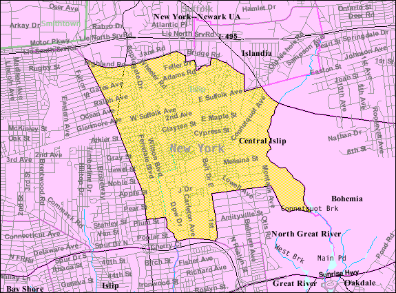
Central-islip-ny-map.png - GifTagger

East-islip-map.png - GifTagger

Suffolk County, NY, towns and villages Brightwaters highlighted.svg - MB-one
Islip-hamlet-map.gif - Innotata

Mooringsmap.jpg - Innotata