Wikimedi'Òc
Modes d'emploi

Cet album fait partie des albums
Cet album photos contient les sous-albums suivants :


Medford-map.gif - File Upload Bot (Magnus Manske)
1967-USGSTopoMapExcerpt.jpg - Neighborhoodpalmreader

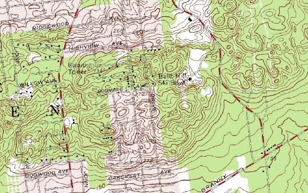
USGSMap Excerpt Telescope Hill-1954.jpg - Neighborhoodpalmreader

Miller Place NY Map.gif - File Upload Bot (Magnus Manske)

1904 U.S.G.S. Map of Long Island New York (Islip, Brookhaven, Smithtown) - Geographicus - Setauket-uscs-1925.jpg - BotMultichill

1873 Beers Map of Brookhaven and Fire Island, Long Island, NY - Geographicus - BrookhavenS-beers-1873.jpg - BotMultichill

1873 Beers Map of Northern Brookhaven, Long Island, New York - Geographicus - BrookhavenN-beers-1873.jpg - BotMultichill
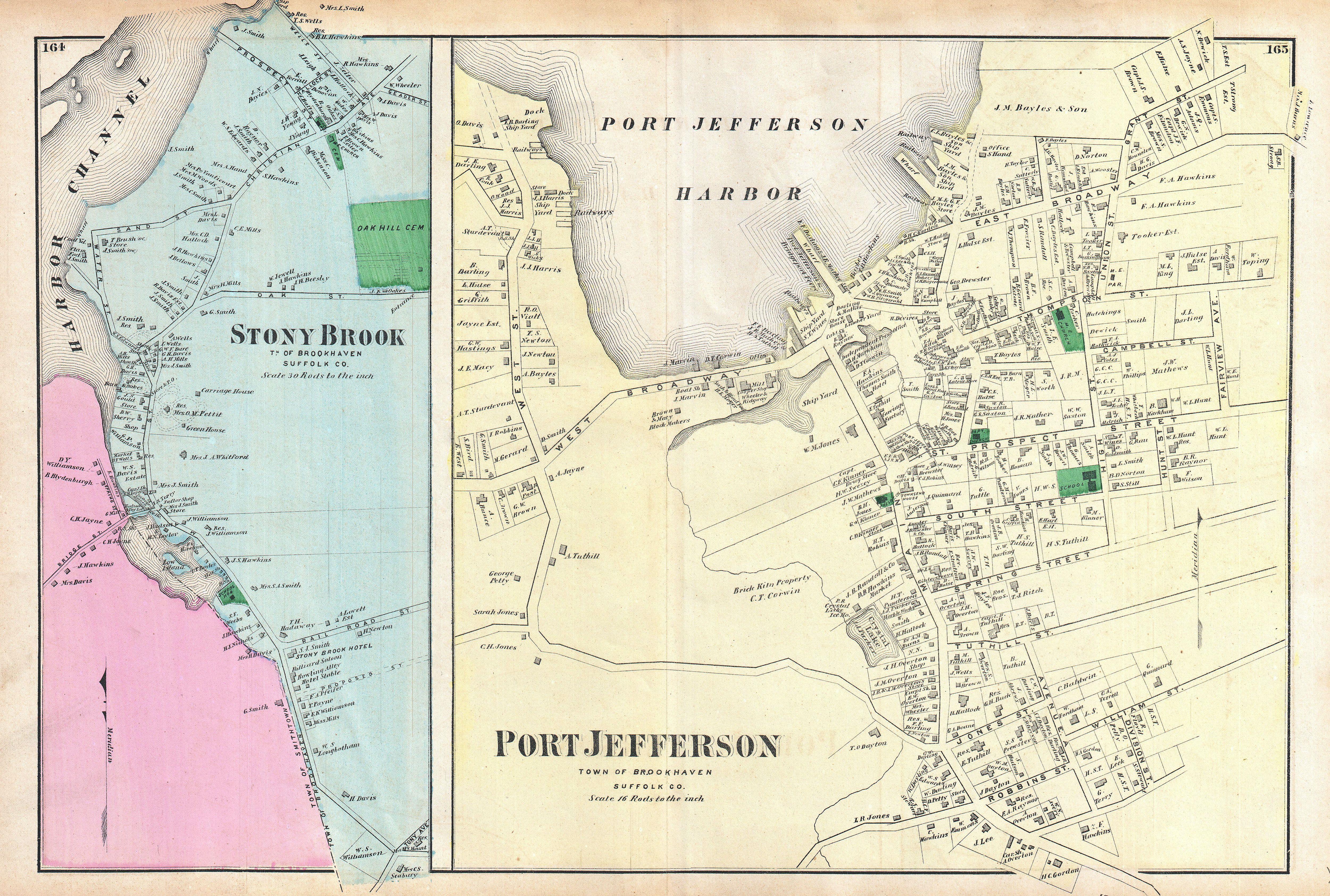
1873 Beers Map of Stony Brook and Port Jefferson, Long Island, New York - Geographicus - StonyBrook-beers-1873.jpg - BotMultichill

1873 Beers Map of Yaphank, Millers Place, Brook Haven and East Patchogue, Long Island, New York - Geographicus - Yaphank-beers-1873.jpg - BotMultichill

Brookhaven Suffolk NY.png - VulcanTrekkie45~commonswiki

Farmingville-ny-map.gif - File Upload Bot (Magnus Manske)

Gordon-heights-ny-map.gif - File Upload Bot (Magnus Manske)

Holtsville-ny-map.gif - File Upload Bot (Magnus Manske)
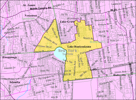
Lake-ronkonkoma-map.gif - File Upload Bot (Magnus Manske)

Mastic-beach-map.gif - File Upload Bot (Magnus Manske)

Mastic-village-map.gif - File Upload Bot (Magnus Manske)

Middle-island-ny-map.gif - File Upload Bot (Magnus Manske)
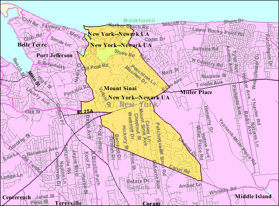
Mount-sinai-map.gif - File Upload Bot (Magnus Manske)

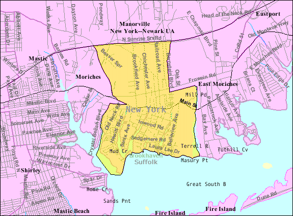
Moriches-map.gif - File Upload Bot (Magnus Manske)

North-bellport-ny-map.gif - File Upload Bot (Magnus Manske)

North-patchogue-map.gif - File Upload Bot (Magnus Manske)

Port-jefferson-station-map.gif - File Upload Bot (Magnus Manske)
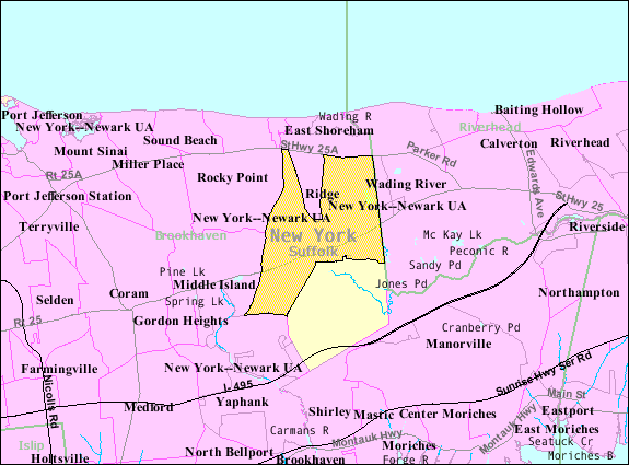
Ridge-ny-map.gif - File Upload Bot (Magnus Manske)

Setauket-map.gif - File Upload Bot (Magnus Manske)
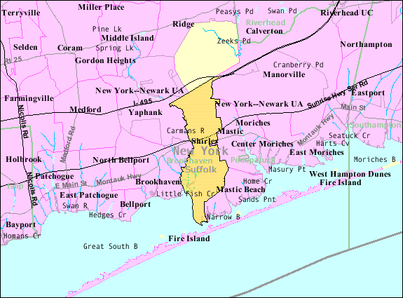
Shirley-map.gif - File Upload Bot (Magnus Manske)

Stony-brook-map.gif - File Upload Bot (Magnus Manske)

Manorville-map.gif - File Upload Bot (Magnus Manske)

Rocky-point-ny-map.gif - File Upload Bot (Magnus Manske)

Selden-ny-map.gif - File Upload Bot (Magnus Manske)

Holbrook-ny-map.gif - File Upload Bot (Magnus Manske)

Shoreham-ny-map.gif - Dcirovic

Poquott-map.gif - Dcirovic
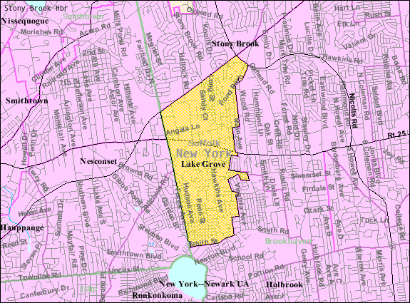
Lake-grove-ny-map.gif - Dcirovic
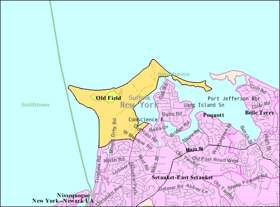
Old-field-ny-map.gif - Dcirovic
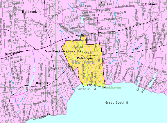
Patchogue-map.gif - Dcirovic
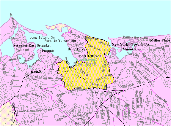
Port-jefferson-map.gif - Dcirovic

Terryville-ny-map.gif - File Upload Bot (Magnus Manske)
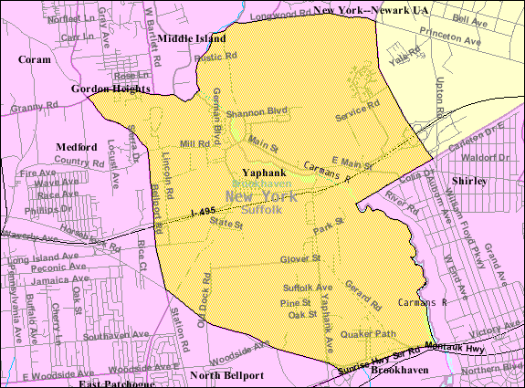
Yaphank-map.png - McPot
Centre Moriches NYPL1633952.tiff - Fæ
Bellport, Town of Brookhaven, Suffolk Co. - East Moriches, Town of Brookhaven, Suffolk Co. - Moriches, Town of Brookhaven, Suffolk Co. - Manorville, Town of Brookhaven, Suffolk Co. NYPL1527338.tiff - Fæ
Brookhaven. (Village); Eastport. (Village) NYPL1603004.tiff - Fæ
Center Moriches. (Village) NYPL1603005.tiff - Fæ
Index Map No.2 of a part of Suffolk County. South Side - Ocean Shore, Long Island. Part of Islip and Part of Brookhaven. Published by E. Belcher Hyde. 97 Liberty Street, Brooklyn. 5 Beekman Street, NYPL1633.tiff - Fæ
Part of Brookhaven Suffolk County NYPL1633971.tiff - Fæ
Part of Port Jefferson and Part of Port Jefferson Station NYPL1633997.tiff - Fæ
Part of Town of Brookhaven NYPL1633894.tiff - Fæ
Part of Town of Brookhaven NYPL1633892.tiff - Fæ
Part of Town of Brookhaven NYPL1633893.tiff - Fæ
Part of Town of Brookhaven; Brookhaven NYPL1633896.tiff - Fæ
Part of Towns of Islip and Brookhaven NYPL1633890.tiff - Fæ
Part of Towns of Islip and Brookhaven NYPL1633891.tiff - Fæ
South Part of Brookhaven. (Township) NYPL1602991.tiff - Fæ
Suffolk County, V. 1, Double Page Plate No. 3 (Map bounded by Part of town of Islip and Brookhaven) NYPL2055459.tiff - Fæ
Suffolk County, V. 1, Double Page Plate No. 4 (Map bounded by Part of town of Brookhaven) NYPL2055460.tiff - Fæ
Suffolk County, V. 2, Double Page Plate No. 23 (Map bounded by Egho, Wading River, Cutgiogue) NYPL2055511.tiff - Fæ
Suffolk County, V. 2, Double Page Plate No. 5 (Map bounded by Coram, Coram Hill, West Yaphank, Plain Field, Medford, Holts Ville, Holbrook, Ronkonkoma, Lake Ronkonkoma, Lake Grove) NYPL2055493.tiff - Fæ
Suffolk County, V. 2, Double Page Plate No. 4 (Map bounded by East Beach, Stony Brook, Setauket, Eaast Setauket) NYPL2055492.tiff - Fæ
Suffolk County, V. 2, Double Page Plate No. 6 (Map bounded by Long Island Sound, Ridgeville, Middle Island) NYPL2055494.tiff - Fæ
Ronkonkoma NYPL1633994.tiff - Fæ
Ronkonkoma NYPL1633956.tiff - Fæ

Chapin Appartments SBU.png - Techguy78
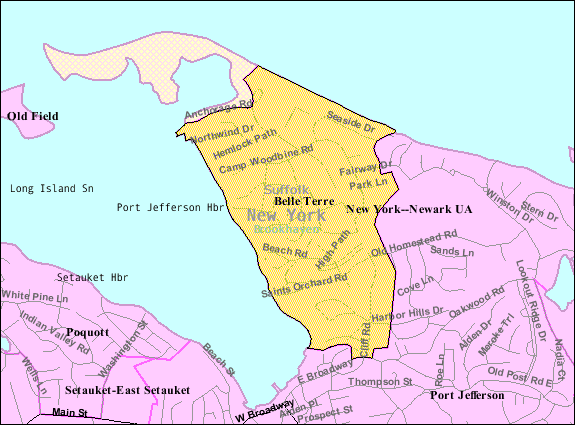
Belle-terre-map.png - GifTagger

Bellport-ny-map.png - GifTagger
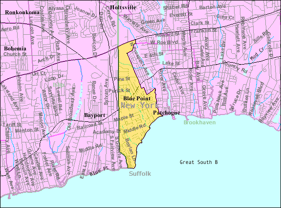
Blue-point-map.png - GifTagger

Calverton-ny-map.png - GifTagger
Center-moriches-map.png - GifTagger

Centereach-ny-map.png - GifTagger
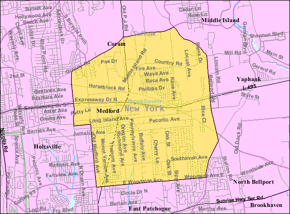
Coram-ny-map.png - GifTagger

East-moriches-map.png - GifTagger
East-patchogue-map.png - GifTagger

East-shoreham-ny.png - GifTagger

Eastport-ny-map.png - GifTagger
Emoriches.png - GifTagger

T77-1.jpg - Sanjayshivesh
T77-3.jpg - Sanjayshivesh

Poospatuck-reservation.gif - Innotata

Strongs-neck-map.jpg - Innotata
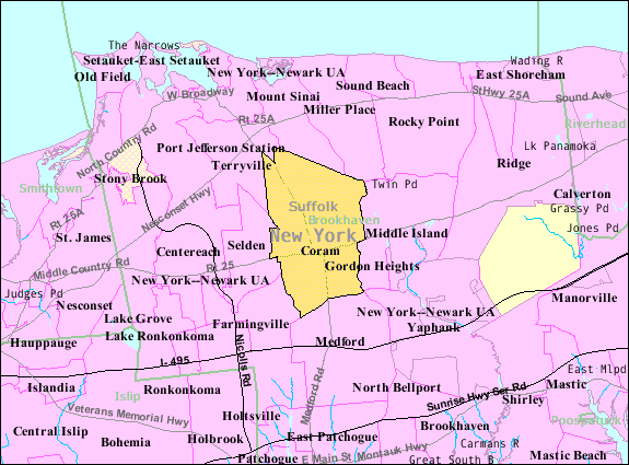
Brookhaven-town-map.gif - Innotata

Brookhaven-village-map.gif - Innotata