Wikimedi'Òc
Modes d'emploi

Cet album fait partie des albums


CtyMapWashington.png - BigBen212

Mountain Meadows BHoU-p550.png - Moverton
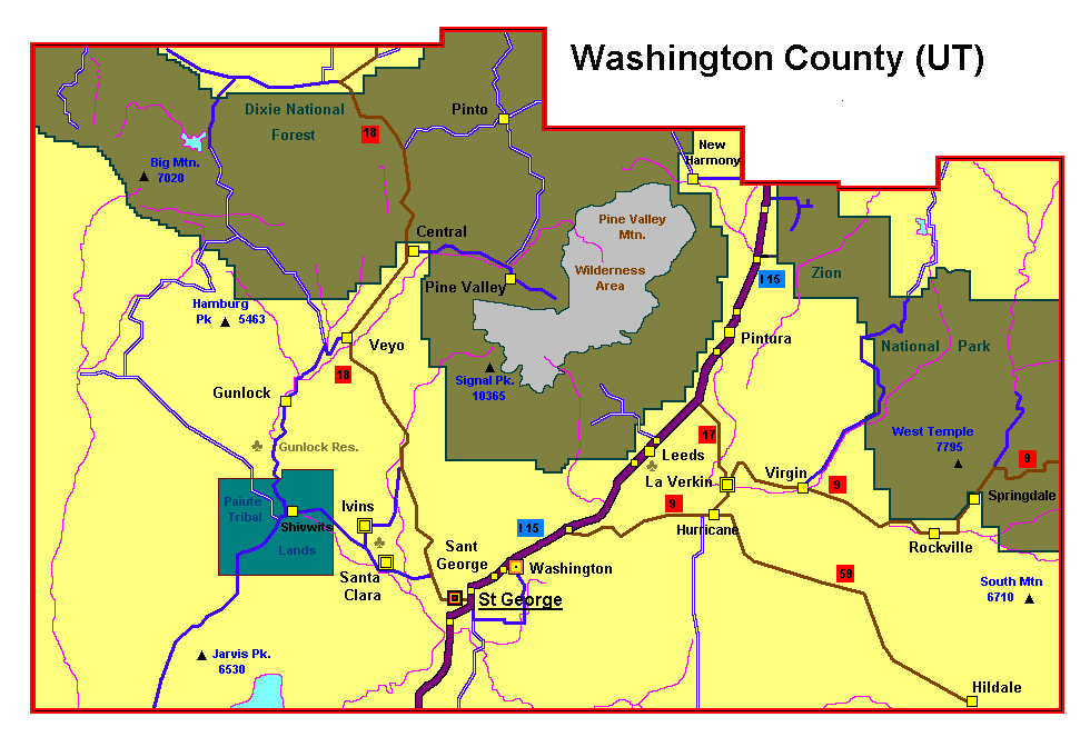
Washingtoncounty ut.png - Dk4hb~commonswiki
UTMap-doton-StGeorge.PNG - SieBot

Southern Utah map c. 1857, Bancroft p. 550.PNG - COGDEN

Arizona State Route 389 map.svg - Shereth

American Indian Reservations and Other Indian Trust Lands Bureau of Indian Affairs Western Region.jpg - Cenglish

Washington County Utah incorporated and unincorporated areas St. George highlighted.svg - Rcsprinter123

Stgeorge domestic routes.gif - Ricardo630

Temple and Honeymoon Trails - Flickr - brewbooks.jpg - Josve05a

Upshot-knothole-harry-radiation.jpg - Redneck444

2017.05.07 12.11.29 IMG 0619 - Flickr - andrey zharkikh.jpg - Josve05a

Race and ethnicity 2020 St. George, UT.png - GeneralGreen