Wikimedi'Òc
Modes d'emploi

Cet album fait partie des albums
Cet album photos contient les sous-albums suivants :


Revolution Wind Lease Area and Infrastructure.png - SamaraCohen

Revolution Wind Proposed WTG Layout.png - SamaraCohen

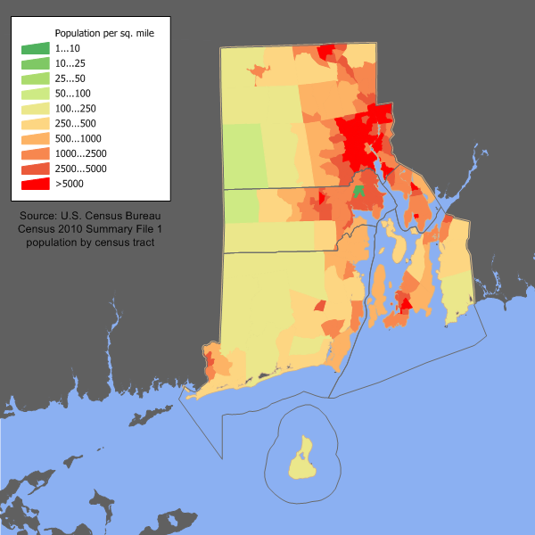
Rhode Island population density 2020.png - Crossover1370

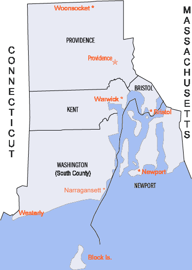
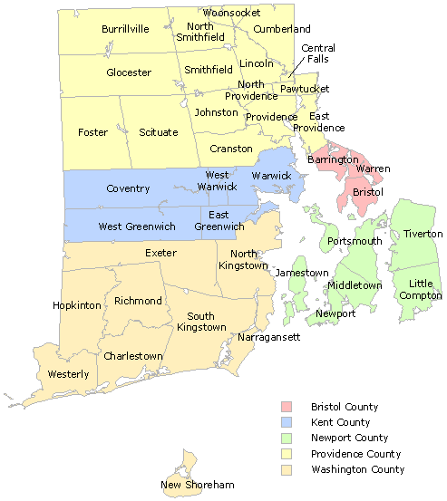
Rhode-island-counties.gif - MECU
Area code 401.png - Fran Rogers

Scituate watershed.gif - BetacommandBot

Rhode Island wind resource map 50m 800.jpg - Teratornis
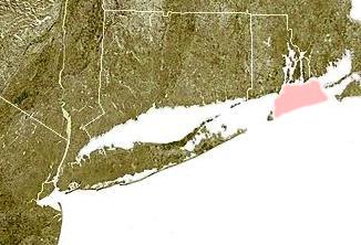
Wpdms ev26188 rhodeislandsound.jpg - Urdangaray

Wpdms ev26188 blockislandsound.jpg - SreeBot

Middletown RI lg.PNG - MGA73bot2

Charlestown RI lg.PNG - MGA73bot2

Map of Rhode Island Regions.png - OgreBot
RhodeIslandLocations.png - MGA73bot2

Blockisland.png - File Upload Bot (Magnus Manske)

Rhode-Island-counties-map-hant.png - Alvin Lee

RI - State Police Troop Map.png - Addihockey10
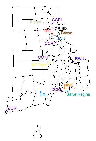
Rhode Island Colleges.png - BD2412

Rhode Island Köppen.png - Redtitan
List of municipalities in Rhode Island.gif - Mattximus

National Scenic Byways Program Maps- Rhode Island - NARA - 68884800.jpg - US National Archives bot

List of municipalities in Rhode Island zh-hk.jpg - Sanmosa

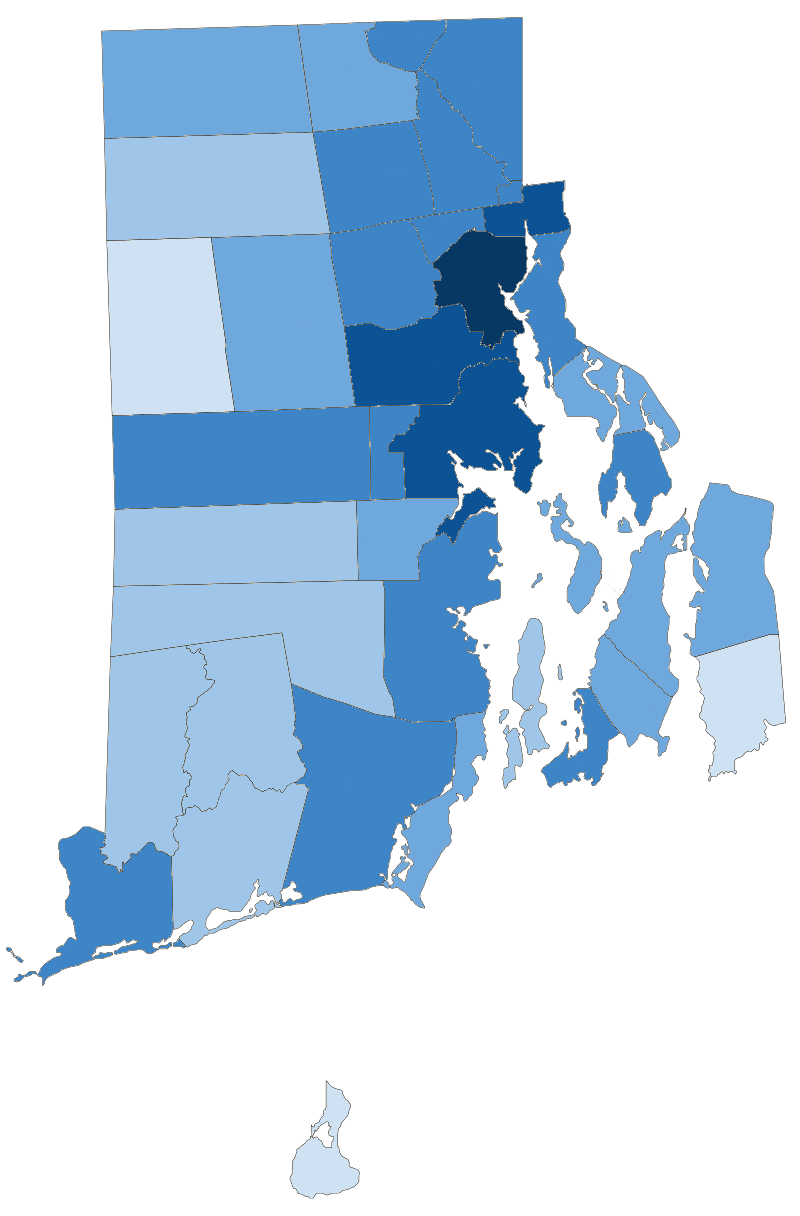
Population density of Rhode Island counties (2020).png - Austiger
Ri towns by population.png - Infrarrojo00

Wood river watershed.png - Mheberger

Map State of Rhode Island, USA, main roads with numbers, colored counties with names SVG.svg - Kirill Shrayber

Rhode Island population map (magyar).png - Regasterios
Rhode Island population map.png - JimIrwin