Wikimedi'Òc
Modes d'emploi

Cet album fait partie des albums
Cet album photos contient les sous-albums suivants :


Ryukyumap.gif - Shizhao

North Region of Okinawa Island.gif - Alberth2

Middle Region of Okinawa Island.gif - Alberth2
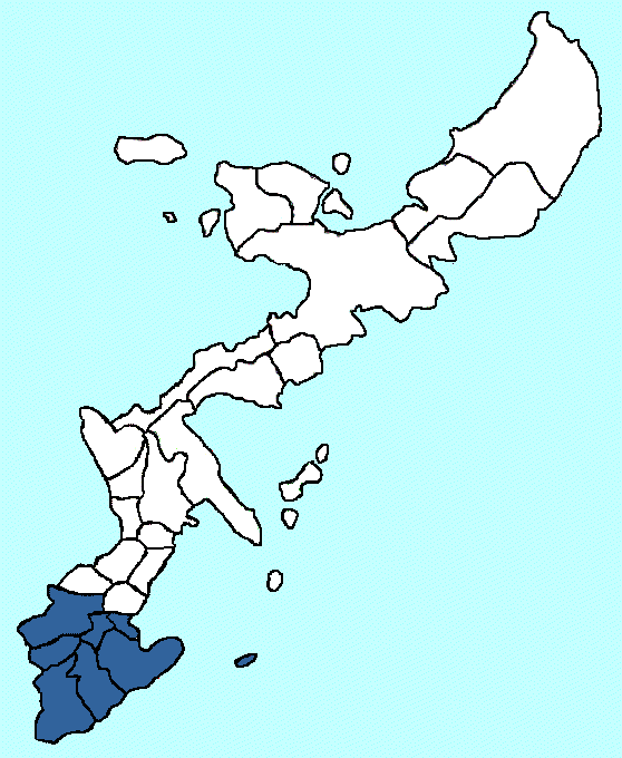
South Region of Okinawa Island.gif - Alberth2
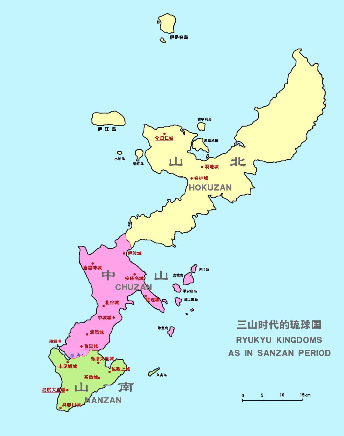
Ryukyu Kingdoms of Sanzan era.jpg - Kallgan
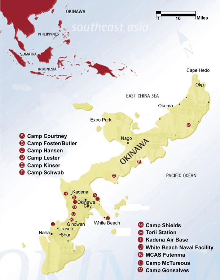
OkinawaUSBasesMap.jpg - Cla68

Okinawa Expressway map.jpg - Kugel~commonswiki

Map of Okinawa Island.svg - Kugel~commonswiki

Route330 Route449 Route505 ja.png - Simpleinfobox
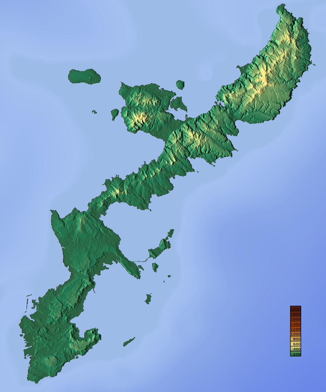
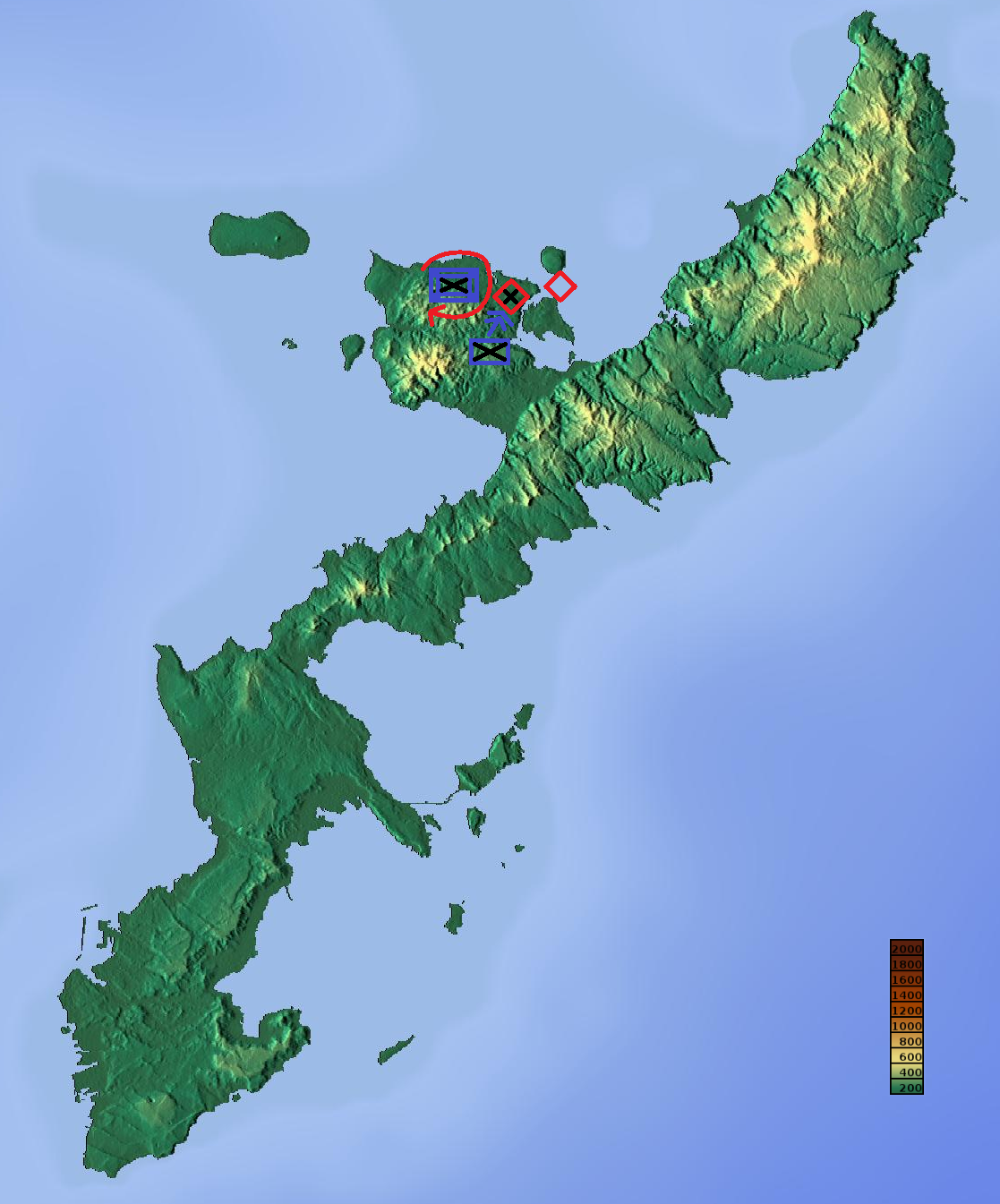
Topographic map of Okinawa Island.png - Kugel~commonswiki

Map of Motobu Peninsula.png - Kugel~commonswiki

Administrative divisions in Okinawa Island.png - GifTagger

Map of Yambaru National Park.svg - Kugel~commonswiki
Ryukyu Invasion Phase5.png - Sturmgewehr88

Ryukyu Invasion Phase6.png - Sturmgewehr88

Ryukyu Invasion Phase7.png - Sturmgewehr88

Ryukyu Invasion Phase8.png - Sturmgewehr88

Map of Okinawa Island 02.svg - Kugel~commonswiki

XXXIV Corps Advance Checked - NARA - 100307408.jpg - US National Archives bot

Map of Western Okinawa Beaches - NARA - 100307410.jpg - US National Archives bot

国頭方西海道経路図.jpg - 平地ポカ

Hokuzan.jpg - Fanasiro

OKINAWA UDT-7 MAP Yellow Beaches.jpg - JDCONN1981

Battlefield Composite Map of Okinawa.jpg - Balkanique

沖縄本島北部地域にある文学碑.png - Alain Parks

Okinawa Jima.jpg - Zoozaz1
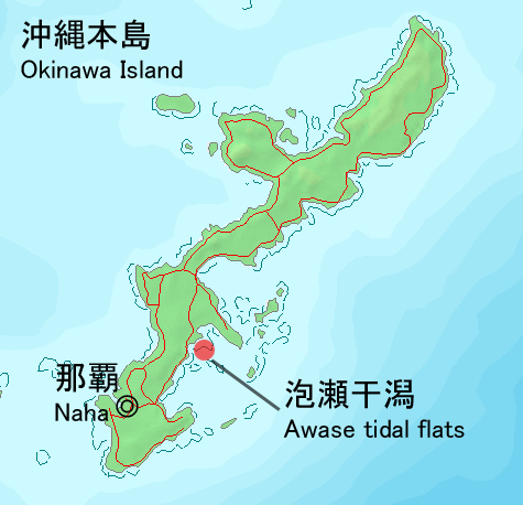
Awase map1.png - Tdk

Topographic map of Okinawa Island for location map.png - Kugel~commonswiki

Okinawa - DPLA - 395ee0956c8e774fbdef50b98aa61b12.jpg - DPLA bot

Simplified Geological Map of northern Okinawa Island.png - Matt.chw

Okinawa, Japan - DPLA - 853f92f7e200314b37ac5ea0aa8def88.jpg - DPLA bot

Napakiang Roads - Great Loo Choo Island.jpg - CatOnMars

Top of Untamamui seen from the side of Yonabaru Town 202410.jpg - Kugel~commonswiki

Top of Untamamui seen from the side of Nishihara Town 202410.jpg - Kugel~commonswiki

Japan Okinawa Island adm location map.svg - Isochrone

Japan Okinawa Island rel location map (no bathymetry).svg - Isochrone

Japan Okinawa Island rel location map (with bathymetry).svg - Isochrone

Chatan Gusuku.png - Bérangère444

Chatan Gusuku Hill Complex.png - Bérangère444