Wikimedi'Òc
Modes d'emploi


Cet album fait partie des albums


A General Chart of the West Indies- With Additions from the Latest Navigators WDL21.png - Fæ

2º Plano Geografico de la mayor parte de el Reyno de Goatemala (cropped).jpg - ANAGSPC

Nouvelle géographie universelle - la terre et les hommes (1876) (14775289304).jpg - Fæ
Mapa Miskito-es.svg - Rowanwindwhistler
Mapa Miskito2-es.svg - Rowanwindwhistler

A map of a part of Yucatan, or of that part of the eastern shore within the Bay of Honduras alloted to Great Britain for the cutting of Logwood, in consequence of the convention signed with Spain on LOC 86692593.jpg - Fæ

Map of Guatemala - reduced from the survey in the archives of that country, 1826. LOC 2004629011.jpg - Fæ
Map of Central America including the states of Guatemala, Salvador, Honduras, Nicaragua & Costa Rica, the territories of Belise & Mosquito, with parts of Mexico, Yucatan & New Granada - shewing the LOC 2004629005.tif - Fæ

Map of Central America including the states of Guatemala, Salvador, Honduras, Nicaragua & Costa Rica, the territories of Belise & Mosquito, with parts of Mexico, Yucatan & New Granada - shewing the LOC 2004629005.jpg - Fæ

West Indies map Brightly & Kinnersley 1812.png - Lubiesque
Map of the Mosquito Shore, Nicaragua, Central America LOC 2004629024.tif - Fæ

Map of the Mosquito Shore, Nicaragua, Central America LOC 2004629024.jpg - Fæ
A map or chart of the Mosquito Shore - with the islands, keys, rocks and shoals, adjacent to (or between) it and Iamaica LOC 2004627358.tif - Fæ

A map or chart of the Mosquito Shore - with the islands, keys, rocks and shoals, adjacent to (or between) it and Iamaica LOC 2004627358.jpg - Fæ

A new map of Central America - shewing the different lines of Atlantic & Pacific communication LOC 2018588014.jpg - Fæ

A new map of Central America - shewing the different lines of Atlantic & Pacific communication LOC 2018588008.jpg - Fæ
The West-India atlas, or, A compendious description of the West-Indies - illustrated with forty correct charts and maps, taken from actual surveys - together with an historical account of the LOC 74175045-39.tif - Fæ

The West-India atlas, or, A compendious description of the West-Indies - illustrated with forty correct charts and maps, taken from actual surveys - together with an historical account of the LOC 74175045-39.jpg - Fæ

Mosquito Coast.jpg - Thejenkins44

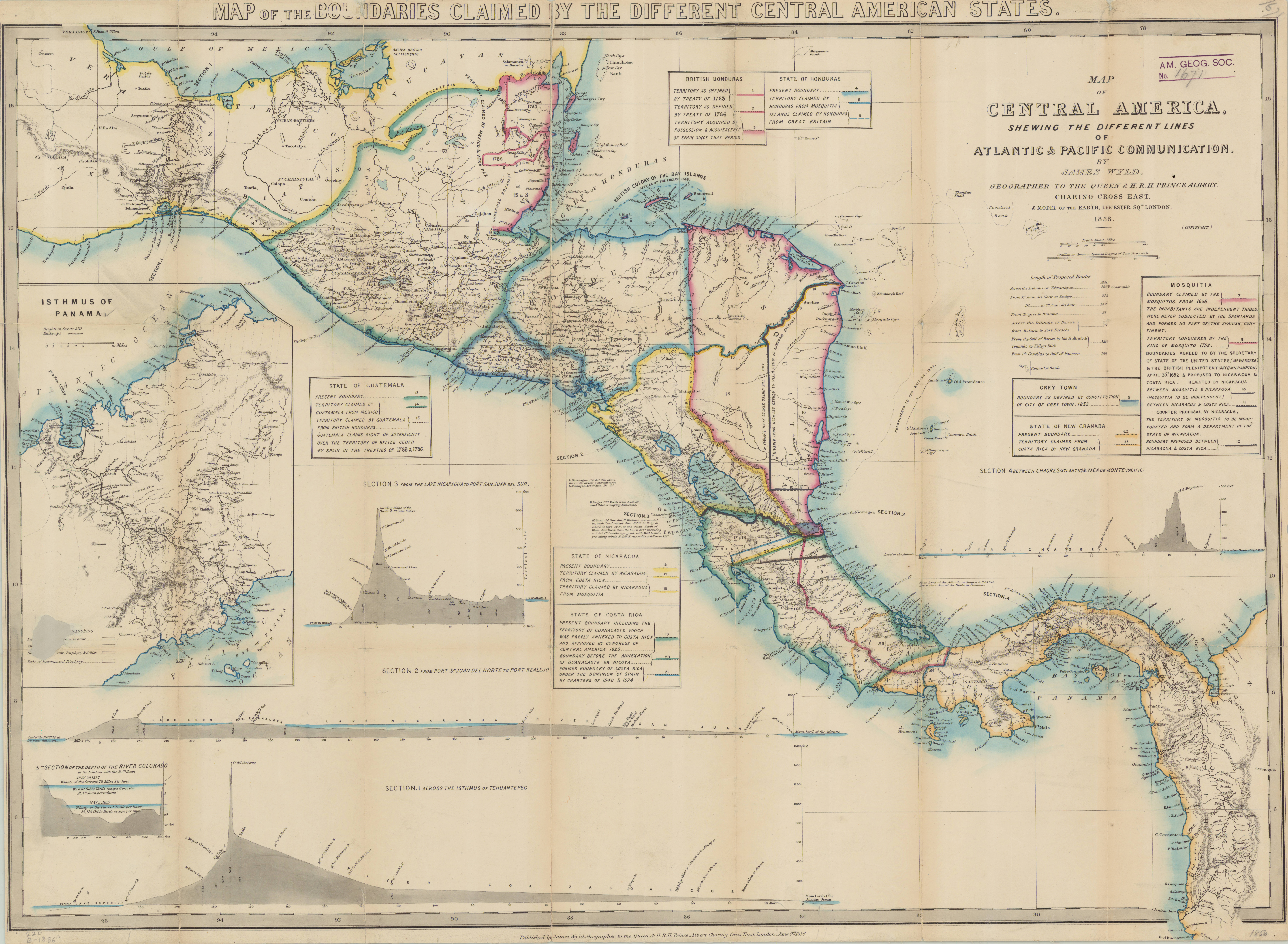
Map of Central America, shewing the different lines of Atlantic & Pacific Communication by James Wyld. Title in top margin Map of the boundaries claimed by the different Central American states.jpg - Thecaribbeancoast

Guatemala or United States of Central America.jpg - Thecaribbeancoast

A draught of the windward coast of the Mosquito shore - btv1b59708025.jpg - Gzen92Bot

The Isthmus of Panama with the Coast from Great River on the Moskito Shore to Cartagena - by Tho.s Jefferys - btv1b53052699g.jpg - Gzen92Bot

Carte de la Moskitie où se fonde la Neustrie - Dressée par Desmadryl Jne, Géographe - btv1b84922908.jpg - Gzen92Bot

Carte de la Neustrie dressée, ainsi que la carte générale, d'après les cartes de Jn. Purdy, celles de Th. Jefferys, corrigées, etc., etc. - par Desmadryl jeune - btv1b84922923.jpg - Gzen92Bot

Map of the Mosquito Coast.jpg - Thecaribbeancoast

A Map of the Bay of Honduras and the Moskito Shore - with the Number of Inhabitants and the Commodities Exported from thence in one year.jpg - Thecaribbeancoast

Costa De Los Yndios Mosquitos.jpg - Thecaribbeancoast

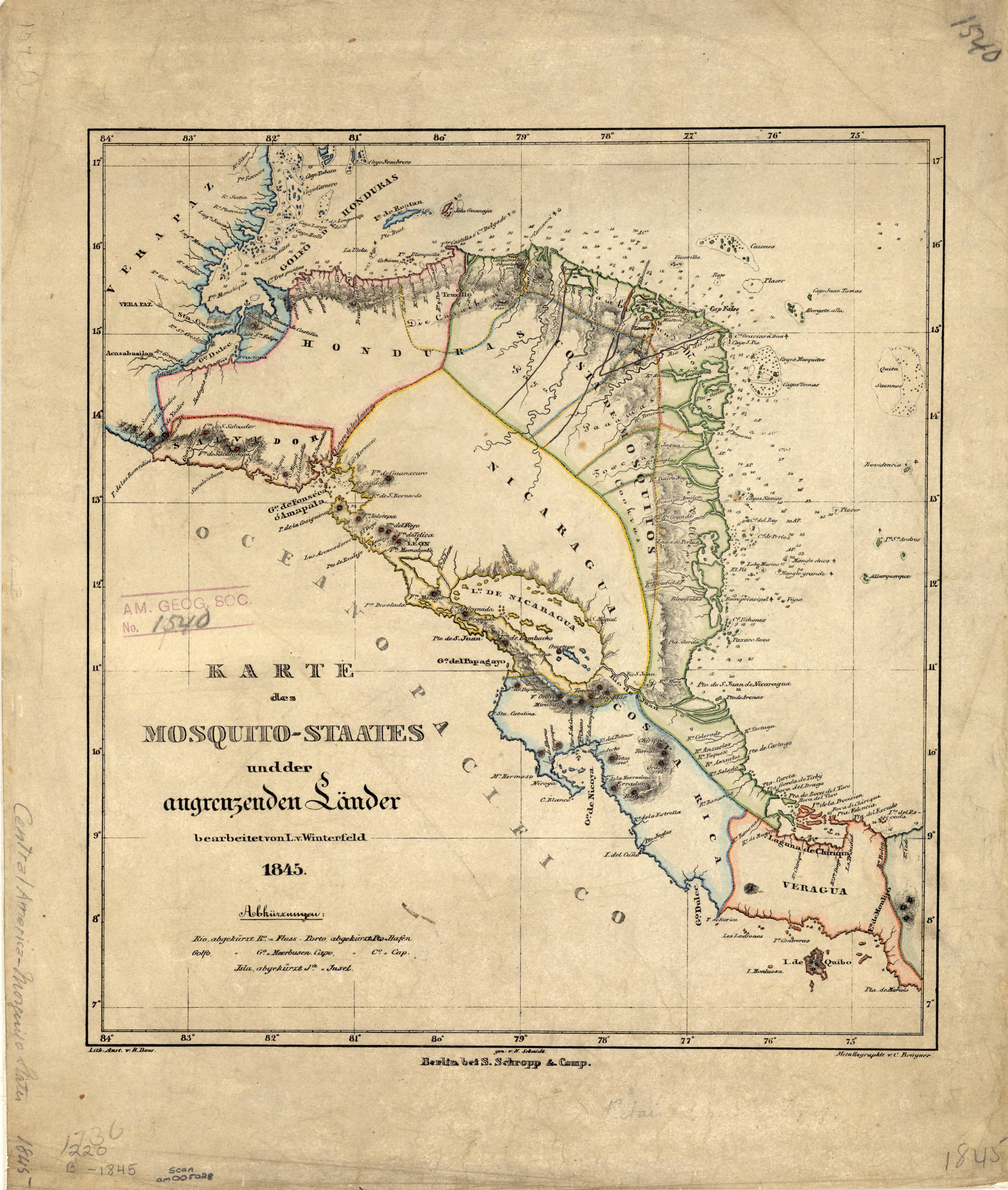
Karte des Mosquito-Staates undder angrenzenden Länder bearbeitet von L. v. Winterfeld; S. Schropp & Comp., 1845.jpg - Thecaribbeancoast

Map of the West India & Bahama Islands with the adjacent Coasts of Yucatan, Honduras, Caracas &c.jpg - Thecaribbeancoast

Map of the West India & Bahama Islands with the adjacent Coasts of Yucatan, Honduras, Caracas, &c.jpg - Thecaribbeancoast

The United States of Mexico. Guatemala or the United Provinces of Central America.jpg - Thecaribbeancoast

Mexico and Guatemala- shewing the position of the mines.jpg - Enyavar

Mexico and Guatemala, Shewing the position of the Mines.jpg - Thecaribbeancoast

(South Sheet) Mexico The British Possessions In North America And The United States.jpg - Thecaribbeancoast

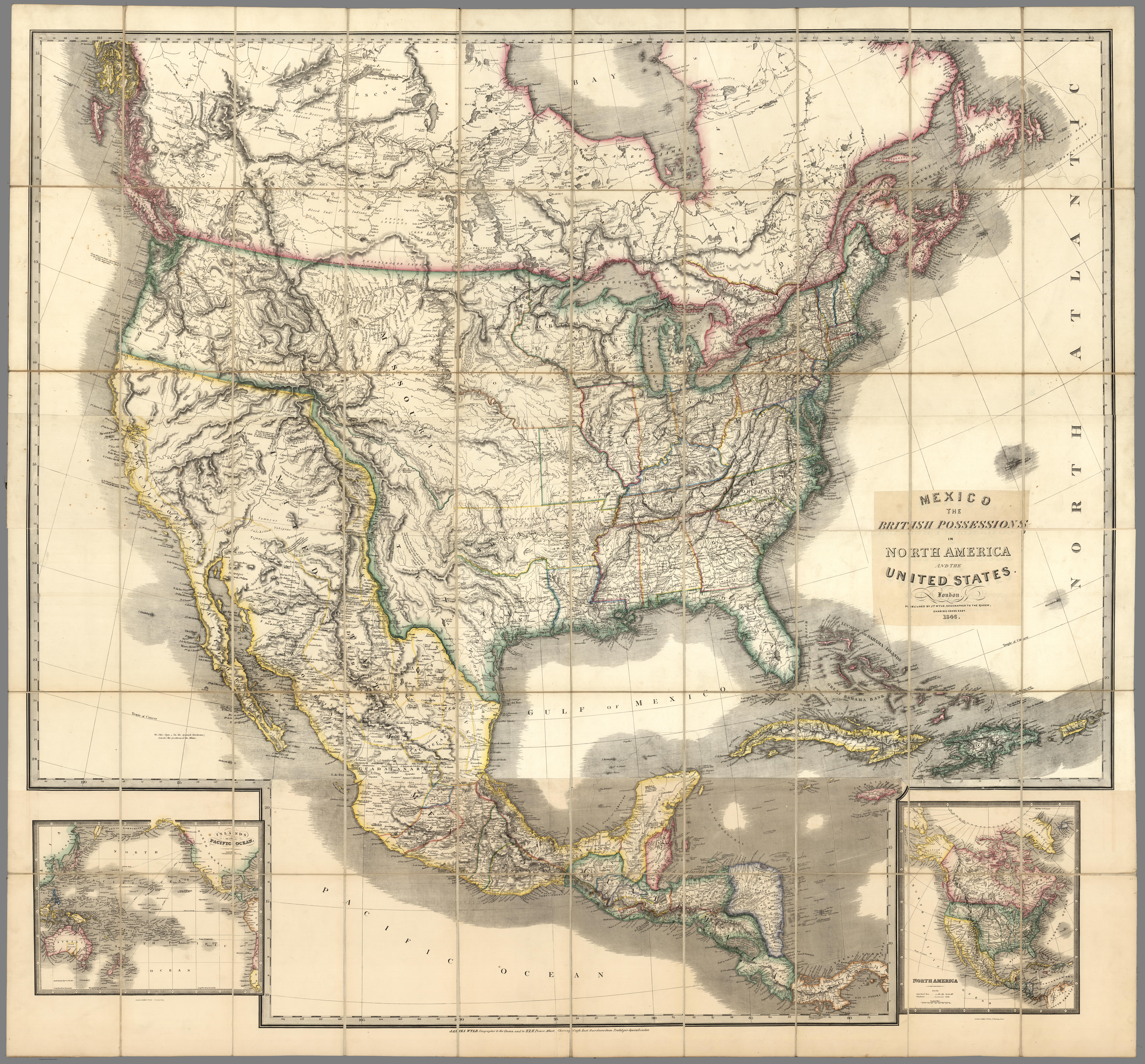
Mexico The British Possessions In North America And The United States.jpg - Thecaribbeancoast

A map of North America. exhibiting the recent discoveries, Geographical and nautical.jpg - Thecaribbeancoast

North America. 1864.jpg - Thecaribbeancoast

Guatemala, ou Provinces-Unies de L'Amérique Centrale.jpg - Thecaribbeancoast

Partie du Guatemala. Amer. Sep. 72.jpg - Thecaribbeancoast

Map of the United States, Canada, Mexico and the West Indies with Central America, Showing All the Routes to California with a Table of Distances.jpg - Thecaribbeancoast

A Draught of the Windward Coast of the Mosquito Shore from Point Pattuck to St. Johns and Continued on the Spanish Main, to Escuda Veragua, with the Islands, Keys, and Shoals, from the Latest Authorities.jpg - Thecaribbeancoast

A new and accurate Mercators chart of the BAY OF HONDURAS, MOSQUITO SHORE and the BRITISH YUCATAN, also the BAHAMA ISLANDS ... - btv1b5970862f.jpg - Gzen92Bot

Mapa de lo principal de la Provincia de Nicaragua, su Laguna, y desagüe de ella, por el Río de San Juan, Poblasones sic de los enemigos Zambos e yngleses en Puntagorda y Mosquitos, y las costas y parajes, adonde hazen daños y prezas.jpg - Thecaribbeancoast

Part of Mexico & Central America. 1851.jpg - Thecaribbeancoast

States forming the Republic of Central America. Compiled from entirely new information never before published.jpg - Thecaribbeancoast

Map of Central America Shewing The Different Lines of Atlantic & Pacific Communication.jpg - Thecaribbeancoast

Map of the disputed territory between Nicaragua and Honduras.jpg - Thecaribbeancoast

Carte de la Moskitie où se fonde la Neustrie - Dressée par Desmadryl Jne Géographe - btv1b8492289m.jpg - Gzen92Bot

Map of Central America Shewing The Different Lines of Atlantic & Pacific Communication. By James Wyld, Geographer To the Queen & H.R. H. Prince Albert.jpg - Thecaribbeancoast

New map of that portion of North America, exhibiting the United States and territories, the Canadas, New Brunswick, Nova Scotia, and Mexico, also Central America, and the West India Islands . . . 1852.jpg - Thecaribbeancoast

Confederazione Guatimala o Stati Uniti nell' America-Centrale.jpg - Thecaribbeancoast

Geographical, statistical and historical map of Central America.jpg - Whoforwho

Nautical Chart of the East Coast of Central America - DPLA - 36120e829aa535c4ec01428dbf18d656.jpg - DPLA bot

Plano Geografico de la mayor parte de el Reyno de Goatemala.jpg - Thecaribbeancoast

A map of Mosquitia and the territory of Poyais with the Adjacent Countries,.jpg - Thecaribbeancoast

Numero 6⁰. Plano que de muestra la porcion de costades de la Punta de Marabiq e por la parte del oeste, has as la detirbes por el leste, puertos, cauos yslas &c.jpg - Whentimecomes

A draught of the country near Blewfields Bluff on the Mosquito Shore.jpg - Whentimecomes

A draught of the Bay of Honduras and part of the Musquetto Shore by George Robertson.jpg - Whentimecomes

The Bay of Honduras.jpg - Whentimecomes

A plan of Blewfields Habour on the Mosketo Shore.jpg - Whentimecomes

El Archipiélago Los Monjes como parte de Venezuela en 1825 (cropped).jpg - Warairarepano&Guaicaipuro

Plano Geografico de la mayor parte de el Reyno de Goatemala (cropped).jpg - ANAGSPC

Mapa de los Cayos Miskitos en el siglo XVII (cropped).jpg - Warairarepano&Guaicaipuro

Descripcion del Audiencia de Guatimala.jpg - Nhtpaf