Wikimedi'Òc
Modes d'emploi

Cet album fait partie des albums
Cet album photos contient les sous-albums suivants :


CAMap-doton-Long Beach.PNG - Metrónomo

LA County Incorporated Areas Long Beach highlighted.svg - Citypeek

Race and ethnicity Long Beach (2000).png - JohnnyMrNinja

Automobile road map from Santa Monica to San Pedro and Long Beach via Coast Boulevard, 1918 (AAA-SM-004541).jpg - Fæ

LA Scarf.jpg - PluralSeason

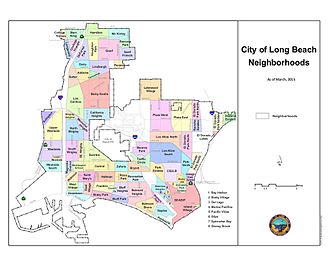
LB Neighborhoods.jpg - Nobody1231234

Race and ethnicity- Long Beach (4982010932).png - ויקיג'אנקי

Long Beach City Council District Map.jpg - Bustamaton100

Long Beach, California 1933.jpg - Marsonmars
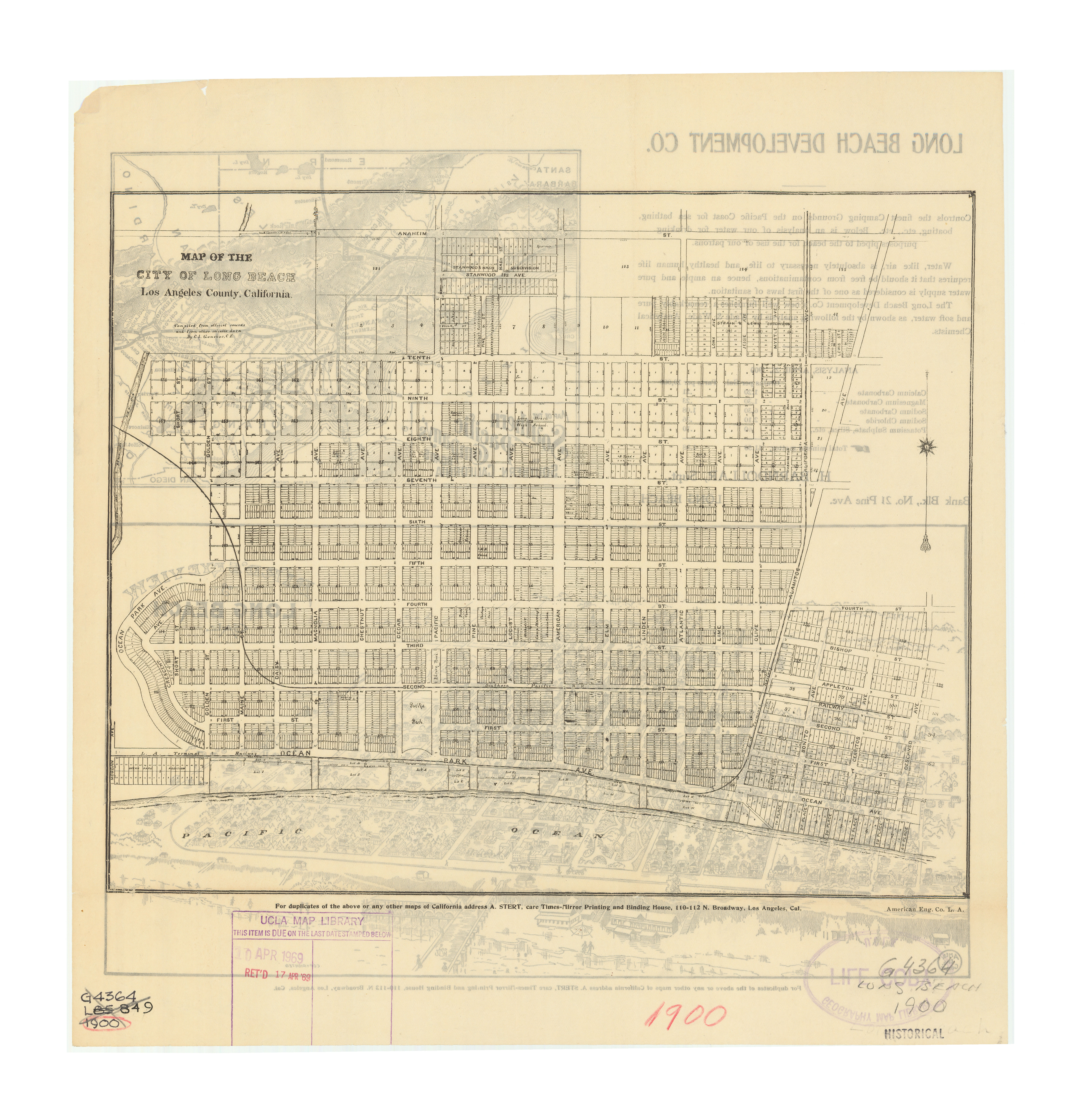
Long Beach map, 1900, Henry J. Bruman Map Collection.jpg - OceanBoulevard

Long Beach, CA.png - Winston Samuel

Long Beach map A 1941 from FWP's American Guide Los Angeles a guide to the city and its environs 07.png - Jengod

Los Angeles Harbor map 1941 from FWP's American Guide Los Angeles a guide to the city and its environs 10.png - Jengod

Oil1969extent.jpg - AnonMoos

FMIB 34261 Map of Alamitos Bay Cal.jpeg - BMacZeroBot

Long Beach map B 1941 from FWP's American Guide Los Angeles a guide to the city and its environs 06.png - Jengod
California US Congressional District 47 (since 2013).tif - 7partparadigm

Race and ethnicity 2010- Long Beach (5560461606).png - WhisperToMe