Wikimedi'Òc
Modes d'emploi

Cet album fait partie des albums
Cet album photos contient les sous-albums suivants :


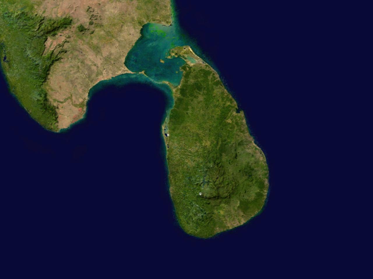
Sri Lanka 80.19386E 7.93007N.jpg - Rex
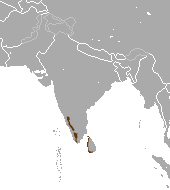
Malabar trogon map.png - Shyamal

Cotes-Inde du Sud.png - Korrigan

Pandya Kingdom (south India).png - Ouṃkāra

Tamil Nadu topo deutsch mit Gebirgen.png - Jungpionier

India Sri Lanka Locator.png - Calliopejen1

Karikala territories.png - OgreBot
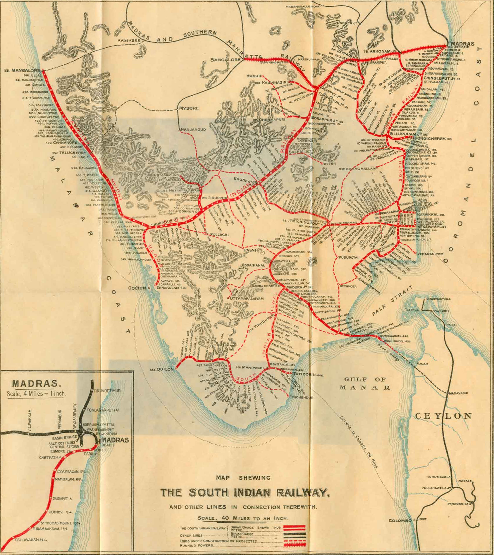
60The South Indian Railway.jpg - Wuselig
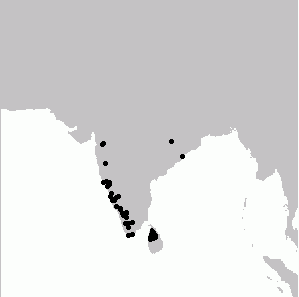
Indian Brown Mongoose area.png - Chermundy
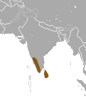
Stripe-necked Mongoose area.png - Chermundy

SouthIndia1704SubrahCIA2001.jpg - File Upload Bot (Magnus Manske)
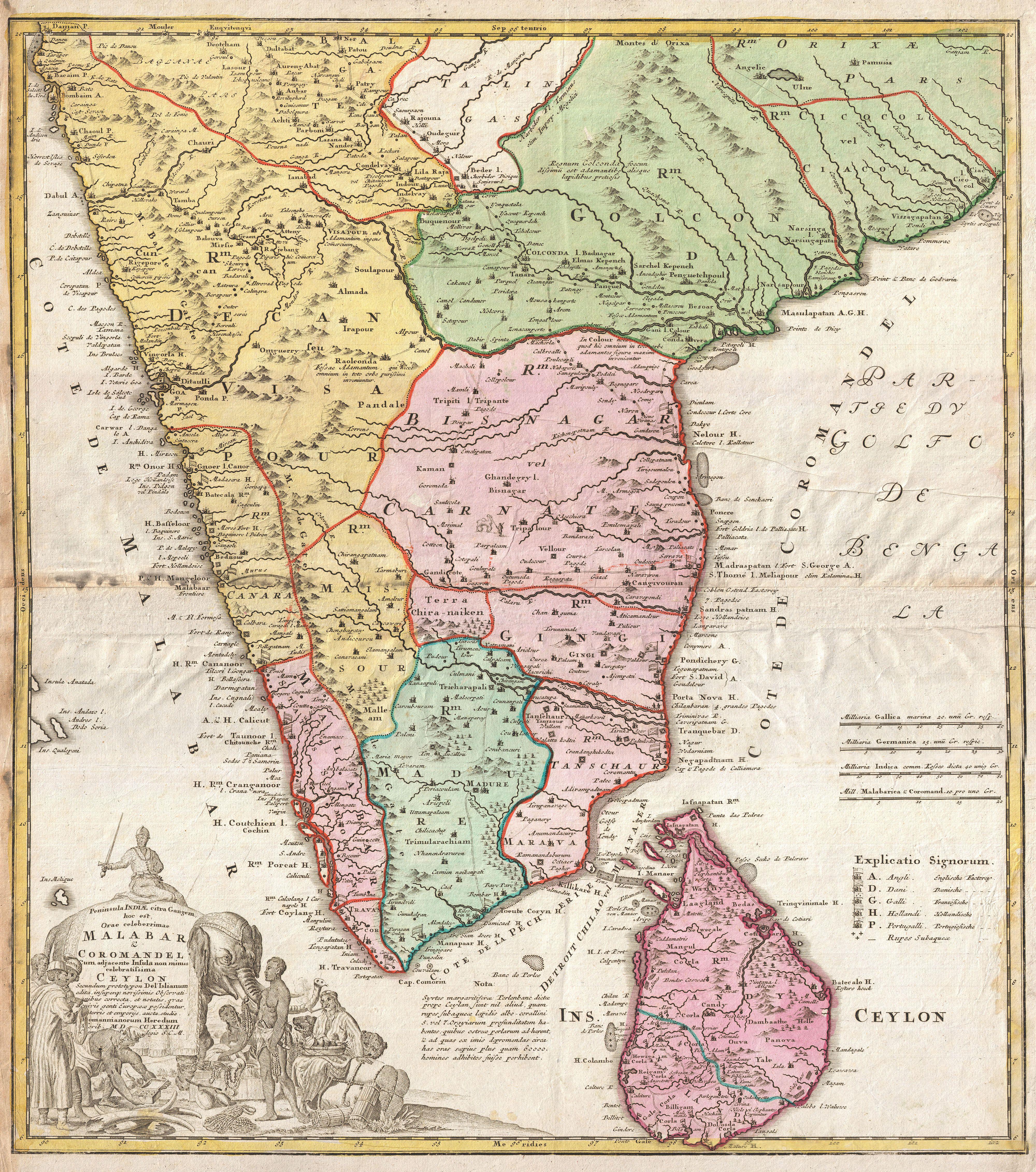
1733 Homann Heirs Map of India - Geographicus - India-homannheirs-1733.jpg - BotMultichillT
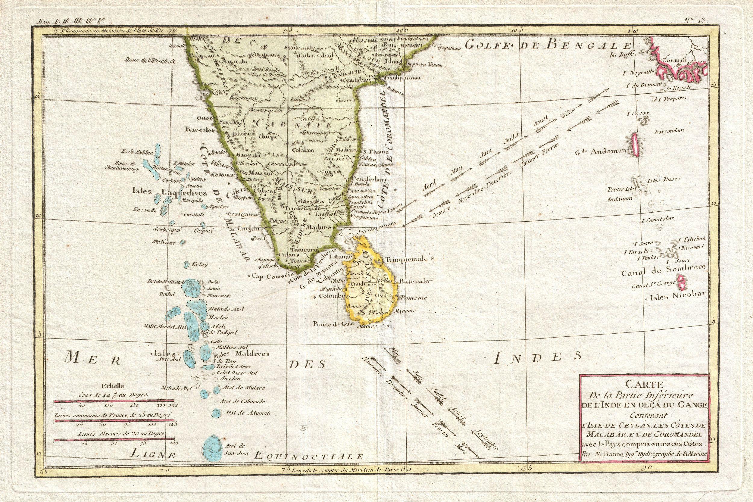
1780 Bonne Map of Southern India, Ceylon, and the Maldives - Geographicus - IndiaSouth-bonne-1780.jpg - BotMultichillT

1780 Raynal and Bonne Map of Southern India - Geographicus - Indes-bonne-1780.jpg - BotMultichillT

1814 Thomson Map of India w-Ganges - Geographicus - Hindoostan-t-1814.jpg - BotMultichillT

1775 Mannevillette Map of Southern India and Ceylon or Sri Lanka - Geographicus - CeylonIndia-mannevillette-1775.jpg - BotMultichillT

1768 'The East Indies, with the Roads.' by Thomas Jefferys, Geographer to the King.jpg - Ficusindica

Tamil Nadu and Kerala Openstreetmap Atlas.png - Planemad

India, distribution of languages, 1893.jpg - Yann

India in 1893, geological features.jpg - Shyamal

Sphenomorphus dussumieri distribution (IUCN).png - Rbrausse

Sphenomorphus dussumieri distribution (RDB).png - Rbrausse

Calotes ellioti distribution.png - Rbrausse

Trimeresurus gramineus distribution.png - Rbrausse

India map 1500.jpg - Shyamal

Old map of India, from the British Library.jpg - Yann

The Maldiva Islands-Captain Horsburgh-1814.png - Xufanc

Distribution of Simotes arnensis (1886).jpg - Nizil Shah

India-Sri Lanka maritime boundary.svg - AntanO

Map1880s.jpg - శ్రీధర్ బబు

Plate 35. Sect. XIV- Travancore, Trichinopoli and Ceylon from maps of constabled 1893 hand atlas.jpg - శ్రీధర్ బబు

ImperioPandya1251-1283AD.svg - Rowanwindwhistler

Map of india.jpg - Sreelakshmi M

Rama’s route from Lanka back to Ayodhya.jpg - Marvelcanon1

From a map by J. H. Coulton, published in Coulton's Atlas of the World, 1856.jpg - Baddu676

The Coromandel Coast and Ceylon, by an unidentified cartographer, c.1790.jpg - Baddu676

*The Palk Strait and the Gulf of Manaar, from a map by SDUK, 1831*.jpg - Baddu676

Coromandel, *From James Wyld's "Atlas of the World," 1853*.jpg - Baddu676

This map of the southernmost part of the Coromandel coast, published by J. Bew, London, 1782, nicely supplements Bellin's coverage; here are very large scans of the lower half of the map.jpg - Baddu676

Bellin's view of the "Golfe de Bengal" and its shipping ports, including the Coromandel Coast, from Prevost, a German version.jpg - Baddu676