Wikimedi'Òc
Modes d'emploi

Cet album fait partie des albums
Cet album photos contient les sous-albums suivants :


Bergen Passaic 1872.jpg - ChrisRuvolo
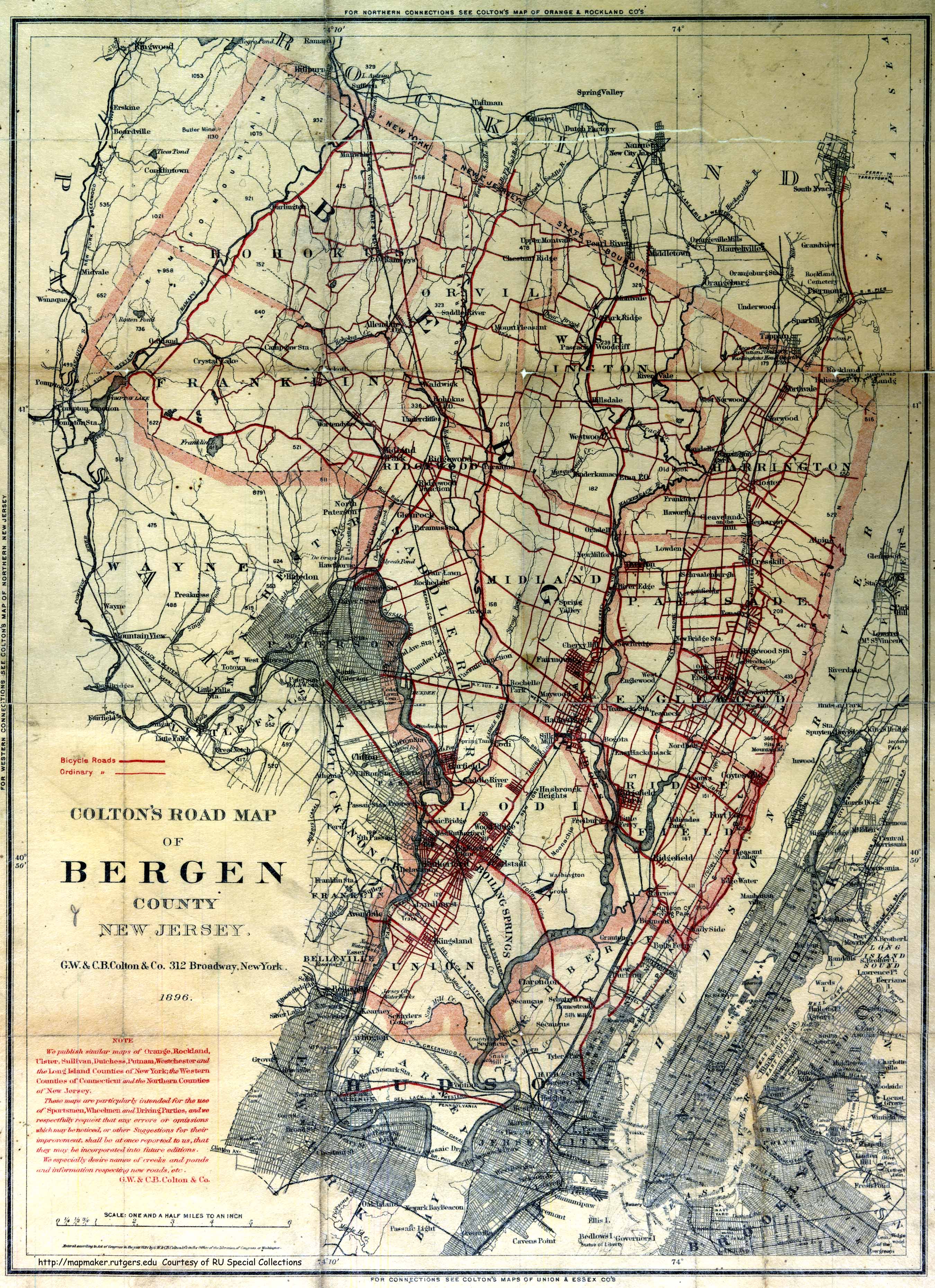
Bergen County1896.jpg - ChrisRuvolo
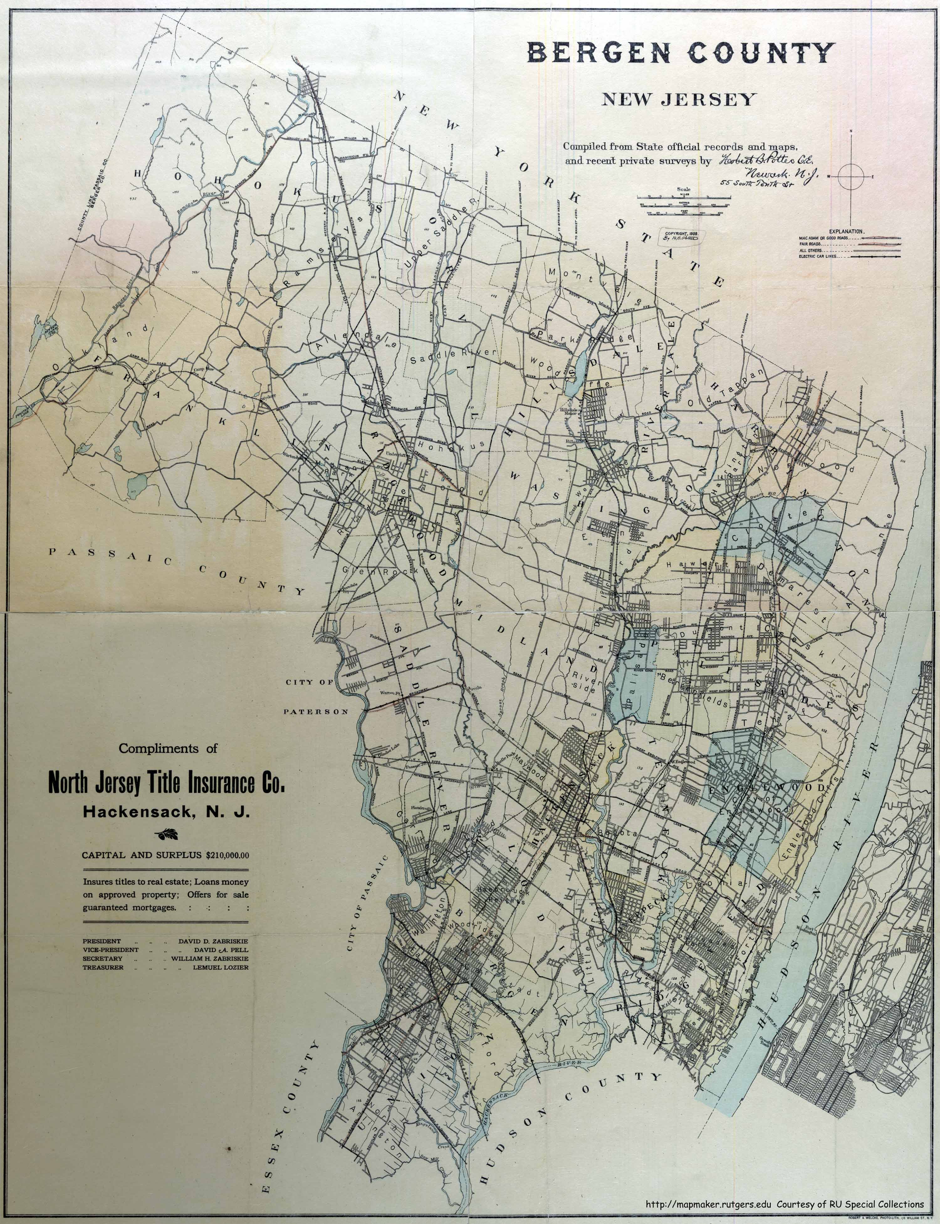
BergenCounty 1909.jpg - ChrisRuvolo

BergenCounty 1918.jpg - ChrisRuvolo

Bergen County, NJ municipalities labeled.png - ChrisRuvolo

Bergen County, NJ municipalities labeled.svg - ChrisRuvolo
Bergen County New Jersey.png - Leslie

Map of New Jersey highlighting Bergen County.svg - Nux

MapofMerritt.jpg - Rotatebot

KingsPondPark Map.png - Lithium6ion
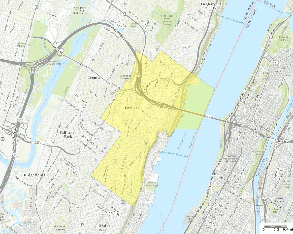
Census Bureau map of Fort Lee, New Jersey (2).gif - BurritoBazooka

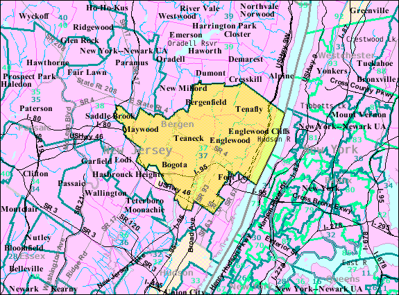
Location map of Bergen County, New Jersey.svg - Omnedon

Hackensack 1896.jpg - File Upload Bot (Magnus Manske)
Census Bureau map of New Jersey's 37th Legislative District.png - GifTagger

Bcslamerican.jpg - FastilyClone

Map of the counties of Bergen and Passaic, New Jersey - from actual surveys LOC 2011588009.jpg - Fæ

Bergen County, New Jersey LOC 87694285.jpg - Fæ
Sketch of the road from Paulus Hook and Hobocken to New Bridge. LOC gm72003607.tif - Fæ

1950 Census Enumeration District Maps - New Jersey (NJ) - Bergen County - Bergenfield - ED 2-5 to 21 - NARA - 23853025.jpg - US National Archives bot

1950 Census Enumeration District Maps - New Jersey (NJ) - Bergen County - Maywood - ED 2-369 to 374 - NARA - 23853069.jpg - US National Archives bot

1950 Census Enumeration District Maps - New Jersey (NJ) - Bergen County - Tenafly - ED 2-571 to 582 - NARA - 23853091.jpg - US National Archives bot

1950 Census Enumeration District Maps - New Jersey (NJ) - Burlington County - Bordentown - ED 3-6 to 11 - NARA - 23853101.jpg - US National Archives bot

North Manhattan Area Primary Level Division Map.png - 台北人
North Manhattan Area Blank Map.png - 台北人

North Manhattan Area Second Level Division Map.png - 台北人

North Manhattan Area Third Level Division Map.png - 台北人

N. NJ skyscrapers.png - Sagittarian Milky Way
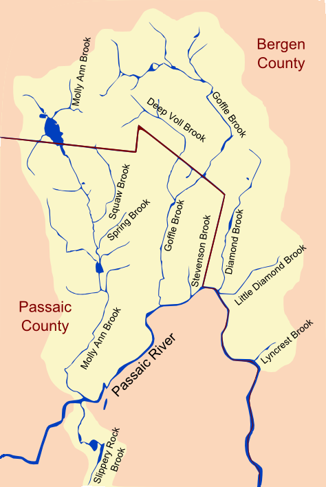
PassaicRiverNorthBend.png - Lithium6ion

HackensackUniversityMedicalCenter coverage.png - JRodz15

Coytesville NJ (1876 map).png - Djflem