Wikimedi'Òc
Modes d'emploi

Cet album fait partie des albums
Cet album photos contient les sous-albums suivants :


Ayer, Mass. LOC 75694549.tif - Fæ

Ayer, Mass. LOC 75694549.jpg - Fæ

1940 Census Enumeration District Maps - Massachusetts - Middlesex County - Ayer - ED 9-43, ED 9-44, ED 9-45, ED 9-46 - NARA - 5832398.jpg - US National Archives bot

Middlesex County Massachusetts incorporated and unincorporated areas Ayer highlighted.svg - ECTran71

Middlesex County Massachusetts incorporated and unincorporated areas Ayer (CDP) highlighted.svg - ECTran71

Roads and Waterways Town of Ayer - DPLA - 3e5814cb6ed39f386efc3e09b30ccac6.jpg - DPLA bot

Atlas of Middlesex County, Massachusetts, by Geo. H. Walker & Co., 1889, from the Digital Commonwealth - 109 commonwealth 1j92k2337 image access full.jpg - Daderot

Atlas of Middlesex County, Massachusetts, by Geo. H. Walker & Co., 1889, from the Digital Commonwealth - 110 commonwealth 1j92k2337 image access full.jpg - Daderot
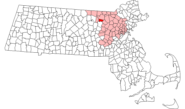
Ayer ma highlight.png - File Upload Bot (Petros63)

Bird's eye view map of Ayer, Massachusetts.jpg - Pi.1415926535

Ma towns Ayer.PNG - BD2412