Wikimedi'Òc
Modes d'emploi


Cet album fait partie des albums
Cet album photos contient les sous-albums suivants :


1871 Connecticut & Western.jpg - SPUI~commonswiki

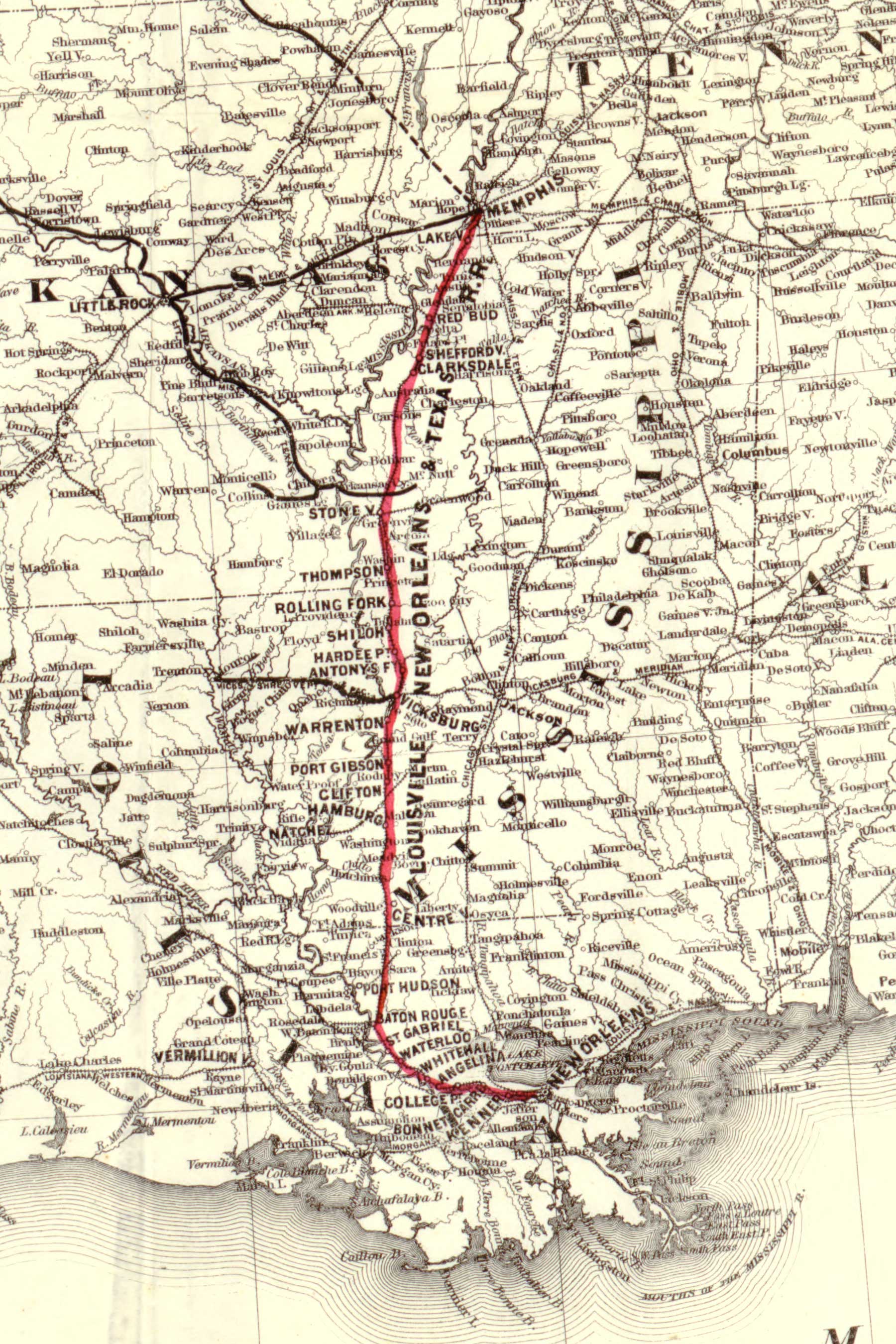
LNOT railroad detail.jpg - Kkmurray

1887 Norfolk and Western Map.jpg - Liesel

Cardiff-roane-area-map-tn1.gif - BrineStans

Puerto Rico departamentos 1886.jpg - Ratzer

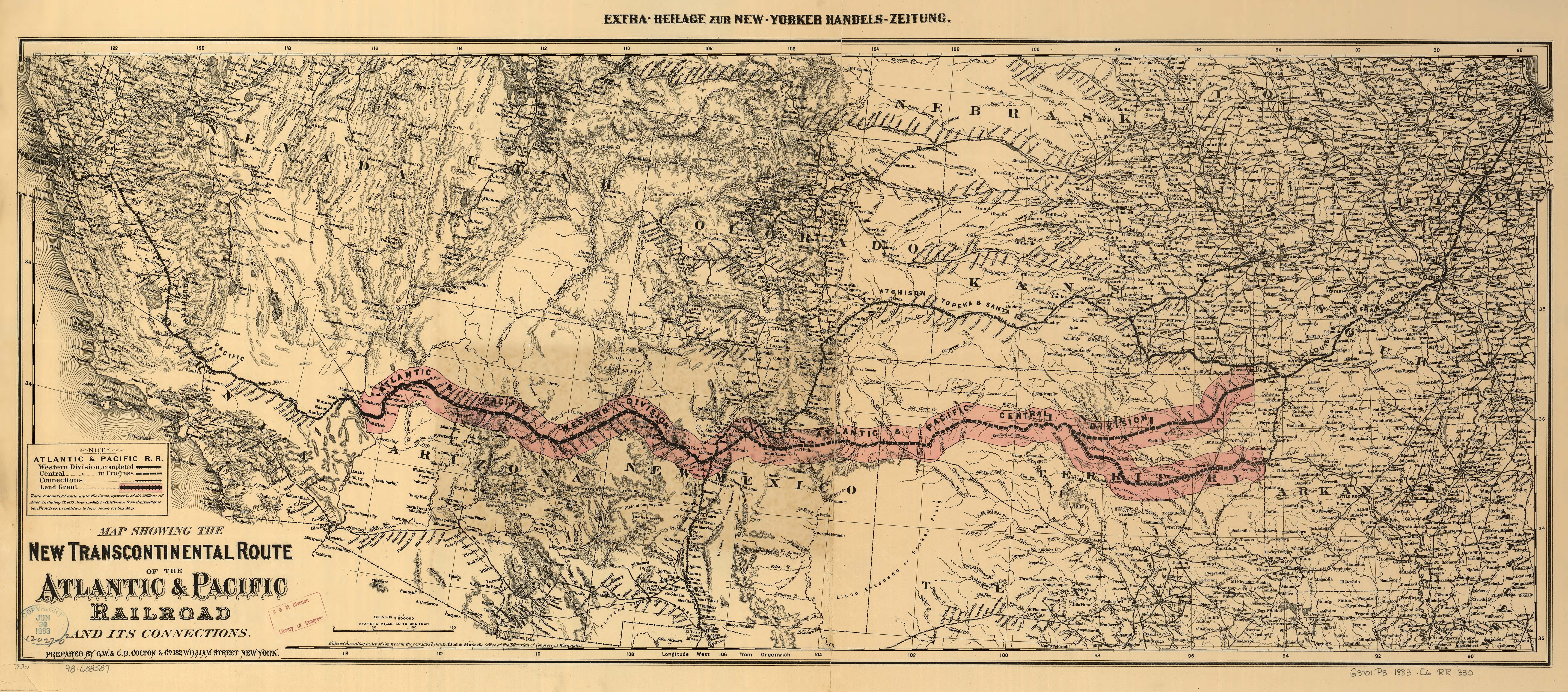
Atlantic & Pacific Railroad Map.jpg - BurtAlert

1882 map of Long Island Railroad.jpg - BurtAlert

G. Woolworth Coltons railroad, township & distance map of New England with adjacent portions of New York, Canada & New Brunswick (9136602513).jpg - File Upload Bot (Magnus Manske)

Coltons Massachusetts and Rhode Island (8346882216).jpg - File Upload Bot (Magnus Manske)

Map showing the telegraph lines in operation, under contract, and contemplated, to complete the circuit of the globe (7557410992).jpg - File Upload Bot (Magnus Manske)

Colton, The Environs of Paris, 1869 - David Rumsey.jpg - Paris 16

Colton, The Environs of Paris, 1886 - David Rumsey.jpg - Paris 16

Colton, The Environs of Paris, 1874 - David Rumsey.jpg - Paris 16

Colton, The Environs of Paris, 1866 - David Rumsey.jpg - Paris 16

1876 Chicago Map by Colton & Co.jpg - Scewing

Colton-westchester-map.jpg - FastilyClone

Map Showing the Norfolk - Wilmington and Charleston Railroad in 1891.jpg - James Shelton32

Railroad map of the United States to accompany the "Commercial travellers guide book" (NYPL b15829349-1952948).jpg - Fæ

Colton's new sectional map of the state of Kansas - compiled from the United States surveys & other authentic sources (NYPL b16126957-1952928).jpg - Fæ

Map Showing the Norfolk - Wilmington and Charleston Railroad in 1891 Richmond and Petersburg.jpg - James Shelton32

Colton's map of the territory of Alaska - (Russian America) ceded by Russia to the United States (13972186306).jpg - Fæ

Map showing the Atchison, Topeka and Santa Fe railroad system - with its connections (10139229824).jpg - Fæ

Detail map of the Atlantic and Pacific Rail Road from the Mississippi River to the Pacific Ocean (10208126334).jpg - Ww2censor

Colton's new railroad map of the United States and Canada (10210584764).jpg - Fæ

Traveler's rail road map of the United States to accompany "Boston to Washington" Riverside Series Centennial Guides (10210704074).jpg - Fæ

Map showing the Burlington, Cedar Rapids and Minnesota Railway and its connections (10210704914).jpg - Ww2censor

Maps showing the Toledo, Delphos and Burlington Railroad and its connections (10210905313).jpg - Fæ

Colton's general map of the United States - showing the railroad routes across the continent (10841389813).jpg - Fæ

Nuevo mapa de Mexico (14959052581).jpg - Ser Amantio di Nicolao

Colton's new topographical map of the states of Virginia, West Virginia, Maryland & Delaware and portions of other adjoining states (14723441001).jpg - Ser Amantio di Nicolao

A map showing the Atlantic Mississippi & Ohio R.R. and its connections from Norfolk to Cumberland Gap via Bristol.jpg - James Shelton32

Map Showing the Norfolk - Wilmington and Charleston Railroad in 1891 Cropped to show the Petersburg Railroad.jpg - James Shelton32

Colton's sectional & topographical map of Colorado (NBY 19345).jpg - Fæ

Holt's New map of Wyoming (NBY 15552).jpg - Fæ

Map of the Territory of Montana with portions of the adjoining territories (NBY 15515).jpg - Fæ

Map of the territory of Montana with portions of the adjoining territories (NBY 19588).jpg - Fæ

New map of the state of Texas, as it is in 1874 (NBY 19351).jpg - Fæ

New map of the state of Texas, as it is in 1874 (NBY 19352).jpg - Fæ

Colton's new map of the state of Texas - the Indian Territory and adjoining portions of New Mexico, Louisiana, and Arkansas LOC 2001622092.jpg - Fæ

Colton's new township railroad map of New York with parts of adjoining states & Canada. LOC 98688526.jpg - Fæ

Map showing the Southern Maryland Railroad and its connections - north, south, east, and west LOC 2005626727.jpg - Fæ

Langtree's new sectional map of the state of Arkansas LOC 2009579453.jpg - Fæ
Colton's Brazil with Guayana. LOC 2003627063.tif - Fæ

Colton's Brazil with Guayana. LOC 2003627063.jpg - Fæ
Mapa topográfico de la isla de Puerto Rico. LOC 98687140.tif - Fæ

Mapa topográfico de la isla de Puerto Rico. LOC 98687140.jpg - Fæ

Colton's New Mexico and Arizona. LOC 98687201.jpg - Fæ
Georgetown and the city of Washington - the capital of the United States of America. LOC 88693474.tif - Fæ

Georgetown and the city of Washington - the capital of the United States of America. LOC 88693474.jpg - Fæ

Mapa topográfico de la isla de Puerto Rico retusche.jpg - Lämpel

Land of the Veda - India map.jpg - Bob Burkhardt

HTC map 1867.png - Oldsanfelipe
Colton's South Carolina LOC 78696479.tif - Fæ
Central Asia - LOC 2013593027.tif - Fæ

Central Asia - LOC 2013593027.jpg - Fæ

Colton's railroad map of part of the United States south of the 37th parallel embracing the country between the Atlantic Ocean and the 96th meridian of longitude. LOC 98688413.jpg - Fæ

Nevada Central Railroad 1883.jpg - FAHansson

Eureka & Palisade Railroad 1883.jpg - FAHansson

Carson & Colorado RR 1883.jpg - FAHansson

Colton's railroad map (intermediate size) of the United States reduced from "Colton's railroad and commercial map of the United States." LOC 98688335.jpg - Fæ

Map of the State of North Carolina- With Portions of Adjoining States - DPLA - 4ef6736245d9ee942ac0ba9ff4bb4ee1 (page 4).jpg - DPLA bot

Map of the Mosquito Shore, Nicaragua, Central America.png - Zoozaz1

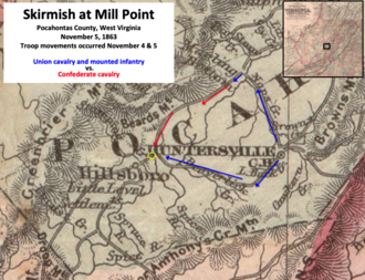
Skirmish at Mill Point WV.png - TwoScarsUp

Skirmish at Mill Point WV Step 2.png - TwoScarsUp

Map of Tallahassee Railroad.png - Donald Albury

Points of Interest in Third Winchester.png - TwoScarsUp

Nixon-Rancho-Clear Fork, Texas area in 1873.jpg - TexasDirtRoad

Prelude to Battle of Cove Mountain.png - TwoScarsUp
1893c-enlarged-Atoka.PNG - SBohrman

1869 Map of the Saranac Lakes, prepared from Dr. Ely's large pocket map of the New York wilderness for D.L. Fouquet & Son by G.W & C.B. Colton & Co., from the Digital Commonwealth - commonwealth 4m90f184s.jpg - Daderot

1881 Maps showing the Toledo, Delphos & Burlington Railroad and its connections, by G.W. & C.B. Colton & Co., from the Digital Commonwealth - commonwealth cj82kp19c.jpg - Daderot

1860s Detail map of the Atlantic & Pacific Rail Road from the Mississippi River to the Pacific Ocean, by G.W. & C.B. Colton & Co, from the Digital Commonwealth - commonwealth cj82kn772.jpg - Daderot

1871 Map showing the telegraph lines in operation, under contract, and contemplated, to complete the circuit of the globe, by J. H. Colton & Co, G. W. & C. B. Colton & Co, from the Digital Commonwealth - commonwealth 7h149w171.jpg - Daderot

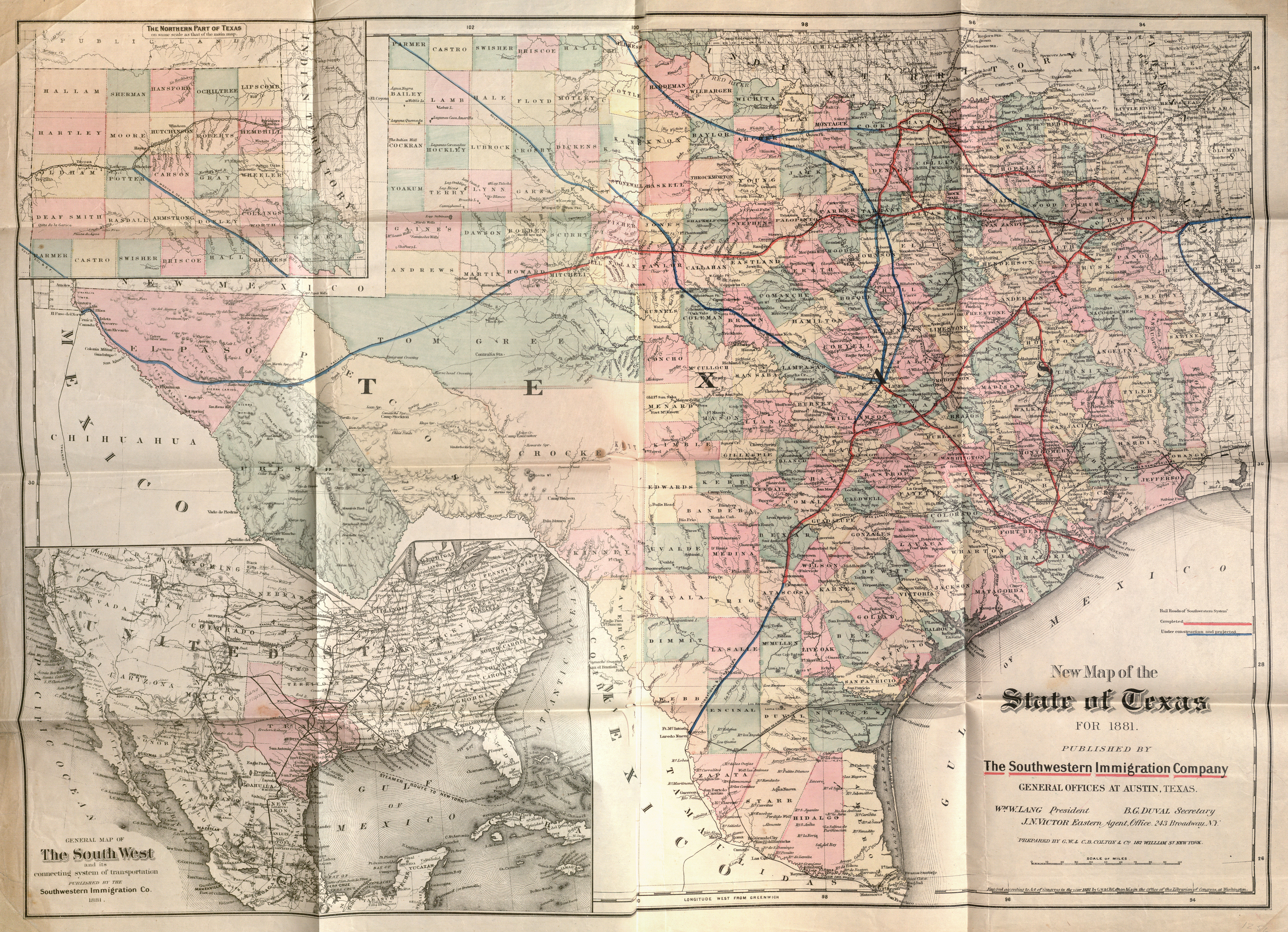
Colton-Southwestern Immigration Co. New Map of Texas 1881 UTA.jpg - Michael Barera

G. W. & C. B. Colton & Co. True Southern Pacific Railway c. 1881 UTA.jpg - Michael Barera

Mapa topografico de la isla de Puerto-Rico - btv1b53022843j.jpg - Gzen92Bot

Map showing the line of the Rockford, Rock Island, & Saint Louis R.R. and its connections. G.W. & C.B. Colton & Co. 1868.jpg - Animalparty

Colton's Palestine (FL37821529 3923184).jpg - Geagea