Wikimedi'Òc
Modes d'emploi

Cet album fait partie des albums


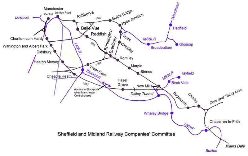
Midland to Manchester.jpg - G-13114

Geologyofglossop.svg - ClemRutter

Wetton sketch plan.gif - Robert of Ramsor

Peak District National Park.svg - AxG
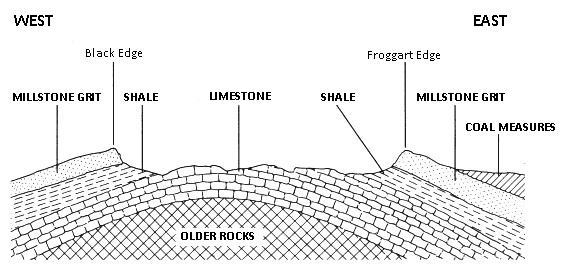
Peak District Cross Section.gif - Schumi555~commonswiki

Peak District National Park UK location map.svg - Nilfanion
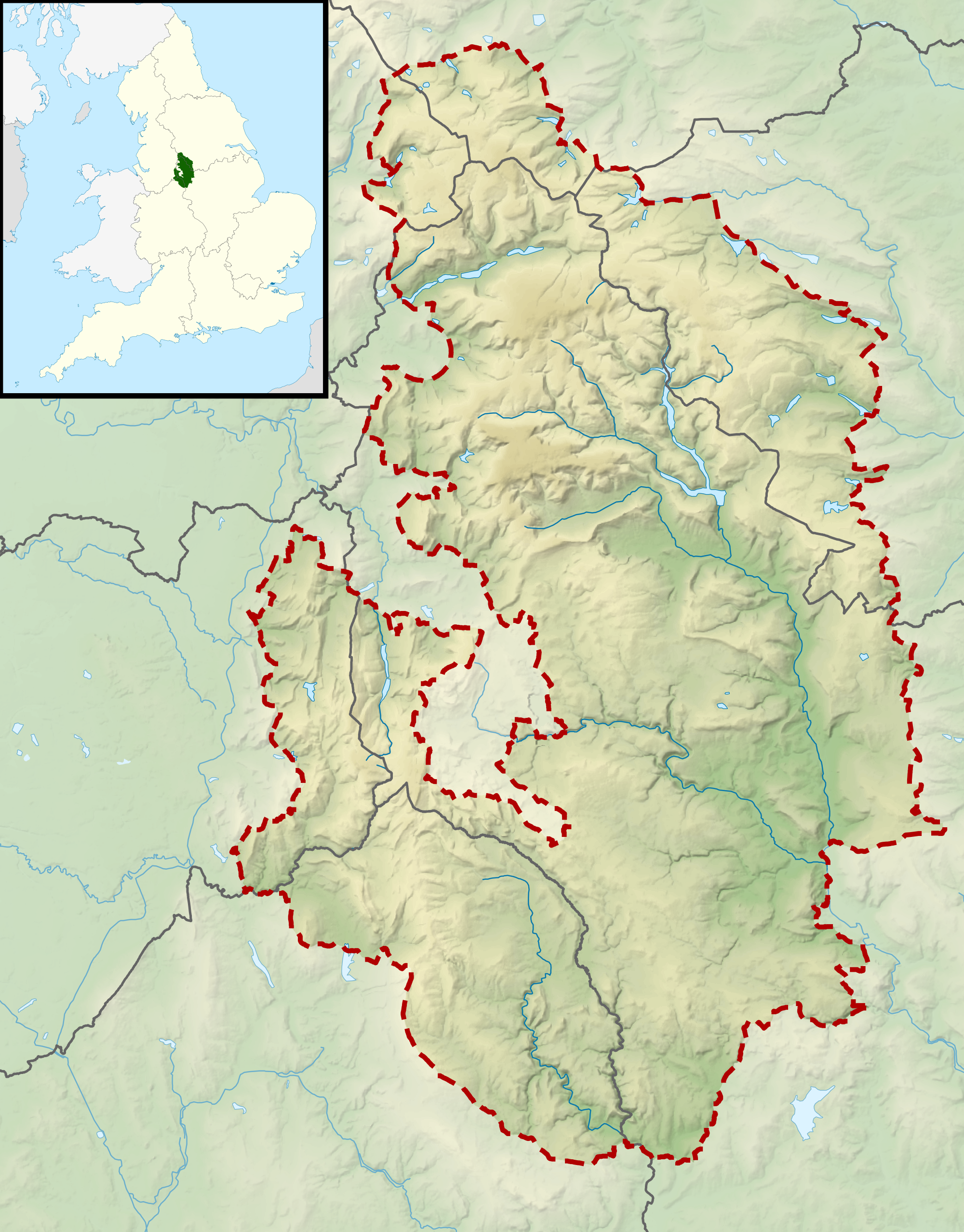
Peak District National Park UK relief location map.png - Nilfanion

Peak District National Park map.svg - Hogweard

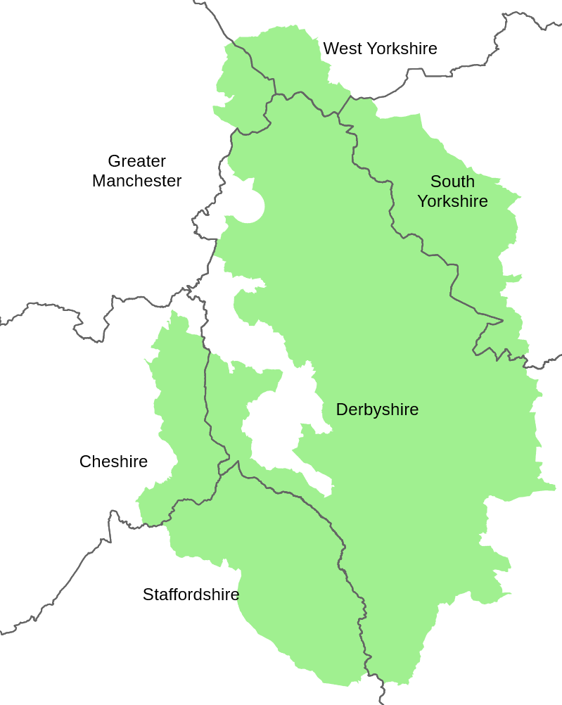
Map of Derbyshire boundaries plus Peak District.jpg - Nick Moyes

Peak District National Park tunnels.svg - Rcsprinter123

Peak District National Parks.png - OgreBot

The Peak District, One-inch Ordnance Survey Tourist Map, published 1963.jpg - Kognos

Ordnance Survey One-Inch Sheet 110 Stoke-on-Trent, Published 1962.jpg - Kognos

Ordnance Survey One-Inch Sheet 111 Buxton & Matlock, Published 1962.jpg - Kognos

Ordnance Survey One-Inch Sheet 111 Buxton and Matlock, Published 1947.jpg - Kognos

Ordnance Survey One-Inch Sheet 110 Stoke on Trent, Published 1947.jpg - Kognos

Geology Map of the Peak District.png - Douglal

Ordnance Survey One-Inch Tourist Map of the Peak District, Published 1924.jpg - Kognos

Rivers of the Peak District.png - Douglal

Towns of the Peak District.png - Douglal
Peak District National Park - Counties Map.png - Douglal
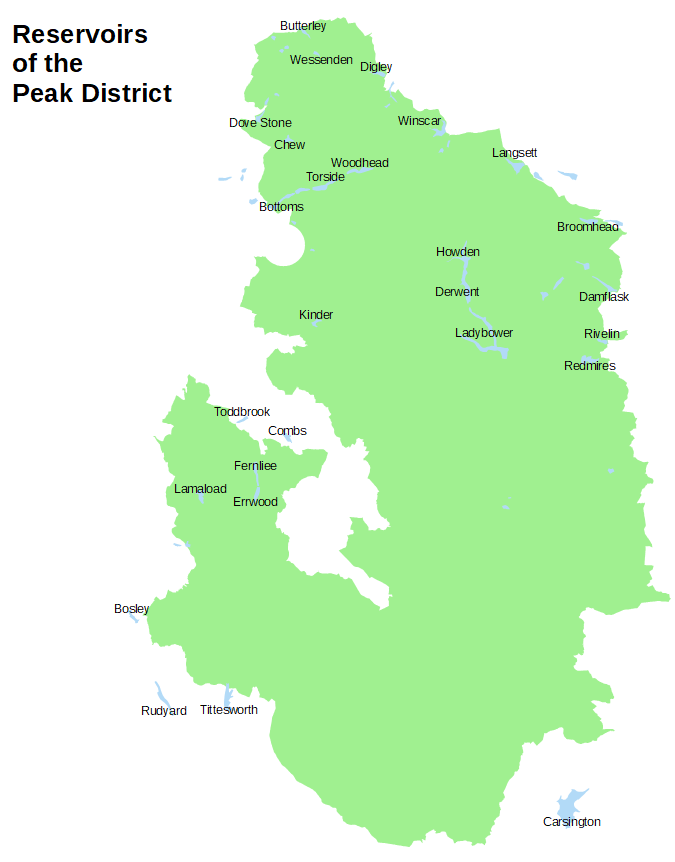
Reservoirs of the Peak District.png - Douglal

Tunnels in the Peak District National Park.svg - Hogweard

Geology of Curbar Edge.jpg - LIUCMarco7

Ordnance Survey Outdoor Leisure Map of the Dark Peak, Published 1972.jpg - Kognos

Rivers of the Peak District.svg - Rcsprinter123