Wikimedi'Òc
Modes d'emploi

Cet album fait partie des albums
Cet album photos contient les sous-albums suivants :


Litography press with map of Moosburg 01.jpg - Chris 73

Lithography press with map of Moosburg 02.jpg - Chris 73

Litography press with map of Moosburg 03.jpg - Chris 73

Kartograph.jpg - Sanandros
Woking-on-map.jpg - New Map of Tbilisi

US Army 51146 Mapmaker deploys despite hardship.jpg - BotMultichillT
Staff Sergeant Blake Ellis, Sheel Creek, Tennessee, inking in the pencil tracings. Culture, Hydrography, and Contours... - NARA - 531175.tif - US National Archives bot

Interseccion de dos capas.jpg - Samicast

"Enlist in 472nd Engineers. Surveying, mapping reproducing military and aerial maps. Surveyor- Topographers- Computers- - NARA - 512490.jpg - US National Archives bot
Ortofotoscopi T-64.jpg - Pixuflin
Dynazoom - Flickr - The Central Intelligence Agency.jpg - Slick-o-bot

ONL (1887) 1.258 - The Scaffolding and Observatory on St Paul's in 1848.jpg - Jheald

Assembling-a-global-database-of-malaria-parasite-prevalence-for-the-Malaria-Atlas-Project-1475-2875-6-17-1.jpg - Recitation-bot
Map making, circa 1943 (6049891451).jpg - Tm

The photographic history of the Civil War - thousands of scenes photographed 1861-65, with text by many special authorities (1911) (14739935416).jpg - Fæ

RK 1701 1276 Fadenzähler.jpg - Reinhard Kraasch

RK 1701 1283 Fadenzähler.jpg - Reinhard Kraasch

RK 1701 1288 Lupe.jpg - Reinhard Kraasch
RK 1701 1337 Gisalnapf.jpg - Reinhard Kraasch

RK 1701 1338 Gisalnapf.jpg - Reinhard Kraasch

Operation of stereo-plotting device in mapmaking.png - ВоенТех

Litography press with map of Moosburg 01 (cropped).jpg - Traveler100

Een medewerkers bezig met het reproduceren van een kaart, Bestanddeelnr 254-5202.jpg - Mr.Nostalgic

Een medewerker bezig met het reproduceren van een kaart, Bestanddeelnr 254-5200.jpg - Mr.Nostalgic
Map-marker (1).png - Beecharme

Map-Making Training (BOND 0576).jpg - BMacZeroBot

Map-Making Training (BOND 0586).jpg - BMacZeroBot
Pix4Dmapper photogrammetry software.png - Mpampismate
Map making workshop - from Wikidata to interactive off-Wiki maps in three steps (Wikimania 18-08-2019).pdf - OlafJanssen
Map making workshop - from Wikidata to interactive off-Wiki maps in three steps (Wiki Techstorm 23-11-2019).pdf - OlafJanssen

Personnel - Groups - Pigeon Carrier Service, Photography Units, Telephone Units, Telegraph Units (165-WW-451D-11) - DPLA - 621b4c246a41630d85f72de9eadf5b21.jpg - DPLA bot

E2070 - DPLA - 68617433cd7758be8031c5aeb2a273c4.jpg - DPLA bot

E2100 - DPLA - 7e89a7b4f93b794b54bf44a7b1ebd543.jpg - DPLA bot

E2080 - DPLA - 8780b68874d10ad852c6c0dbea269211.jpg - DPLA bot

E2093 - DPLA - 4b7a1627774eab646f4c6046f6c49107.jpg - DPLA bot

AK Signing The Red Atlas 2017.jpg - Cantiana

George H. Walker & Company, Lithographers, road maps - from, Arlington City Directory (IA arlingtoncitydir1896arli) (page 106 crop).jpg - Ooligan

Statens Kartverk Hønefoss - Aneroidbarometer, stigningsmåler og nivellerpendel fra 1800-tallet (kartmuseet).jpg - Ssu
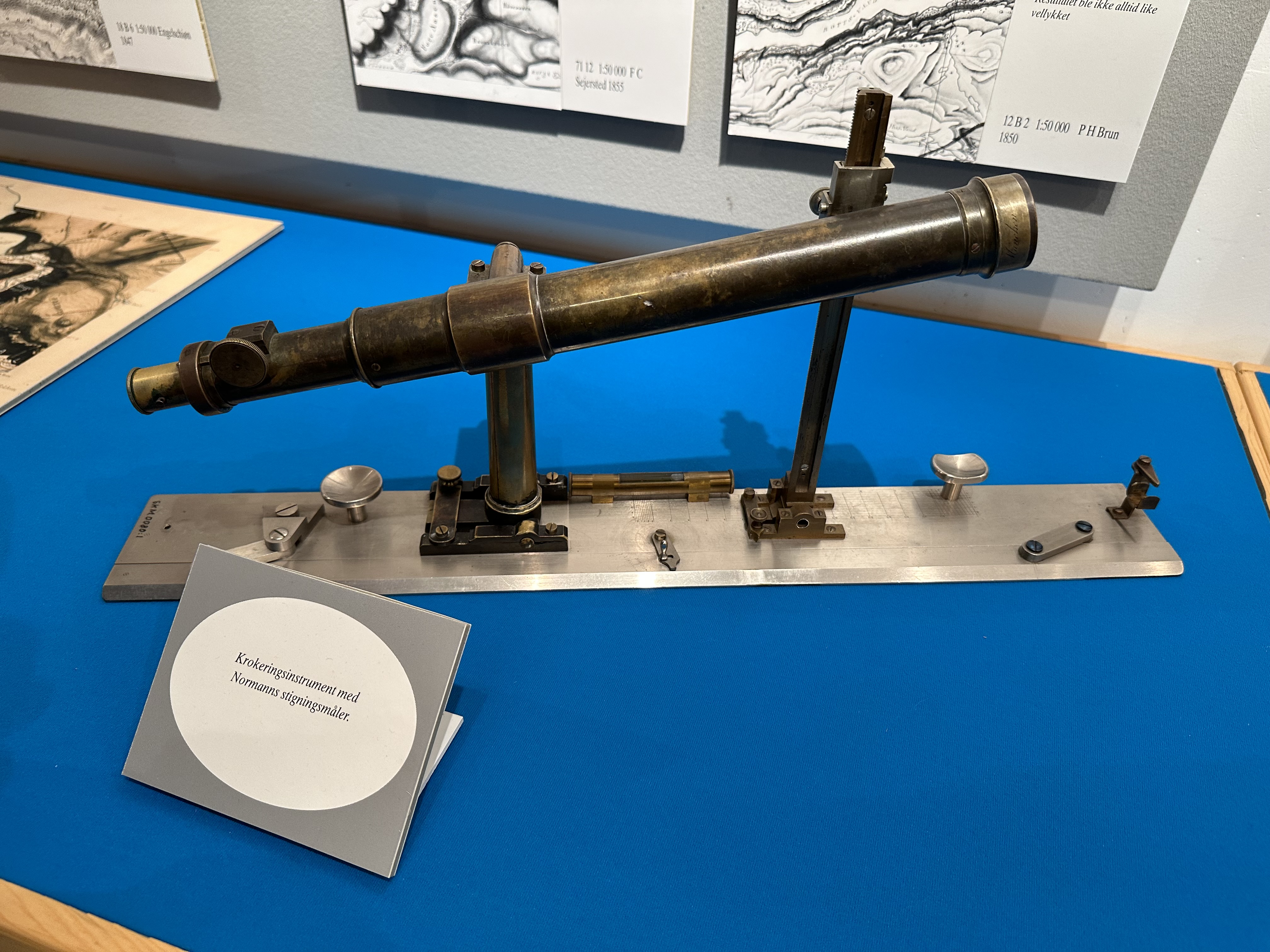
Statens Kartverk Hønefoss - Krokeringsinstrument ved Normanns stigningsmåler (kartmuseet).jpg - Ssu

Statens Kartverk Hønefoss - Trigonomiske signaler fra 1860-årene (kartmuseet).jpg - Ssu

Statens Kartverk Hønefoss - AGA geodimeter 14A (kartmuseet).jpg - Ssu

Corpo Truppe Volontarie 23.jpg - LBM1948
Corpo Truppe Volontarie 22.jpg - LBM1948
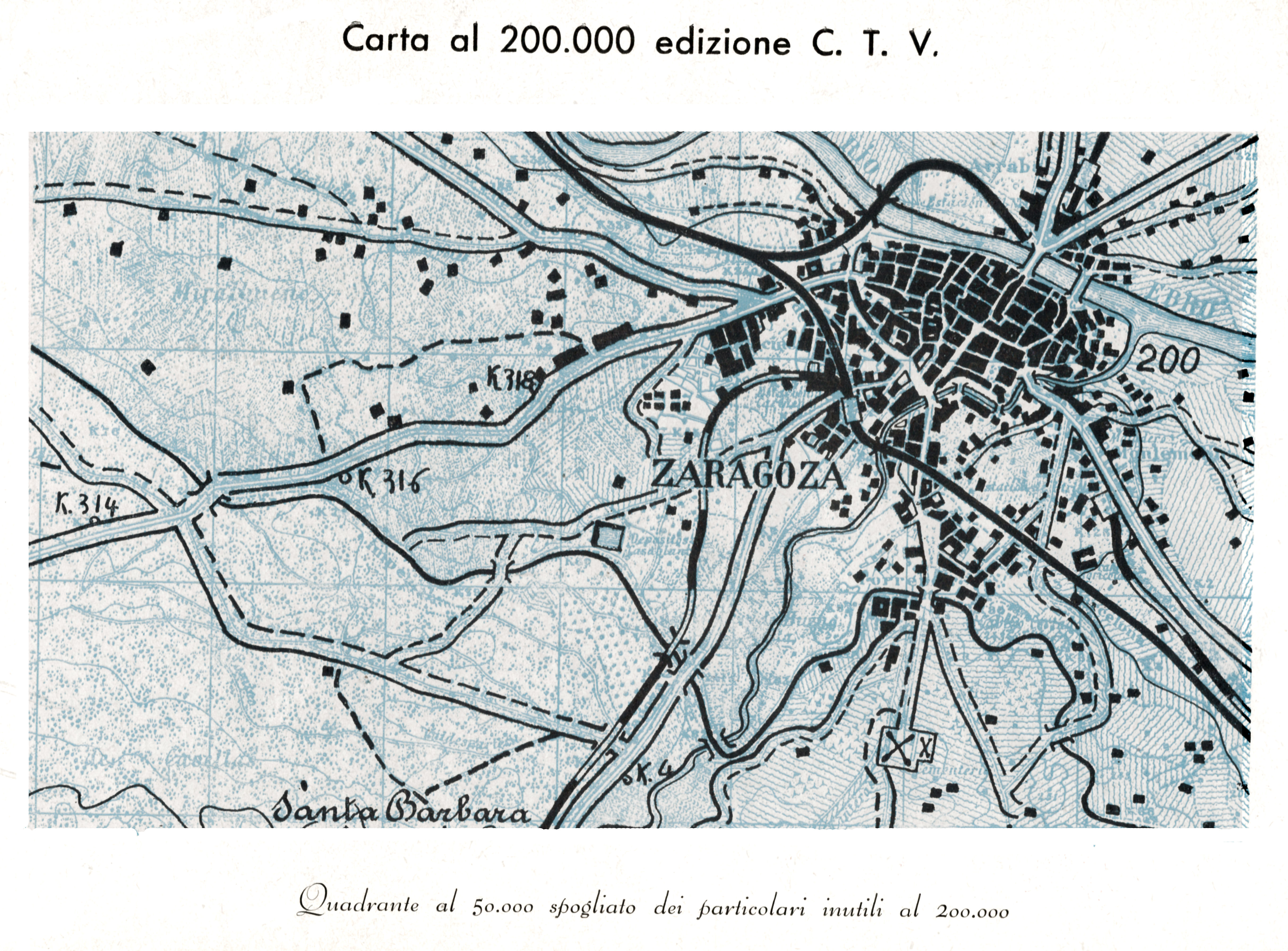
Corpo Truppe Volontarie 25.jpg - LBM1948

Corpo Truppe Volontarie 26.jpg - LBM1948

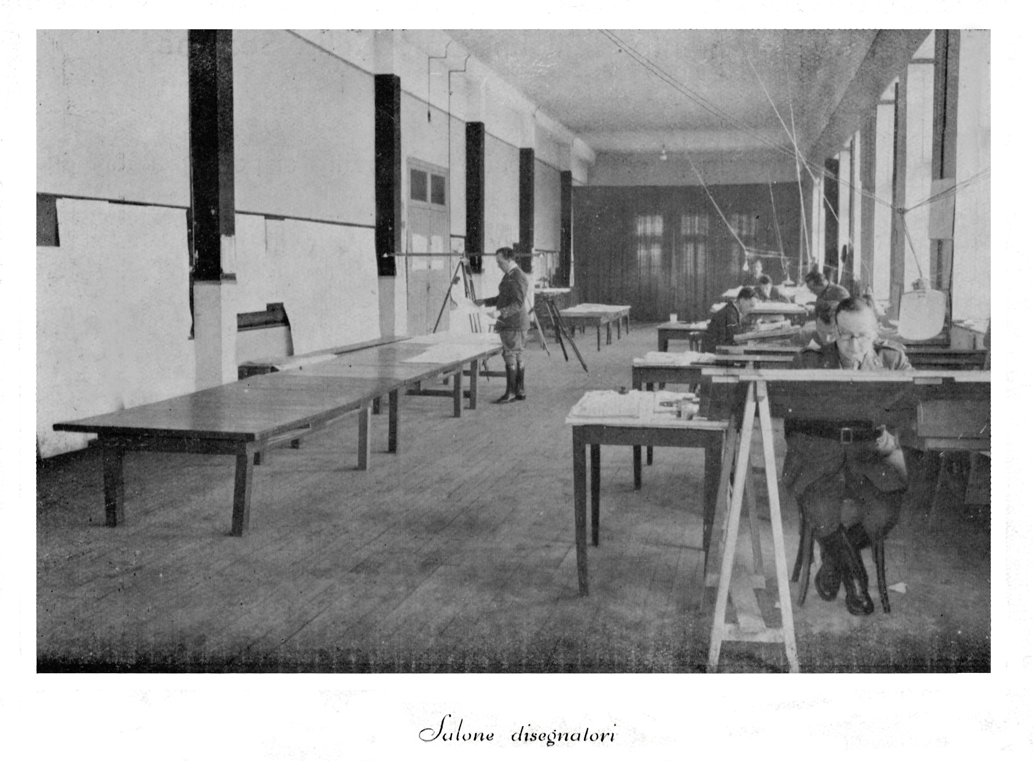
Corpo Truppe Volontarie 27.jpg - LBM1948

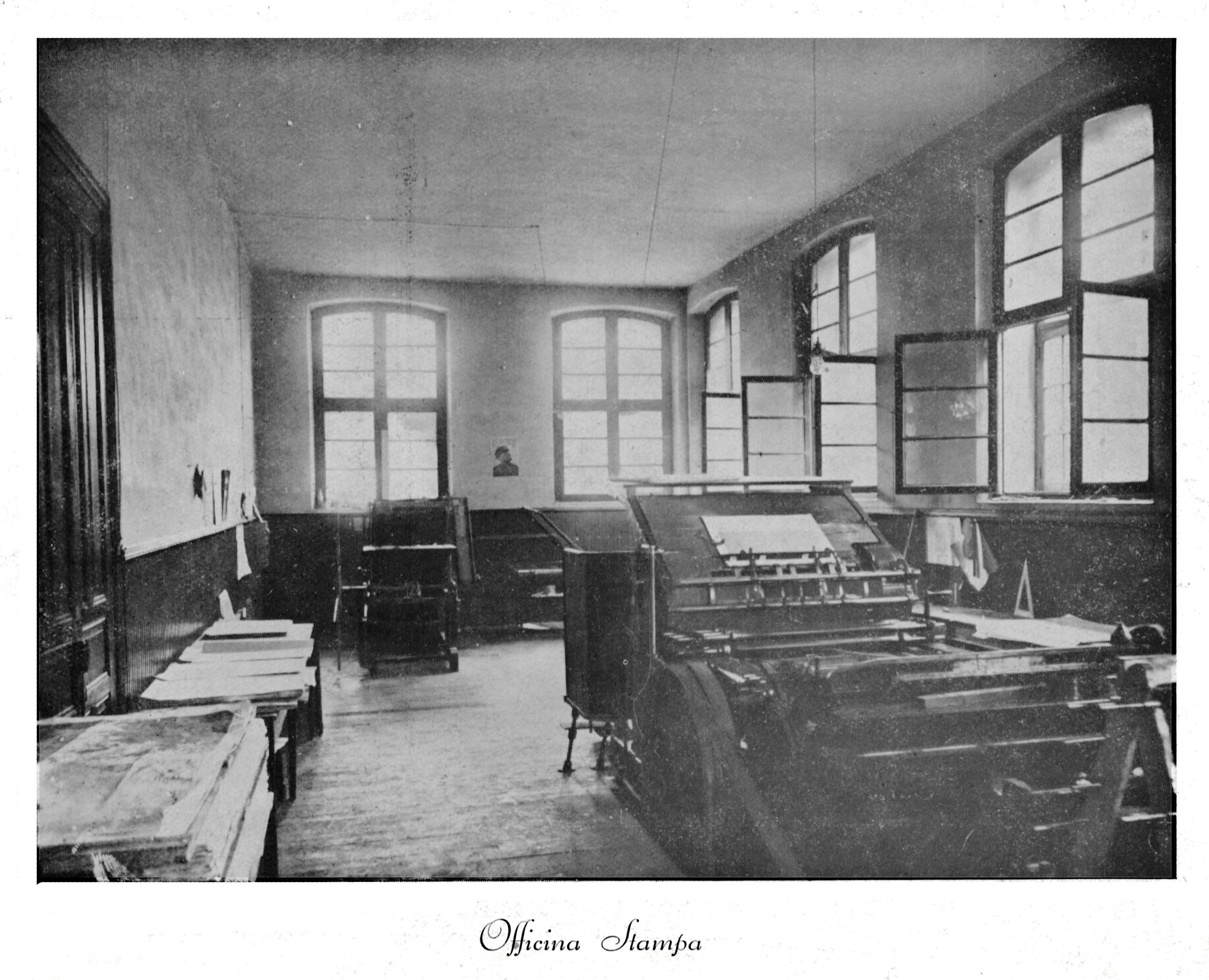
Corpo Truppe Volontarie 28.jpg - LBM1948

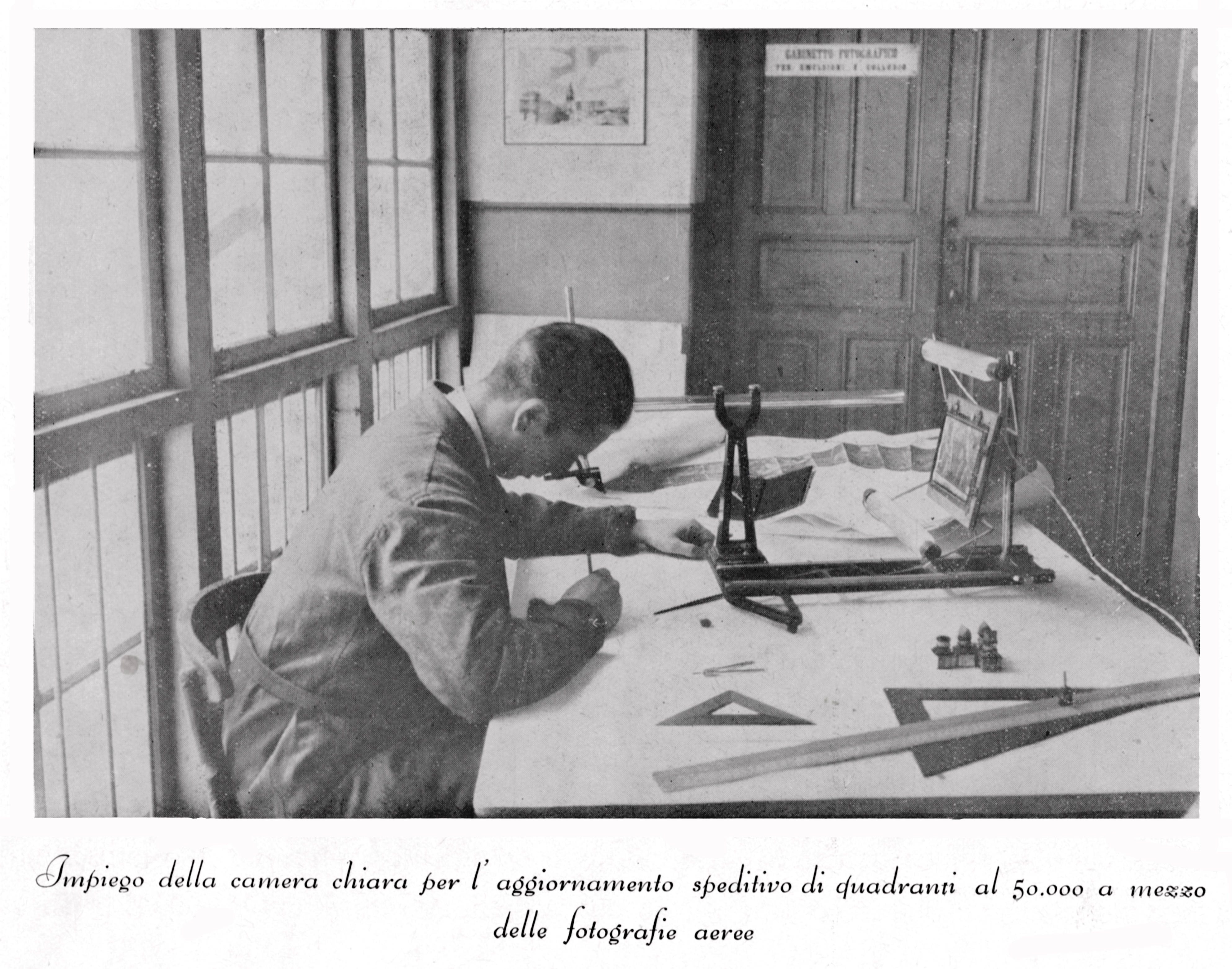
Corpo Truppe Volontarie 29.jpg - LBM1948

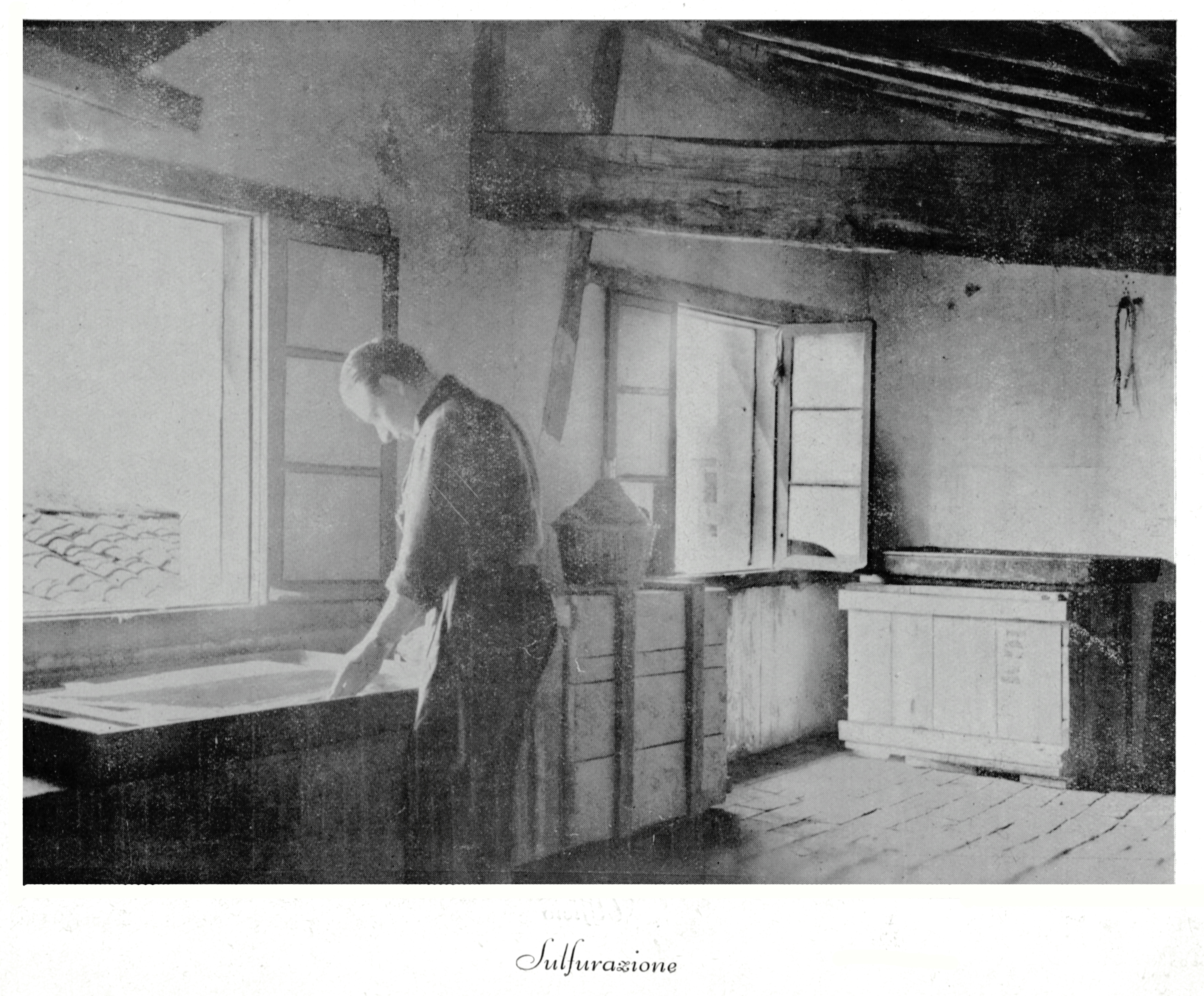
Corpo Truppe Volontarie 30.jpg - LBM1948
Corpo Truppe Volontarie 38.jpg - LBM1948
Corpo Truppe Volontarie 31.jpg - LBM1948
Corpo Truppe Volontarie 40.jpg - LBM1948
Map making workshop - from Wikidata to interactive off-Wiki maps in three steps (WikidataCon 25-10-2019).pdf - OlafJanssen