Wikimedi'Òc
Modes d'emploi

Cet album fait partie des albums
Cet album photos contient les sous-albums suivants :


Milepost on the Macclesfield Canal (geograph 5179623).jpg - Sic19

Old Milemarker by the Macclesfield Canal at Buglawton (geograph 6102340).jpg - Sic19

Old milemarker by the Macclesfield Canal, Congleton (geograph 6095618).jpg - Sic19

Old Milemarker by the Macclesfield Canal, Congleton Parish (geograph 6102225).jpg - Sic19

Macclesfield Canal Mile Stone (22 miles from Marple) - geograph.org.uk - 7488046.jpg - GeographBot

Old milemarker by the Macclesfield Canal, Congleton (geograph 6095590).jpg - Sic19

Crossley Hall farm from the Macclesfield Canal - geograph.org.uk - 1867774.jpg - GeographBot

Crossing the weir bridge on the Macclesfield Canal - geograph.org.uk - 1867828.jpg - GeographBot

Macclesfield Canal near Lighthey - geograph.org.uk - 2055772.jpg - GeographBot

Canal and railway at Congleton - geograph.org.uk - 2055784.jpg - GeographBot

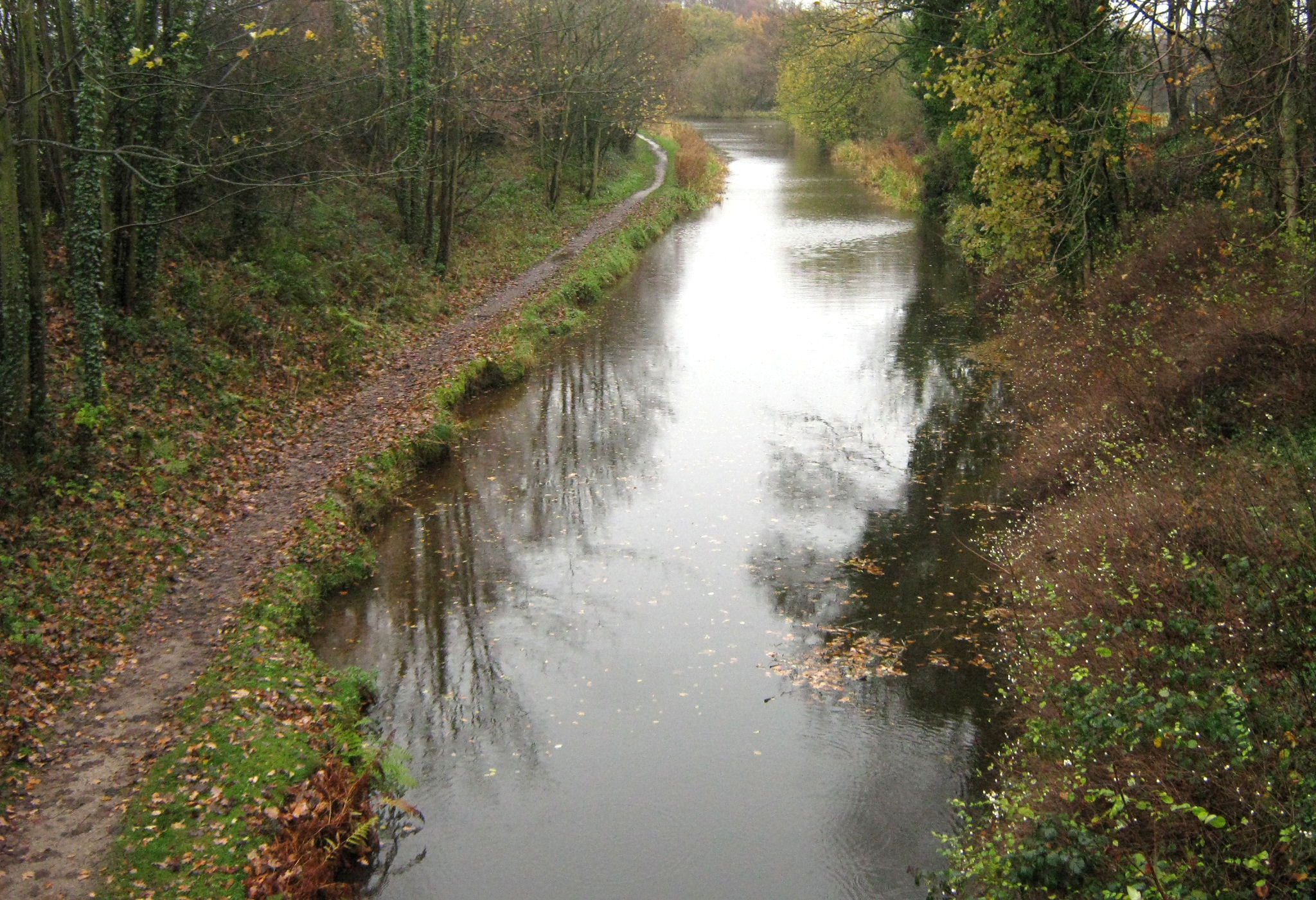
Along the towpath - geograph.org.uk - 2166985.jpg - GeographBot

Looking over to Vaudrey's Wharf - geograph.org.uk - 2167020.jpg - GeographBot

South on the canal - geograph.org.uk - 2168333.jpg - GeographBot
North on the canal - geograph.org.uk - 2168342.jpg - GeographBot

Vaudrey's Wharf - geograph.org.uk - 2168408.jpg - GeographBot

Congleton Wharf - geograph.org.uk - 2199514.jpg - GeographBot

Macclesfield Canal, Mossley - geograph.org.uk - 2662906.jpg - GeographBot

Canal Barge near Crossley Hall Farm - geograph.org.uk - 3734873.jpg - GeographBot

The Macclesfield Canal - geograph.org.uk - 3734876.jpg - GeographBot

Narrowboat - Macclesfield Canal - geograph.org.uk - 3736740.jpg - GeographBot

The Macclesfield Canal - geograph.org.uk - 3736743.jpg - GeographBot

Canal over railway, 1961 - geograph.org.uk - 3917738.jpg - GeographBot

Macclesfield Canal - geograph.org.uk - 4001407.jpg - GeographBot

Canal bridges at Congleton, Cheshire - geograph.org.uk - 4167896.jpg - GeographBot

Canalside apartments at Congleton, Cheshire - geograph.org.uk - 4167968.jpg - GeographBot

Macclesfield Canal south of Congleton, Cheshire - geograph.org.uk - 4253682.jpg - GeographBot

Site of former swing bridge south of Congleton, Cheshire - geograph.org.uk - 4253695.jpg - GeographBot

Macclesfield Canal approaching Congleton, Cheshire - geograph.org.uk - 4253888.jpg - GeographBot

Macclesfield Canal at Congleton, Cheshire - geograph.org.uk - 4254102.jpg - GeographBot

Canal Road in Congleton, Cheshire - geograph.org.uk - 4254149.jpg - GeographBot

Macclesfield Canal near Congleton, Cheshire - geograph.org.uk - 4254867.jpg - GeographBot

Macclesfield Canal at Hightown near Congleton, Cheshire - geograph.org.uk - 4254873.jpg - GeographBot

Macclesfield Canal bridges near Congleton, Cheshire - geograph.org.uk - 4254882.jpg - GeographBot

Macclesfield Canal bridges near Congleton, Cheshire - geograph.org.uk - 4254887.jpg - GeographBot

Canal bridges at Hightown in Congleton, Cheshire - geograph.org.uk - 4255065.jpg - GeographBot
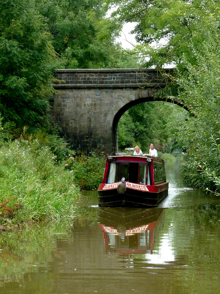
Narrowboat approaching Congleton, Cheshire - geograph.org.uk - 4255355.jpg - GeographBot

Macclesfield Canal near Hightown, Congleton, Cheshire - geograph.org.uk - 4256896.jpg - GeographBot

Macclesfield Canal south-east of Congleton, Cheshire - geograph.org.uk - 4256903.jpg - GeographBot

Macclesfield Canal south-east of Congleton, Cheshire - geograph.org.uk - 4257407.jpg - GeographBot

Macclesfield Canal north-east of Buglawton, Cheshire - geograph.org.uk - 4259297.jpg - GeographBot

Macclesfield Canal north-east of Congleton, Cheshire - geograph.org.uk - 4262637.jpg - GeographBot

Macclesfield Canal south of North Rode, Cheshire - geograph.org.uk - 4262643.jpg - GeographBot

Moored narrowboats south of North Rode, Cheshire - geograph.org.uk - 4262652.jpg - GeographBot

Macclesfield Canal south of North Rode, Cheshire - geograph.org.uk - 4262658.jpg - GeographBot

Macclesfield Canal south of North Rode, Cheshire - geograph.org.uk - 4262739.jpg - GeographBot

Macclesfield Canal south of North Rode, Cheshire - geograph.org.uk - 4265562.jpg - GeographBot

Macclesfield Canal south-east of North Rode, Cheshire - geograph.org.uk - 4266124.jpg - GeographBot

Macclesfield Canal west of Bosley, Cheshire - geograph.org.uk - 4269419.jpg - GeographBot

Macclesfield Canal west of Bosley, Cheshire - geograph.org.uk - 4269421.jpg - GeographBot

Macclesfield Canal at Dane-in-Shaw - geograph.org.uk - 4297213.jpg - GeographBot

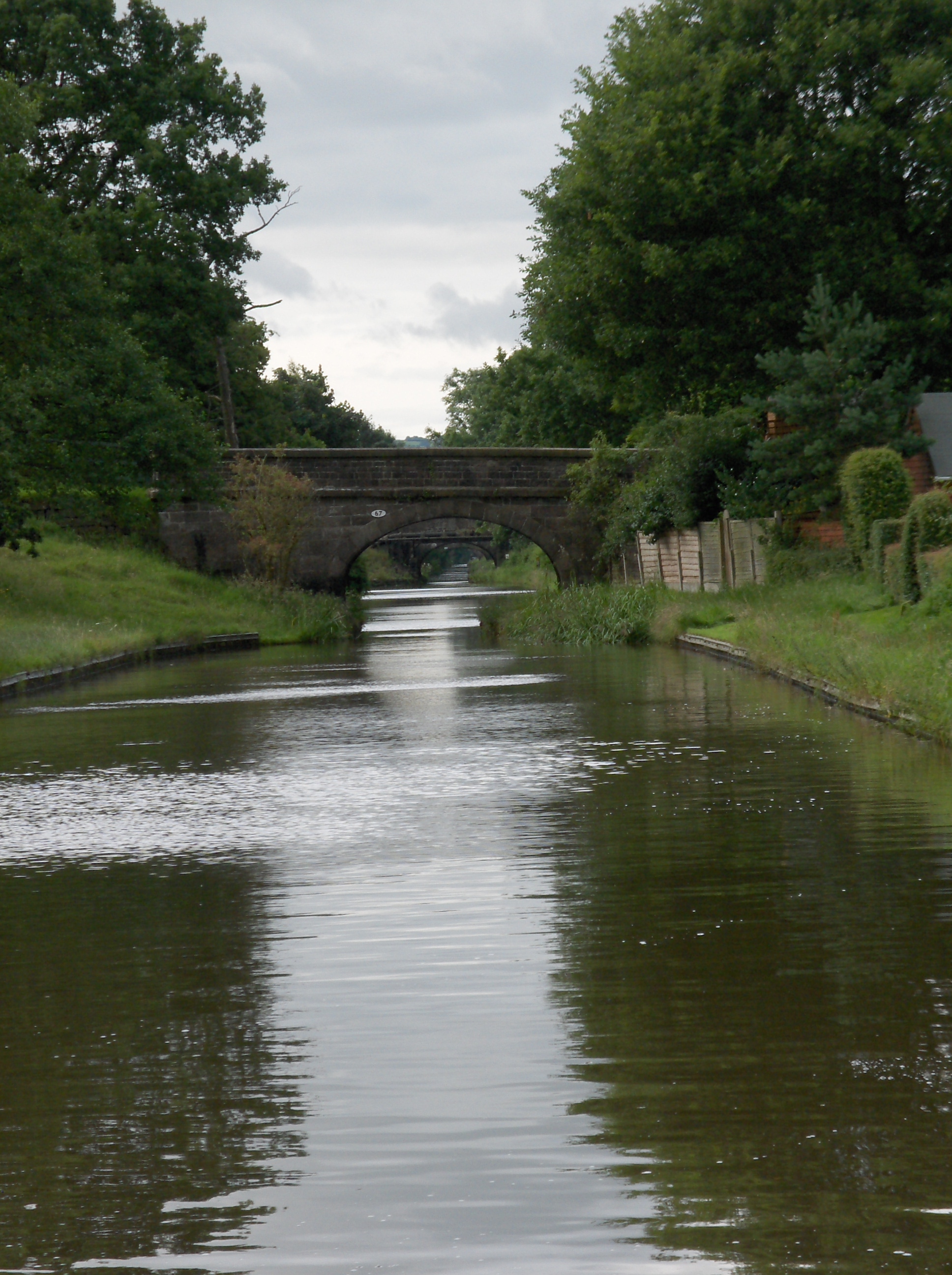
Macclesfield Canal, Railway bridge - geograph.org.uk - 4419242.jpg - GeographBot

Macclesfield Canal, Town Field Bridge No 66 - geograph.org.uk - 4419602.jpg - GeographBot

Macclesfield Canal, Under Park Lane Bridge No 75 - geograph.org.uk - 4420207.jpg - GeographBot

Macclesfield Canal, Railway bridge - geograph.org.uk - 4420213.jpg - GeographBot

Macclesfield Canal, Aqueduct over Canal Road - geograph.org.uk - 4420219.jpg - GeographBot

Macclesfield Canal, Billy Tight's Footbridge No 78 - geograph.org.uk - 4420418.jpg - GeographBot
At Congleton railway station 2023 16.jpg - Mike Peel

Kayaking on the Macclesfield Canal - geograph.org.uk - 5179590.jpg - GeographBot

Narrowboat on the Macclesfield Canal - geograph.org.uk - 5179599.jpg - GeographBot

Narrowboat and cow at Crossley Hall Farm - geograph.org.uk - 5179618.jpg - GeographBot

Macclesfield Canal W of Pearsons Bridge near Congleton - geograph.org.uk - 5237075.jpg - GeographBot

Macclesfield Canal in Congleton - geograph.org.uk - 5329943.jpg - GeographBot

Macclesfield Canal in Congleton - geograph.org.uk - 5331074.jpg - GeographBot

'Cousin Jack' moored on the Macclesfield Canal - geograph.org.uk - 5331104.jpg - GeographBot

Steps up from the Macclesfield Canal to the Queens Head, Congleton - geograph.org.uk - 5331115.jpg - GeographBot

Advertising alongside the Macclesfield Canal - geograph.org.uk - 5331163.jpg - GeographBot

Steps up from the Macclesfield Canal towards the A527 - geograph.org.uk - 5331195.jpg - GeographBot

Mill, canal, railway - geograph.org.uk - 5332527.jpg - GeographBot

Canal bridge across Canal Road, Congleton (1) - geograph.org.uk - 6207510.jpg - GeographBot

Canal bridge across Canal Road, Congleton (2) - geograph.org.uk - 6207516.jpg - GeographBot

Bridges across the Macclesfield Canal, Congleton - geograph.org.uk - 6207519.jpg - GeographBot

Macclesfield Canal, Congleton - geograph.org.uk - 6207522.jpg - GeographBot

Macclesfield Canal SW of Stanleys Bridge, Buglawton - geograph.org.uk - 6358450.jpg - GeographBot

Macclesfield Canal looking towards Stanier 2nd Bridge - geograph.org.uk - 6358454.jpg - GeographBot

Macclesfield Canal at Stringers Bridge near North Rode - geograph.org.uk - 6627771.jpg - GeographBot

Macclesfield Canal north-east of Congleton in Cheshire - geograph.org.uk - 6634633.jpg - GeographBot

Macclesfield Canal - geograph.org.uk - 6771078.jpg - GeographBot

Congleton Wharf, Macclesfield Canal - geograph.org.uk - 6802272.jpg - GeographBot

Old milemarker northeast of bridge 64, Congleton (geograph 6076460).jpg - Sic19

Trilingual Canalside Sign - geograph.org.uk - 231808.jpg - GeographBot
Macc canal near congleton.jpg - File Upload Bot (Magnus Manske)

Canalside Housing, Congleton, Cheshire - geograph.org.uk - 544656.jpg - GeographBot

Macclesfield Canal, Buglawton, Cheshire - geograph.org.uk - 567832.jpg - GeographBot

Converted Warehouses, Macclesfield Canal, Congleton - geograph.org.uk - 576263.jpg - GeographBot

Macclesfield canal in Congelton - geograph.org.uk - 750984.jpg - GeographBot

Congleton - canal embankment. - geograph.org.uk - 1227494.jpg - GeographBot

Milepost Macclesfield Canal, Congleton.jpg - Geograph Update Bot

Stone fence posts, Macclesfield Canal.jpg - Pete Goodwin

Milstone, Macclesfield Canal.jpg - Pete Goodwin

Macclesfield Canal Milestone.jpg - Benjamin Shaw
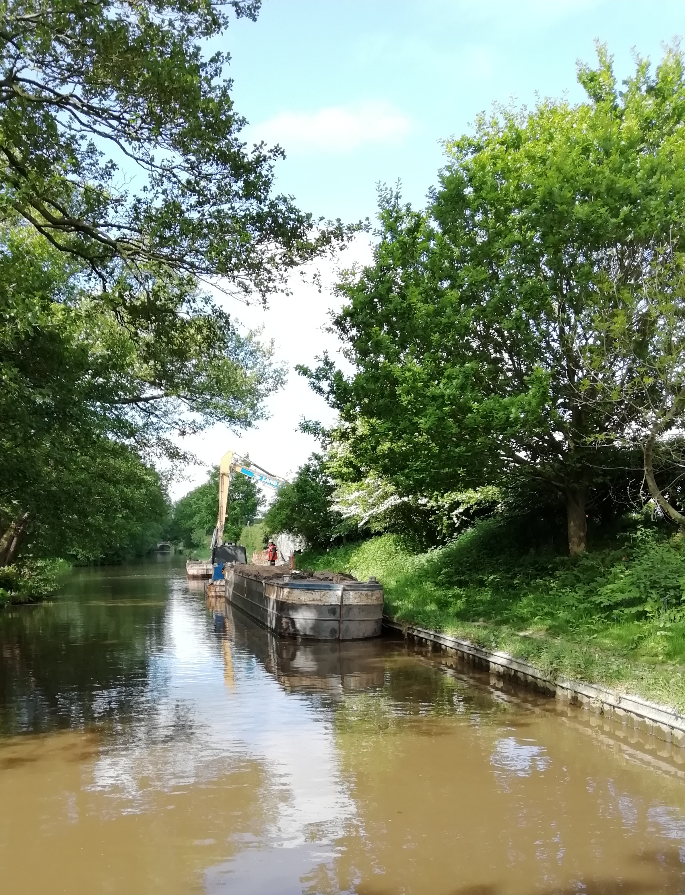
Canal dredging.jpg - Benjamin Shaw

Macclesfield canal milestone.jpg - Benjamin Shaw