Wikimedi'Òc
Modes d'emploi

Cet album fait partie des albums
Cet album photos contient les sous-albums suivants :


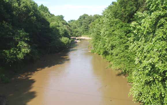
Loosahatchie River.jpg - File Upload Bot (Magnus Manske)

Loosahatchie River N Watkins St Memphis TN 01 sign.jpg - DoxTxob

General land uses of the Loosahatchie and Wolf Rivers in Tennessee and Mississippi - soil interpretive map of general land use LOC 82692958.jpg - Fæ
Cropland by capability classes of the Loosahatchie and Wolf Rivers in Tennessee and Mississippi - soil interpretive map of cropland by capability classes LOC 82692955.tif - Fæ
General land uses of the Loosahatchie and Wolf Rivers in Tennessee and Mississippi - soil interpretive map of general land use LOC 82692958.tif - Fæ

Cropland by capability classes of the Loosahatchie and Wolf Rivers in Tennessee and Mississippi - soil interpretive map of cropland by capability classes LOC 82692955.jpg - Fæ

Projected land uses of the Loosahatchie and Wolf Rivers in Tennessee and Mississippi - soil interpretive map of AD 2025 projected general land use LOC 82692956.jpg - Fæ
Projected land uses of the Loosahatchie and Wolf Rivers in Tennessee and Mississippi - soil interpretive map of AD 2025 projected general land use LOC 82692956.tif - Fæ

Land capability classes of the Loosahatchie and Wolf Rivers in Tennessee and Mississippi - soil interpretive map of land capability classes LOC 82692947.jpg - Fæ