Wikimedi'Òc
Modes d'emploi

Cet album fait partie des albums
Cet album photos contient les sous-albums suivants :


Indiastates&utnumbered.png - Sattic
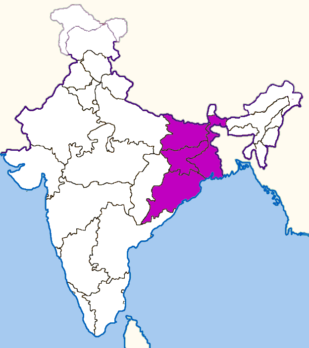
Eastindiamap.png - QuartierLatin1968
Indiastates&utnumbered 2.PNG - Roke~commonswiki

Indiastates&utnumbered fr.png - Poppy

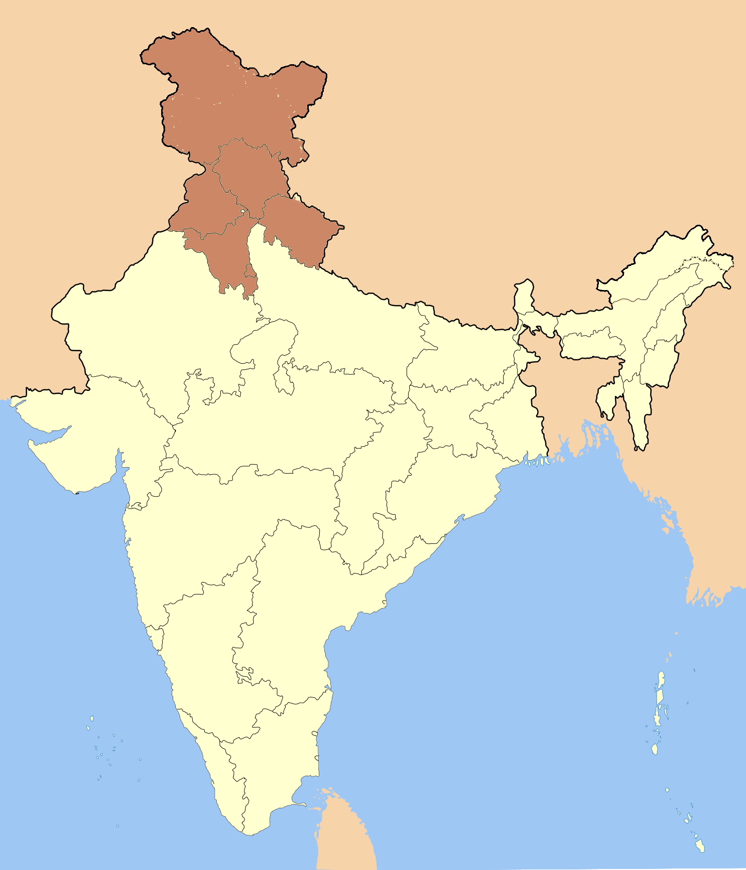
India Uttaranchal locator map.svg - Planemad

India Awadh locator map.svg - Planemad

India Harit Pradesh locator map.svg - Planemad

India Bagelkhand locator map.svg - Planemad

India Bundelkhand locator map.svg - Planemad

India Dhundhar locator map.svg - Planemad

India Godwar locator map.svg - Planemad

India Hadoti locator map.svg - Planemad

India Marwar locator map.svg - Planemad

India Shekhawati locator map.svg - Planemad

India Vagad locator map.svg - Planemad

India Khandesh locator map.svg - Planemad

India Marathwada locator map.svg - Planemad

India Konkan locator map.svg - Planemad

India Carnatic locator map.svg - Planemad

India Malabar locator map.svg - Planemad

India Venad locator map.svg - Planemad

India Chola Nadu locator map.svg - Planemad

India Kongu Nadu locator map.svg - Planemad

India Circar locator map.svg - Planemad

India Pandya Nadu locator map.svg - Planemad

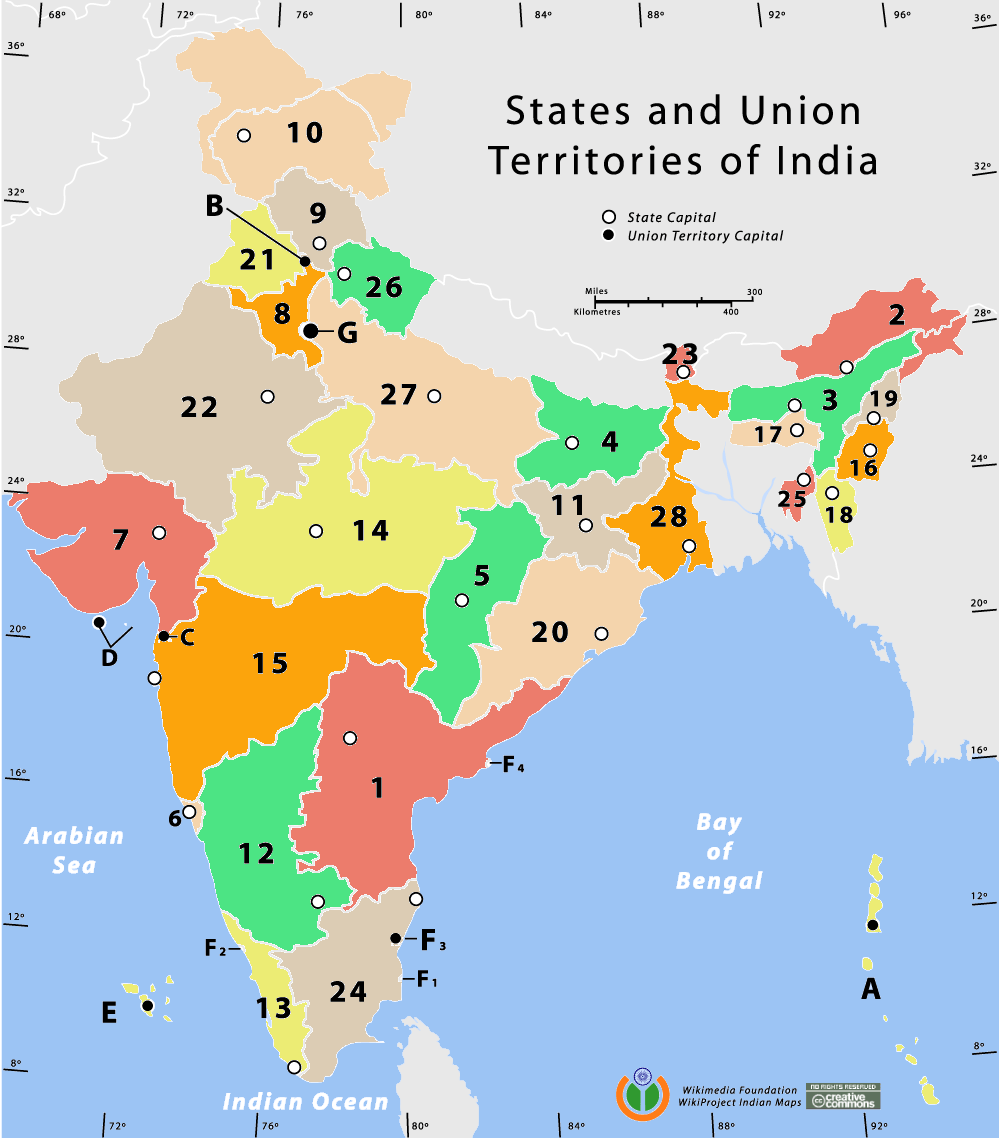
India-states-numbered.svg - Sbb1413

India earthquake zone map.svg - Planemad

India sex ratio map.svg - Planemad

India decadal growth rate map.svg - Planemad

Indiastates&utnumbered 2 de.PNG - BishkekRocks

LocationIndia.PNG - Imjustmatthew~commonswiki
100px-Topographic30deg N0E60-T-PA.jpg - Marcus334
Se asia-in.PNG - File Upload Bot (Magnus Manske)
Indie admin1 cs.png - File Upload Bot (Magnus Manske)
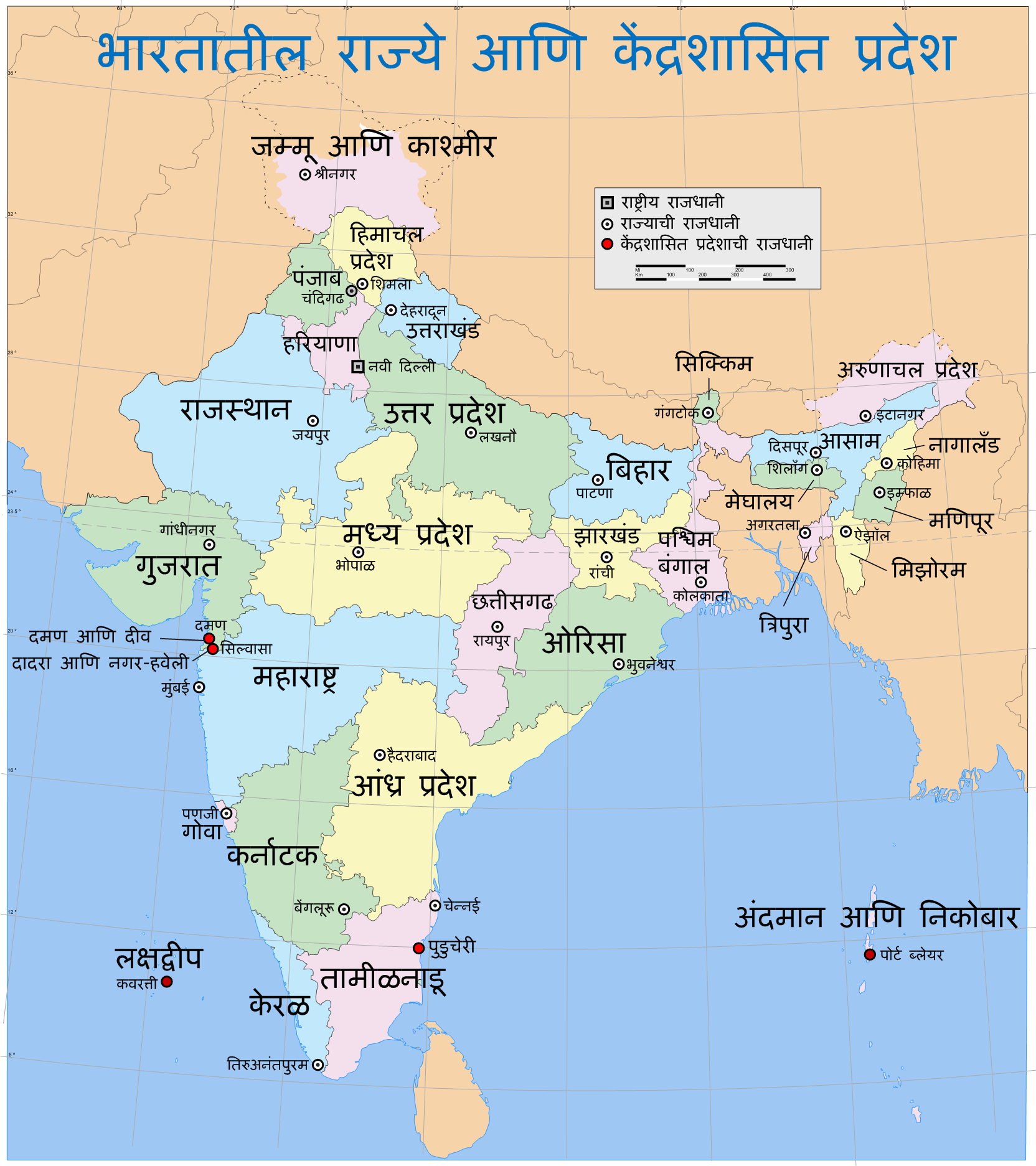
India states and union territories map mr.png - Abhijitsathe

India-states.gif - SFGiants

India-states-numbered-bn.svg - Jayantanth

India-states-numbered-bn.png - Jayantanth

Indiaindex.jpg - File Upload Bot (Magnus Manske)
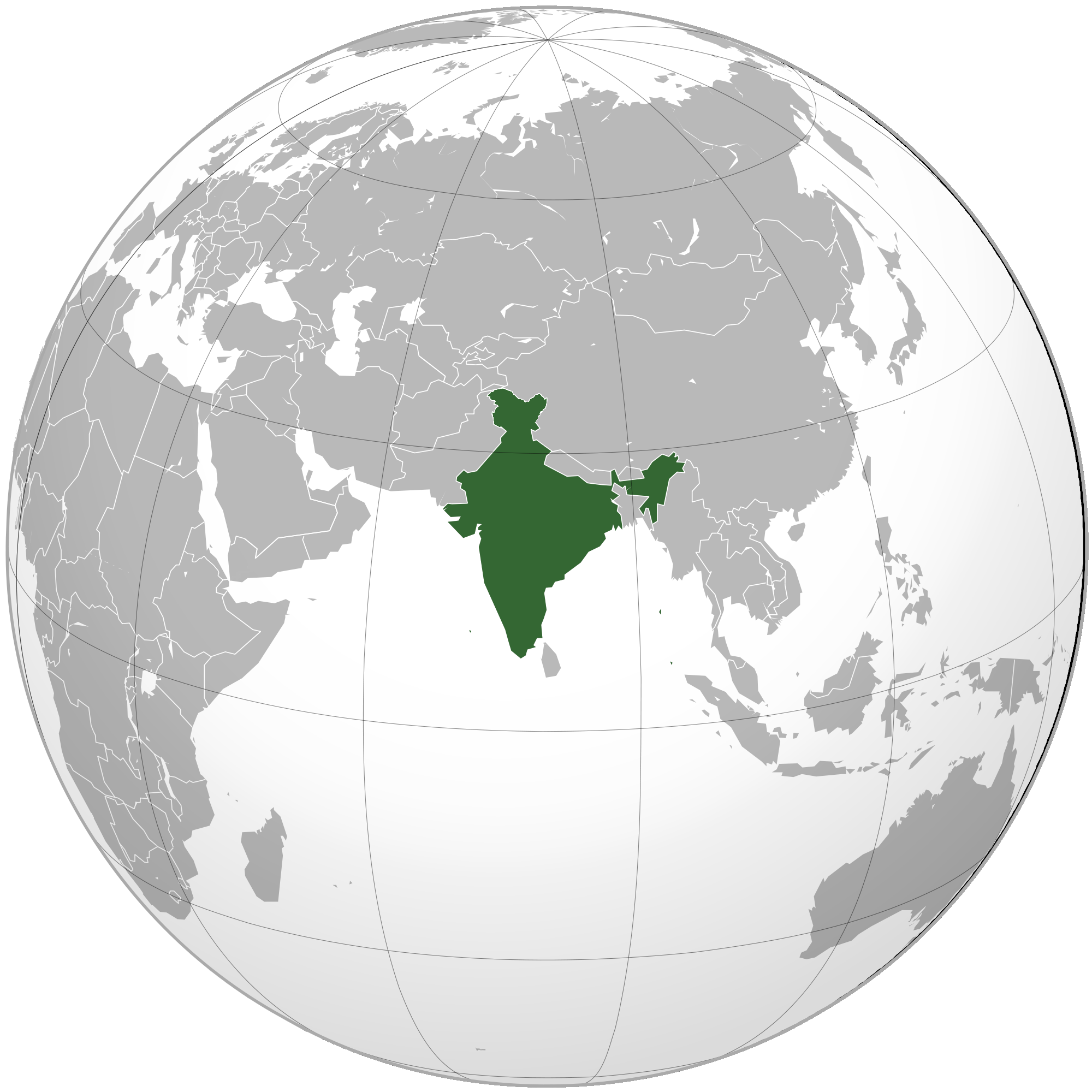
India (orthographic projection).png - Anshulkumardhiman

Kashmir conflict disputed territory animation.png - HurricaneEdgar

India Administrative Divisions 1951.svg - Andhrapur
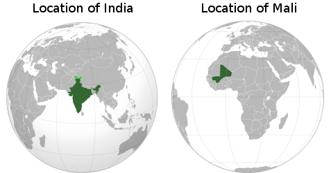
India & Mali Locations - PNG file.png - Bulwersator
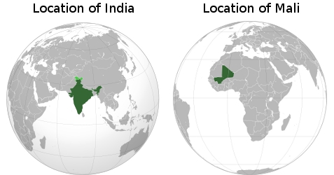
India & Mali Locations.jpg - Bulwersator
LocationIndia.png - Ytpks896

Hindu temples map.svg - Tambo

Chickensneckindia.jpg - Wangernest

North India Zonal Map July2013.png - Hunnjazal

North India Zonal Map 14July2013.png - Hunnjazal
India-Map-NP-S-North.png - વિહંગ

India-Map-NP-S-Middle.png - વિહંગ

India-Map-NP-S-East.png - વિહંગ

India-Map-NP-S-West.png - વિહંગ

India-Map-NP-S-South.png - વિહંગ

East-India-locator1.png - Mywikieditbh

1947-Khasi states.png - GifTagger

India Maroth (orthographic projection).gif - Fragrantleo

India - Location Map (2013) - IND - UNOCHA.svg - Wikijahnn

Muhajir Sooba.jpg - Kash201313

مہاجر صوبہ، انڈیا.jpg - Kash201313

India Bodoland locator map.png - Marlisco

India, Assam locator map (2015).svg - Yug

India, Uttar Pradesh locator map (2015).svg - Yug

India, Mizoram locator map (2015.04.21).svg - Yug
Kanchipuram location.jpg - LukeSurl

World Factbook (1982) India.jpg - Library Guy

India Sikkim locator map.png - Aliarslan3019

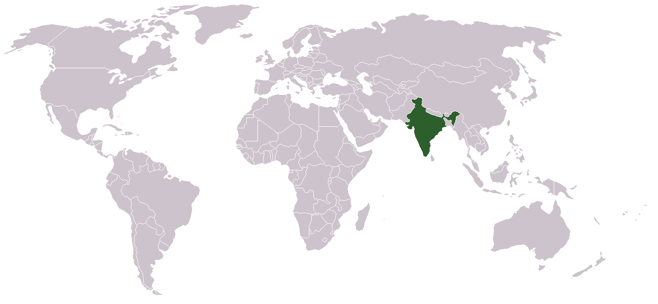
IndiaOnWorldMap.png - Explicit

Indies by Jaggivasudev.jpg - Explicit

India-sunanda-devi.jpg - FastilyClone

South India 2017 map.jpg - C1MM

Jungle-Book-locator-map.svg - Chiswick Chap

India-roma.png - Adapa

North East India.svg - Nilabh12

India map showing major cities, parts of surrounding countries, and Indian Ocean.jpg - TheSandDoctor
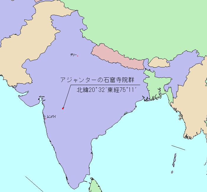
LocMap of WH Ajanta Caves.png - Ultratomio

Bundelkhand.svg - ChandlerMinh

Mapa República de l'Índia.png - Wikijahnn

Subdivisió de l'Índia.png - Wikijahnn

Proposed Barak state map.png - Pitush Puttar

Proposed Barak state map 2.png - Pitush Puttar

Map of the Gajapatis.png - Rawn3012

Gopbhum.jpg - ArtistRoy commons

Territories of Jat rulers of Jangaldesh-Bagar tract.png - Deswali Jat

Union Of India (orthographic projection).svg - DannamEmpire