×

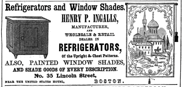
Ingalls LincolnSt BostonDirectory 1850.png - M2545

Harris Boston 1868.png - M2545

Spaulding LincolnSt BostonDirectory 1868.png - M2545

2010 KneelandSt LincolnSt Boston.jpg - M2545

2010 LincolnSt Boston19.jpg - M2545

1854 Smallwood BeachSt Boston.png - M2545

1891 Wales Goodyear LincolnSt Boston.jpeg - M2545

1864 Dewing LincolnSt BostonDirectory.png - M2545

1889 HoracePartridge LincolnSt EssexSt Boston AmericanStationer v25 no7.png - M2545

Sanborn Fire Insurance Map from Boston (1867), Sheet 20.jpg - Ro4444

Atlas of the city of Boston - city proper - plate 26 (19835344966).jpg - Fæ

Atlas of the city of Boston - city proper - plate 30 (19238896354).jpg - Fæ

Atlas of the city of Boston - city proper - plate 31 (19238896574).jpg - Fæ

City Hotel and Boston & Worcester Railroad terminal, 1837.jpg - Pi.1415926535

Kneeland Street steam plant from Albany Street, September 2022.JPG - Pi.1415926535

Sanborn Fire Insurance Map from Boston, Suffolk County, Massachusetts, 1909, Volume 1, Plate 0044.jpg - Nowakki

Sanborn Fire Insurance Map from Boston, Suffolk County, Massachusetts, 1909, Volume 1, Plate 0047.jpg - Nowakki

Cambridge Street at Lincoln Street, Lower Allston (53229519642).jpg - Ethanmlong
❮
❯


