Wikimedi'Òc
Modes d'emploi

Cet album fait partie des albums
Cet album photos contient les sous-albums suivants :


Charts of the Lights on the Atlantic & Gulf Coasts of the United States - DPLA - bf34ac621abb9735a641baf575541058 (page 2).jpg - DPLA bot
Light house near Caldwell's Landing (NYPL b12349137-421611).tiff - Fæ
Sandy Hook, from the lighthouses (NYPL b12610211-422535).tiff - Fæ
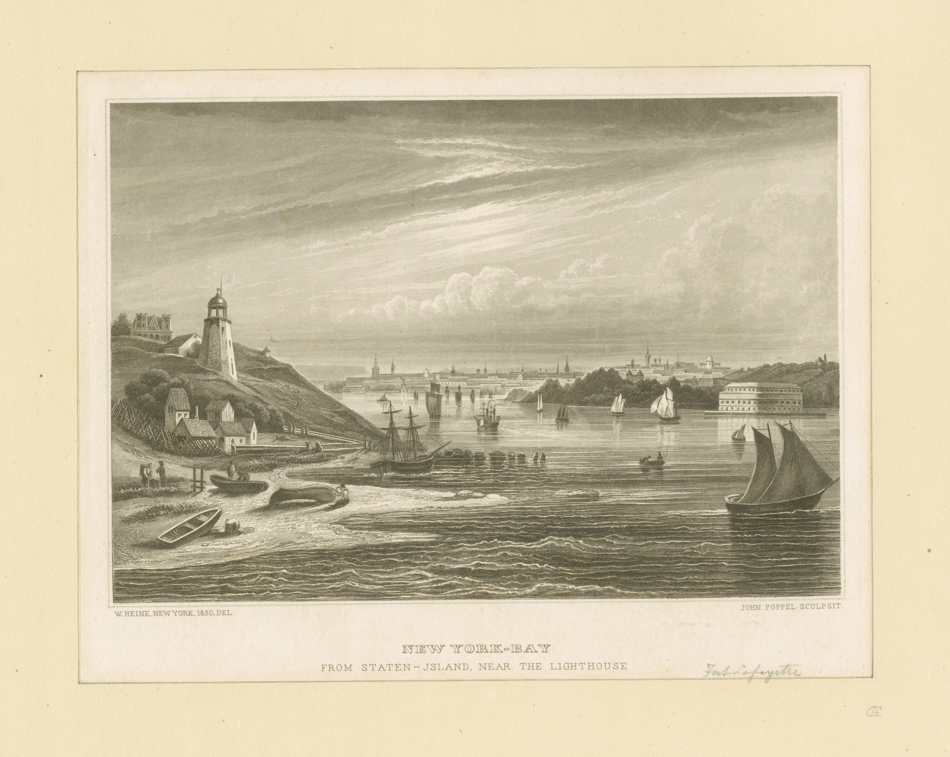
New York Bay from Staten Island near the lighthouse (NYPL b13476048-423234).jpg - Fæ
New York Bay from Staten Island near the lighthouse (NYPL b13476048-423234).tiff - Fæ
A view of the lighthouse on Cape Henlopen, taken at sea, August 1780 (NYPL Hades-257804-EM14601).tiff - Fæ

A view of the lighthouse on Cape Henlopen, taken at sea, August 1780 (NYPL Hades-257804-EM14601).jpg - Fæ

US Coast Guard Cutter LILAC at Pier 25 in Tribeca, New York, NY 7.jpg - DebbieUllman

Lighthouses - General Correspondence, 1789-1800 - NARA - 81128602 (page 18).jpg - US National Archives bot

Lighthouses - General Correspondence, 1800-1814 - NARA - 81128603 (page 12).jpg - US National Archives bot

Lighthouses - General Correspondence, 1800-1814 - NARA - 81128603 (page 18).jpg - US National Archives bot

Racine North Breakwater Lighthouse.png - Heeps of Wiki