Wikimedi'Òc
Modes d'emploi

Cet album fait partie des albums
Cet album photos contient les sous-albums suivants :


Millbrook Vehicle Proving Ground - geograph.org.uk - 7679751.jpg - GeographBot

Millbrook Proving Ground from the air - geograph.org.uk - 7756716.jpg - GeographBot

Greensand Ridge track - geograph.org.uk - 67375.jpg - GeographBot

Brogborough Lake near Lidlington - geograph.org.uk - 421817.jpg - File Upload Bot (Magnus Manske)

Ampthill Angling Club - geograph.org.uk - 378156.jpg - GeographBot

Lidlington Level Crossing - geograph.org.uk - 378134.jpg - GeographBot

A small train - geograph.org.uk - 421799.jpg - GeographBot

Boughton End - geograph.org.uk - 422737.jpg - GeographBot

Boughton End Lane near A507 junction - geograph.org.uk - 422738.jpg - GeographBot

Hedgerow and lane, Brogborough - geograph.org.uk - 421809.jpg - GeographBot

Thrupp End - geograph.org.uk - 421806.jpg - GeographBot
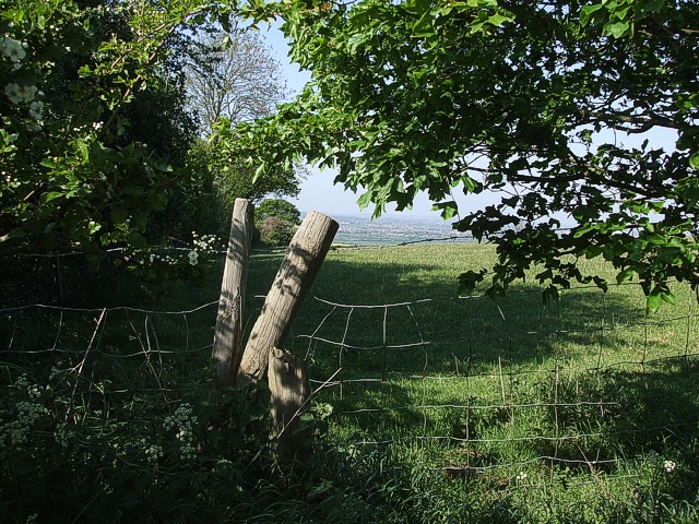
View through a gap - geograph.org.uk - 421825.jpg - GeographBot

A421 - geograph.org.uk - 431328.jpg - GeographBot

Bedford to Bletchley Line - geograph.org.uk - 430532.jpg - GeographBot

Brogborough Hill Picnic Site - geograph.org.uk - 430554.jpg - GeographBot

Derelict Buildings - geograph.org.uk - 430552.jpg - GeographBot
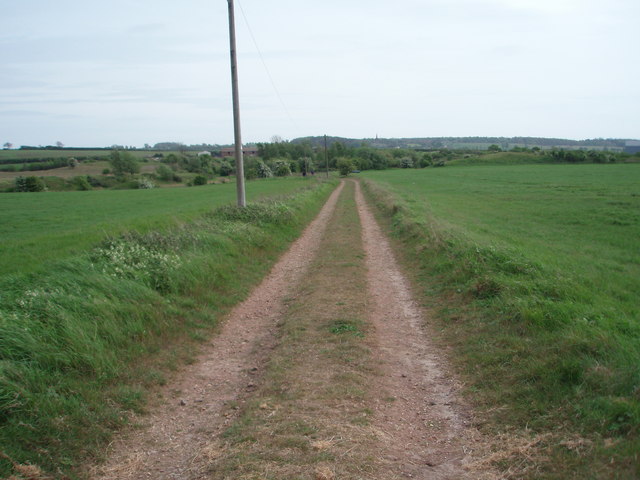
Farmland Track - geograph.org.uk - 430546.jpg - GeographBot

Pylon - geograph.org.uk - 430078.jpg - GeographBot

Rural Economy - geograph.org.uk - 431307.jpg - GeographBot

The View from Brogborough Hill - geograph.org.uk - 430528.jpg - GeographBot

Unused Farmland - geograph.org.uk - 431321.jpg - GeographBot

What a Load of Rubbish - geograph.org.uk - 431297.jpg - GeographBot

Brogborough Landfill Site - geograph.org.uk - 511544.jpg - GeographBot

Edge of the Brogborough Landfill Site - geograph.org.uk - 511543.jpg - GeographBot

Lidlington Reservoir and Escheat Farm - geograph.org.uk - 613291.jpg - GeographBot
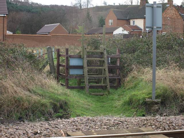
Concrete Stile - geograph.org.uk - 664226.jpg - GeographBot

Damp Woodland - geograph.org.uk - 663454.jpg - GeographBot
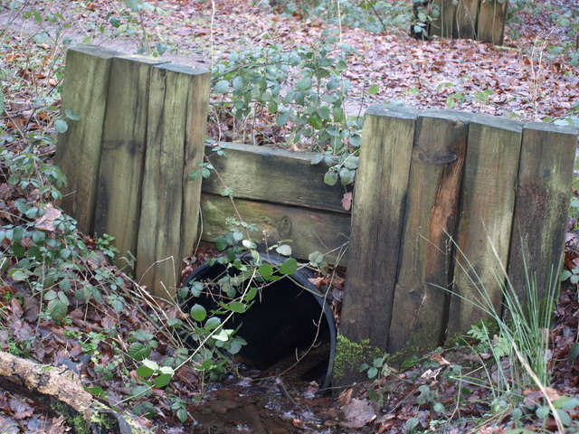
Keeping the Path Dry - geograph.org.uk - 664210.jpg - GeographBot

The Silverlink Line - geograph.org.uk - 667417.jpg - GeographBot

A507 junction - geograph.org.uk - 727090.jpg - GeographBot

Across the fields to Millbrook - geograph.org.uk - 727099.jpg - GeographBot

Adjacent to the Bedford to Bletchley railway line - geograph.org.uk - 727093.jpg - GeographBot

By the railway - geograph.org.uk - 727096.jpg - GeographBot

Towards Lidlington - geograph.org.uk - 727091.jpg - GeographBot

Men at Work - geograph.org.uk - 972622.jpg - GeographBot

Brogborough Lake - geograph.org.uk - 1355801.jpg - GeographBot

Cottages in Church Street, Lidlington - geograph.org.uk - 1475196.jpg - GeographBot

Greensand Ridge south of Lidlington - geograph.org.uk - 1475234.jpg - GeographBot
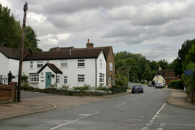
High Street, Lidlington - geograph.org.uk - 1475200.jpg - GeographBot

No highway, automatic half barriers near Royston, Hertfordshire, UK. - panoramio.jpg - Panoramio upload bot
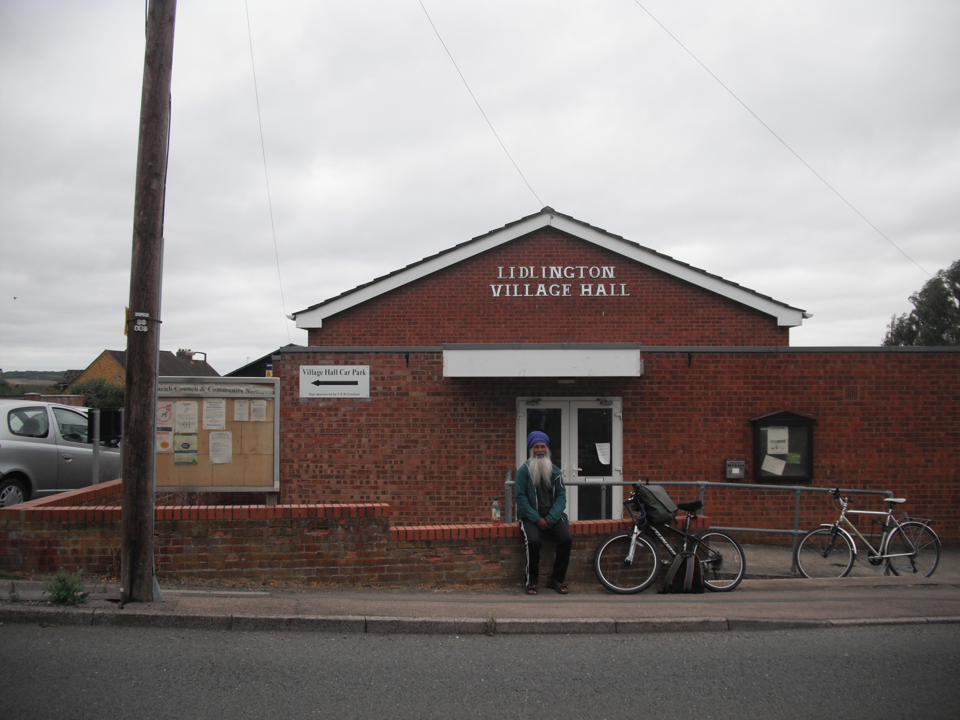
LidlingtonVillage Hall.JPG - Simonxag

LidlingtonPubAndHall.JPG - Simonxag

Brogborough Lake.jpg - Stuad70

Public Footpath - geograph.org.uk - 2181639.jpg - GeographBot

Public Footpath - geograph.org.uk - 2181644.jpg - GeographBot

Farmland near Lidlington - geograph.org.uk - 2181648.jpg - GeographBot

Office Cottages Road - geograph.org.uk - 2181650.jpg - GeographBot

St Margaret, Lidlington - geograph.org.uk - 2181676.jpg - GeographBot

Public Footpath - geograph.org.uk - 2181685.jpg - GeographBot

The Royal Oak Pub, Lidlington - geograph.org.uk - 2181701.jpg - GeographBot

Lidlington Level Crossing - geograph.org.uk - 2181710.jpg - GeographBot

Flying Horse Cottage - geograph.org.uk - 2383840.jpg - GeographBot

A507-Boughton End Lane junction - geograph.org.uk - 2523052.jpg - GeographBot

Brogborough Lake and Millbrook vehicle testing ground from the air - geograph.org.uk - 2966116.jpg - GeographBot

Millbrook Vehicle Proving Ground - geograph.org.uk - 3010260.jpg - GeographBot

Small stand of trees amongst the scrub - geograph.org.uk - 3118892.jpg - GeographBot

The beginnings of a woodland - geograph.org.uk - 3118893.jpg - GeographBot

Footpath to Flying Horse Farm - geograph.org.uk - 3428742.jpg - GeographBot

Footpath to Boughton End - geograph.org.uk - 3428747.jpg - GeographBot

Garden by the footpaths - geograph.org.uk - 3428755.jpg - GeographBot

Footpath to Boughton End Lane - geograph.org.uk - 3428764.jpg - GeographBot

The John Bunyan Trail by the plantation - geograph.org.uk - 3428767.jpg - GeographBot

Footpath by the end of the plantation - geograph.org.uk - 3428772.jpg - GeographBot

Footpath off Boughton End Lane - geograph.org.uk - 3428779.jpg - GeographBot

Greensand Ridge Walk - geograph.org.uk - 3428793.jpg - GeographBot

Path through the plantation - geograph.org.uk - 3428795.jpg - GeographBot

Path to Lidlington - geograph.org.uk - 3428802.jpg - GeographBot

The Greensand Ridge Walk - geograph.org.uk - 3429033.jpg - GeographBot

Trees growing up Jackdaw Hill just off Greensand Ridge Walk - geograph.org.uk - 3429037.jpg - GeographBot

John Bunyan Trail etc - geograph.org.uk - 3429046.jpg - GeographBot

Water filled pit by the Greensand Ridge Walk - geograph.org.uk - 3429052.jpg - GeographBot

Marston Vale Timberland Trail - geograph.org.uk - 3429057.jpg - GeographBot

Bridleway to the A507 - geograph.org.uk - 3429087.jpg - GeographBot

Pylon in an arable field - geograph.org.uk - 3498653.jpg - GeographBot

Disused pit now used for windsurfing and raising geese - geograph.org.uk - 3498656.jpg - GeographBot

Footpath to Marston Crossing - geograph.org.uk - 3498725.jpg - GeographBot

The line to Bletchley - geograph.org.uk - 3498726.jpg - GeographBot

The Marston Vale Trail - geograph.org.uk - 3498727.jpg - GeographBot

Footpath off the Marston Road - geograph.org.uk - 3498729.jpg - GeographBot

Footpath towards Morteyne Farm - geograph.org.uk - 3498731.jpg - GeographBot

Footpath to Lidlington - geograph.org.uk - 3498733.jpg - GeographBot

Footpath towards Morteyne Farm - geograph.org.uk - 3498734.jpg - GeographBot

Young trees on the Brogborough landfill site - geograph.org.uk - 3500571.jpg - GeographBot

Brogborough power station - geograph.org.uk - 3500614.jpg - GeographBot

The new A421 - geograph.org.uk - 3500622.jpg - GeographBot

Steps down to the footpath - geograph.org.uk - 3500624.jpg - GeographBot

A421 looking towards the Lidlington Bridleway Bridge - geograph.org.uk - 3666938.jpg - GeographBot

A421 approaching the Lidlington Bridleway Bridge - geograph.org.uk - 3666953.jpg - GeographBot

A421 northbound, footbridge - geograph.org.uk - 4431308.jpg - GeographBot

Gas from landfill, Brogborough Power Station (aerial 2015) - geograph.org.uk - 4527563.jpg - GeographBot

Gas from landfill, Brogborough Power Station (aerial 2015) - geograph.org.uk - 4527571.jpg - GeographBot

Lay-by on the A421 - geograph.org.uk - 4567565.jpg - GeographBot

Brogborough Power Station - geograph.org.uk - 4567583.jpg - GeographBot

Lombard Street, Lidlington - geograph.org.uk - 4573234.jpg - GeographBot

Farmland and pylons near Flying Horse Farm - geograph.org.uk - 4628641.jpg - GeographBot

Footpath off the A507 - geograph.org.uk - 4628645.jpg - GeographBot

Harvested crop field near Flying Horse Farm - geograph.org.uk - 4628649.jpg - GeographBot

Road junction on the A507 - geograph.org.uk - 4628654.jpg - GeographBot

Broughton End Lane - geograph.org.uk - 4729232.jpg - GeographBot

The Green Man - geograph.org.uk - 4809882.jpg - GeographBot

Bridge over A421 - geograph.org.uk - 5103040.jpg - GeographBot

Lidlington Village Green - geograph.org.uk - 5423039.jpg - GeographBot

Jackdaw Hill on the Marston Vale Timberland Trail - geograph.org.uk - 5423057.jpg - GeographBot

Main road passing through Lidlington - geograph.org.uk - 5423061.jpg - GeographBot

On the Marston Vale Timberland Trail - geograph.org.uk - 5423112.jpg - GeographBot

“Stop, look, listen” sign - geograph.org.uk - 5423124.jpg - GeographBot

A421 lay-by - geograph.org.uk - 5454378.jpg - GeographBot

A421 lay-by - geograph.org.uk - 5454383.jpg - GeographBot

A421 towards Bedford - geograph.org.uk - 5623159.jpg - GeographBot

A421 towards Bedford - geograph.org.uk - 5623240.jpg - GeographBot

A421 lay-by - geograph.org.uk - 5786071.jpg - GeographBot

Bury Ware approaching the A507 Woburn Road - geograph.org.uk - 5853619.jpg - GeographBot

Boughton End Lane approaching Bury Ware - geograph.org.uk - 5853621.jpg - GeographBot
Folly Wood - geograph.org.uk - 5853625.jpg - GeographBot

Boughton End Lane - geograph.org.uk - 5853627.jpg - GeographBot

Boughton End - geograph.org.uk - 5853628.jpg - GeographBot

Bridleway across A421 near Brogborough Power Station - geograph.org.uk - 5895649.jpg - GeographBot

Path across a wheat field near to Lidlington - geograph.org.uk - 6218894.jpg - GeographBot

Wheat field, Lidlington - geograph.org.uk - 6218897.jpg - GeographBot

Jackdaw Hill seen beyond a wheat field - geograph.org.uk - 6218899.jpg - GeographBot

Lidlington Station and level crossing - geograph.org.uk - 6875329.jpg - GeographBot

Marston Crossing near Lidlington - geograph.org.uk - 6875350.jpg - GeographBot

Level crossing, Lidlington - geograph.org.uk - 7234973.jpg - GeographBot

Down platform, Lidlington railway station - geograph.org.uk - 7234975.jpg - GeographBot

The Grove, Lidlington - geograph.org.uk - 7234976.jpg - GeographBot

Lombard Street, Lidlington - geograph.org.uk - 7234979.jpg - GeographBot

Public bridleway south east of Lidlington (1) - geograph.org.uk - 7234982.jpg - GeographBot

Graveyard south east of Lidlington - geograph.org.uk - 7234987.jpg - GeographBot

Public bridleway south east of Lidlington (2) - geograph.org.uk - 7234992.jpg - GeographBot

Public bridleway on Jackdaw Hill (1) - geograph.org.uk - 7234994.jpg - GeographBot

Public bridleway on Jackdaw Hill (3) - geograph.org.uk - 7235000.jpg - GeographBot

Public bridleway on Jackdaw Hill (4) - geograph.org.uk - 7235001.jpg - GeographBot

Bury Ware south of Lidlington (1) - geograph.org.uk - 7236531.jpg - GeographBot

Bury Ware south of Lidlington (2) - geograph.org.uk - 7236538.jpg - GeographBot

Public footpath south west of Southview Farm - geograph.org.uk - 7236543.jpg - GeographBot

Well marked footpath west of Southview Farm - geograph.org.uk - 7236552.jpg - GeographBot

Public footpath north of Boughton End Farm (1) - geograph.org.uk - 7236559.jpg - GeographBot

Public footpath north of Boughton End Farm (2) - geograph.org.uk - 7236564.jpg - GeographBot

Spot the public footpath, Boughton End Farm - geograph.org.uk - 7236572.jpg - GeographBot

Boughton End Lane south east of Boughton End Farm - geograph.org.uk - 7236578.jpg - GeographBot

Boughton End Lane passing Boughton End Farm - geograph.org.uk - 7236588.jpg - GeographBot

Boughton End Lane, Boughton End - geograph.org.uk - 7236591.jpg - GeographBot

Boughton End Lane, Upper Boughtonend - geograph.org.uk - 7236598.jpg - GeographBot

Whitehall, Lidlington (1) - geograph.org.uk - 7236603.jpg - GeographBot

Whitehall, Lidlington (2) - geograph.org.uk - 7236608.jpg - GeographBot

Hudson Close, Lidlington - geograph.org.uk - 7236612.jpg - GeographBot

Walnut Grove, Lidlington - geograph.org.uk - 7236615.jpg - GeographBot

Remains of old Up platform, Lidlington railway station - geograph.org.uk - 7236620.jpg - GeographBot

Puffy white clouds above a flat Bedfordshire landscape - geograph.org.uk - 7806844.jpg - GeographBot