Wikimedi'Òc
Modes d'emploi

Cet album fait partie des albums
Cet album photos contient les sous-albums suivants :


A38 at Canwell - geograph.org.uk - 14782.jpg - GeographBot

Approaching the Bassett's Pole island - geograph.org.uk - 14778.jpg - GeographBot

Waste disposal - geograph.org.uk - 24230.jpg - GeographBot

Gaia Lane, Lichfield - geograph.org.uk - 54555.jpg - GeographBot

Gravel Pits - geograph.org.uk - 44624.jpg - GeographBot

Copse by the Brook - geograph.org.uk - 130230.jpg - GeographBot

Cricket Lane - geograph.org.uk - 131668.jpg - GeographBot

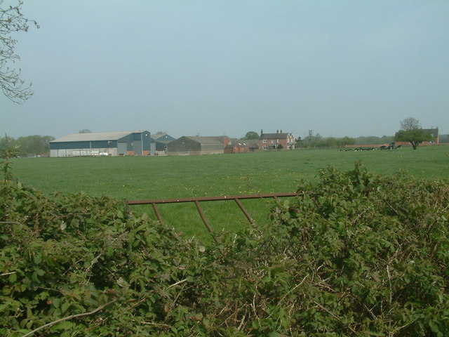
Knowle Farm - geograph.org.uk - 131669.jpg - GeographBot

Pine Trees by the Road - geograph.org.uk - 130231.jpg - GeographBot

Lichfield Friary Lawn Tennis Club - geograph.org.uk - 145040.jpg - GeographBot

Anglesey Basin - geograph.org.uk - 187973.jpg - GeographBot

Clump of Trees - geograph.org.uk - 210473.jpg - GeographBot

Crossroads and Harvest - geograph.org.uk - 210508.jpg - GeographBot

Common Side, Gentleshaw - geograph.org.uk - 260035.jpg - GeographBot

Coventry Canal, Brookhay - geograph.org.uk - 266214.jpg - GeographBot

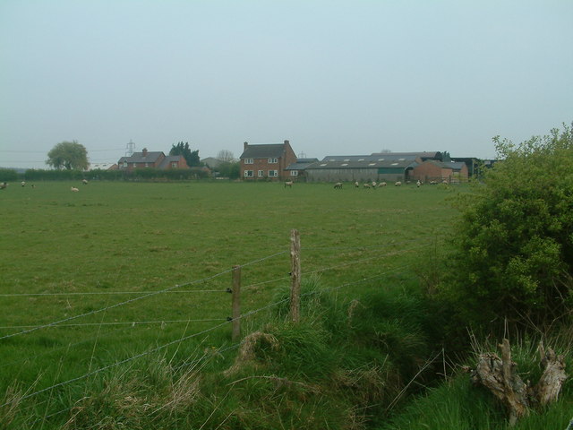
Fisherwick Park Farm - geograph.org.uk - 266206.jpg - GeographBot

Gentleshaw Common - geograph.org.uk - 260039.jpg - GeographBot

Gentleshaw Common - geograph.org.uk - 260041.jpg - GeographBot

Level Crossing, Brookhay - geograph.org.uk - 266210.jpg - GeographBot

Level Crossing, Hademore - geograph.org.uk - 266192.jpg - GeographBot

Main Street, Whittington At Junction With Church Street - geograph.org.uk - 266190.jpg - GeographBot

Meg Lane, Boney Hay - geograph.org.uk - 260043.jpg - GeographBot

Near Brookhay - geograph.org.uk - 266215.jpg - GeographBot

St. Giles Hospice, Whittington - geograph.org.uk - 266188.jpg - GeographBot

Stubby Lea Farm - geograph.org.uk - 266193.jpg - GeographBot

View From Meg Lane - geograph.org.uk - 260033.jpg - GeographBot

Whittington Hurst Farm - geograph.org.uk - 266208.jpg - GeographBot

Copse of trees and open farmland - geograph.org.uk - 279421.jpg - GeographBot

Entrance road to Ryknild Livery - geograph.org.uk - 279430.jpg - GeographBot

Entrance to Little Aston Hall Park and Lakeside - geograph.org.uk - 279437.jpg - GeographBot

Footbridge Near The Old Schoolhouse - geograph.org.uk - 277564.jpg - GeographBot

Forge Farm Outbuildings - geograph.org.uk - 279420.jpg - GeographBot

Little Aston BUPA Hospital - geograph.org.uk - 279438.jpg - GeographBot

Little Aston Primary School - geograph.org.uk - 279431.jpg - GeographBot

Little Aston Sewage Works - geograph.org.uk - 279423.jpg - GeographBot

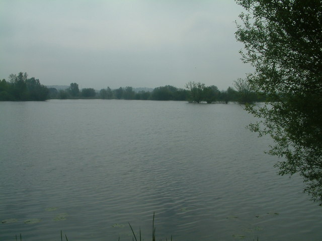
Pool near to Nethertown - geograph.org.uk - 276506.jpg - GeographBot

Reclaimed woodland and lake next to the Trent and Mersey canal at Fradley Junction - geograph.org.uk - 275215.jpg - GeographBot

Sewage Treatment Plant - geograph.org.uk - 279426.jpg - GeographBot

Bridleway Near Breretonhill - geograph.org.uk - 285680.jpg - GeographBot

Bridleway To Foley Farm - geograph.org.uk - 285683.jpg - GeographBot

Carroway Head - geograph.org.uk - 285974.jpg - GeographBot

Drayton Bassett - geograph.org.uk - 285980.jpg - GeographBot

Farmland near Shirrall Farm - geograph.org.uk - 285977.jpg - GeographBot

Field Entrance off Portleys Lane - geograph.org.uk - 285982.jpg - GeographBot

Pool at Shirrall Hall Farm - geograph.org.uk - 285976.jpg - GeographBot

Shirrall Drive, Carroway Head - geograph.org.uk - 285973.jpg - GeographBot

Shirrall Hall Farm - geograph.org.uk - 285975.jpg - GeographBot

Stream and Berries - geograph.org.uk - 285978.jpg - GeographBot
"4 tracking" - rail engineering works - geograph.org.uk - 298357.jpg - GeographBot

A513 towards Kings Bromley - geograph.org.uk - 298927.jpg - GeographBot

Construction of new road bridge on A515 - geograph.org.uk - 298843.jpg - GeographBot

Fradley Reservoir - geograph.org.uk - 291911.jpg - GeographBot

Seedy Mill Treatment Works - geograph.org.uk - 298854.jpg - GeographBot

Coachhouse near to Orgreave Hall - geograph.org.uk - 307463.jpg - GeographBot

Oak Farm Green Barns Lane, Weeford - geograph.org.uk - 308260.jpg - GeographBot

Bridleway and Sofa - geograph.org.uk - 316465.jpg - GeographBot

Dead End Railway - geograph.org.uk - 316425.jpg - GeographBot

Footpath Jungle - geograph.org.uk - 316469.jpg - GeographBot

Footpath to the A5 - geograph.org.uk - 316414.jpg - GeographBot

Muddy Bridleway - geograph.org.uk - 316445.jpg - GeographBot

Muddy Field and Toll Road - geograph.org.uk - 316456.jpg - GeographBot

Rusty Rails - geograph.org.uk - 316448.jpg - GeographBot

Sewage Works Road - geograph.org.uk - 316438.jpg - GeographBot

T Shaped Bridleway - geograph.org.uk - 316433.jpg - GeographBot

Black Brook - geograph.org.uk - 323394.jpg - GeographBot

Blackbrook Antiques Village - geograph.org.uk - 322992.jpg - GeographBot

Bridges over the Black Brook - geograph.org.uk - 322977.jpg - GeographBot

Cyclist on Park Road - geograph.org.uk - 323496.jpg - GeographBot

Dismounting Block - geograph.org.uk - 323423.jpg - GeographBot

Former Garage, now a shop. - geograph.org.uk - 322908.jpg - GeographBot

Lichfield Road looking back towards Walsall - geograph.org.uk - 322834.jpg - GeographBot

Little Hay Pumping Station - geograph.org.uk - 322934.jpg - GeographBot

Lodge to Shenstone Court - geograph.org.uk - 322921.jpg - GeographBot

Lowood Cottage - geograph.org.uk - 322886.jpg - GeographBot

More than a bit of superglue required here - geograph.org.uk - 323468.jpg - GeographBot

Old Chestnut Tree - geograph.org.uk - 329663.jpg - GeographBot

Shenstone Park Farm - geograph.org.uk - 323484.jpg - GeographBot

Strawberry Fields Forever^ - geograph.org.uk - 327057.jpg - GeographBot

Streetway House - geograph.org.uk - 323010.jpg - GeographBot

Thickbroom Farmhouse - geograph.org.uk - 323379.jpg - GeographBot

Country lane - geograph.org.uk - 336870.jpg - GeographBot

Footpath from Bardey Lane - geograph.org.uk - 332686.jpg - GeographBot

Maple Hayes School - geograph.org.uk - 331938.jpg - GeographBot

Minor Road - geograph.org.uk - 336826.jpg - GeographBot

The Abnalls - geograph.org.uk - 330470.jpg - GeographBot

Fradley Wood, north of the Trent and Mersey Canal - geograph.org.uk - 373551.jpg - GeographBot

M6 Toll Road, approaching Weeford - geograph.org.uk - 372694.jpg - GeographBot

Footpath to Seal Fields Farm - geograph.org.uk - 389910.jpg - GeographBot

Road towards No Man's Heath - geograph.org.uk - 389970.jpg - GeographBot

Track to Bandland Farm - geograph.org.uk - 389918.jpg - GeographBot

Borough Lane, Longdon - geograph.org.uk - 390720.jpg - GeographBot

Fields near Stonywell - geograph.org.uk - 391833.jpg - GeographBot

Fisherwick Trout Pool - geograph.org.uk - 392452.jpg - GeographBot

Footpath Near Longdon - geograph.org.uk - 391818.jpg - GeographBot

Footpath Near Longdon - geograph.org.uk - 391821.jpg - GeographBot

Footpath Near Longdon - geograph.org.uk - 391824.jpg - GeographBot

Footpath off Giddywell Lane - geograph.org.uk - 390402.jpg - GeographBot

Giddywell Lane, Longdon - geograph.org.uk - 390397.jpg - GeographBot

Heart of England Way, Creswell Green - geograph.org.uk - 396964.jpg - GeographBot

Hobstone Hill Lane - geograph.org.uk - 396962.jpg - GeographBot

Junction at Cross Ash - geograph.org.uk - 390703.jpg - GeographBot

Looking towards Chorley - geograph.org.uk - 398784.jpg - GeographBot

Malt House Road, Longdon - geograph.org.uk - 390699.jpg - GeographBot

Near Longdon - geograph.org.uk - 390715.jpg - GeographBot

Near Stonywell - geograph.org.uk - 391835.jpg - GeographBot

Padbury Lane Looking Towards Commonside - geograph.org.uk - 398792.jpg - GeographBot

Pipe Hill Woodland Walk - geograph.org.uk - 396569.jpg - GeographBot

Public Footpath - geograph.org.uk - 391827.jpg - GeographBot

Rookery Farm, Longdon - geograph.org.uk - 391816.jpg - GeographBot

Stream, Creswell Green - geograph.org.uk - 396966.jpg - GeographBot

Acacia Grove - geograph.org.uk - 402158.jpg - GeographBot

Across fields and river to Poplars Farm - geograph.org.uk - 402226.jpg - GeographBot

Across the fields to Haunton Hall - geograph.org.uk - 402065.jpg - GeographBot

Another field of rapeseed - geograph.org.uk - 402047.jpg - GeographBot

Arcing field boundary - geograph.org.uk - 408264.jpg - GeographBot

Binns Farm, Elmhurst - geograph.org.uk - 400388.jpg - GeographBot

Brick Kiln Pits - geograph.org.uk - 408219.jpg - GeographBot

Broadfields Farm looking across Pessall Brook - geograph.org.uk - 408151.jpg - GeographBot
Brook House farm - geograph.org.uk - 408394.jpg - GeographBot

Clay pigeon to shoot - geograph.org.uk - 408375.jpg - GeographBot

Cleat Hill Farm, Longdon Green - geograph.org.uk - 400381.jpg - GeographBot

Derelict Mill from the North - geograph.org.uk - 402297.jpg - GeographBot

Dried out pond from the public footpath - geograph.org.uk - 408173.jpg - GeographBot

Footbridge, Pipe Hill Woodland Walk - geograph.org.uk - 403236.jpg - GeographBot

Footbridge over the River Mease - geograph.org.uk - 403065.jpg - GeographBot

Footpath Near Cleat Hill Farm - geograph.org.uk - 400380.jpg - GeographBot

Footpath round the Mill - geograph.org.uk - 402259.jpg - GeographBot

Going South - geograph.org.uk - 402038.jpg - GeographBot

Haunton 3517 unodorised natural gas installation - geograph.org.uk - 402024.jpg - GeographBot

Muck Spreading at Harlaston - geograph.org.uk - 402328.jpg - GeographBot

Near Sunnyside - geograph.org.uk - 400385.jpg - GeographBot

Pessall Brook from the footpath bridge - geograph.org.uk - 408159.jpg - GeographBot

Pessall Farm - Northern element - geograph.org.uk - 408203.jpg - GeographBot
Pessall Farm - Southern element - geograph.org.uk - 408180.jpg - GeographBot

Pile of tyres - geograph.org.uk - 402129.jpg - GeographBot

Pipe Hill Woodland Walk - geograph.org.uk - 403221.jpg - GeographBot

Pipe Hill Woodland Walk - geograph.org.uk - 403224.jpg - GeographBot

Pipe Hill Woodland Walk - geograph.org.uk - 403231.jpg - GeographBot

Small field of trees - geograph.org.uk - 402075.jpg - GeographBot

Stagnant watering hole - geograph.org.uk - 402117.jpg - GeographBot

Straight road from Edingale - geograph.org.uk - 402400.jpg - GeographBot

T junction - left Brick Kiln Pits - Right Homestall Wood - geograph.org.uk - 408230.jpg - GeographBot

Telephone poles with a solid wood protection - geograph.org.uk - 402424.jpg - GeographBot

Towards Pessall Brook - geograph.org.uk - 408194.jpg - GeographBot

Track Near Rugeley - geograph.org.uk - 403195.jpg - GeographBot

Trees line following Pessall Brook - geograph.org.uk - 408297.jpg - GeographBot

Twizles Lane - geograph.org.uk - 402090.jpg - GeographBot

View From Footpath - geograph.org.uk - 400395.jpg - GeographBot

Walking Towards Rugeley - geograph.org.uk - 402978.jpg - GeographBot

Watery Hole - geograph.org.uk - 408248.jpg - GeographBot

Farmland near Shirrall Hall - geograph.org.uk - 415105.jpg - GeographBot

Initials carved in the sandstone over many years. - geograph.org.uk - 419179.jpg - GeographBot

Looking across the track - geograph.org.uk - 417368.jpg - GeographBot

Streethay Wharf - geograph.org.uk - 413896.jpg - GeographBot
The first fishing lake - geograph.org.uk - 417378.jpg - GeographBot

The train now standing - geograph.org.uk - 417388.jpg - GeographBot

Wyvale Garden Centre seen from near Shenstone Mill - geograph.org.uk - 419213.jpg - GeographBot

Arable fields - geograph.org.uk - 429024.jpg - GeographBot

Ashmore Brook - geograph.org.uk - 424338.jpg - GeographBot

Back lane to Whitemoor Haye - geograph.org.uk - 429037.jpg - GeographBot

Bridge Over Stream, Longdon - geograph.org.uk - 425823.jpg - GeographBot

Cross In Hand Lane, Ashmore Brook - geograph.org.uk - 422489.jpg - GeographBot

End of the path - geograph.org.uk - 428159.jpg - GeographBot

Field and wood - geograph.org.uk - 429002.jpg - GeographBot

Fisherwick Lakes - geograph.org.uk - 428962.jpg - GeographBot

Footpath From Farewell To Longdon Green - geograph.org.uk - 421981.jpg - GeographBot

Footpath From Farewell To Longdon Green - geograph.org.uk - 421985.jpg - GeographBot

Footpath Near Farewell - geograph.org.uk - 420987.jpg - GeographBot

Footpath Near Longdon Green - geograph.org.uk - 422484.jpg - GeographBot

Hide and seek - geograph.org.uk - 428977.jpg - GeographBot

Keepers Lodge - geograph.org.uk - 424343.jpg - GeographBot

Lock Restoration, Lichfield Canal - geograph.org.uk - 428924.jpg - GeographBot
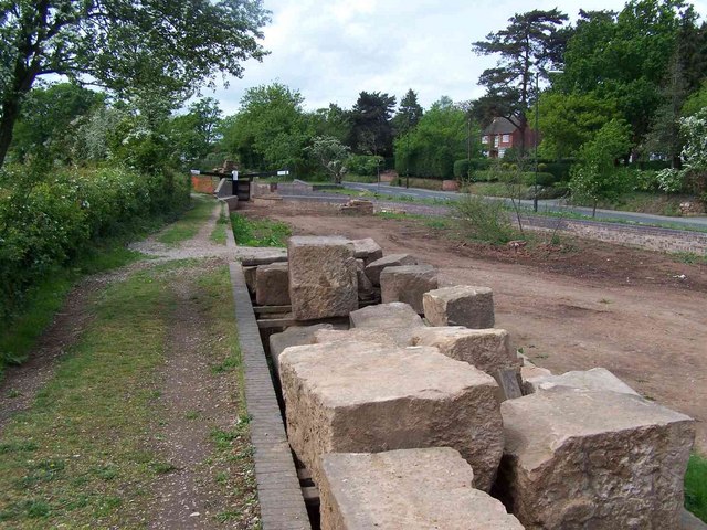
Lock Restoration, Lichfield Canal - geograph.org.uk - 428925.jpg - GeographBot

Looking Towards Pipe Coppice - geograph.org.uk - 424340.jpg - GeographBot

Near Farewell - geograph.org.uk - 421956.jpg - GeographBot

One Brown Cow - geograph.org.uk - 428969.jpg - GeographBot

Over the border - geograph.org.uk - 422014.jpg - GeographBot

Park Farm - geograph.org.uk - 429014.jpg - GeographBot

Roadside and field - geograph.org.uk - 428997.jpg - GeographBot

Small airfield - geograph.org.uk - 429054.jpg - GeographBot

The A38 - geograph.org.uk - 428171.jpg - GeographBot

Across to the pylons - geograph.org.uk - 433017.jpg - GeographBot

And they're off^ - geograph.org.uk - 439462.jpg - GeographBot

Another sleeper done - geograph.org.uk - 433417.jpg - GeographBot

Arable farmland - geograph.org.uk - 436957.jpg - GeographBot

Back lane - geograph.org.uk - 436667.jpg - GeographBot

Bangley Lane looking towards Hints Farm - geograph.org.uk - 432868.jpg - GeographBot

Blithbury Road - geograph.org.uk - 434376.jpg - GeographBot

Boring buildings - geograph.org.uk - 432676.jpg - GeographBot

Brick Kiln Lane near Stockfields - geograph.org.uk - 432837.jpg - GeographBot

Bridge on the way to Newlands - geograph.org.uk - 439372.jpg - GeographBot

Bridge over the river - geograph.org.uk - 432953.jpg - GeographBot

Brock Hurst - geograph.org.uk - 432824.jpg - GeographBot

Building works at Newlands cottages - geograph.org.uk - 439379.jpg - GeographBot

Canwell Estate, Brick Kiln Lane - geograph.org.uk - 432842.jpg - GeographBot

Chads - geograph.org.uk - 436962.jpg - GeographBot

Church lane - geograph.org.uk - 436647.jpg - GeographBot

Common Lane Cow - geograph.org.uk - 436682.jpg - GeographBot

Coventry Canal - geograph.org.uk - 433045.jpg - GeographBot

Coventry Canal heading South - geograph.org.uk - 432604.jpg - GeographBot

Curborough House - geograph.org.uk - 432706.jpg - GeographBot

Drainage stream from Business park - geograph.org.uk - 432681.jpg - GeographBot

Farmer rolling his field - geograph.org.uk - 432686.jpg - GeographBot

Field Near Colton - geograph.org.uk - 434409.jpg - GeographBot

Field and cottage - geograph.org.uk - 436658.jpg - GeographBot

Field of grass - geograph.org.uk - 436971.jpg - GeographBot

Fields Near Longdon - geograph.org.uk - 437929.jpg - GeographBot

Fishing lake at Curborough - geograph.org.uk - 433433.jpg - GeographBot

Fishing under cover - geograph.org.uk - 433438.jpg - GeographBot

Footpath Near Ashmore Brook - geograph.org.uk - 430653.jpg - GeographBot

Footpath Near Longdon - geograph.org.uk - 437922.jpg - GeographBot

Footpath Off Hollow Lane - geograph.org.uk - 434368.jpg - GeographBot

Footpath To Barn Farm - geograph.org.uk - 437671.jpg - GeographBot

Footpath To Longdon - geograph.org.uk - 437918.jpg - GeographBot

Footpath To Quinton's Orchard - geograph.org.uk - 434387.jpg - GeographBot

Footpath start - geograph.org.uk - 432697.jpg - GeographBot

Footpath to Ashton Hayes - geograph.org.uk - 436699.jpg - GeographBot

Footpaths and railway - geograph.org.uk - 432982.jpg - GeographBot

For Sale - geograph.org.uk - 433012.jpg - GeographBot

Ford in the field, Bridge on the road - geograph.org.uk - 439476.jpg - GeographBot

Fordway Farm, Lower Bangley - geograph.org.uk - 432796.jpg - GeographBot

Go-Karting in the rain - geograph.org.uk - 433556.jpg - GeographBot

Going down hill, Ash Hill - geograph.org.uk - 439470.jpg - GeographBot

Ground conveyor - geograph.org.uk - 433027.jpg - GeographBot

Growing Barley - geograph.org.uk - 436669.jpg - GeographBot

Hayend From Blithbury Road - geograph.org.uk - 434416.jpg - GeographBot

Lake by the Coventry Canal - geograph.org.uk - 433585.jpg - GeographBot

Lane Near Woodhouse Farm - geograph.org.uk - 434395.jpg - GeographBot

Lichfield Road and Seedcroft Lane junction - geograph.org.uk - 439315.jpg - GeographBot

Little Lyntus wood - geograph.org.uk - 433542.jpg - GeographBot

Looking North - More industrial units - geograph.org.uk - 432698.jpg - GeographBot

Looking North across the fields - geograph.org.uk - 432712.jpg - GeographBot

Lower Bangley Farm - geograph.org.uk - 432801.jpg - GeographBot

Lupin Farm - geograph.org.uk - 436655.jpg - GeographBot

Lupin equestrian centre - geograph.org.uk - 436653.jpg - GeographBot

Meadow Near Longdon - geograph.org.uk - 438025.jpg - GeographBot

Narrowboats - geograph.org.uk - 433040.jpg - GeographBot

Near Stonyford House - geograph.org.uk - 434441.jpg - GeographBot

Bridleway gates, Rileyhill, Staffs - geograph.org.uk - 440120.jpg - GeographBot

New track, New footbridge - geograph.org.uk - 433337.jpg - GeographBot

New tracks - geograph.org.uk - 436692.jpg - GeographBot

Newlands Grange - geograph.org.uk - 439399.jpg - GeographBot

No through road - geograph.org.uk - 436649.jpg - GeographBot

Not quite there yet. - geograph.org.uk - 433571.jpg - GeographBot

Off the beaten track - geograph.org.uk - 432701.jpg - GeographBot

Old road - geograph.org.uk - 436652.jpg - GeographBot

Outskirts of Chorley - geograph.org.uk - 430665.jpg - GeographBot

Priory Farm - dog - geograph.org.uk - 439501.jpg - GeographBot

Private lake on an industrial estate. - geograph.org.uk - 432655.jpg - GeographBot

Quarry and Landfill Site - geograph.org.uk - 433023.jpg - GeographBot

Rape field and Three Parish Wood - geograph.org.uk - 432860.jpg - GeographBot

Sand and Gravel Plant - geograph.org.uk - 432932.jpg - GeographBot

Sand and Gravel processing - geograph.org.uk - 432924.jpg - GeographBot

Staffordshire Countryside - geograph.org.uk - 432812.jpg - GeographBot

Stonyford Lane - geograph.org.uk - 434435.jpg - GeographBot

Sweeping curve towards Ash Hill - geograph.org.uk - 439426.jpg - GeographBot

Temporary Road Closure - geograph.org.uk - 433035.jpg - GeographBot

The buffer zone field - geograph.org.uk - 432633.jpg - GeographBot

The ford at Priory Farm - geograph.org.uk - 439494.jpg - GeographBot

Tomhay Cottage - geograph.org.uk - 436660.jpg - GeographBot

Towards Gorse Hill from Newlands Grange - geograph.org.uk - 439415.jpg - GeographBot

Towpath to Bell Bridge on the Coventry Canal - geograph.org.uk - 432598.jpg - GeographBot

Track From Lount Farm - geograph.org.uk - 434354.jpg - GeographBot

Track to Alrewas Hayes - geograph.org.uk - 436677.jpg - GeographBot

Track to Ravenshaw Wood - geograph.org.uk - 436657.jpg - GeographBot

Trees - geograph.org.uk - 436654.jpg - GeographBot

Trees mark the way - geograph.org.uk - 432708.jpg - GeographBot

View From Stonyford Lane - geograph.org.uk - 434430.jpg - GeographBot

Waggoner's Lane - geograph.org.uk - 432821.jpg - GeographBot

Waiting for rain - geograph.org.uk - 432988.jpg - GeographBot

Wetleyhay Wood - geograph.org.uk - 433019.jpg - GeographBot

What lake ^ - geograph.org.uk - 432643.jpg - GeographBot

Where business park and fields meet - geograph.org.uk - 432693.jpg - GeographBot

Willow Wood - geograph.org.uk - 436674.jpg - GeographBot

A51, Brereton Cross - geograph.org.uk - 442649.jpg - GeographBot

Bridleway, Freeford - geograph.org.uk - 443468.jpg - GeographBot

Bridleway across the Freeford Estate - geograph.org.uk - 443467.jpg - GeographBot
Bridleway and peas - geograph.org.uk - 440113.jpg - GeographBot

Car boot site - geograph.org.uk - 442274.jpg - GeographBot

Common Lane - geograph.org.uk - 440091.jpg - GeographBot

Common Lane Farm - geograph.org.uk - 440110.jpg - GeographBot

Corn - geograph.org.uk - 440105.jpg - GeographBot
Cows and farm buildings - geograph.org.uk - 440122.jpg - GeographBot

Darnford Lane - geograph.org.uk - 443465.jpg - GeographBot

Diverted path - geograph.org.uk - 440083.jpg - GeographBot

Farm bridge - geograph.org.uk - 440134.jpg - GeographBot

Field and wood near Wychnor - geograph.org.uk - 442184.jpg - GeographBot

Fields near Barn Farm - geograph.org.uk - 440098.jpg - GeographBot

Fingerpost and track - geograph.org.uk - 440127.jpg - GeographBot

Footpath Past Manor Farm, Mavesyn Ridware - geograph.org.uk - 445376.jpg - GeographBot

Footpath To Armitage - geograph.org.uk - 442639.jpg - GeographBot

Footpath To Mavesyn Ridware - geograph.org.uk - 445373.jpg - GeographBot

Footpath To Wychnor - geograph.org.uk - 445993.jpg - GeographBot

Footpath to Glebe Farm - geograph.org.uk - 442272.jpg - GeographBot

Glebe Farm - geograph.org.uk - 442270.jpg - GeographBot

Hill Farm, Whittington - geograph.org.uk - 443463.jpg - GeographBot

Holly Flower - geograph.org.uk - 440913.jpg - GeographBot

Longbarn Farm, Bardy Lane, Brereton Cross - geograph.org.uk - 442568.jpg - GeographBot

Mud and new track - geograph.org.uk - 440924.jpg - GeographBot

Near Admaston - geograph.org.uk - 448906.jpg - GeographBot

Near Brereton Cross - geograph.org.uk - 442647.jpg - GeographBot

Near Hamley House - geograph.org.uk - 448941.jpg - GeographBot

Near Whittington - geograph.org.uk - 443454.jpg - GeographBot

No through road - geograph.org.uk - 440090.jpg - GeographBot

Polytunnels - geograph.org.uk - 440931.jpg - GeographBot

Private lane - geograph.org.uk - 442268.jpg - GeographBot

Rear of Ashton Hayes - geograph.org.uk - 440934.jpg - GeographBot

Ridware Hall - geograph.org.uk - 445012.jpg - GeographBot

Seedlings - geograph.org.uk - 440087.jpg - GeographBot

Through the Wheat - geograph.org.uk - 440132.jpg - GeographBot

Track and gas pipe - geograph.org.uk - 442174.jpg - GeographBot

Track and pipes - geograph.org.uk - 440129.jpg - GeographBot

Tracks - geograph.org.uk - 442181.jpg - GeographBot

Woodgate Cottage - geograph.org.uk - 440076.jpg - GeographBot

Bridge Over Stream - geograph.org.uk - 459492.jpg - GeographBot

Coton House, Vicarage Lane, Whittington - geograph.org.uk - 456835.jpg - GeographBot

Footpath From Longdon To Armitage - geograph.org.uk - 452245.jpg - GeographBot

Footpath On Whittington Heath - geograph.org.uk - 456823.jpg - GeographBot

Footpath To Manor Farm - geograph.org.uk - 459490.jpg - GeographBot

Grazing Land Near Longdon - geograph.org.uk - 452252.jpg - GeographBot

Houses In Armitage - geograph.org.uk - 452240.jpg - GeographBot

Main Line Near Rugeley Power Station - geograph.org.uk - 455930.jpg - GeographBot

Near Whittington - geograph.org.uk - 456830.jpg - GeographBot

Pipe Wood Lane, Blithbury - geograph.org.uk - 455948.jpg - GeographBot

Track Near Longdon - geograph.org.uk - 452227.jpg - GeographBot

Trent Valley and Railway Bridge - geograph.org.uk - 459485.jpg - GeographBot

Lady pole climbing Telephone Engineer - geograph.org.uk - 467324.jpg - GeographBot

Church of England Primary School - geograph.org.uk - 489737.jpg - GeographBot

Green Wood - geograph.org.uk - 498257.jpg - GeographBot

Hopwas Hays Wood - geograph.org.uk - 491962.jpg - GeographBot

M6 Toll Northern Relief Road - geograph.org.uk - 498286.jpg - GeographBot

Arable land on the edge of Fazeley - geograph.org.uk - 531751.jpg - GeographBot

Footpath Near Colton - geograph.org.uk - 530078.jpg - GeographBot

Gainsborough Drive, Mile Oak - geograph.org.uk - 531753.jpg - GeographBot

Footpath To Hunger Hill - geograph.org.uk - 555420.jpg - GeographBot

Footpath To Hunger Hill - geograph.org.uk - 555422.jpg - GeographBot

Footpath To Nethertown - geograph.org.uk - 555408.jpg - GeographBot

Electrified Main Line, Elmhurst - geograph.org.uk - 568599.jpg - GeographBot

Erasmus Darwin Way, Near Elmhurst - geograph.org.uk - 568611.jpg - GeographBot

Footpath off Fox Lane, Elmhurst - geograph.org.uk - 568609.jpg - GeographBot

Fox Lane, Elmhurst - geograph.org.uk - 568606.jpg - GeographBot

New island on Rugeley Bypass - geograph.org.uk - 564149.jpg - GeographBot

Ploughed Fields Near Elmhurst - geograph.org.uk - 568613.jpg - GeographBot

Railway Bridge over Coventry Canal - geograph.org.uk - 563343.jpg - GeographBot

Restored bridge over River Trent from Rugeley Bypass - geograph.org.uk - 564252.jpg - GeographBot

Road Junction, Elmhurst - geograph.org.uk - 568593.jpg - GeographBot

Rugeley Bypass looking North West - geograph.org.uk - 564928.jpg - GeographBot

Rugeley Bypass looking South East towards power station - geograph.org.uk - 564908.jpg - GeographBot

The Elms Community Centre, Elmhurst - geograph.org.uk - 568591.jpg - GeographBot

Tolson's Mill, Fazeley - geograph.org.uk - 675630.jpg - GeographBot

Tolson's Mill Fazeley - geograph.org.uk - 675617.jpg - GeographBot

Brereton Hayes Wood - geograph.org.uk - 682639.jpg - GeographBot

Bridleway in Brereton Hayes Wood - geograph.org.uk - 682618.jpg - GeographBot

Footpath In Brereton Hayes Wood - geograph.org.uk - 681664.jpg - GeographBot

Hill On Startley Lane - geograph.org.uk - 681653.jpg - GeographBot

Hopwas Pumping Station - geograph.org.uk - 686619.jpg - GeographBot

Startley Lane, Upper Longdon - geograph.org.uk - 681650.jpg - GeographBot

Startley Lane - geograph.org.uk - 681658.jpg - GeographBot

Daisy Lane, near Alrewas - geograph.org.uk - 690151.jpg - GeographBot

Fields of stubble near Alrewas - geograph.org.uk - 690153.jpg - GeographBot

Footpath to Alrewas - geograph.org.uk - 690149.jpg - GeographBot

Lichfield Harehurst Hill.jpg - Bs0u10e01

Coventry Canal, Fazeley - geograph.org.uk - 713531.jpg - GeographBot

Foresters Tavern, Boney Hay - geograph.org.uk - 716297.jpg - GeographBot

Footpath along the county border - geograph.org.uk - 743592.jpg - GeographBot
4 Track Main Line, Hanch - geograph.org.uk - 804708.jpg - GeographBot

Bailey Bridge over the River Trent - geograph.org.uk - 848899.jpg - GeographBot

Colton central - geograph.org.uk - 1439882.jpg - GeographBot

Dead End - geograph.org.uk - 1439854.jpg - GeographBot

Factory entrance - geograph.org.uk - 1439873.jpg - GeographBot
Back lane Footherley - geograph.org.uk - 1482465.jpg - GeographBot
Bridleway To Hilltop Farm - geograph.org.uk - 1485198.jpg - GeographBot
Bridleway To Wall - geograph.org.uk - 1482943.jpg - GeographBot

Almshouses in Manor Road - geograph.org.uk - 1519597.jpg - GeographBot

Bridge over overflow ditch - geograph.org.uk - 1519581.jpg - GeographBot

Arable land north of Thorpe Constable - geograph.org.uk - 1804293.jpg - GeographBot

Lichfield Harehurst Hill 2.jpg - Bs0u10e01

Lichfield District Council House Front.jpg - ChrisLear

Swan at Whittington.jpg - Bs0u10e01

Chasewater February 2012.jpg - Bs0u10e01

CW Pano.jpg - Bs0u10e01

Norton Pool early 1900s.png - Stove1441

Chasewater Valve House.jpg - Stove1441

Chasewater Dam.jpg - Bs0u10e01

Former Lichfield Grammar School (01).JPG - HJ Mitchell

Former Lichfield Grammar School (03).JPG - HJ Mitchell

Former Lichfield Grammar School (02).JPG - HJ Mitchell

Former Lichfield Grammar School (04).JPG - HJ Mitchell

Former Lichfield Grammar School (06).JPG - HJ Mitchell

Former Lichfield Grammar School (05).JPG - HJ Mitchell

Former Lichfield Grammar School (07).JPG - HJ Mitchell
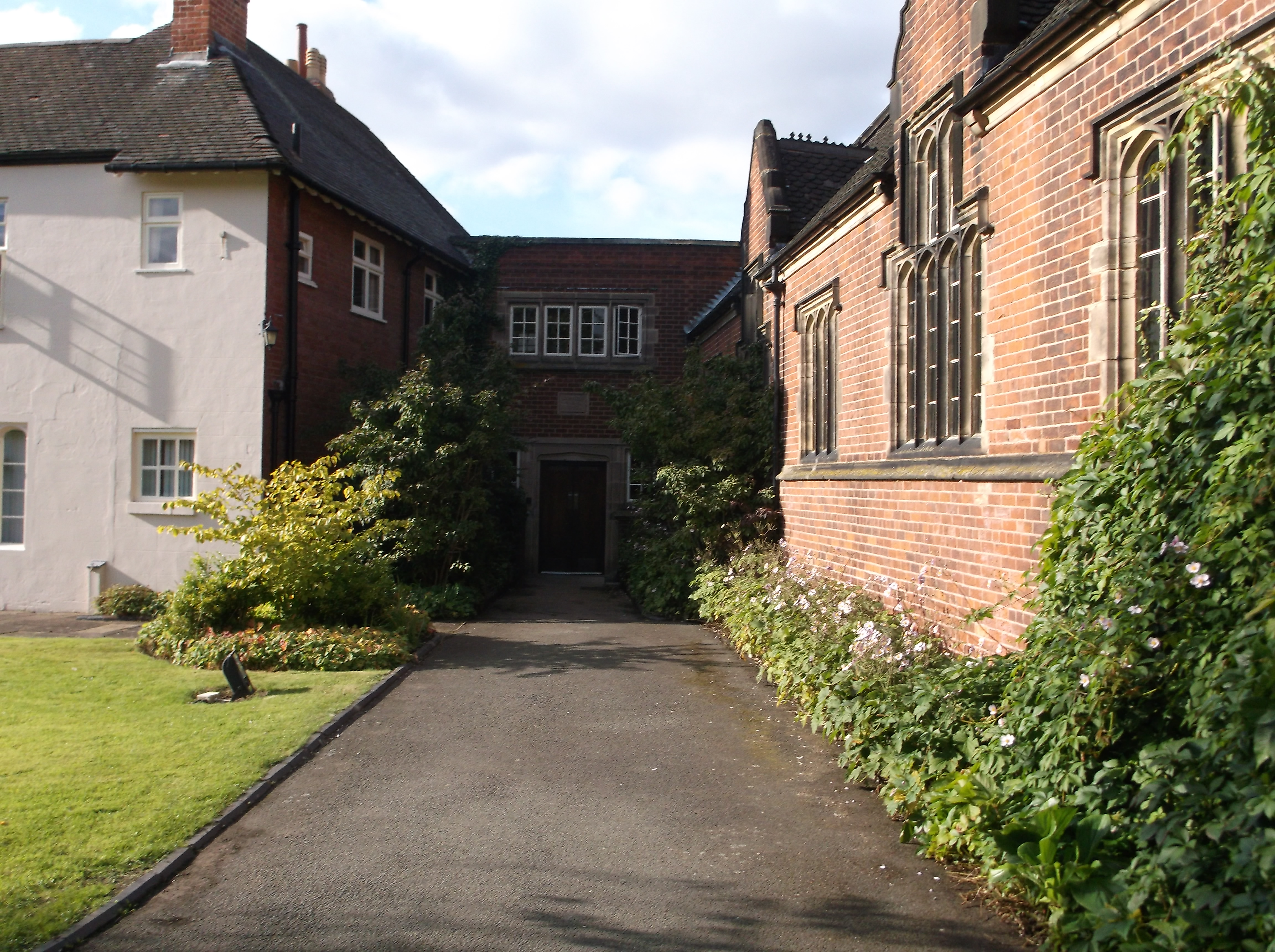
Former Lichfield Grammar School (08).JPG - HJ Mitchell

Former Lichfield Grammar School (09).JPG - HJ Mitchell

Former Lichfield Grammar School (10).JPG - HJ Mitchell

Former Lichfield Grammar School (11).JPG - HJ Mitchell

Former Lichfield Grammar School (12).JPG - HJ Mitchell

Former Lichfield Grammar School (13).JPG - HJ Mitchell

Former Lichfield Grammar School (14).JPG - HJ Mitchell

POPPY FIELD - panoramio.jpg - Panoramio upload bot

YUK - panoramio.jpg - Panoramio upload bot

Fradley Junction Coventry Canal - panoramio.jpg - Panoramio upload bot

Green - panoramio (44).jpg - Panoramio upload bot
LDC logo 2020 black.jpg - WikiAlec222
LDC logo 2020 large.jpg - WikiAlec222

Lichfield District Council House 2.jpg - Stortford

Lichfield UK ward map 2023.svg - Into oblivion

Lichfield UK ward map 2019.svg - Alextheconservative

Lichfield UK ward map 2015.svg - Alextheconservative