Wikimedi'Òc
Modes d'emploi

Cet album fait partie des albums
Cet album photos contient les sous-albums suivants :


Karte Gemeinde Le Lieu.png - Tschubby

Karte Gemeinde Le Lieu 2007.png - Tschubby

Karte Gemeinde Le Lieu 2008.png - Tschubby
Le Lieu.jpg - Manoillon

Prés du Lieu.jpg - Dmst

Frontière franco-suisse Landoz.jpg - Ludo29

00 le lieu.jpg - Waldteufel78

Building in Le Pont (15742824356).jpg - Hiku2

Frontière franco-suisse du Poteau - img 39371.jpg - Pmau
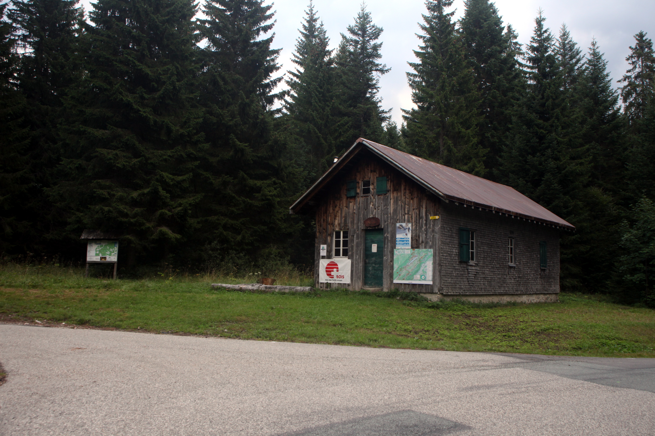
Refuge du Poteau - img 39372.jpg - Pmau

Cassini, Lac de joux.jpg - Pmau

Ferme du Crêt à Chatron Neuf - img 24190.jpg - Pmau

Ferme du Pré Gentet - img 36453.jpg - Pmau

Lac-de-Joux-5.JPG - Alexey M.

Lac-de-Joux-aerial-1.JPG - Alexey M.

Lac-de-Joux-aerial-4.JPG - Alexey M.

Le Lieu - img 42718.jpg - Pmau

Le Lieu - img 44842.jpg - Pmau

Lac de Joux - panoramio - apollo13 (1).jpg - Panoramio upload bot
ETH-BIB-Lac de Joux, Les Charbonnières, Le Pont, L'Abbaye, Séchy, Le Lieu v. N. O. aus 1700 m-Inlandflüge-LBS MH01-006063.tif - ETH-Bibliothek
ETH-BIB-Le Lieu-LBS H1-024745.tif - ETH-Bibliothek
ETH-BIB-Le Lieu-LBS H1-024750.tif - ETH-Bibliothek
ETH-BIB-L'Abbaye-LBS H1-024748.tif - ETH-Bibliothek
ETH-BIB-Le Lieu-LBS H1-024752.tif - ETH-Bibliothek

Le Lieu - img 48236.jpg - Pmau
ETH-BIB-Dachwasser Cisterne auf der Côte Südwest Le Lieu-Dia 247-14705.tif - ETH-Bibliothek
ETH-BIB-Le Lieu, Dent de Vaulion, Bahnhof-Dia 247-14706.tif - ETH-Bibliothek

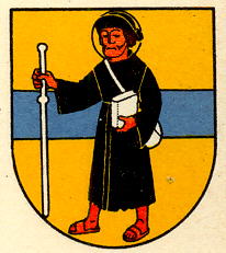
Blason du Lieu.png - FusilMcCul

Village beside Lac Brenet.jpg - Denizb33

Carte commune Le Lieu 2017.png - Christophe95

CHE Le Lieu COA.svg - ARK

CHE Le Lieu Flag.svg - SpinnerLaserzthe2nd
Flag of Le Lieu.gif - Alexphangia

Unbenannte Brücke über die Orbe, Le Pont VD 20221102-jag9889.jpg - Jag9889

Travys-Brücke über die Orbe, Le Pont VD 20221102-jag9889.jpg - Jag9889

Hauptstrasse-Brücke über die Orbe, Le Pont VD 20221102-jag9889.jpg - Jag9889

Le Lieu et dent de Vaulion.jpg - Espandero