Wikimedi'Òc
Modes d'emploi

Cet album fait partie des albums


Lanzarote - Feuerberge im Timanfaja Nationalpark - panoramio.jpg - Panoramio upload bot

Playa del Paso - vue de l'extrémité de la coulée de lave.jpg - Patrice78500

La Santa Trail of Lanzarote - P5140143 (9140793245).jpg - GeoWriter

Uga, im Inneren des unfertigen Wasserspeichers.jpg - GerritR

Uga, im Inneren des unfertigen Wasserspeichers II.jpg - GerritR
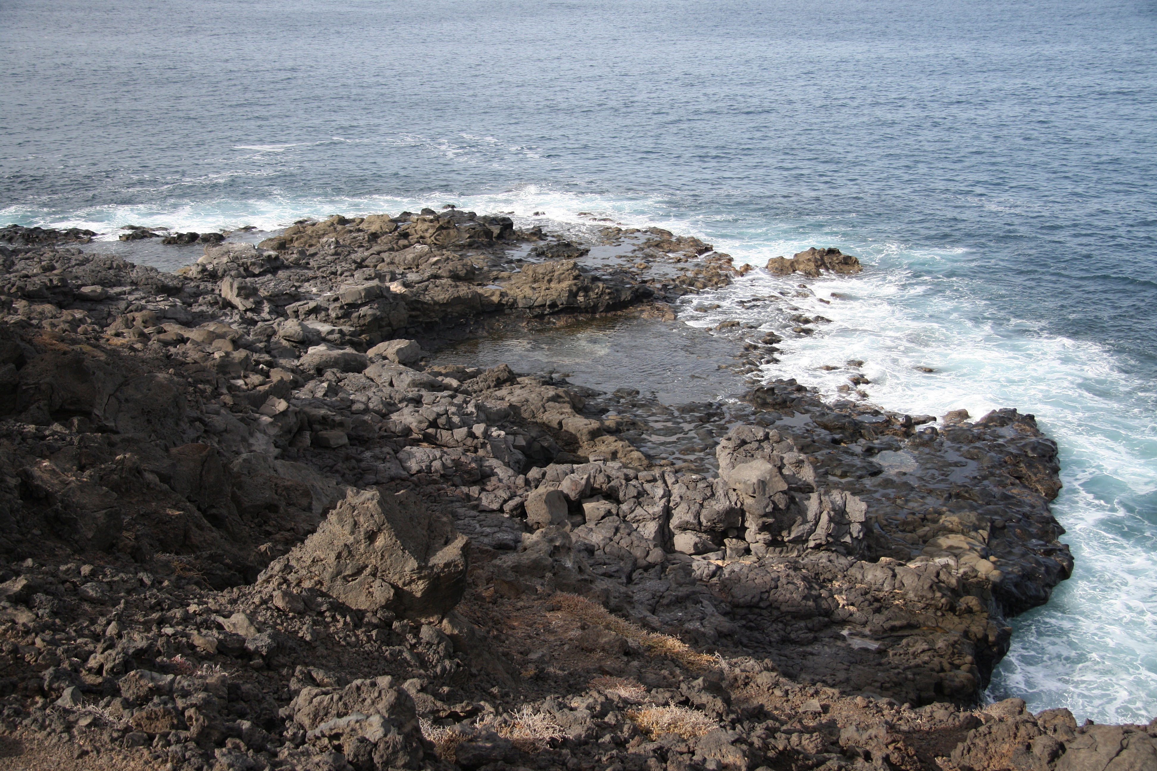
Vulkanische Küste, Südwest-Lanzarote.jpg - GerritR

Vulkanische Küste, Südwest-Lanzarote II.jpg - GerritR

Vulkanische Küste, Südwest-Lanzarote III.jpg - GerritR

Vulkanische Küste, Südwest-Lanzarote IV.jpg - GerritR

Vulkanische Küste, Südwest-Lanzarote V.jpg - GerritR

Vulkanische Küste, Südwest-Lanzarote VI.jpg - GerritR

Vulkanische Küste, Südwest-Lanzarote VIII.jpg - GerritR

Vulkanische Küste, Südwest-Lanzarote IX.jpg - GerritR
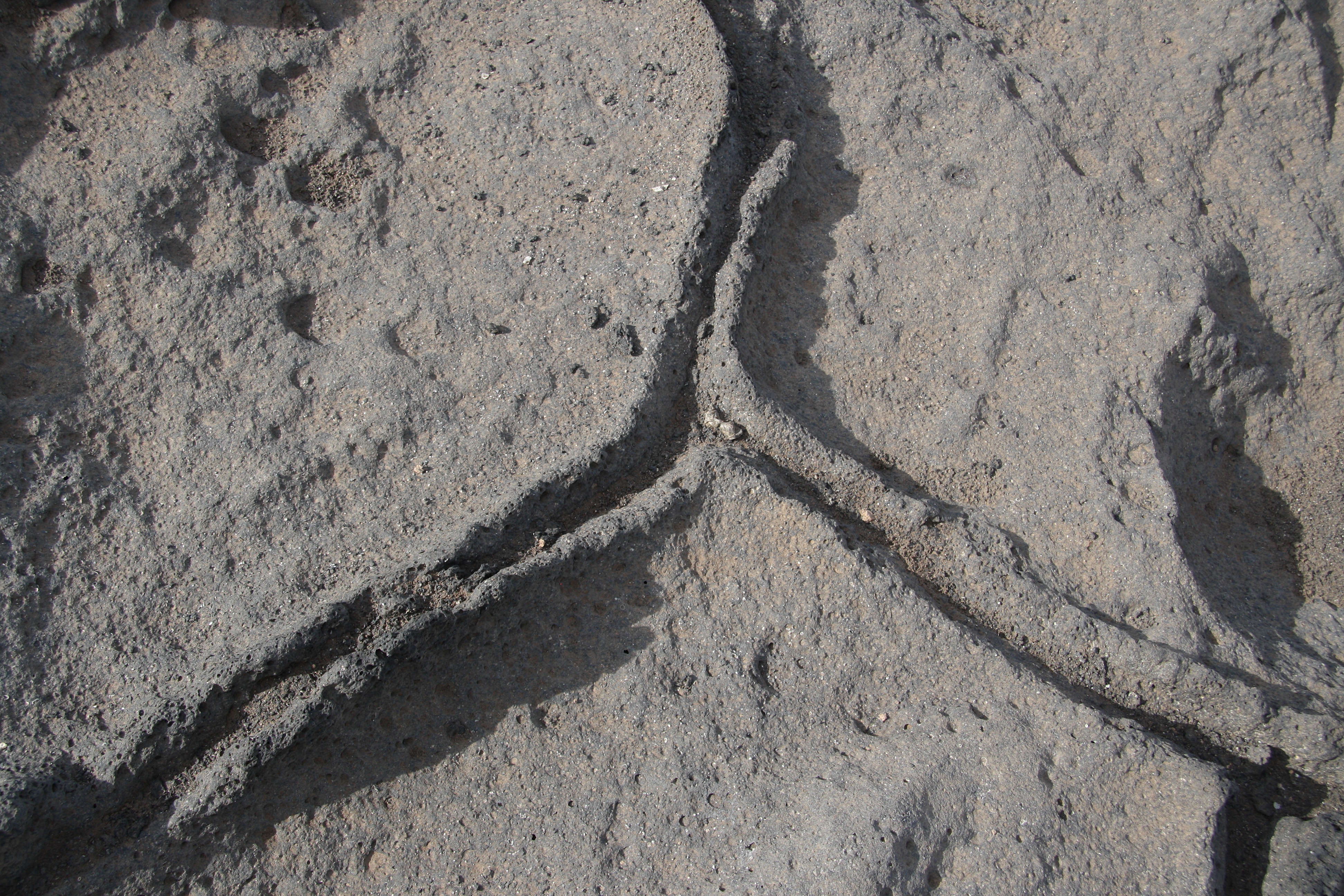
Kissenlava an der Südwestküste von Lanzarote, Detail.jpg - GerritR

Vulkanische Küste, Südwest-Lanzarote X.jpg - GerritR

Vulkanische Küste, Südwest-Lanzarote XI.jpg - GerritR

Vulkanische Küste, Südwest-Lanzarote XII.jpg - GerritR

Vulkanische Küste bei El Golfo. Lanzarote.jpg - GerritR

Vulkanische Küste bei El Golfo, Lanzarote II.jpg - GerritR

Vulkanische Küste bei El Golfo, Lanzarote III.jpg - GerritR

Vulkanische Küste bei El Golfo, Lanzarote IV.jpg - GerritR

Vulkanische Küste bei El Golfo, Lanzarote V.jpg - GerritR

Schaumige Lava bei El Golfo, Lanzarote.jpg - GerritR

Dramatische Wolken über dramatischer Landschaft, Lanzarote II.jpg - GerritR

Wandern im Lavafeld.jpg - GerritR

Wandern im Lavafeld II.jpg - GerritR
Lavafront zwischen Tinajo und Caldera Blanca, Lanzarote.jpg - GerritR

Wandern im Lavafeld III.jpg - GerritR

Links Montaña Caldereta, vorne Caldera Blanca.jpg - GerritR

Blick vom Außenhang der Caldera Blanca in Richtung Nordwestküste, Lanzarote.jpg - GerritR

Blick vom nördlichen Außenrand der Caldera Blanca zur Montaña Teneza, Lanzarote.jpg - GerritR

Blick vom Rand der Caldera Blanca auf Montaña Caldereta, Lanzarote.jpg - GerritR

Detail im Lavafeld unterhalb der Caldera Blanca, Lanzarote.jpg - GerritR

Alte Nutzgärten zwischen den Lavafeldern, Lanzarote.jpg - GerritR

Lavabrocken am Fuß der Caldera Blanca, Lanzarote.jpg - GerritR

Südseite der Caldera Blanca, Lanzarote.jpg - GerritR

Vulkanisches Terrain südlich der Caldera Blanca, Lanzarote.jpg - GerritR

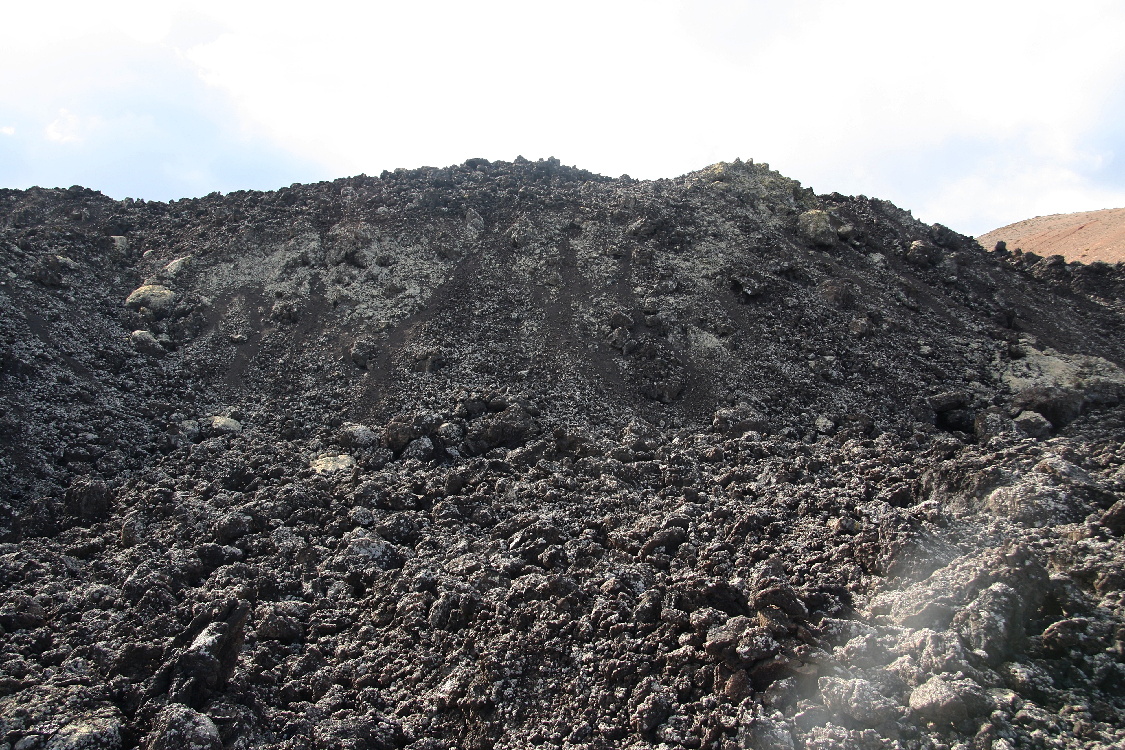
Stalaktiten aus erstarrter Schmelze, Timanfaya-Nationalpark.jpg - GerritR

Stalaktiten aus erstarrter Schmelze, Timanfaya-Nationalpark II.jpg - GerritR

Formen aus erstarrter Schmelze an Hohlräumen im Timanfaya-Nationalpark.jpg - GerritR

05 La Peña de Andía i Órzola des del port.jpg - Enric

Punta Fariones in Lanzarote in Canary Islands 2015.jpg - GeoWriter