Wikimedi'Òc
Modes d'emploi

Cet album fait partie des albums
Cet album photos contient les sous-albums suivants :


Ice shields during the Pleistocene period in North America.svg - Lallint

Ives1978Laurentide-raster.png - Skullers

41598 2018 31166 Fig1 HTML.png - Skullers

Urn cambridge.org id binary 20190821223925574-0441 S002214301900042X S002214301900042X fig1g.jpg - Skullers

Laurentide ice sheet map.jpg - Hemiauchenia
Pleistocene north ice map.jpg - Samulili

Glacial lakes.jpg - Mike McGregor (Can)~commonswiki
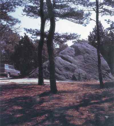
Doane Rock.jpeg - Urdangaray
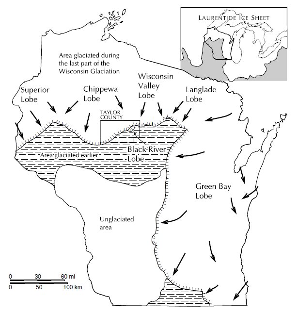
Taylor County glaciation.jpg - Jeff the quiet

Glacial Lakes (4843361745).jpg - File Upload Bot (Magnus Manske)

Glacial Period (4843358055).jpg - File Upload Bot (Magnus Manske)

7,900 Glacial Lake Agassiz & Glacial Lake Ojibway (7900) use fileTeller and Leverington, 2004.jpg - Chris Light
A 1908 Fig 16 Lobes of Retreating Ice (Mich).jpg - Chris Light
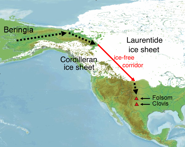
Peopling of America through Beringia.png - Ephert

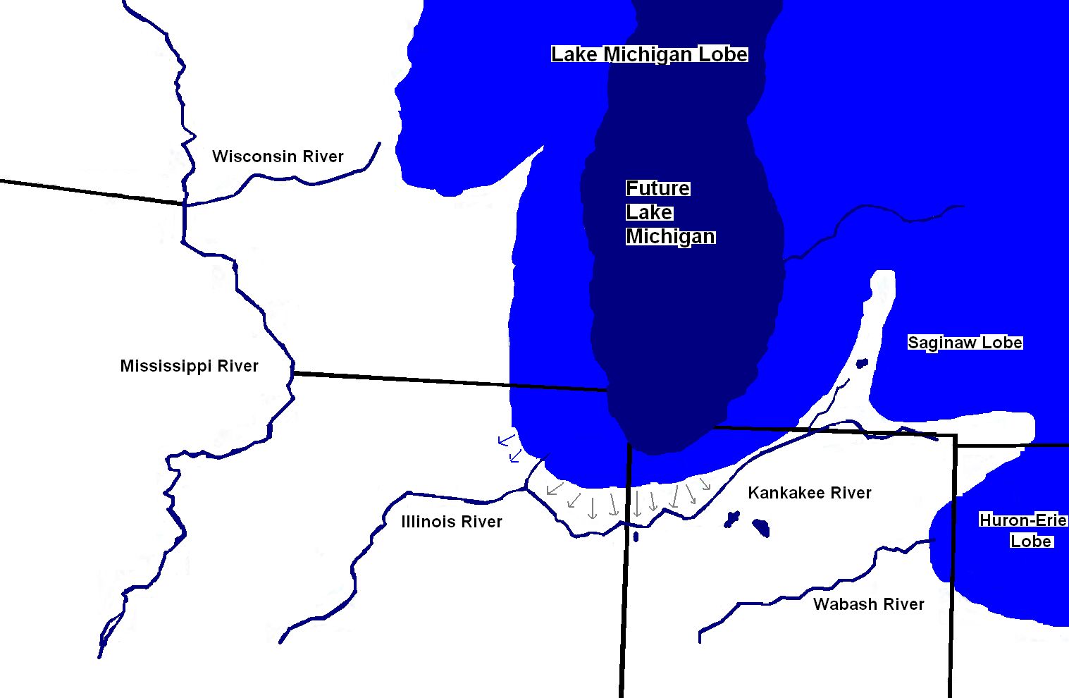
Chippewa and Stanley Low Levels (Larsen 1987).jpg - Chris Light

Retrait des glaces en Amérique.svg - TKostolany

The American journal of science (1915) (17965629550).jpg - Fæ

Annals of the New York Academy of Sciences (1915) (17793584083).jpg - Fæ

The age of mammals in Europe, Asia and North America (1910) (17918969416).jpg - Fæ

Bulletin of the Geological Society of America (1914) (20455371581).jpg - Fæ

Glacial Formation of the Missouri River PA130672.JPG - Chris Light

Plate 18 Successive Positions of the Ice Border in Ohio and Neighboring Regions.jpg - Chris Light