Wikimedi'Òc
Modes d'emploi

Cet album fait partie des albums


June 2011 Landslide Scars in Taiwan.jpg - Originalwana

Bridge in Alishan.jpg - Flickr upload bot

嘉義縣竹崎鄉 阿里山公路(省道18號) - panoramio.jpg - Panoramio upload bot

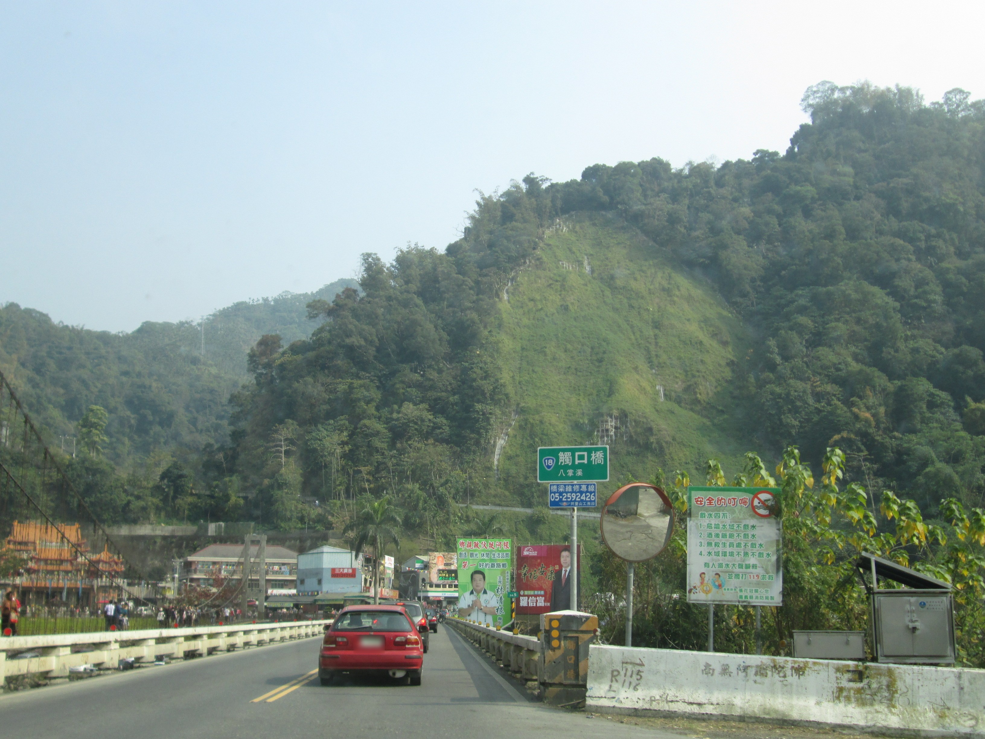
嘉義縣番路鄉 阿里山公路 觸口橋 - panoramio (2).jpg - Panoramio upload bot

嘉義縣阿里山鄉 阿里山公路 - panoramio.jpg - Panoramio upload bot
嘉義縣番路鄉 阿里山公路觸口崩塌痕跡 - panoramio.jpg - Panoramio upload bot

Caoling landslide scarp with mountain view.jpg - Kai3952

Alishan Mountain Road (232934071).jpeg - Rodrigo.Argenton

View of the landslide scar area on the side of Mount Kandou from Longnan Road.jpg - Kai3952

Afternoon view of the landslide scar area on the side of Mount Kandou.jpg - Kai3952

View looking north towards the landslide scar area on the side of Mount Kandou.jpg - Kai3952

Looking north towards the landslide scar area on the side of Mount Kandou on a sunny September afternoon.jpg - Kai3952

Looking north towards the landslide scar area on the side of Mount Kandou.jpg - Kai3952

Caoling landslide scar area, as taken on 5th October 2020.jpg - Kai3952
View southwest towards the Caoling landslide scar area from the viewing platform at the 921 National Earthquake Memorial Site on 5th October 2020.jpg - Kai3952

Chenyoulan River downstream, Chenyoulan River Bridge looking northwest, as taken on 10 July 2021.jpg - Kai3952