Wikimedi'Òc
Modes d'emploi

Cet album fait partie des albums
Cet album photos contient les sous-albums suivants :


Aerial view of Vineyards in Barossa Valley.jpg - Flickr upload bot

Panorama Mengler Hill.jpg - File Upload Bot (Magnus Manske)

Barossa Valley 2.jpg - File Upload Bot (Magnus Manske)

Trial Hill Rd views.JPG - Fairv8

Hawkesbury Reserve (as known locally) - Official name is Jubilee Reserve, West Lakes Shore.jpg - Kokoda Bill

Heysen Reserve, West Lakes Shore.JPG - Kokoda Bill

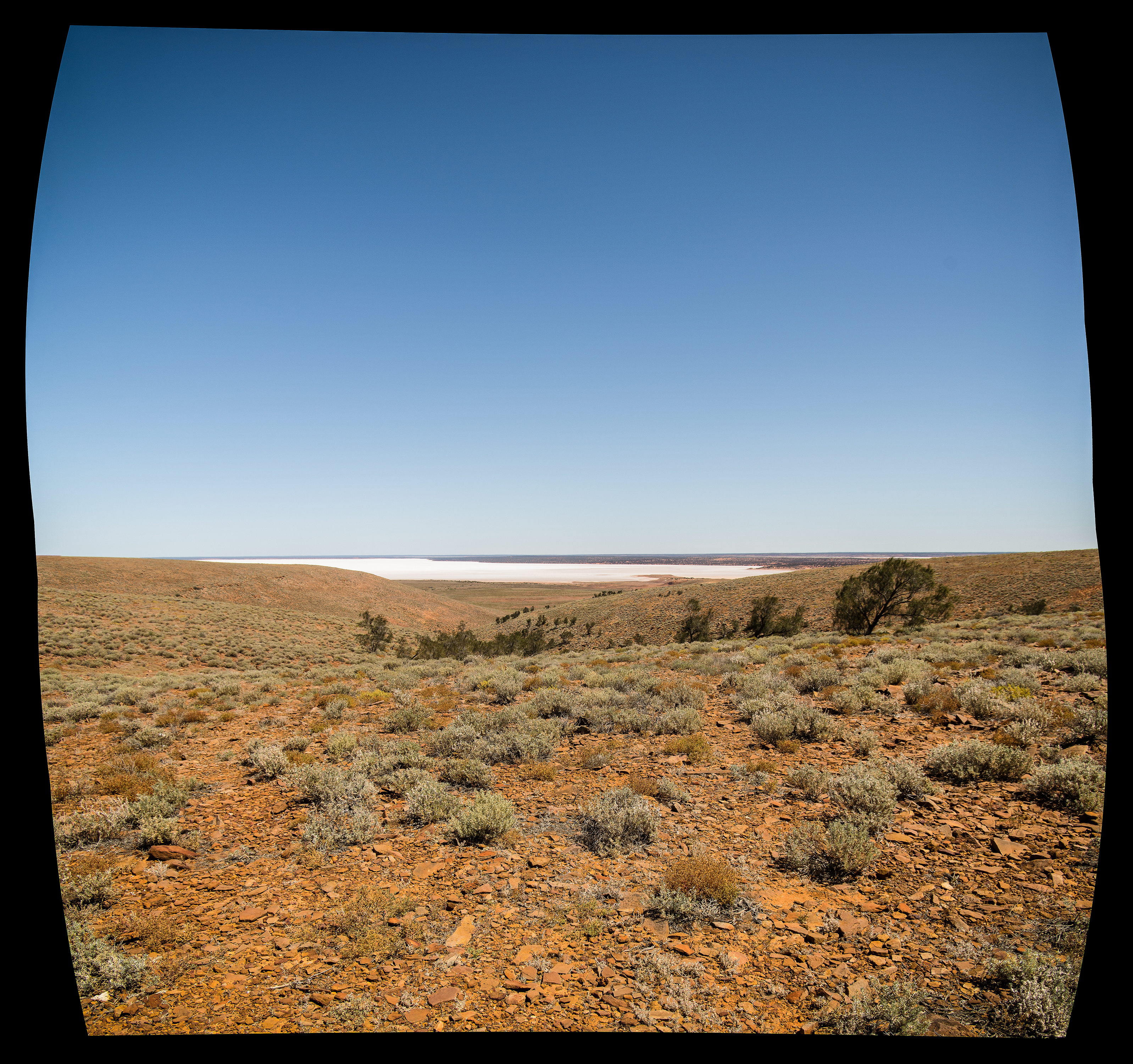
Lac temporaire zone interdite SA 22-X-2005.jpg - Aussie Oc

Landscape view near Belton, Flinders Ranges South Australia (2097419904).jpg - File Upload Bot (Magnus Manske)

CSIRO ScienceImage 1592 Road Landscape.jpg - File Upload Bot (99of9)

CSIRO ScienceImage 3782 Contour banks near Adelaide.jpg - File Upload Bot (99of9)
CSIRO ScienceImage 3926 Area cleared of Mallee bushland for grazing and cropping on the Cooke Plains southeast of Tailem Bend SA 1992.jpg - File Upload Bot (99of9)
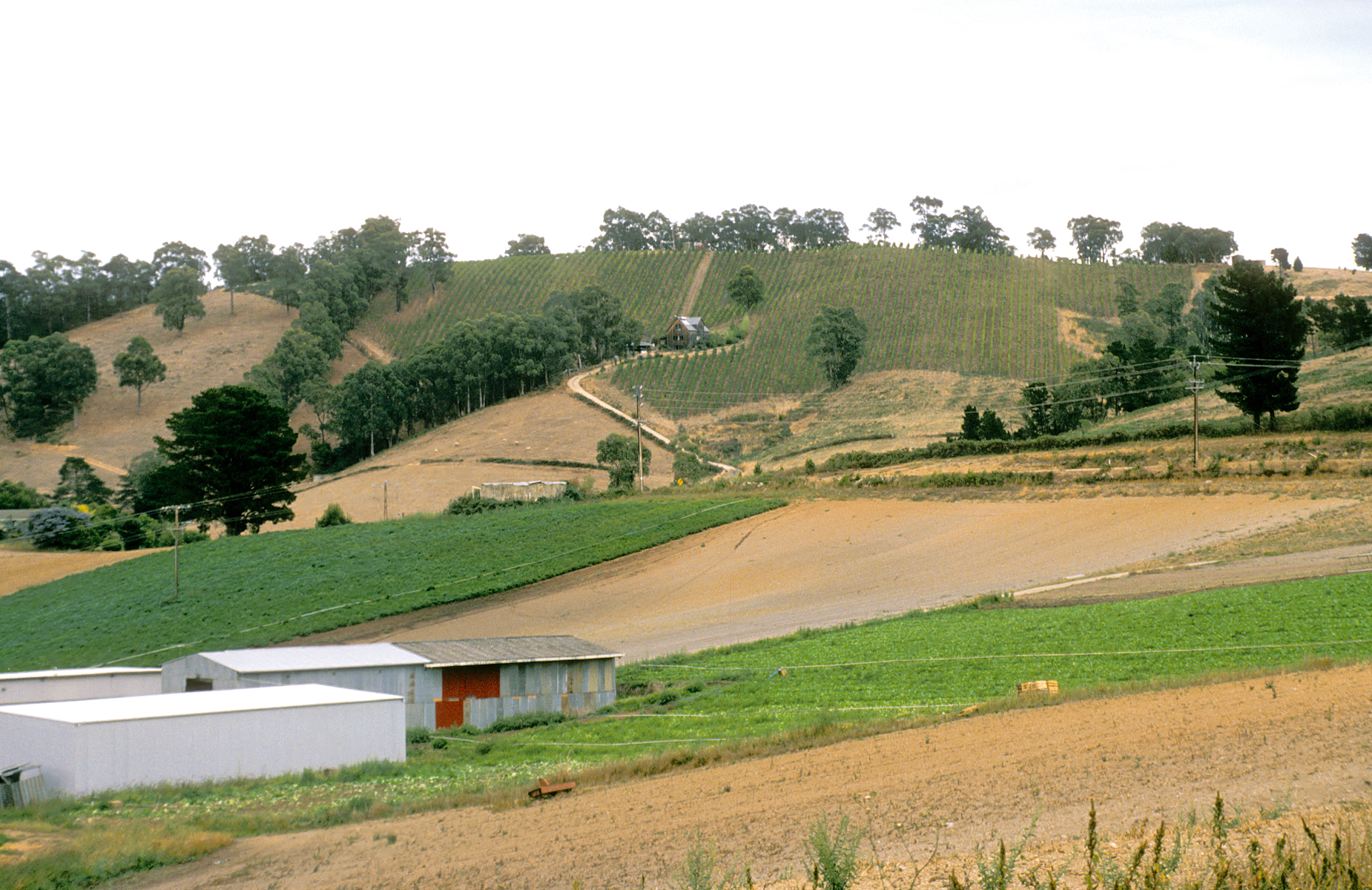
CSIRO ScienceImage 4094 Vineyards and mixed farming in the Adelaide Hills South Australia 1992.jpg - File Upload Bot (99of9)

CSIRO ScienceImage 4250 Sunset over Adelaide South Australia 1992.jpg - File Upload Bot (99of9)
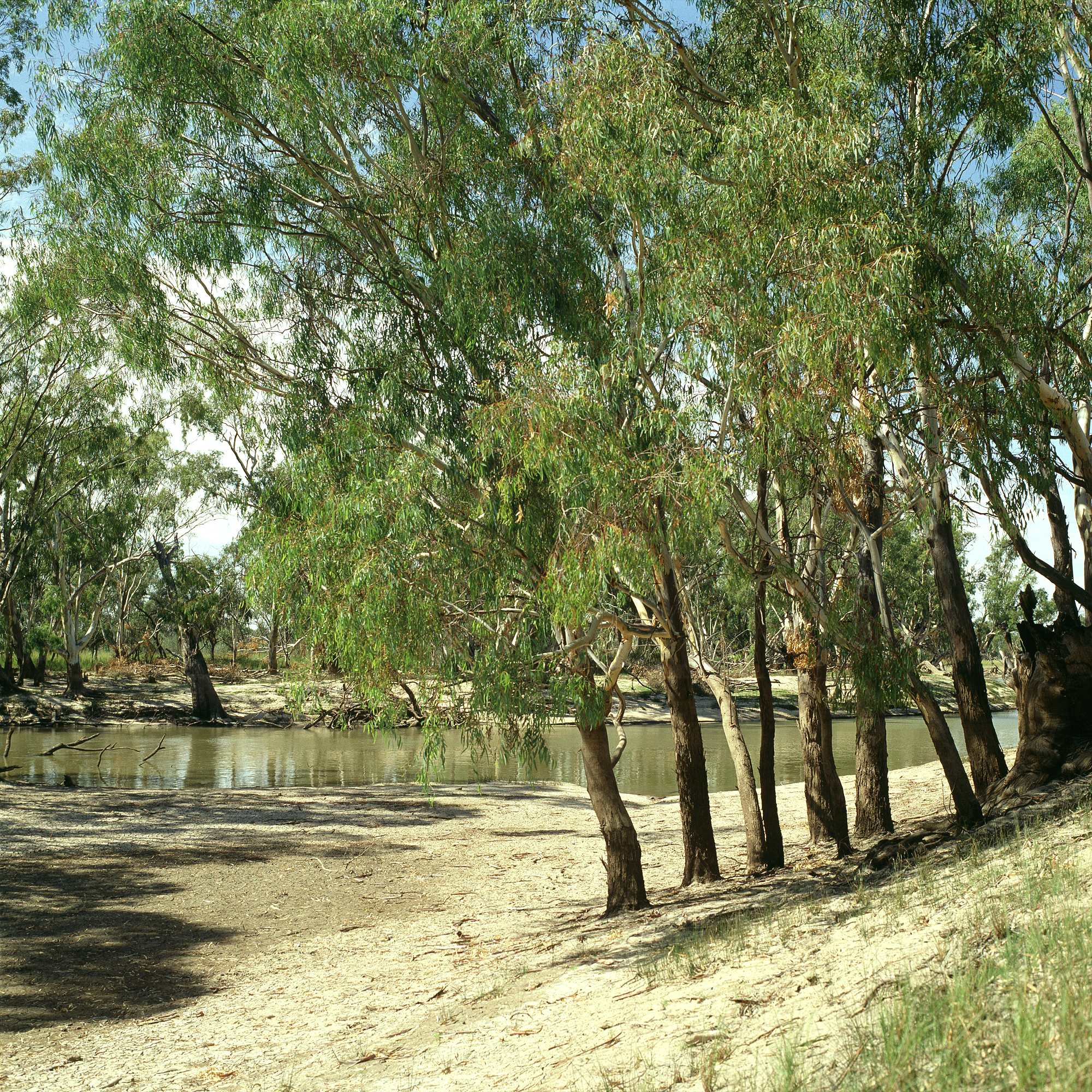
CSIRO ScienceImage 4404 Chowilla creek scene Chowilla SA.jpg - File Upload Bot (99of9)

CSIRO ScienceImage 4441 Sunset over Adelaide South Australia 1992.jpg - File Upload Bot (99of9)

CSIRO ScienceImage 4480 The Paddocks wetland at Salisbury north of Adelaide SA 1995.jpg - File Upload Bot (99of9)

CSIRO ScienceImage 4513 View over southern suburbs of Adelaide SA 1989.jpg - File Upload Bot (99of9)

CSIRO ScienceImage 4516 The ghost town of Belton on the normally dry Heartbreak Plains north of Orroroo SA Local rains in the Southern Flinders Ranges tranformed the area in 2004.jpg - File Upload Bot (99of9)

CSIRO ScienceImage 4651 The ramparts of Wilpena Pound looking south along the road from in the Flinders Ranges South Australia 1992.jpg - File Upload Bot (99of9)

CSIRO ScienceImage 4682 Casneauxs Tree with the ramparts of Wilpena Pound in the background Flinders Ranges SA 1992.jpg - File Upload Bot (99of9)

CSIRO ScienceImage 4714 CSIRO Precision Viticulture Trial site in the Eden Valley SA March 2004.jpg - File Upload Bot (99of9)

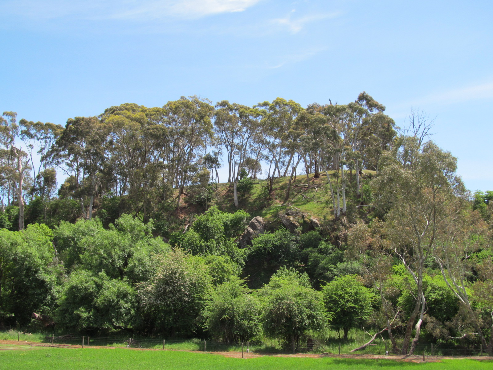
Mount Oakden near Penwortham, South Australia. View of the eastern face..JPG - Kaarenmax19
View from Hahndorf market N into hills 2.jpg - Orderinchaos

Hahndorf countryside 1.jpg - Orderinchaos

Hahndorf countryside 3.jpg - Orderinchaos

Fowlers Bay Conservation Park SA Sandhills.jpg - Gypsy Denise

Endless Stations 19 - A Dusting of Saltbush.jpg - Bennos80

Endless Stations 18 - A Subtle Symmetry.jpg - Bennos80
Endless Stations 15 - The Road To Blinman.jpg - Bennos80

Endless Stations 20 - Salt Pan.jpg - Bennos80
Endless Stations 22 - Salt Lake.jpg - Bennos80

Endless Stations 24 - Into The Outback or Crows in the Scrub.jpg - Bennos80

Endless Stations 179 - Symmetry On The Verge.jpg - Bennos80

Endless Stations 180 - Horrocks Pass Road.jpg - Bennos80

Endless Stations 181 - Hill Flow.jpg - Bennos80

Staying Still 64 - Return to the Saltbush Plains.jpg - Bennos80

Staying Still 83 - Beyond The Gate 5.jpg - Bennos80
Staying Still 84 - Beyond The Gate 6.jpg - Bennos80

Staying Still 87 - Strange Petrified Mudflat Place.jpg - Bennos80

Staying Still 86 - Isthmus.jpg - Bennos80

Staying Still 88 - Nostalgia.jpg - Bennos80

Staying Still 100 - Mount Westall Morning.jpg - Bennos80

Staying Still 96 - Yearning.jpg - Bennos80
Staying Still 106 - Awakening At Long Point.jpg - Sebastian Wallroth

The Breakaways.jpg - Jburger234

Flinders Chase National Park 01.jpg - Bgag

Sunset at Breakaways.jpg - Sliverinverted
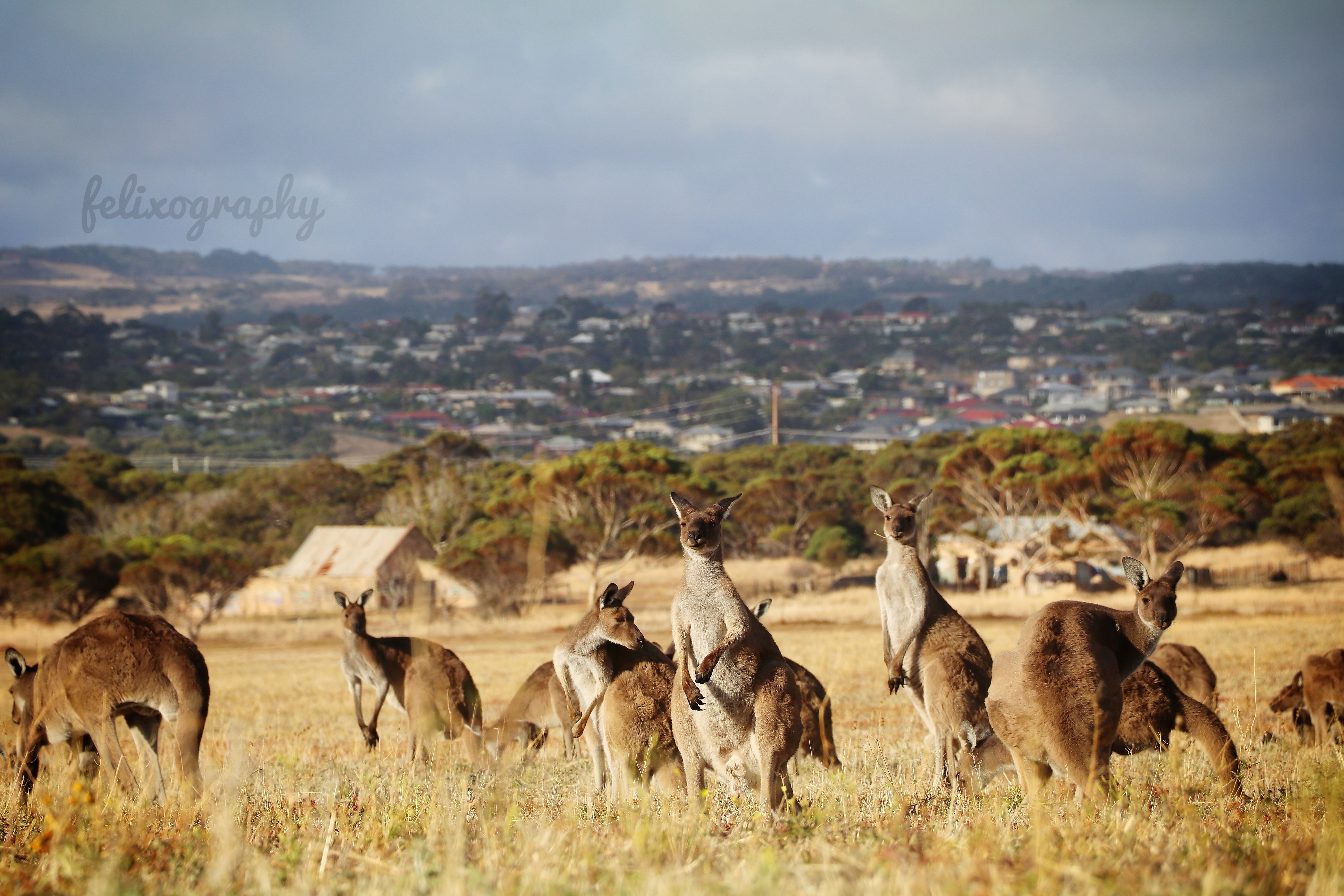
South Australia.jpg - Felixography

Lone sentinel, Sol Mountain, west of Blinman. South Australia.jpg - Sklewis51
The Bubbler.tif - Australiana101

Ethel Wreck-Innes National Park.jpg - TeliaLove

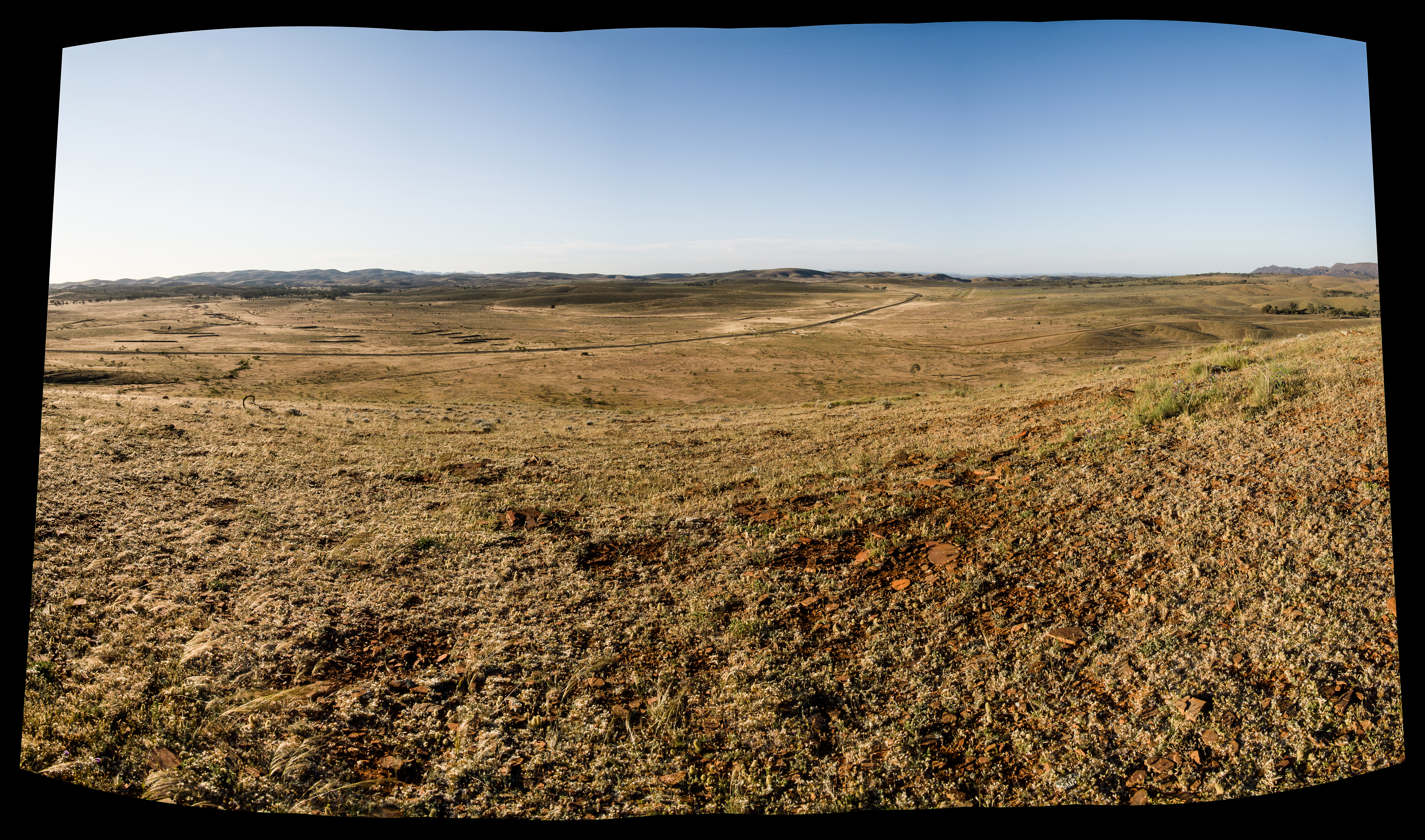
South Australian Outback.jpg - Adrianbutera
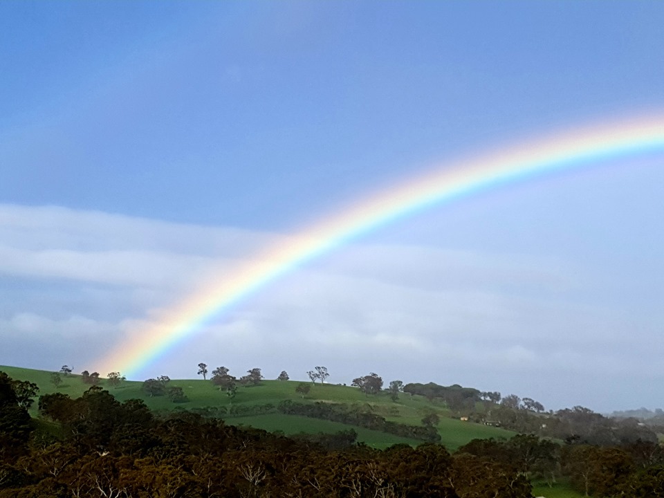
Raibow over hills.jpg - Photwik

Meningie (AU), Pink Lake -- 2019 -- 0694.jpg - XRay

Mount Gambier (AU), View from Mount Gambier -- 2019 -- 0717.jpg - XRay

Mount Gambier (AU), View from Mount Gambier -- 2019 -- 0722.jpg - XRay

Landscape(GN00263).jpg - Htsa

Hectorville Glynburn view to hills.jpg - Orderinchaos

Anna Creek Painted Hills.jpg - Fährtenleser

CSIRO ScienceImage 4094 Vineyards and mixed farming in the Adelaide Hills South Australia 1992 (cropped).jpg - Ashton 29

On the Torrens, SE view, South Australia, Anne Gliddon, lithograph, 1839.png - CaroleHenson

Part of North Terrace, South Adelaide, South Australia, 1839, lithograph.png - CaroleHenson

Mallee landscape (Landscape SA, CC BY 3).jpg - SCHolar44