Wikimedi'Òc
Modes d'emploi

Cet album fait partie des albums
Cet album photos contient les sous-albums suivants :


Kootenay River map with states and provinces.png - Peteforsyth

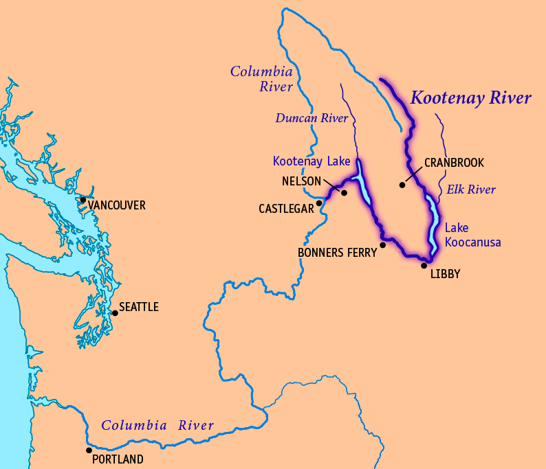
708px-South BC-NW USA-relief KootenayRiverwColumbia.png - Urdangaray

Idaho Highway 1 map.png - File Upload Bot (Magnus Manske)

Kootenayreliefmap.jpg - Shannon1

Kootenay dams.jpg - Shannon1

"Paddler's Lake"-widening of the Kootenay-from hills just above Chelemta on left bank looking S. across the... - NARA - 305514.jpg - US National Archives bot
Kootenay River. Junction with Elk River. View from trail on right bank - NARA - 305522.jpg - US National Archives bot

Kootenay River. looking down from near Camp Kootenay East - NARA - 305523.jpg - US National Archives bot

Kootenay River (Southernmost crossing) looking S. (down) from left bank - NARA - 305524.jpg - US National Archives bot

Seepage from Koontenai River in west end of drainage district No. 2. May 30, 1928. - NARA - 298504.jpg - US National Archives bot

Kootenai RIver during flood stage, looking from west hillside across river toward drainage district No. 8, June 12... - NARA - 298505.jpg - US National Archives bot

Party obtaining cross sections of Kootenai River. Sounding weight is suspended from a reel over side of boat. - NARA - 298507.jpg - US National Archives bot

Gaging car and cable on Kootenai River at Leonia. Current meter and lead sounding weight may be seen suspended from... - NARA - 298508.jpg - US National Archives bot

Looking upstream (east) at the Corra Linn damsite, from highway on north side of river. - NARA - 298512.jpg - US National Archives bot

Proctor Narrows, looking west from a pint on south bank of West Arm. - NARA - 298513.jpg - US National Archives bot

Looking west toward Grohman Narrows and rapids at end of the West Arm. Grohman Creek delta is in center of picture. - NARA - 298514.jpg - US National Archives bot

Main pumping plant an dgravity drain outlet of drainage district No. 8. Woven wire screen is across ditch to protect... - NARA - 298517.jpg - US National Archives bot

Kootenai river white sturgeon 1940.jpg - Tortie tude

Floodfighting efforts at Kootenay River, Aneka Amerika 102 (1957), p44.jpg - Crisco 1492

Indian encampment, Tobacco Plains, Kootenay (i.e., Kootenai) River - fish trap in the foreground, 1861 LCCN2003668216.jpg - Fæ

1st looking. Kootenay R - NARA - 102278914 (page 1).jpg - US National Archives bot

1st view Kootenay Valley - NARA - 102278887 (page 1).jpg - US National Archives bot

1st view Kootenay Valley - NARA - 102278887 (page 2).jpg - US National Archives bot

Ak-Kaph-Klek. Falls of the Kootenay - NARA - 102278920 (page 2).jpg - US National Archives bot

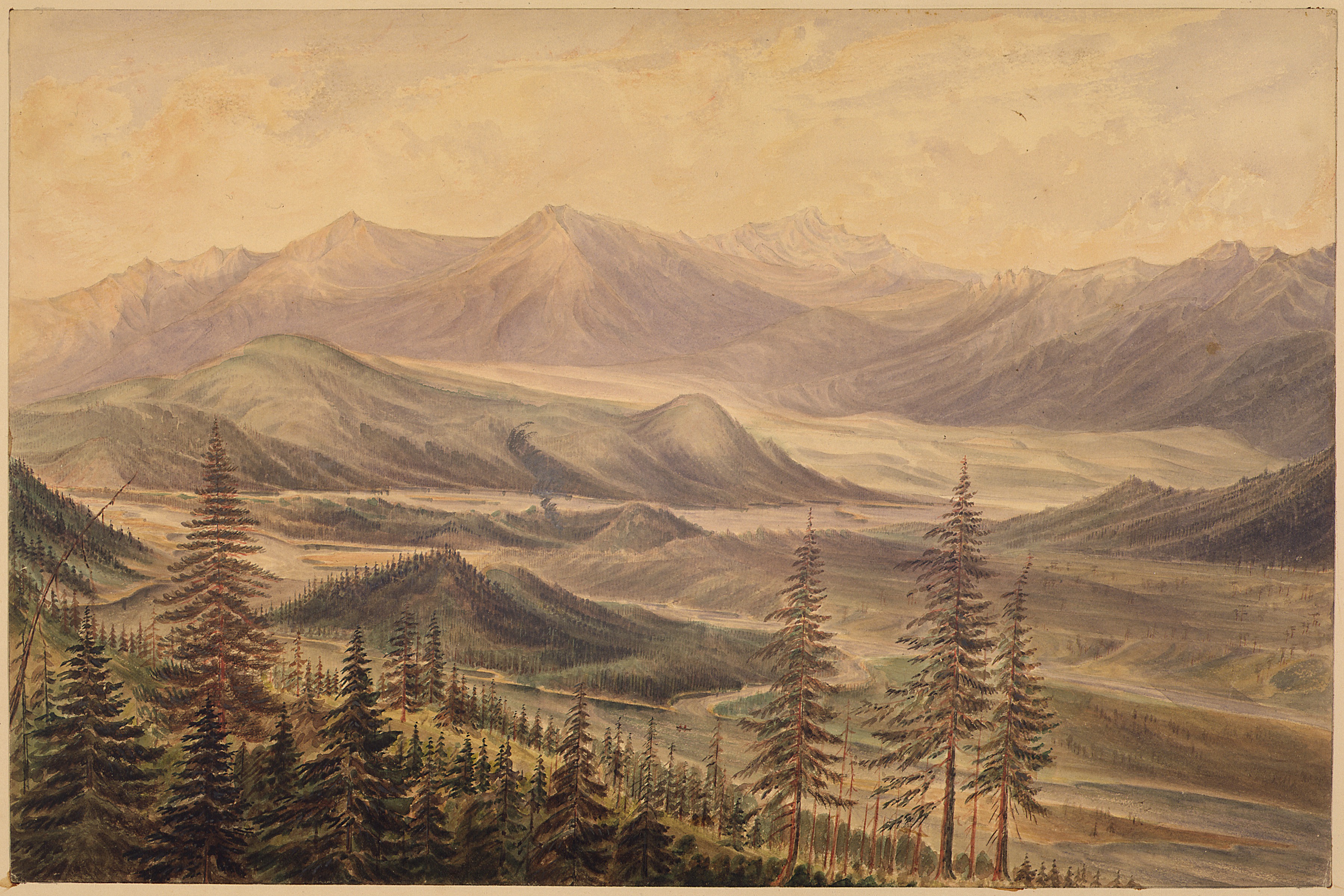
"Josephs' Prairie". Head of Kootenay R - NARA - 102278908 (page 1).jpg - US National Archives bot

"Josephs' Prairie". Head of Kootenay R - NARA - 102278908 (page 2).jpg - US National Archives bot

Indian encampment, Tobacco Plains, Kootenay (i.e., Kootenai) River - fish trap in the foreground, 1861 LCCN2003668216 (cropped).jpg - Tibet Nation

International Selkirk Loop - The Majestic SS Moyie on the Kootenai River - NARA - 7719591.jpg - US National Archives bot
Kootenay River map.png - Thylacinus cynocephalus

Kootenay River - 1 (6783008246).jpg - Kukurydziarz

Kootenay River - 2 (6783004592).jpg - Kukurydziarz

Ponderosa Pine Trees.jpg - Treefender BC