Wikimedi'Òc
Modes d'emploi

Cet album fait partie des albums
Cet album photos contient les sous-albums suivants :


Knowsley - Village Green.jpg - Skinsmoke

Cabbage White - geograph.org.uk - 20189.jpg - GeographBot

Lord Derby's Footpath - geograph.org.uk - 20176.jpg - GeographBot

Wilson Road Industrial Estate - geograph.org.uk - 43844.jpg - GeographBot

Croxteth Lodge, Knowsley - geograph.org.uk - 83607.jpg - GeographBot

Industrial Estate Canteen - geograph.org.uk - 82994.jpg - GeographBot
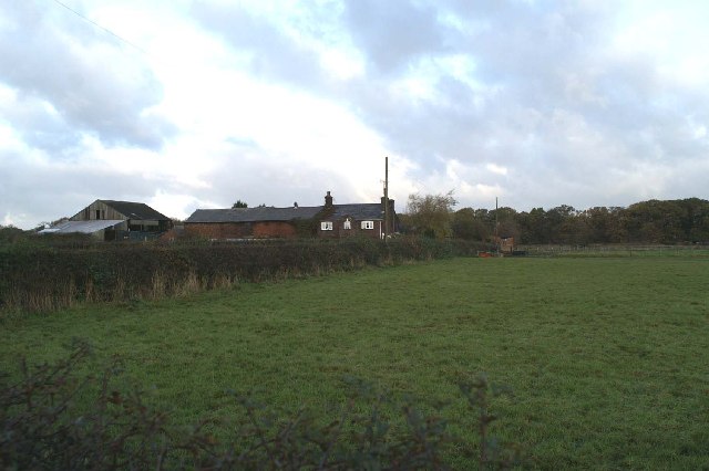
Knowsley Lane Farm - geograph.org.uk - 83610.jpg - GeographBot

The Earl of Derby's walled garden - geograph.org.uk - 83102.jpg - GeographBot

The Village - geograph.org.uk - 83622.jpg - GeographBot

Chapel Cottage, School Lane, Knowsley - geograph.org.uk - 126106.jpg - GeographBot

Croxteth Park, from the M57 - geograph.org.uk - 125388.jpg - GeographBot

Delph Cottage, Hewitts Lane, Moss Side - geograph.org.uk - 123507.jpg - GeographBot

Quarry Cottage, School Lane, Knowsley - geograph.org.uk - 126103.jpg - GeographBot

Roundabout on Knowsley Industrial Estate - geograph.org.uk - 126111.jpg - GeographBot

Knowsley Park - geograph.org.uk - 131510.jpg - GeographBot
Green Sward - geograph.org.uk - 118151.jpg - GeographBot
Huyton Industrial Estate, Wilson Road - geograph.org.uk - 113667.jpg - GeographBot

Mouldering ruins - geograph.org.uk - 119645.jpg - GeographBot

Parkside, Knowsley Estate - geograph.org.uk - 163484.jpg - GeographBot

Knowsley Trigpoint and "The Stand" - geograph.org.uk - 171484.jpg - GeographBot

Home Farm, Knowsley Estate - geograph.org.uk - 282265.jpg - GeographBot

Home Farm Lodge, Knowsley Park - geograph.org.uk - 282275.jpg - GeographBot

Knowsley Lane Farm - geograph.org.uk - 280164.jpg - GeographBot

Copse at end of Ormskirk Road, Knowsley Village - geograph.org.uk - 337442.jpg - GeographBot

Cattle Grid on the Knowsley Estate - geograph.org.uk - 882104.jpg - GeographBot

Lady Henrietta's Wood - geograph.org.uk - 881670.jpg - GeographBot

Path in Knowsley Park - geograph.org.uk - 881400.jpg - GeographBot

Path on Knowsley Estate - geograph.org.uk - 882134.jpg - GeographBot

Secluded pond - geograph.org.uk - 882129.jpg - GeographBot

Woods on the Knowsley Estate - geograph.org.uk - 882084.jpg - GeographBot

The Nine Elms - geograph.org.uk - 1129182.jpg - GeographBot

Blooming Marvellous^ - geograph.org.uk - 1443338.jpg - GeographBot

Disused Building in Knowsley Park, near Knowsley Lane, Merseysde, England..jpg - Rept0n1x

Knowsley Village sign, Knowsley Lane.jpg - Rept0n1x

Flukers Brook Lane, Knowsley Village.jpg - Rept0n1x

Field on Knoswley Lane, Knowsley Village.jpg - Rept0n1x

Knowsley sister stone at Knowsley Village.jpg - Rept0n1x
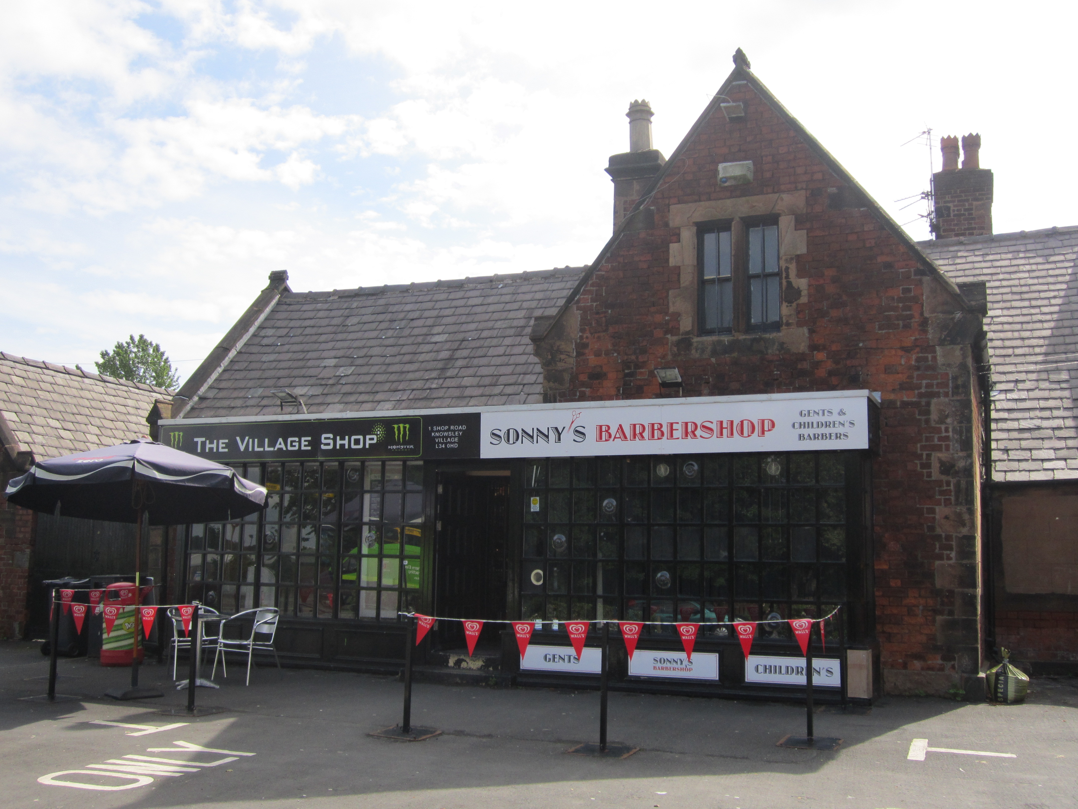
Shops, Knowsley Village (1).jpg - Rept0n1x

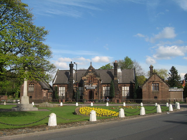
Millbrook Manor, Knowsley Village.jpg - Rept0n1x

School Lane, Knowsley Village.jpg - Rept0n1x

Knowsley Brook at School Lane.jpg - Rept0n1x

Suites Hotel, Knowsley.jpg - Rept0n1x

KnowsleyLCP.jpg - File Upload Bot (Magnus Manske)

Stobart truck in Knowsley, Merseyside, 15 November 2010.jpg - Ultra7

Car park quagmire - geograph.org.uk - 1907887.jpg - GeographBot

Welcome to the Knowsley Festival 2007 - geograph.org.uk - 1907892.jpg - GeographBot

Where's all the grass gone^ - geograph.org.uk - 1907901.jpg - GeographBot

All the fun of the fair - geograph.org.uk - 1911799.jpg - GeographBot

Boode Croft at end of the road - geograph.org.uk - 2011841.jpg - GeographBot

Waterpark Drive-Seth Powell Way roundabout - geograph.org.uk - 2011846.jpg - GeographBot

Stockbridge Lane approaching Knowsley Lane - geograph.org.uk - 2011850.jpg - GeographBot

Knowsley Lane - geograph.org.uk - 2011855.jpg - GeographBot

Knowsley Lane at Liverpool Road roundabout - geograph.org.uk - 2011858.jpg - GeographBot

Entrance to Coach Road from A580 - geograph.org.uk - 2011882.jpg - GeographBot

East Lancashire Road looking west - geograph.org.uk - 2011883.jpg - GeographBot

Knowsley Lane roundabout under repair - geograph.org.uk - 2011884.jpg - GeographBot

Village Green and War Memorial, Knowsley - geograph.org.uk - 2011885.jpg - GeographBot

Roundabout on School Lane - geograph.org.uk - 2011887.jpg - GeographBot

Moorgate Lane roundabout with M57 bridge above - geograph.org.uk - 2011888.jpg - GeographBot

Knowsley Park from the "wrong" side - geograph.org.uk - 2193546.jpg - GeographBot

Lord Derby's back door^ - geograph.org.uk - 2193690.jpg - GeographBot

The first turn for Kirkby - geograph.org.uk - 2193719.jpg - GeographBot

Croxteth Lane bridge over the M57 - geograph.org.uk - 2459162.jpg - GeographBot

M57 motorway - George Hale Avenue bridge - geograph.org.uk - 2884467.jpg - GeographBot

M57 motorway - Knowsley Lane bridge - geograph.org.uk - 2884487.jpg - GeographBot

M57 motorway - exit slip road bridge at junction 3 - geograph.org.uk - 2884493.jpg - GeographBot

M57 motorway - Croxteth Lane bridge - geograph.org.uk - 2884496.jpg - GeographBot

M57 motorway - Fluker's Brook Lane bridge - geograph.org.uk - 2884499.jpg - GeographBot

M57 at The Roughs - geograph.org.uk - 2884502.jpg - GeographBot

M57 at Meakin's Pits - geograph.org.uk - 2884505.jpg - GeographBot

M57 motorway - northbound at junction 4 - geograph.org.uk - 2884548.jpg - GeographBot

M57 at junction 4 - geograph.org.uk - 2884552.jpg - GeographBot

M57 crossing the A580 - geograph.org.uk - 2884564.jpg - GeographBot

The continuation of the Coach Road from the gatehouse - geograph.org.uk - 2928917.jpg - GeographBot

The lodge - geograph.org.uk - 2928988.jpg - GeographBot

Sugar Lane-Ormskirk Road junction - geograph.org.uk - 3020720.jpg - GeographBot

Knowsley Business Park by the A580 - geograph.org.uk - 3144865.jpg - GeographBot

The M57 at Howard's Pits - geograph.org.uk - 3145362.jpg - GeographBot

Bridge to Fluker's Brook Farm from the M57 - geograph.org.uk - 3145371.jpg - GeographBot

Bridge over the M57 - geograph.org.uk - 3145378.jpg - GeographBot

Knowsley Lane crosses the M57 - geograph.org.uk - 3145384.jpg - GeographBot

George Hale Avenue crosses the M57 - geograph.org.uk - 3145390.jpg - GeographBot

M57 approaching junction 2 - geograph.org.uk - 3145396.jpg - GeographBot

Keane in concert, Knowsley Music Festival - 24th June 2007 - geograph.org.uk - 3243805.jpg - GeographBot

The road into Knowsley Park from Paddock Lodge - geograph.org.uk - 3260492.jpg - GeographBot

The Great Wall of Knowsley running outside the paddocks - geograph.org.uk - 3260507.jpg - GeographBot

The track to Knowsley Lane Farm - geograph.org.uk - 3260529.jpg - GeographBot

The entrance to Knowsley Hall - geograph.org.uk - 3260705.jpg - GeographBot

Sunset and nightlight at Knowsley Manor Care Home - geograph.org.uk - 3260729.jpg - GeographBot

The entrance to Nursery Farm - geograph.org.uk - 3260746.jpg - GeographBot

Sunset over Cantril Farm - geograph.org.uk - 3260772.jpg - GeographBot

Croxteth Lodge - geograph.org.uk - 3260809.jpg - GeographBot

The road into the Knowsley Estate from Croxteth Lodge - geograph.org.uk - 3260843.jpg - GeographBot

A car approaches the junction of Knowsley Lane with Sugar Lane - geograph.org.uk - 3260869.jpg - GeographBot

Stanley Lodge - geograph.org.uk - 3260891.jpg - GeographBot

The approach to Rose Cottage - geograph.org.uk - 3260908.jpg - GeographBot

Tithebarn Lane - geograph.org.uk - 3583667.jpg - GeographBot

Larkin's Community Farm - geograph.org.uk - 3583775.jpg - GeographBot

Stockbridge Village Square - geograph.org.uk - 3583978.jpg - GeographBot

Madness - Knowsley Hall - June 2007 - geograph.org.uk - 3731593.jpg - GeographBot

Keane - Knowsley Hall - June 2007 - geograph.org.uk - 3731602.jpg - GeographBot

The M57 from Fluker's Lane Bridge - geograph.org.uk - 4236706.jpg - GeographBot

A bridleway alongside the M57 - geograph.org.uk - 4236811.jpg - GeographBot

The Village Inn, Stockbridge Village - geograph.org.uk - 4236837.jpg - GeographBot

Factory units - geograph.org.uk - 4912496.jpg - GeographBot

A glimpse of green - geograph.org.uk - 4912501.jpg - GeographBot

Newsprinters, Knowsley Industrial Park - geograph.org.uk - 4944122.jpg - GeographBot

Big Dam, Taylor Park, St Helens, from the air - geograph.org.uk - 5026044.jpg - GeographBot

East side of Eccleston from the air - geograph.org.uk - 5026049.jpg - GeographBot

Knowsley Business Park from the air - geograph.org.uk - 5026054.jpg - GeographBot

Zebra at Knowsley - geograph.org.uk - 5340031.jpg - GeographBot

Village green with war memorial - geograph.org.uk - 5509131.jpg - GeographBot

The Holiday Inn, Ribbler's Lane, Knowsley - geograph.org.uk - 5542816.jpg - GeographBot

Ribbler's Lane, Knowsley - geograph.org.uk - 5542839.jpg - GeographBot

Coach Road entering Knowsley Estate from the A580 - geograph.org.uk - 5598201.jpg - GeographBot

New houses on Waterpark Drive, L28 - geograph.org.uk - 7519798.jpg - GeographBot

Bus stop and shelter on Waterpark Drive, L28 - geograph.org.uk - 7519800.jpg - GeographBot

Bus stop and shelter on Haswell Drive, L28 - geograph.org.uk - 7521458.jpg - GeographBot

The Village Inn - geograph.org.uk - 7521460.jpg - GeographBot

Hollow Croft, L28 - geograph.org.uk - 7521462.jpg - GeographBot

National Cycle Network Route 862 - geograph.org.uk - 7521704.jpg - GeographBot

Bus stop on School Lane (B5194) - geograph.org.uk - 7521706.jpg - GeographBot

Cottage on School Lane (B5194) - geograph.org.uk - 7521707.jpg - GeographBot

Track off School Lane (B5194) - geograph.org.uk - 7521708.jpg - GeographBot

School Lane (B5194) - geograph.org.uk - 7521709.jpg - GeographBot

War Memorial on May Pole Green - geograph.org.uk - 7521710.jpg - GeographBot

Knowsley Village Hall - geograph.org.uk - 7521711.jpg - GeographBot

St Mary's Church, Knowsley Village - geograph.org.uk - 7521712.jpg - GeographBot

Tithebarn Road - geograph.org.uk - 7521713.jpg - GeographBot

Cottages on Tithebarn Road - geograph.org.uk - 7521714.jpg - GeographBot

House on Sugar Lane - geograph.org.uk - 7521717.jpg - GeographBot

Parklands off Sugar Lane - geograph.org.uk - 7521718.jpg - GeographBot

Looking east on Sugar Lane - geograph.org.uk - 7521719.jpg - GeographBot

Stubble field off Knowsley Lane - geograph.org.uk - 7521720.jpg - GeographBot

Knowsley Lane (B5194) - geograph.org.uk - 7521722.jpg - GeographBot

Nursery Plantation - geograph.org.uk - 7521724.jpg - GeographBot

Bus stop on Knowsley Lane (B5194) - geograph.org.uk - 7521726.jpg - GeographBot

Phone mast beside Knowsley Lane (B5194) - geograph.org.uk - 7521727.jpg - GeographBot

M57, Knowsley - geograph.org.uk - 7521745.jpg - GeographBot

Houses on Green Gates, L36 - geograph.org.uk - 7521751.jpg - GeographBot

Knowsley Lane (B5194) - geograph.org.uk - 7521752.jpg - GeographBot

New housing on Primrose Drive - geograph.org.uk - 7521754.jpg - GeographBot

Elizabeth II postbox on Haswell Drive - geograph.org.uk - 7523539.jpg - GeographBot

Elizabeth II postbox on Randles Road - geograph.org.uk - 7523544.jpg - GeographBot

Royal Mail parcel and business box on Randles Road - geograph.org.uk - 7523546.jpg - GeographBot

Randles Road, L34 - geograph.org.uk - 7523547.jpg - GeographBot

Fishing Pond, Little Wood - geograph.org.uk - 6453129.jpg - GeographBot

Cycleway to Fluker's Brook Lane - geograph.org.uk - 6453158.jpg - GeographBot

Cycleway to Fluker's Brook Lane - geograph.org.uk - 6453174.jpg - GeographBot

Gelling's Bridleway along the M57 - geograph.org.uk - 6453206.jpg - GeographBot

Cycleway Junction Alder Lane - geograph.org.uk - 6453226.jpg - GeographBot

Open fields near Randle's Bridge Farm - geograph.org.uk - 6453231.jpg - GeographBot

Pond, Meakin's Pits - geograph.org.uk - 6453289.jpg - GeographBot

Entrance to Knowsley Hall estate on The Avenue - geograph.org.uk - 6746649.jpg - GeographBot

Zone 5 rock shelter north of Park Farm - geograph.org.uk - 6827126.jpg - GeographBot

Feeding station north of Park Farm - geograph.org.uk - 6827144.jpg - GeographBot

Next to the monkey enclosure at Shaws Brow - geograph.org.uk - 6827149.jpg - GeographBot