Wikimedi'Òc
Modes d'emploi

Cet album fait partie des albums
Cet album photos contient les sous-albums suivants :


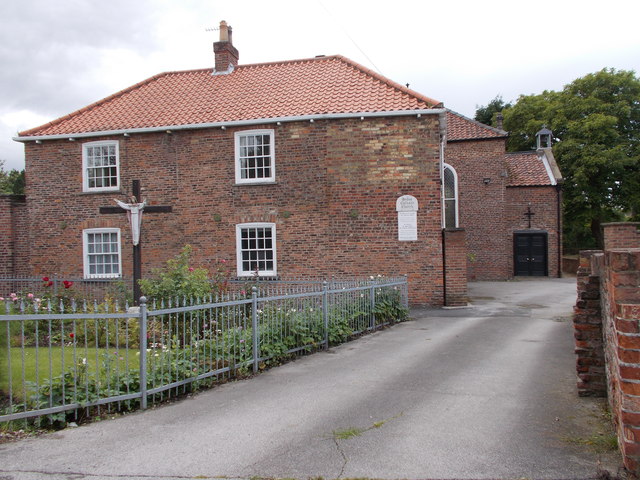
St Mary and St Joseph Roman Catholic Church Hedon.jpg - Keith D

Tom Huddlestone 17-07-2015 1.jpg - Mattythewhite

Greens Water Systems Hull Shop Launch.png - Greens.Water

Fiddler on the Roof - panoramio.jpg - Panoramio upload bot

Cottingham Bike Race 2015 - panoramio.jpg - Panoramio upload bot

Cow Parsley IMG 3494.jpg - panoramio.jpg - Panoramio upload bot

Travellers horses IMG 3504.JPG - panoramio.jpg - Panoramio upload bot

Summer Field IMG 3506.JPG - panoramio.jpg - Panoramio upload bot

Cottingham IMG 3529.JPG - panoramio.jpg - Panoramio upload bot

Kingtree Ave, Cottingham IMG 3554.JPG - panoramio.jpg - Panoramio upload bot

HCS Downstairs Library (Middle View).jpg - Robin S. Taylor

Humber Bridge viewed from Hessle Foreshore.jpg - FeinFinch

Knedlington Old Hall Grade II* listed (geograph 4554205).jpg - Keith D

Knedlington Old Hall Grade II* listed (2) (geograph 4554205).jpg - Keith D

Track to fields east of Asselby (geograph 4554236).jpg - Keith D

The approach to Asselby (geograph 4554246).jpg - Keith D

Electricity Substation No 4671 - off Queensgate (geograph 4592763).jpg - Keith D

St Martins Cemetery - Queensgate (geograph 4592767).jpg - Keith D

Keldgate, Beverley, Yorkshire (geograph 4575978).jpg - Keith D

Keldgate, Beverley, Yorkshire (geograph 4575988).jpg - Keith D

Keldgate, Beverley, Yorkshire (geograph 4576012).jpg - Keith D

Queensgate - viewed from Admiral Walker Road (geograph 4592752).jpg - Keith D

Electricity Substation No 486 - Cartwright Lane (geograph 4592760).jpg - Keith D

Allotments - Queensgate (geograph 4592761).jpg - Keith D

Old Manor Lawns - Long Lane (geograph 4595599).jpg - Keith D

Long Lane - viewed from Old Manor Lawns (geograph 4595603).jpg - Keith D
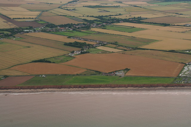
Coastline and cliffs abeam Hollym aerial 2015 (geograph 4582501).jpg - Keith D

Beware of cows on the airfield Hollym (geograph 4582513).jpg - Keith D

Beware of cows on the airfield Hollym (geograph 4582524).jpg - Keith D

Life on the edge- cliff top chalets south of Withernsea (geograph 4584039).jpg - Keith D

A sign of things to come- debris on the cliffside near Withernsea (geograph 4584051).jpg - Keith D

Old concrete pillbox on the Holderness seashore near Hollym (geograph 4586875).jpg - Keith D

Pillbox on the beach near Hollym (geograph 4586979).jpg - Keith D

Withernsea- junction of Holmpton Road and the A1033 (geograph 4583309).jpg - Keith D

Disused railway trackbed from Withernsea to Patrington (geograph 4583315).jpg - Keith D

Withernsea and its lighthouse- aerial 2015 (geograph 4583282).jpg - Keith D

Knapweed by the old railway outside Withernsea (geograph 4583317).jpg - Keith D

Grocers shop next to Withernsea Lighthouse (geograph 4583324).jpg - Keith D

Withernsea Lighthouse coat of arms (geograph 4583449).jpg - Keith D

Withernsea Primary School, Hull Road (geograph 4583452).jpg - Keith D

Lascelles Avenue - Hull Road (geograph 4595299).jpg - Keith D

Withernsea Primary School - Hull Road (geograph 4595303).jpg - Keith D

Playing Fields - off Hull Road (geograph 4595304).jpg - Keith D

Scout Hut - off Hull Road (geograph 4595306).jpg - Keith D

Track around Playing Fields - off Hull Road (geograph 4595307).jpg - Keith D

Allotments - off Hull Road (geograph 4595308).jpg - Keith D

Sports Pavilion - Playing Fields - off Hull Road (geograph 4595309).jpg - Keith D

Lighthouse Garden - Hull Road (geograph 4595357).jpg - Keith D

Arthur Street, Owthorne (geograph 4583471).jpg - Keith D

Seathorne, Withernsea- across the clifftop to the windfarm (geograph 4583486).jpg - Keith D

Concrete sea defences in Withernsea (geograph 4583985).jpg - Keith D

Eliza forever- the seafront at Withernsea (geograph 4583995).jpg - Keith D

Arthur Street - Hull Road (geograph 4595302).jpg - Keith D

Clay sculptures in the cliffs near Waxholme (geograph 4583932).jpg - Keith D

Giants feet in the boulder clay cliffs near Waxholme (geograph 4583941).jpg - Keith D

Cliff sculpture north of Withernsea (geograph 4583956).jpg - Keith D

Boulder clay "pebble" on Withernsea beach (geograph 4583970).jpg - Keith D

North Promenade in Withernsea (geograph 4584011).jpg - Keith D

North Promenade, Withernsea (geograph 4584022).jpg - Keith D

Central Promenade - viewed from North Promenade (geograph 4595249).jpg - Keith D

Seaside Road - North Promenade (geograph 4595254).jpg - Keith D

Bannister Street - Seaside Road (geograph 4595293).jpg - Keith D

Hull Road - Queen Street (geograph 4595297).jpg - Keith D

Queen Street North - viewed from Hull Road (geograph 4595362).jpg - Keith D

Queen Street - viewed from Hull Road (geograph 4595366).jpg - Keith D

The Hut Adventure Playground, Withernsea, July 2015 (geograph 4582418).jpg - Keith D

The Hut Adventure Playground, Withernsea, July 2015 (geograph 4582422).jpg - Keith D

Withernsea, its lighthouse and its boulder-reinforced coastline- aerial 2015 (geograph 4582551).jpg - Keith D

Withernsea- aerial 2015 (geograph 4582566).jpg - Keith D

Withernsea- aerial 2015 (geograph 4582576).jpg - Keith D

Terrace of houses with garden wall- A1033 through Withernsea (geograph 4583312).jpg - Keith D

The Pavilion, Withernsea (geograph 4583319).jpg - Keith D

H.M. Coastguard Station - Central Promenade (geograph 4595234).jpg - Keith D

War Memorial - off Central Promenade (geograph 4595235).jpg - Keith D

Pier Road - viewed from Pier (geograph 4595237).jpg - Keith D

Valley Gardens Plaque - Central Promenade (geograph 4595243).jpg - Keith D

Valley Gardens - viewed from Pier Road (geograph 4595246).jpg - Keith D

Memorial Avenue - Seaside Road (geograph 4595256).jpg - Keith D

The Butterfly - Queen Street (geograph 4595295).jpg - Keith D

Railway Crescent - Queen Street (geograph 4595368).jpg - Keith D

Post Office - Queen Street (geograph 4595371).jpg - Keith D

Aldi - Queen Street (geograph 4595375).jpg - Keith D

Station Road - Queen Street (geograph 4595377).jpg - Keith D

High Brighton Street - Queen Street (geograph 4595380).jpg - Keith D

Park Avenue - Queen Street (geograph 4595384).jpg - Keith D

Cheverton Avenue - Queen Street (geograph 4595387).jpg - Keith D

The Queens Residential Home - Queen Street (geograph 4595389).jpg - Keith D

Track and Tree above Holm Dale (geograph 4565290).jpg - Keith D

Kilham (E Yorks), East Street from the churchyard - geograph.org.uk - 4564053.jpg - GeographBot

Cottages in Kilham, East Yorks - geograph.org.uk - 4564123.jpg - GeographBot

Church Street, Kilham (East Yorks) - geograph.org.uk - 4564126.jpg - GeographBot

Kilham (E Yorks), Church Street - geograph.org.uk - 4564129.jpg - GeographBot

All Saints Church, Kilham (E Yorks) - geograph.org.uk - 4564133.jpg - GeographBot

York Road, Beverley, Yorkshire - geograph.org.uk - 4586663.jpg - GeographBot

York Road, Beverley, Yorkshire - geograph.org.uk - 4586669.jpg - GeographBot

York Road, Beverley, Yorkshire - geograph.org.uk - 4586694.jpg - GeographBot

York Road, Beverley, Yorkshire - geograph.org.uk - 4586709.jpg - GeographBot