Wikimedi'Òc
Modes d'emploi

Cet album fait partie des albums


Dip in the Lane - geograph.org.uk - 1106229.jpg - GeographBot
Cherry Tree day nursery - geograph.org.uk - 1113072.jpg - GeographBot

Colorado Way - Glasshoughton - geograph.org.uk - 1110432.jpg - GeographBot

Wakefield City Museum - geograph.org.uk - 1110521.jpg - GeographBot
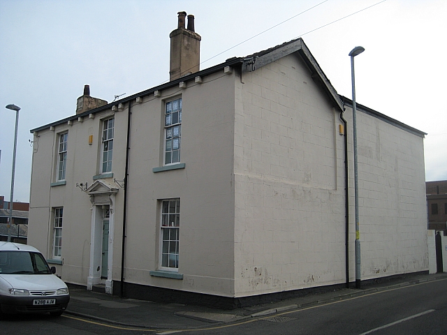
Beech House, No. 4 Wentworth Street - geograph.org.uk - 1120703.jpg - GeographBot

Belgravia Towers, Leeds Road - geograph.org.uk - 1128472.jpg - GeographBot
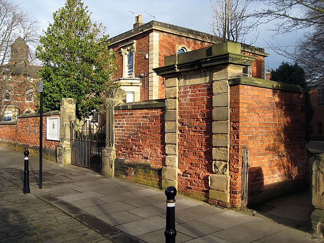
Boundary walls, Sixth Form Centre - geograph.org.uk - 1120715.jpg - GeographBot

Church of St. John the Baptist, St John's Square - geograph.org.uk - 1120635.jpg - GeographBot

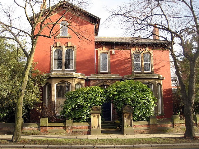
Cliff Field House, Burton Street - geograph.org.uk - 1128451.jpg - GeographBot

Cliff school, (St Johns Lodge), Leeds Road - geograph.org.uk - 1128463.jpg - GeographBot

County Hall annexe, Bond Street view - geograph.org.uk - 1128449.jpg - GeographBot

Gate pillars - geograph.org.uk - 1120725.jpg - GeographBot
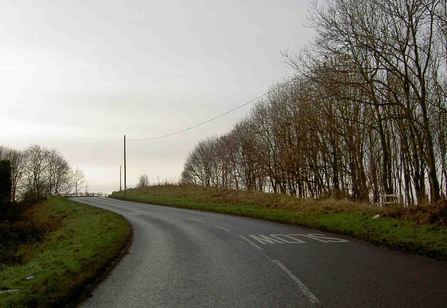
Park Mill Lane is about to cross the M1 motorway - geograph.org.uk - 1121132.jpg - GeographBot

St John's church tower, St John's Square - geograph.org.uk - 1128444.jpg - GeographBot

The end of the line - geograph.org.uk - 1124600.jpg - GeographBot

Cliff Hill House,Sandy Walk - geograph.org.uk - 1138097.jpg - GeographBot

Forecourt walls to Carlton House - geograph.org.uk - 1138091.jpg - GeographBot

View of North Wakefield - geograph.org.uk - 1138146.jpg - GeographBot
Wakefield College from Newstead Road - geograph.org.uk - 1138110.jpg - GeographBot

Entrance to Knottingley Amphitheatre - geograph.org.uk - 1147143.jpg - GeographBot

Knottingley Amphitheatre - geograph.org.uk - 1147150.jpg - GeographBot

Lady Anne Bridge - geograph.org.uk - 1259854.jpg - GeographBot

Lady Anne Bridge - geograph.org.uk - 1259860.jpg - GeographBot