Wikimedi'Òc
Modes d'emploi

Cet album fait partie des albums
Cet album photos contient les sous-albums suivants :


Picswiss VS-69-31.jpg - Dake~commonswiki
Picswiss VS-69-48.jpg - Dake~commonswiki

Illgraben.JPG - Wandervogel

View onto the Illgraben from the Bhutanese bridge (15892248587).jpg - Hiku2

Satellite station in Leuk seen from the Bhutanese bridge (15455710894).jpg - Hiku2

View onto the Illgraben from the Bhutanese bridge (15890570428).jpg - Hiku2
ETH-BIB-Agarn, Leukergrund, Illgraben v. O. aus 2500 m-Inlandflüge-LBS MH01-004418.tif - ETH-Bibliothek
ETH-BIB-Agarn, Leukergrund, Pfynwald, Illgraben, Illhorn, Meretschialp. Val d'Annivier v. O. aus 4000 m-Inlandflüge-LBS MH01-004420.tif - ETH-Bibliothek
ETH-BIB-Der Illgraben bei Lenk, Illhorn, Pfynwald, Agarn, Mont Blanc, Mont Blanc de Chilon v. O. aus 2000 m-Inlandflüge-LBS MH01-004417.tif - ETH-Bibliothek

Illgraben ViewNorth-LeukDaubenhornDalatal.jpg - Bathyscapher
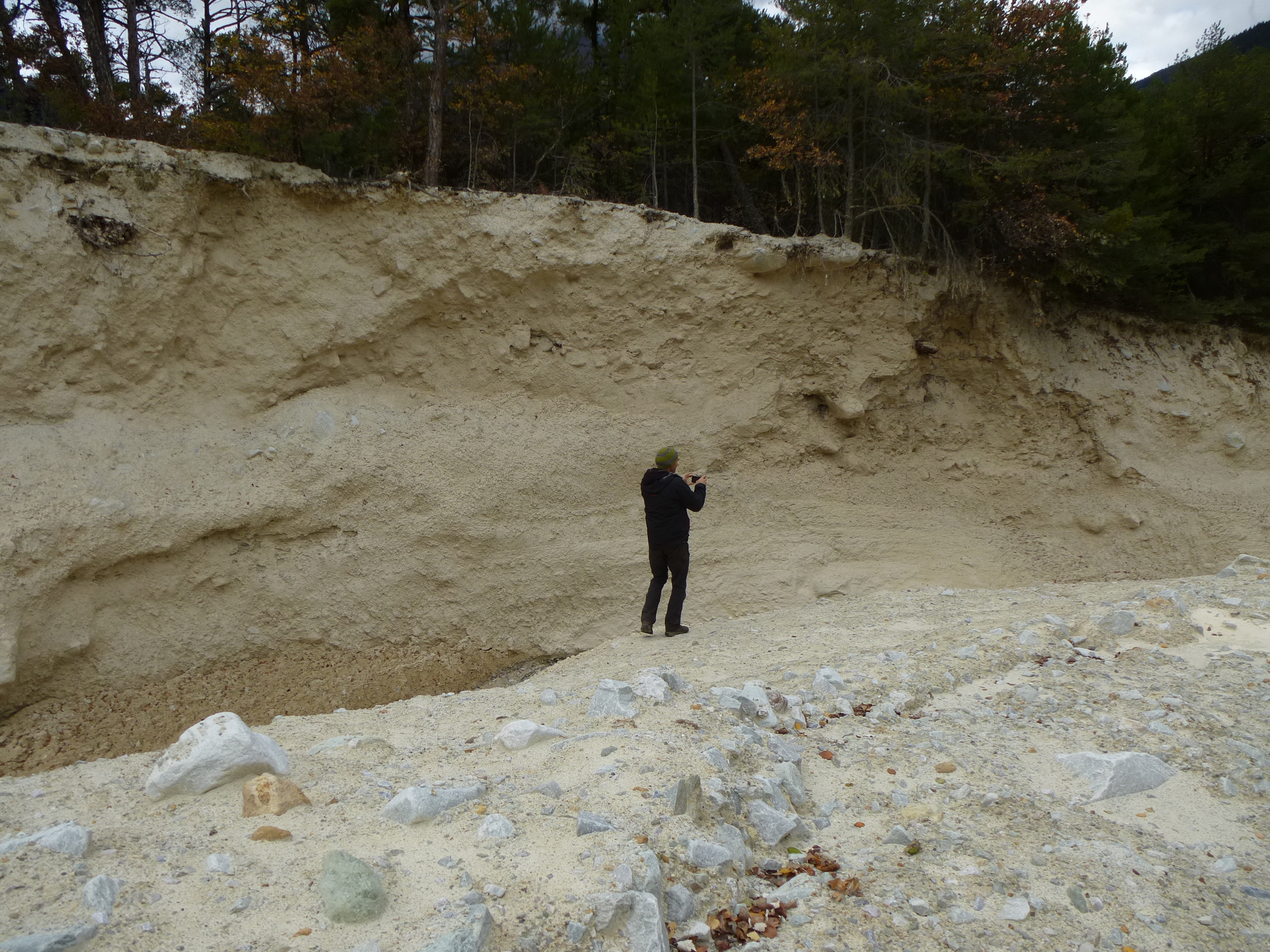
Illgraben LandslideWall.jpg - Bathyscapher

Illgraben Warning System.jpg - Bathyscapher

Illgraben Mouth.jpg - Bathyscapher
ETH-BIB-Illhorn, Illgraben-Dia 247-03277.tif - ETH-Bibliothek
ETH-BIB-Illgraben, auswärts-Dia 247-03276.tif - ETH-Bibliothek
ETH-BIB-Illgraben-Schuttkegel (Pfynwald), aus der Leukerbad-Bahn-Dia 247-07936.tif - ETH-Bibliothek
ETH-BIB-Illgraben Übersicht abwärts-Dia 247-13278.tif - ETH-Bibliothek
ETH-BIB-Illgraben, linke Talwand abwärts-Dia 247-13279.tif - ETH-Bibliothek
ETH-BIB-Leuk, Illgraben abwärts von der Kantonsstrassen-Brücke-Dia 247-13901.tif - ETH-Bibliothek
ETH-BIB-Leuk, Illgraben aufwärts von der Kantonsstrassen-Brücke-Dia 247-13902.tif - ETH-Bibliothek
ETH-BIB-Illgraben, Rückseite, Illhorn, Bergsturzhügel Sierre von Grans Vermala-Dia 247-15002.tif - ETH-Bibliothek
ETH-BIB-Illgraben, auswärts-Dia 247-F-00204.tif - ETH-Bibliothek

Illgraben depuis Jeizinen.jpg - Espandero

Illgraben depuis Lichten.jpg - Espandero