Wikimedi'Òc
Modes d'emploi

Cet album fait partie des albums


EnteringElizabeth0614.JPG - GK tramrunner229
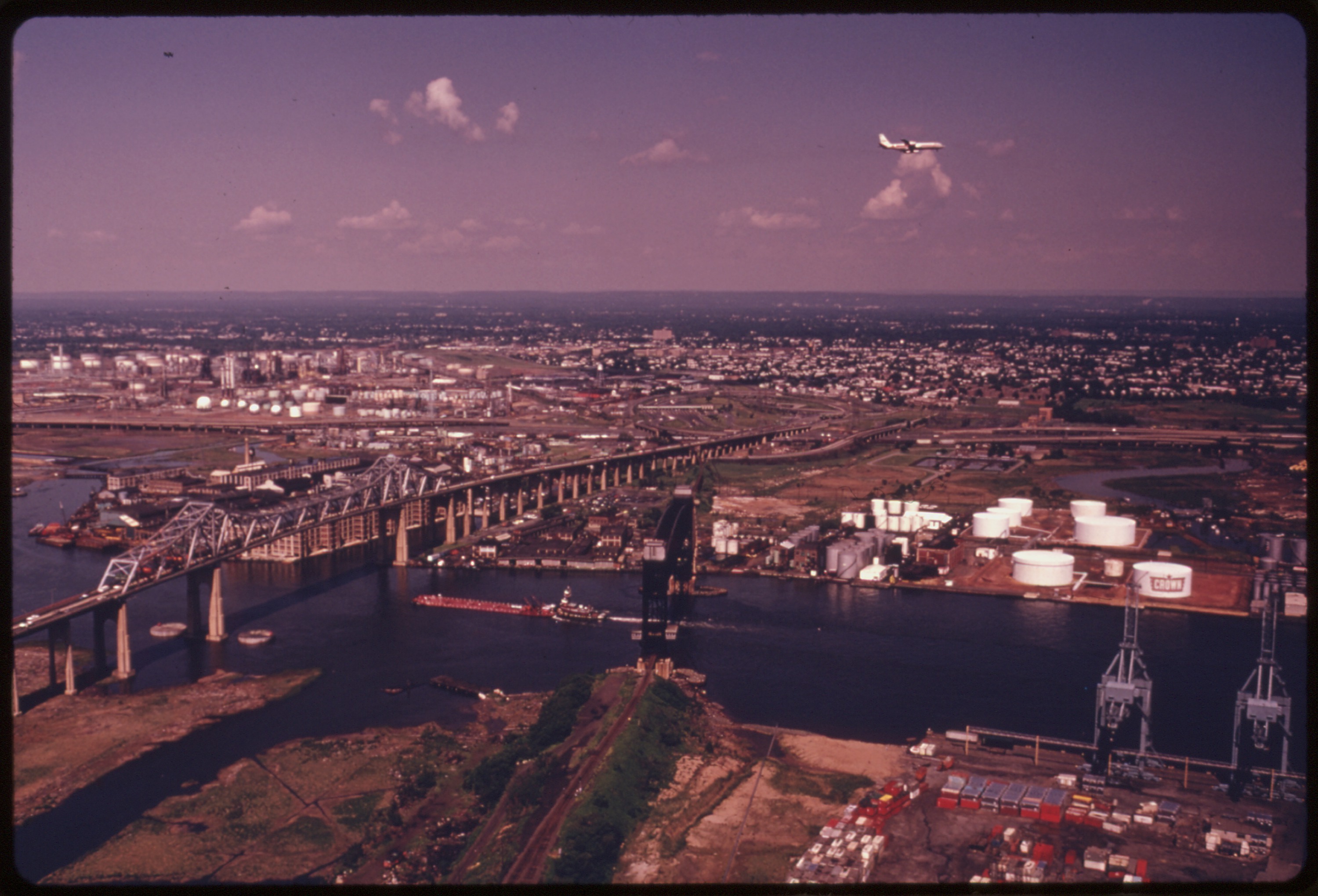
ArthurKill VerticalLift Goethals bridges.jpg - US National Archives bot
Sheet No. 6. (Includes Holland Hook (Howland Hook), Western Avenue, Catherine Street and Richmond Terrace.) NYPL1531719.tiff - Fæ
Part of Ward 3. (Map bound by State Line, Richmond Terrace (Shore RD), Arlington Ave, Baltimore and Ohio Railroad, Western Ave, Washington Ave, Old Place Creek) NYPL1646264.tiff - Fæ

NY Container Terminal Goethals gate jeh.jpg - Jim.henderson

New York container terminal (Staten Island) north gate.jpg - Jim.henderson

John's Cove (2).JPG - Glautenbach1

Rsz johns cove 2.jpg - Glautenbach1

码头 - panoramio (5).jpg - Panoramio upload bot

Howland Hook Arthur Kill Staten Island.jpg - Panoramio upload bot

New Goethals Bridge from airplane.jpg - Sidpatil
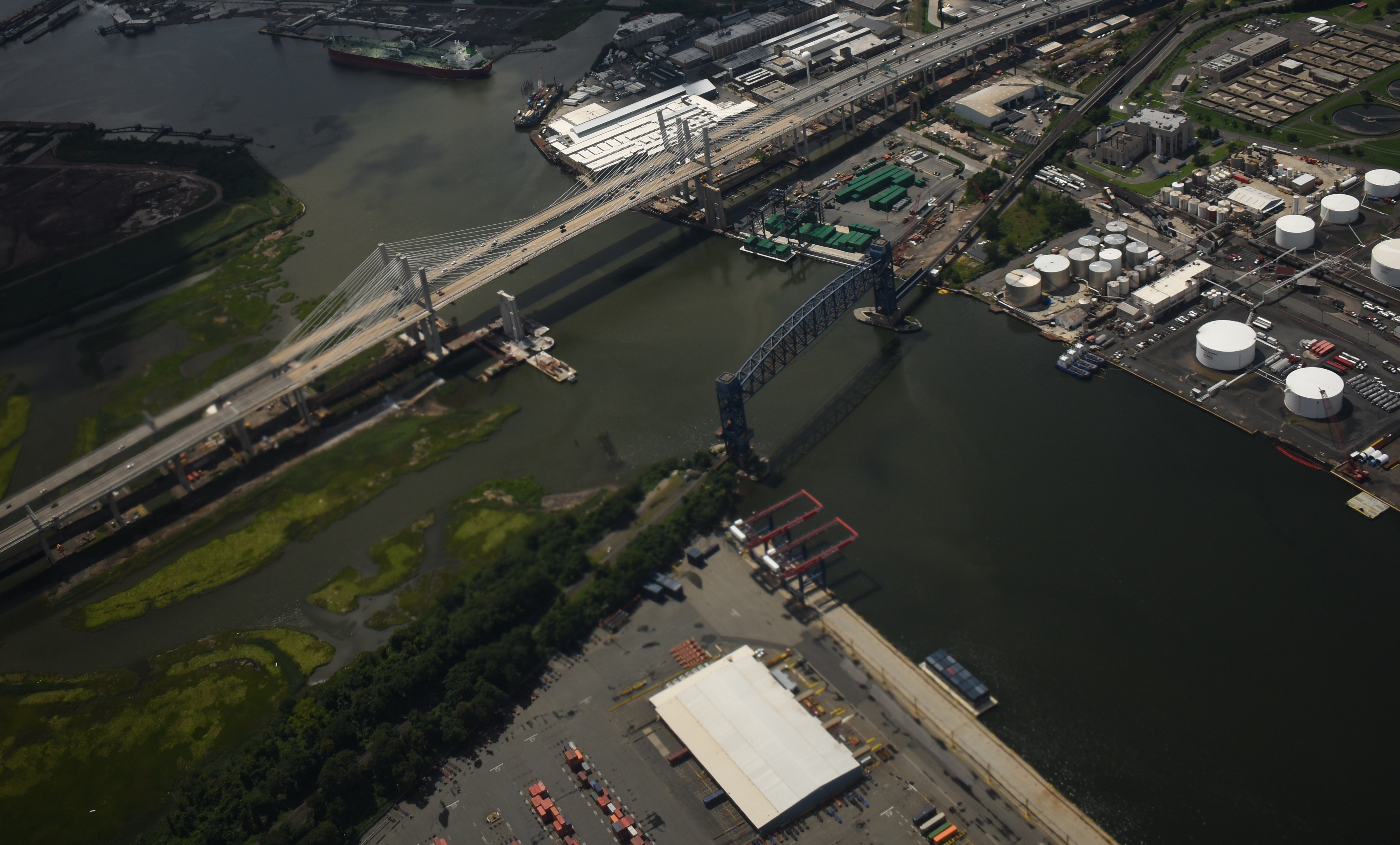
New Goethals Bridge from airplane cropped.jpg - ArnoldReinhold

1950 Census Enumeration District Maps - New York (NY) - Richmond County - Richmond - ED 43-1 to 285 - NARA - 24519610 (page 2).jpg - US National Archives bot

Port Ivory from Goethals Br jeh.jpg - Jim.henderson

Old Place Creek mouth jeh.jpg - Jim.henderson