Wikimedi'Òc
Modes d'emploi

Cet album fait partie des albums
Cet album photos contient les sous-albums suivants :


Stamp-south-carolina.jpg - Greudin
Timrodschool9367.JPG - Janneman
Nullification Controversy in South Carolina.djvu - Mattwj2002

Amelia Island Medal 1817.jpg - File Upload Bot (Magnus Manske)
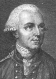
SirHenryClintonClip.jpg - File Upload Bot (Magnus Manske)

Charlestonhome.jpg - File Upload Bot (Magnus Manske)

Tillman0271.jpg - SreeBot
Wpdms carolina colony grant.png - SreeBot

South Carolina (1860) orthographic.svg - Spesh531

490th Bombardment Group - B-17G Flying Fortresses 43-37907.jpg - Connor7617

Harper's weekly (1865) (14578936047).jpg - Fæ
Lord Charles Montagu, South Carolina Governor.png - Hantsheroes

Image taken from page 17 of 'The History of South Carolina under the Proprietary Government, 1670-1719' (11242405735).jpg - SteinsplitterBot

Image taken from page 17 of 'The History of South Carolina under the Proprietary Government, 1670-1719' (16564311416).jpg - Artix Kreiger 2

Image taken from page 17 of 'The History of South Carolina under the Proprietary Government, 1670-1719' (15968134534).jpg - Artix Kreiger 2

Battle of Long Cane with Colonel Elijah Clark.jpg - Jonwaldorf
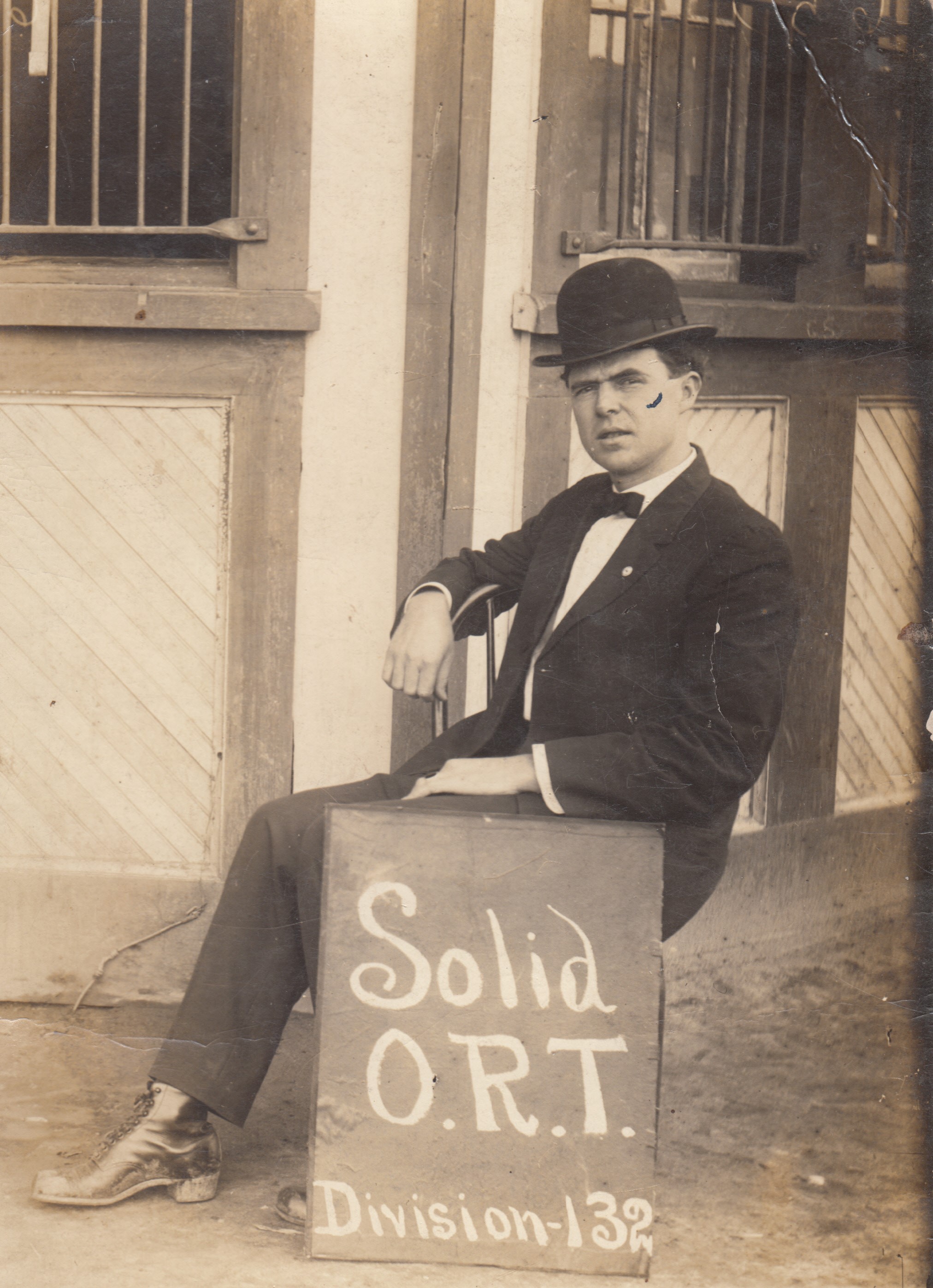
DJ Kirton ORT.jpg - Shadwstorm
Twentieth century sketches of the South Carolina Conference, M.E. Church, South.djvu - Gamaliel

Headquarters, Second Military District label - NARA - 70653080.jpg - US National Archives bot
The Constitution of the State of South Carolina, April 8, 1861.. - DPLA - 7cd4a67f43a485cd5dce189ae2535c96 (page 7).jpg - DPLA bot
The olden time of Carolina (IA oldentimeofcarol00poya).pdf - Fæ
A sketch of the history of South Carolina - to the close of the proprietary government by the revolution of 1719 (IA sketchofhistoryo00rive).pdf - Fæ
The history of South Carolina under the proprietary government, 1670-1719 (IA historyofsouthca00mcc).pdf - Fæ
Historic houses of South Carolina (IA historichousesof00leid).pdf - Fæ
The Jews of South Carolina from the earliest settlement to the end of the American revolution (IA jewsofsouthcarol00hh).pdf - Fæ
Narratives of early Carolina, 1650-1708 (IA narrativesofearl00sall).pdf - Fæ
The newspaper press of Charleston, S.C. - a chronological and biographical history, embracing a period of one hundred and forty years (IA newspaperpressof00kingrich).pdf - Fæ
Twentieth century sketches of the South Carolina Conference, M.E. Church, South (IA twentiethcentury00dunc).pdf - Fæ
Historic houses of South Carolina (IA cu31924014764066).pdf - Fæ

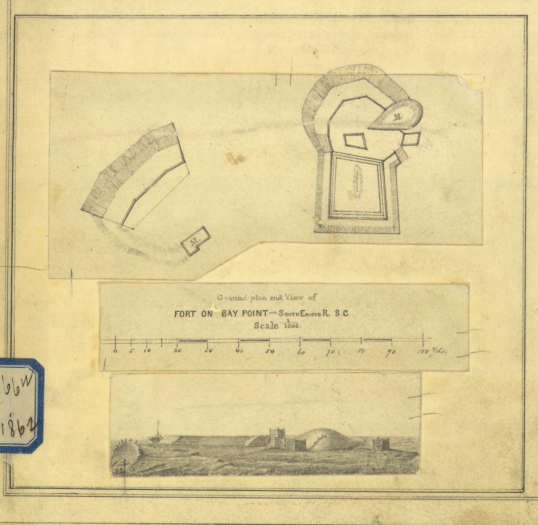
Smooth version blowup ground pland and view of Fort on Bay Point - South Edisto River, S.C. from cgs05212, 1862 - Cgs05211.jpg - Ooligan

Final printed view of Fort on Sam's Point, Coosaw River, S.C. from cgs05212, 1862 - Cgs05207.jpg - Ooligan
Blowup ground plan and view of Fort on Bay Point - South Edisto River, S.C. from cgs05197, 1862 - Cgs05210.jpg - Ooligan

Smooth version of "Plans and Views of Rebel Defences coast of South Carolina." See cgs05197 for the original copy, 1862 - Cgs05212.jpg - Ooligan

View of Fort on Sams' Point, Coosaw River, S.C. from cgs05197, 1862 - Cgs05206.jpg - Ooligan

Plan and view of Fort Otter Island Point - St. Helena Sound, S.C. from cgs05212. The Coast Survey steamer BIBB is probably the small ship on the right, 1862 - Cgs05205.jpg - Ooligan

Mockup plan and view of Fort on Otter Island Point - St. Helena Sound, S.C. from cgs05197. The Coast Survey Steamer BIBB is probably the small ship on the right, 1862 - Cgs05204.jpg - Ooligan

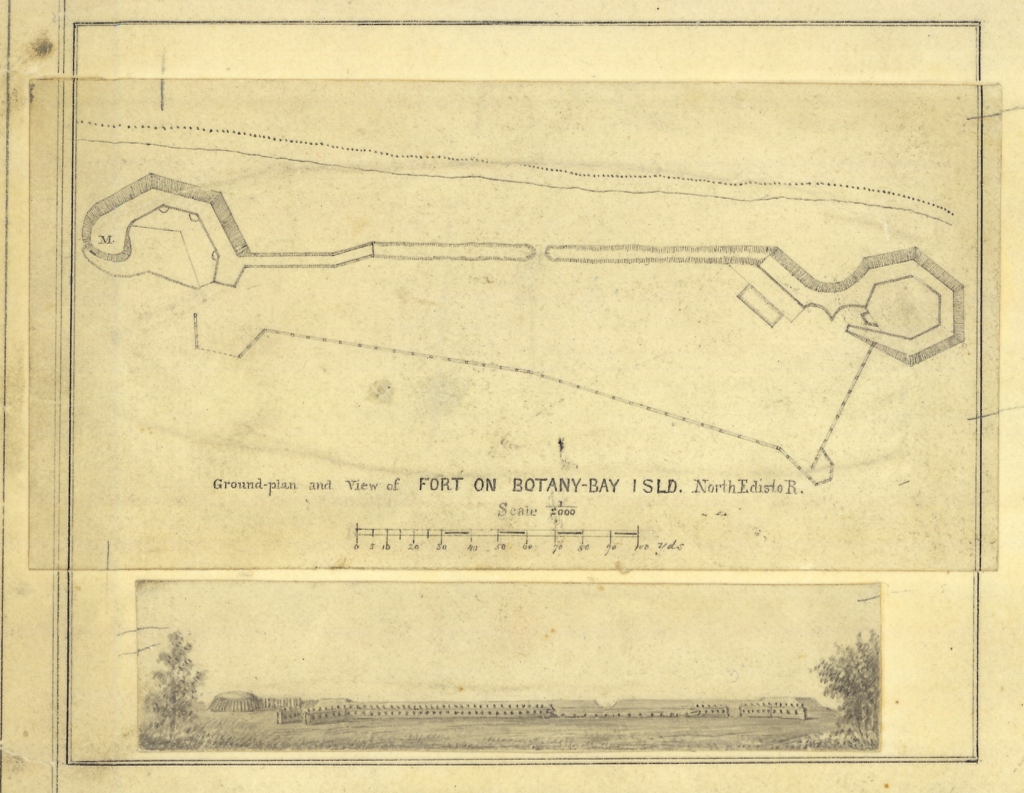
Smoother version blowup ground plan and view of Fort on Botany - Bay Island, North Edisto River from cgs05212, 1862 - Cgs05203.jpg - Ooligan
Mockup ground plan and view of Fort on Botany - Bay Island, North Edisto River. from cgs05197, 1862 - Cgs05202.jpg - Ooligan

Published plan and view of Fort "Beauregard" - Bay Point, S.C. from cgs05212, 1862 - Cgs05201.jpg - Ooligan

Mockup view of Fort Walker - Hilton Head Island from cgs05197 "Plans and Views of Rebel Defences coast of South Carolina." 1862 - Cgs05198.jpg - Ooligan

Mockup plan and view of Fort Beauregard - Bay Point, S.C. from cgs05197, 1862 - Cgs05200.jpg - Ooligan

Pencil sketch blowup view of Fort on Fenwick's Island, S.C. from cgs05197, 1862 - Cgs05208.jpg - Ooligan

Preliminary Chart of "Charleston Harbor and its approaches" from a Trigonometrical Survey. Published in 1858, additions in 1862. Color-coded for land use, vegetation and relative water depth - an early GIS concept, 1862 - Cgs05214.jpg - Ooligan

Map showing siege operations against Sumter and Wagner Morris Island, South Carolina between July 13th and September 7th by J. B. Brooks on October 15, 1863 - Cgs05232.jpg - Ooligan

Smoother version blowup view of Fort on Fenwick's Island, S.C. from cgs05212, 1862 - Cgs05209.jpg - Ooligan

Map from Indian land cessions in the United States by Charles C. Royce 10.jpg - Jengod
National Museum of American History - Slave tags of Charleston South Carolina.jpg - Jengod

Eugene Dovilliers - South Carolina Lunatic Asylum.jpg - Aghabog

Lewis Hine, Young Oyster Shuckers, Port Royal, South Carolina, 1909.jpg - Otto Sheva2

Orangeburg Massacre Times and Democrat February 9 1968 Dozier MobleyA.jpg - Kieronoldham