Wikimedi'Òc
Modes d'emploi

Cet album fait partie des albums
Cet album photos contient les sous-albums suivants :


SF view12.JPG - Urban~commonswiki

Lucas Valley, California.JPG - JDoorjam

Morses Gulch 3431.JPG - Optigan13

Ft. Baker, GGNRA aerial.jpg - File Upload Bot (Magnus Manske)

Point Reyes Marshall Trail 2.jpg - Kajopix

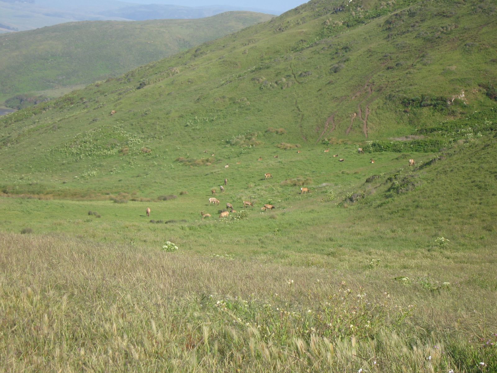
Mmerosionrazorback.jpg - Addihockey10

San Anselmo, CA 1936 Aerial Photo.jpg - FAHansson
Telephoto view from Mt. Tamalpais, of Panoramic Highway heading south, with the Marin headlands and San Francisco in the distance. A strong inversion layer created misty conditions under a clear skies. - panoramio.jpg - Panoramio upload bot

View south from western flank of Mt. Tamalpais, along the Pan Toll Road. Classic January weather for the San Francisco Bay Area. - panoramio.jpg - Panoramio upload bot

Marin County, CA, USA - panoramio.jpg - Panoramio upload bot

Samuel Taylor State Park. The view from trails along Devil's Gulch peers through a dense green canopy at the grassy hills above. - panoramio.jpg - Panoramio upload bot
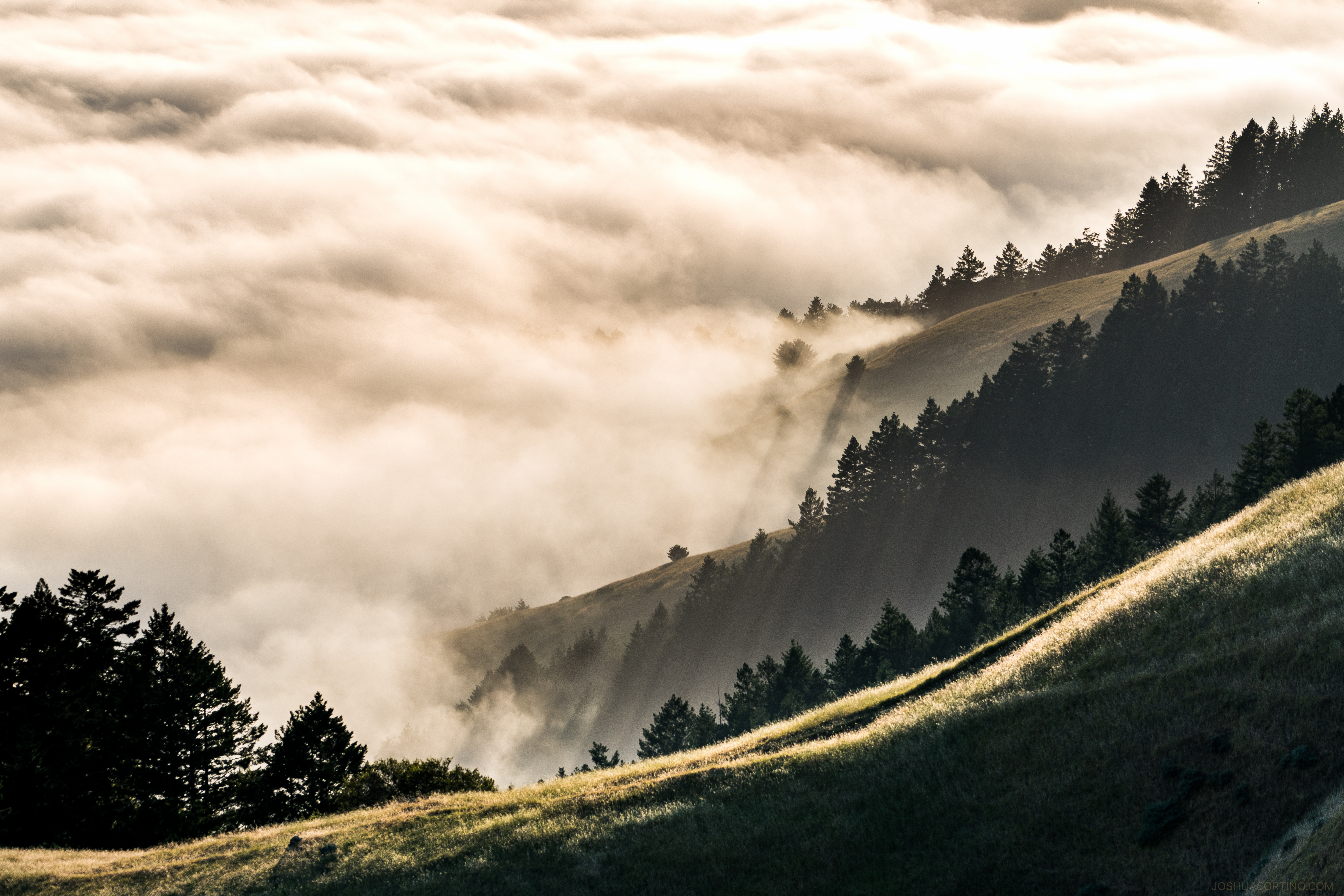
Fog rolls across the hills near the Golden Gate Bridge, San Francisco, California LCCN2013632567.tif - Fæ
Fog rolls across the hills near the Golden Gate Bridge, San Francisco, California LCCN2013632570.tif - Fæ

Tomales Bay - San Andreas fault - Flickr - brewbooks.jpg - Josve05a

The Sun Trail, traversing the slope opposite. The Dipsea Trail is descending the ravine at the bottom of the photo, heading to cross Muir Woods Road and across the valley on the left. - panoramio.jpg - Panoramio upload bot

Marin County, CA, USA - panoramio - md. childress.jpg - Panoramio upload bot

Lucas Valley Road looking East toward San Pablo Bay - panoramio.jpg - Panoramio upload bot

The eastern end of Bon Tempe Lake on Mt. Tamalpais' northern slope. - panoramio.jpg - Panoramio upload bot

The eastward view across Lake Lagunitas on Mt. Tamalpais. - panoramio.jpg - Panoramio upload bot

San Francisco Summer 053 - Flickr - GregTheBusker.jpg - Josve05a

San Francisco Summer 051 - Flickr - GregTheBusker.jpg - Josve05a

San Francisco Summer 048 - Flickr - GregTheBusker.jpg - Josve05a

San Francisco Summer 042 - Flickr - GregTheBusker.jpg - Josve05a
San Francisco Summer 040 - Flickr - GregTheBusker.jpg - Josve05a

Muir Woods National Monument trail.jpg - Runner1928

Southwest of Petaluma - panoramio.jpg - Panoramio upload bot

Marin County, United States (Unsplash).jpg - Fæ

Sausalito, Estados Unidos (Unsplash).jpg - Fæ
Sunset beyond the fog (Unsplash).jpg - Fæ

Sunrise from Mt Tam (Unsplash).jpg - Fæ

Marin County countryside (10303538716).jpg - Artix Kreiger 2

San Quentin Prison Marin County.jpg - Brianc333a

Lucas Valley CA.jpg - Embedded Data Bot

Nicasio Reservoir in Marin County California.jpg - Dpalma01

Marin Fields (114375899).jpeg - Rodrigo.Argenton

Tennessee-valley-trail-pano spring facing-east.jpg - Jmatazzoni

Tennessee-valley trail facing-east.jpg - Jmatazzoni

Marin County (41978524892).jpg - Matlin

A volte ho voluto vivere in Spagna o in Svezia, ma giusto sono contento. Sono a casa. (51029578797).jpg - JrandWP

Rush Creek Open Space Preserve 3.jpg - Mx. Granger

Sleepy Hollow 1.jpg - Mx. Granger

Sleepy Hollow 3.jpg - Mx. Granger

Sleepy Hollow 2.jpg - Mx. Granger

The Veench Vista - Marin County.jpg - Tim-desser